
Grande Escursione Appenninica
Description
- Name Grande Escursione Appenninica (GEA)
- Length of trail 375 km, 233 miles
- Length in days 25 days
- Traildino grading SW, Strenuous walk, mountain trail
- Hut tour grading T2, Mountain walk


GEA
375 km, 25 days.
Links
Facts
Reports
Guides and maps
Lodging
Organisations
Tour operators
GPS
Other
Books

Stanfords
United Kingdom
2016
United Kingdom
2016
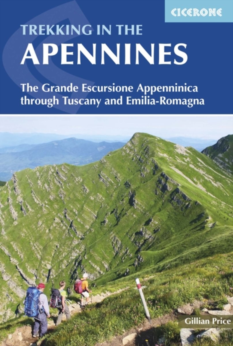
- Apennines Trekking - The Grande Escursione Appenninica
- This guidebook describes the Grande Escursione Appenninica (GEA), a nearly 400km long, three week trek crossing the Appenines in 23 stages, from Bocca Trabaria to Passo Due Santi on the edge of Liguria. The route dips in and out of Tuscany and Emilia-Romagna, never dropping below 400 metres. Best walked between spring and autumn, it is suitable... Read more
- Also available from:
- The Book Depository, United Kingdom
- Bol.com, Netherlands
- Bol.com, Belgium
- De Zwerver, Netherlands

The Book Depository
United Kingdom
2016
United Kingdom
2016
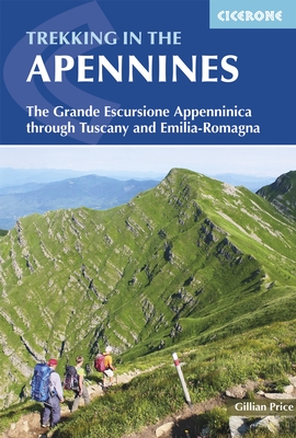
- Trekking in the Apennines
- The Grande Escursione Appenninica Read more
Bol.com
Netherlands
2016
Netherlands
2016
- Trekking in the Apennines
- This guidebook describes the Grande Escursione Appenninica (GEA), a nearly 400km long, three week trek crossing the Apenines in 23 stages, from Bocca Trabaria to Passo Due Santi on the edge of Liguria. The route dips in and out of Tuscany and Emilia-Romagna, never dropping below 400 metres. Best walked between spring and autumn, it is suitable... Read more
Bol.com
Belgium
2016
Belgium
2016
- Trekking in the Apennines
- This guidebook describes the Grande Escursione Appenninica (GEA), a nearly 400km long, three week trek crossing the Apenines in 23 stages, from Bocca Trabaria to Passo Due Santi on the edge of Liguria. The route dips in and out of Tuscany and Emilia-Romagna, never dropping below 400 metres. Best walked between spring and autumn, it is suitable... Read more
De Zwerver
Netherlands
2016
Netherlands
2016
- Wandelgids Trekking in the Apennines - Apennijnen | Cicerone
- Guidebook to the Grand Apennines Trek, or Grande Escursione Appenninica (GEA). Through Tuscany and Emilia-Romagna and two National Parks, this 400km, 23 day trail explores the mountains, forests and hills of central Italy. Suitable for a range of walkers, it can be split into shorter sections or day walks if needed. Read more
Bol.com
Netherlands
Netherlands
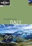
- Lonely Planet Italy Walking Guide
- This is a guide to walks throughout the whole of Italy, this book has a map for every walk, regional maps for planning and a country map in full colour. It also covers classics such as the Grande Escursione Appenninica and Grand Traversata delle Alpi. Read more
- Also available from:
- Bol.com, Belgium
Bol.com
Belgium
Belgium
- Lonely Planet Italy Walking Guide
- This is a guide to walks throughout the whole of Italy, this book has a map for every walk, regional maps for planning and a country map in full colour. It also covers classics such as the Grande Escursione Appenninica and Grand Traversata delle Alpi. Read more
Maps

Stanfords
United Kingdom
United Kingdom
- Gruppi Argentera e Marguareis Edizioni Multigraphic 109/115
- Gruppi Argentera e Marguareis, map no. 109/115 at 1:25,000 from Edizioni Multigraphic covering the Italian Alps along the southern part of the border between Piedmont and France, south of Cuneo. Coverage includes the Pallanfre Reserve, Colle di Tenda / Col de Tende, and Parco Naturale Valle Pesio. Map corners give latitude and longitude based... Read more
Bol.com
Netherlands
Netherlands
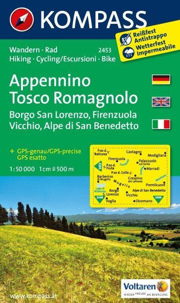
- Appennino Tosco-Romagnolo WK2453
- Deze kaart is ideaal voor het uitstippelen van wandel- en fietsroutes en om onderweg te gebruiken • goed leesbare kaart met heel veel topografische details • duidelijke symbolen maken de kaart extra overzichtelijk • wandel- en fietsroutes zijn aangegeven • praktische informatie over de regio • bruikbaar met GPS • nuttige informatie voor... Read more
- Also available from:
- Bol.com, Belgium
Bol.com
Belgium
Belgium
- Appennino Tosco-Romagnolo WK2453
- Deze kaart is ideaal voor het uitstippelen van wandel- en fietsroutes en om onderweg te gebruiken • goed leesbare kaart met heel veel topografische details • duidelijke symbolen maken de kaart extra overzichtelijk • wandel- en fietsroutes zijn aangegeven • praktische informatie over de regio • bruikbaar met GPS • nuttige informatie voor... Read more
Bol.com
Netherlands
Netherlands
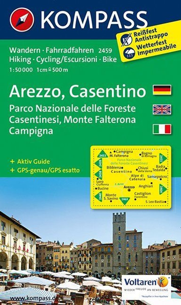
- Arezzo, Casentino WK 2459
- Deze kaart is ideaal voor het uitstippelen van wandel- en fietsroutes en om onderweg te gebruiken • goed leesbare kaart met heel veel topografische details • duidelijke symbolen maken de kaart extra overzichtelijk • wandel- en fietsroutes zijn aangegeven • praktische informatie over de regio • bruikbaar met GPS • nuttige informatie voor... Read more
- Also available from:
- Bol.com, Belgium
Bol.com
Belgium
Belgium
- Arezzo, Casentino WK 2459
- Deze kaart is ideaal voor het uitstippelen van wandel- en fietsroutes en om onderweg te gebruiken • goed leesbare kaart met heel veel topografische details • duidelijke symbolen maken de kaart extra overzichtelijk • wandel- en fietsroutes zijn aangegeven • praktische informatie over de regio • bruikbaar met GPS • nuttige informatie voor... Read more
Bol.com
Netherlands
Netherlands
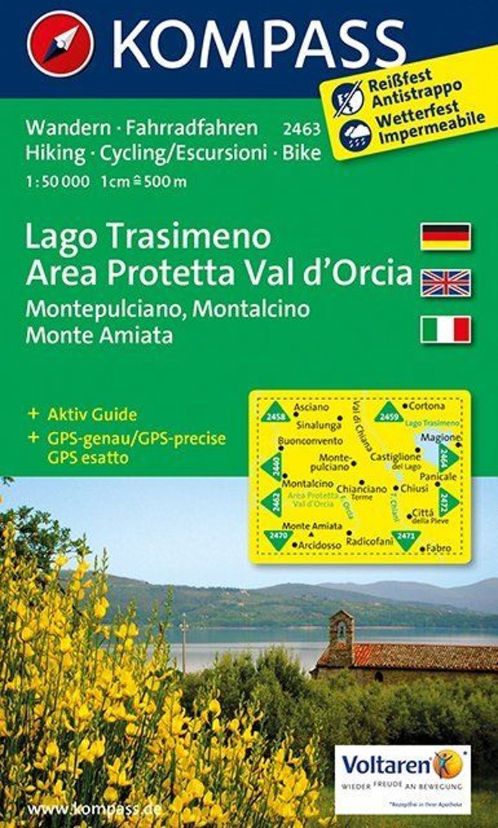
- Lago Trasimeno, Areo Protetta, Val d'Orcia WK2463
- Deze kaart is ideaal voor het uitstippelen van wandel- en fietsroutes en om onderweg te gebruiken • goed leesbare kaart met heel veel topografische details • duidelijke symbolen maken de kaart extra overzichtelijk • wandel- en fietsroutes zijn aangegeven • praktische informatie over de regio • bruikbaar met GPS • nuttige informatie voor... Read more
- Also available from:
- Bol.com, Belgium
Bol.com
Belgium
Belgium
- Lago Trasimeno, Areo Protetta, Val d'Orcia WK2463
- Deze kaart is ideaal voor het uitstippelen van wandel- en fietsroutes en om onderweg te gebruiken • goed leesbare kaart met heel veel topografische details • duidelijke symbolen maken de kaart extra overzichtelijk • wandel- en fietsroutes zijn aangegeven • praktische informatie over de regio • bruikbaar met GPS • nuttige informatie voor... Read more
Bol.com
Netherlands
Netherlands
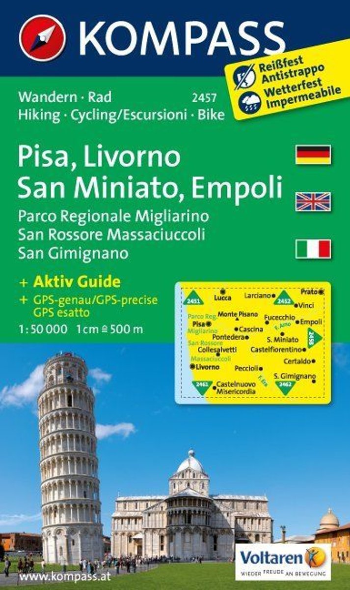
- Pisa, Livorno, San Miniato, Empoli WK2457
- Deze kaart is ideaal voor het uitstippelen van wandel- en fietsroutes en om onderweg te gebruiken • goed leesbare kaart met heel veel topografische details • duidelijke symbolen maken de kaart extra overzichtelijk • wandel- en fietsroutes zijn aangegeven • praktische informatie over de regio • bruikbaar met GPS • nuttige informatie voor... Read more
- Also available from:
- Bol.com, Belgium
Bol.com
Belgium
Belgium
- Pisa, Livorno, San Miniato, Empoli WK2457
- Deze kaart is ideaal voor het uitstippelen van wandel- en fietsroutes en om onderweg te gebruiken • goed leesbare kaart met heel veel topografische details • duidelijke symbolen maken de kaart extra overzichtelijk • wandel- en fietsroutes zijn aangegeven • praktische informatie over de regio • bruikbaar met GPS • nuttige informatie voor... Read more
Bol.com
Netherlands
Netherlands
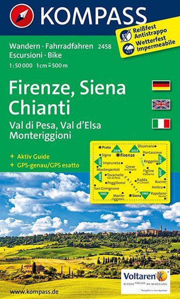
- Florence, Siena, Chianti WK2458
- Deze kaart is ideaal voor het uitstippelen van wandel- en fietsroutes en om onderweg te gebruiken • goed leesbare kaart met heel veel topografische details • duidelijke symbolen maken de kaart extra overzichtelijk • wandel- en fietsroutes zijn aangegeven • praktische informatie over de regio • bruikbaar met GPS • nuttige informatie voor... Read more
- Also available from:
- Bol.com, Belgium
Bol.com
Belgium
Belgium
- Florence, Siena, Chianti WK2458
- Deze kaart is ideaal voor het uitstippelen van wandel- en fietsroutes en om onderweg te gebruiken • goed leesbare kaart met heel veel topografische details • duidelijke symbolen maken de kaart extra overzichtelijk • wandel- en fietsroutes zijn aangegeven • praktische informatie over de regio • bruikbaar met GPS • nuttige informatie voor... Read more

De Zwerver
Netherlands
Netherlands
- Wandelkaart 2458 Firenze - Siena - Chianti | Kompass
- Florence - Siena - Chianti area on a double-sided map at 1:50,000 from Kompass, printed on durable, waterproof and tear-resistant synthetic paper. Coverage includes Val di Pesa, Val d’Elsa, Monteriggioni, etc. Contours are at 40m intervals, with a 2-km UTM grid. Extensive overprint includes GEA - Grande Escursione Appenninica, Sentiero Italia,... Read more