
Sierra Nevada
Description
Links
Facts
Reports
Guides and maps
Lodging
Organisations
Tour operators
GPS
Other
Books

Stanfords
United Kingdom
United Kingdom
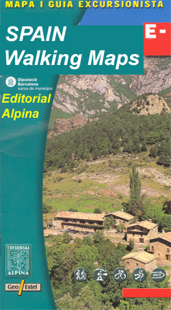
- Sierra Nevada Mountain Guidebook
- Sierra Nevada Mountain Guidebook in English from Editorial Penibetica, publishers of a wide range of detailed, contoured walking maps of popular hiking areas of Andalucía. Colour extracts from their maps, overprinted with 40 routes, accompany the text.The guide is divided into colour-coded sections covering walks from different locations such... Read more

Stanfords
United Kingdom
United Kingdom
- DK Eyewitness `Back Roads` California
- Take to the open road with Back Roads California and discover 24 leisurely drives through the state`s idyllic hamlets, gorgeous beaches and sprawling vineyards. Tour the Pacific Coast Highway, explore the vineyards of the Napa Valley, or drive through Yosemite National Park. Packed with insider tips and information, this easy-to-use guide... Read more

The Book Depository
United Kingdom
United Kingdom
- Sierra South
- Backcountry Trips in California's Sierra Nevada Read more
The Book Depository
United Kingdom
United Kingdom

The Book Depository
United Kingdom
United Kingdom
- Hiking the Sierra Nevada
- A Guide to the Area's Greatest Hiking Adventures Read more

The Book Depository
United Kingdom
United Kingdom
- Five-Star Trails: Lake Tahoe
- 40 Unforgettable Hikes in the Central Sierra Nevada Read more

Stanfords
United Kingdom
United Kingdom
- Alpujarras Tour & Trail Super-Durable Map
- For the best adventures, use the best map. The Moorish white villages of the Alpujarras are well known to day trippers from the Costa del Sol. For walkers this is an idyllic region with stone-laid donkey trails linking the tipico villages and stretching up the southern slopes of the Sierra Nevada to Mulhacen; at 3,483 metres the highest... Read more
- Also available from:
- The Book Depository, United Kingdom
- De Zwerver, Netherlands


The Book Depository
United Kingdom
United Kingdom
- Sierra North
- Backcountry Trips in California's Sierra Nevada Read more
Bol.com
Netherlands
Netherlands
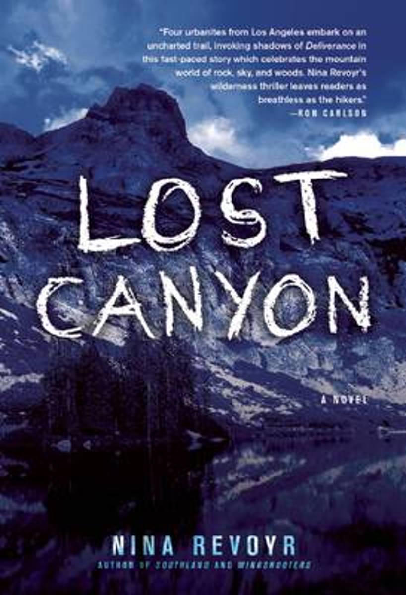
- Lost Canyon
- "Revoyr [is] an edgy and spellbinding writer with an uncanny gift for aligning human struggles with nature's glory and perils....With ravishing descriptions of the magnificent landscape, unrelenting suspense, incisive psychology, and shrewd perspectives on matters of race and gender, Revoyr has created a gripping tale of unintended adventure... Read more
- Also available from:
- Bol.com, Belgium
Bol.com
Belgium
Belgium
- Lost Canyon
- "Revoyr [is] an edgy and spellbinding writer with an uncanny gift for aligning human struggles with nature's glory and perils....With ravishing descriptions of the magnificent landscape, unrelenting suspense, incisive psychology, and shrewd perspectives on matters of race and gender, Revoyr has created a gripping tale of unintended adventure... Read more
De Zwerver
Netherlands
2024
Netherlands
2024
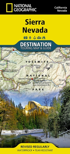
- Wegenkaart - landkaart Sierra Nevada | National Geographic
- Travel & Languages Reference Atlases International Books Read more
Bol.com
Netherlands
Netherlands
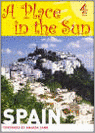
- A Place in the Sun
- Over 20 million Brits are currently thinking of buying a home abroad and their country of choice is Spain. A Place in the Sun: Spain is here to show just how easy finding that dream home can be. Lavishly illustrated in colour throughout, this easy to use guide is packed with practical advice on everything from visa applications and property... Read more
- Also available from:
- Bol.com, Belgium
Bol.com
Belgium
Belgium
- A Place in the Sun
- Over 20 million Brits are currently thinking of buying a home abroad and their country of choice is Spain. A Place in the Sun: Spain is here to show just how easy finding that dream home can be. Lavishly illustrated in colour throughout, this easy to use guide is packed with practical advice on everything from visa applications and property... Read more
Bol.com
Netherlands
Netherlands
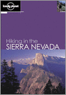
- Hiking In The Sierra Nevada
- Covering the entire Sierras, including the Lake Tahoe area, the Eastern Sierra, Yosemite, Mono Lake and Sequoia National Park, this guide offers day hikes for the beginner through to long hikes for seasoned trekkers, with a flora and fauna section on the Sierras' unique wild and plant life. Read more
- Also available from:
- Bol.com, Belgium
Bol.com
Belgium
Belgium
- Hiking In The Sierra Nevada
- Covering the entire Sierras, including the Lake Tahoe area, the Eastern Sierra, Yosemite, Mono Lake and Sequoia National Park, this guide offers day hikes for the beginner through to long hikes for seasoned trekkers, with a flora and fauna section on the Sierras' unique wild and plant life. Read more
Bol.com
Netherlands
Netherlands
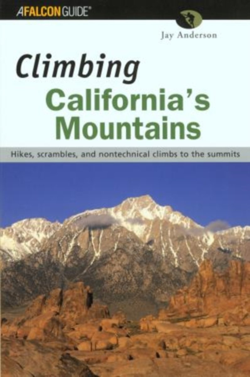
- Climbing California's Mountains
- California's Sierra Nevada, Trinity Mountains, and coast ranges are among the most spectacular mountain landscapes in North America. Readers are guided to 69 hikes and climbs up California's highest and most beautiful peaks. While there are some technical climbs, most of these summits can be reached without the use of specialized climbing or... Read more
- Also available from:
- Bol.com, Belgium
Bol.com
Belgium
Belgium
- Climbing California's Mountains
- California's Sierra Nevada, Trinity Mountains, and coast ranges are among the most spectacular mountain landscapes in North America. Readers are guided to 69 hikes and climbs up California's highest and most beautiful peaks. While there are some technical climbs, most of these summits can be reached without the use of specialized climbing or... Read more
Bol.com
Netherlands
Netherlands
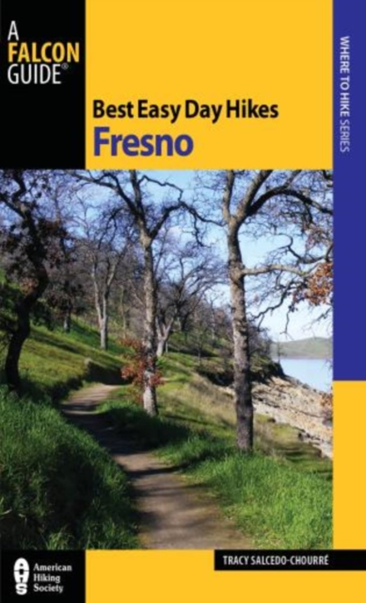
- Best Easy Day Hikes Fresno
- Best Easy Day Hikes Fresno includes descriptions and detailed maps for seventeen easy-to-follow trails, from urban paths to scenic routes in the foothills of the Sierra Nevada, many along the San Joaquin River. Enjoy the Pine Flat Lake as you follow the Edison Point Loop; stand above the tumbling San Joaquin on the Bridge Trail; or get a good... Read more
- Also available from:
- Bol.com, Belgium
Bol.com
Belgium
Belgium
- Best Easy Day Hikes Fresno
- Best Easy Day Hikes Fresno includes descriptions and detailed maps for seventeen easy-to-follow trails, from urban paths to scenic routes in the foothills of the Sierra Nevada, many along the San Joaquin River. Enjoy the Pine Flat Lake as you follow the Edison Point Loop; stand above the tumbling San Joaquin on the Bridge Trail; or get a good... Read more

Stanfords
United Kingdom
United Kingdom
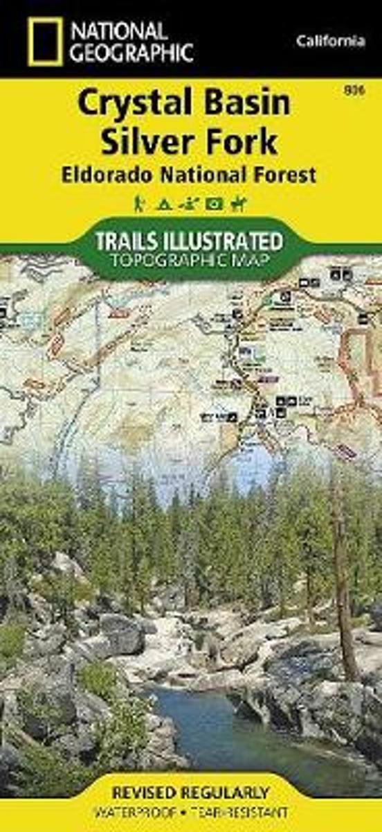
- Crystal Basin - Silver Fork - Eldorado National Forest CA
- Map No. 806, Crystal Basin / Silver Fork / Eldorado National Forest, CA, in an extensive series of GPS compatible, contoured hiking maps of USA’s national and state parks or forests and other popular recreational areas. Cartography based on the national topographic survey, with additional tourist information.The maps, with most titles now... Read more
- Also available from:
- The Book Depository, United Kingdom
- Bol.com, Netherlands
- Bol.com, Belgium

The Book Depository
United Kingdom
United Kingdom
- Crystal Basin/silver Fork/eldorado National Forest
- Trails Illustrated Other Rec. Areas Read more
Bol.com
Netherlands
Netherlands
- Crystal Basin/silver Fork/eldorado National Forest
- Waterproof Tear-Resistant Topographic MapPart of our exciting new coverage for California's Central Sierra Nevada, our Crystal Basin and Silver Fork Trails Illustrated map details the high use recreation areas of Eldorado National Forest stretching from Hell Hole Reservoir and Tahoe National Forest at the North, to Salt Springs Reservoir... Read more
Bol.com
Belgium
Belgium
- Crystal Basin/silver Fork/eldorado National Forest
- Waterproof Tear-Resistant Topographic MapPart of our exciting new coverage for California's Central Sierra Nevada, our Crystal Basin and Silver Fork Trails Illustrated map details the high use recreation areas of Eldorado National Forest stretching from Hell Hole Reservoir and Tahoe National Forest at the North, to Salt Springs Reservoir... Read more
Maps

Stanfords
United Kingdom
United Kingdom
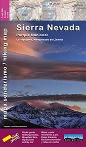
- Sierra Nevada - the Alpujarra - Marquesado del Zenete Editorial Penibetica Map and Guide
- Sierra Nevada in Spain on a contoured, GPS compatible map at 1:40,000 from Editorial Penibetica, double-sided to provide coverage of its main trekking area on one map. Accompanying English language booklet provides descriptions of over 40 walks, details of campsites and huts, etc.The map covers Alpujarras and Marquesado del Zenete, the western... Read more
- Also available from:
- De Zwerver, Netherlands
Stanfords
United Kingdom
United Kingdom
- Bachimala - Valles de Chistau y Bielsa Editorial Alpina
- Bachimala area of the High Pyrenees in Spain on a contoured and GPS compatible map at 1:25,000 from Editorial Alpina, with a booklet including English language descriptions of recommended walks, extensive accommodation list, etc. With the peak of Gran Bachimala towards the north-eastern corner of the map, coverage extends west to Bielsa and... Read more

Stanfords
United Kingdom
United Kingdom
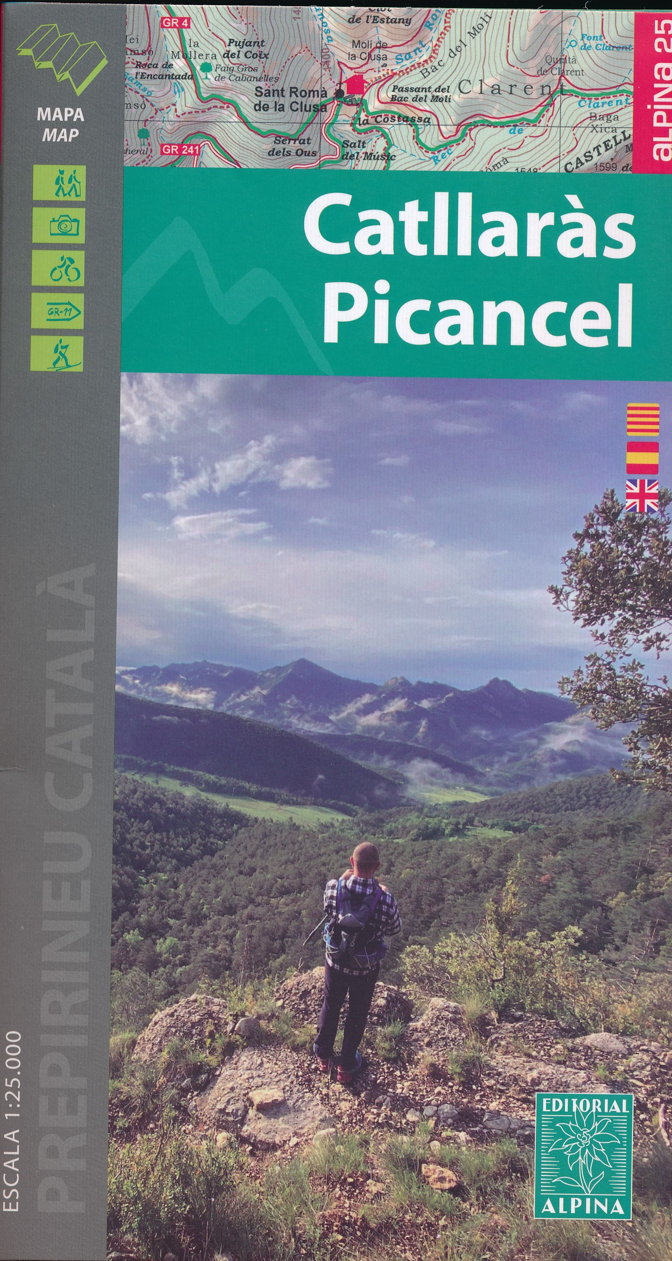
- Catllaràs - Picancel Editorial Alpina
- Catllaràs Picancel in an extensive and very popular series of walking maps from Editorial Alpina covering the Pyrenees, Catalonia and other selected hiking areas in Spain, including Picos de Europa, Sierra Nevada and parts of Andalucía, Majorca, etc. Scales vary from 1:50,000 to 1:10,000, with the majority of the titles at 1:25,000. The maps... Read more
- Also available from:
- De Zwerver, Netherlands
De Zwerver
Netherlands
Netherlands
- Wandelkaart 39 Catllaràs Picancel | Editorial Alpina
- Catllaràs Picancel in an extensive and very popular series of walking maps from Editorial Alpina covering the Pyrenees, Catalonia and other selected hiking areas in Spain, including Picos de Europa, Sierra Nevada and parts of Andalucía, Majorca, etc. Scales vary from 1:50,000 to 1:10,000, with the majority of the titles at 1:25,000. The maps... Read more

Stanfords
United Kingdom
United Kingdom
- Vall de Barravés - Ribagorça Editorial Alpina
- Val de Barravés - Ribagorça at 1:25,000 in an extensive and very popular series of walking maps from Editorial Alpina covering the Pyrenees, Catalonia and other selected hiking areas in Spain, including Picos de Europa, Sierra Nevada and parts of Andalucía, Majorca, etc.Scales of maps in this series vary from 1:50,000 to 1:10,000, with the... Read more

Stanfords
United Kingdom
United Kingdom
- GR 240: Tour of the Sierra Nevada (Sendero Sulayr)
- A tour around the Sierra Nevada presented in an English language guide from Editorial Penibética, with contoured mapping at 1:40,000, detailed descriptions of each stage, route profiles, numerous colour photographs, etc.The guide divides the route into 19 stages of between 2h 30’ and 7h 30’, covering it in an anti-clockwise direction starting... Read more

Stanfords
United Kingdom
United Kingdom
- Sierra Nevada - the Traverse at 3000m Editorial Piolet Hiking Map
- Sierra Nevada: The Traverse at 3000m Altitude map at 1:25,000 in a series of GPS compatible maps from Editorial Piolet with cartography based on Spain’s civilian topographic survey overprinted with hiking routes and other tourist information. The map highlights the course of “La Integral de los 3000” route across the highest part of the Sierra... Read more

Stanfords
United Kingdom
United Kingdom
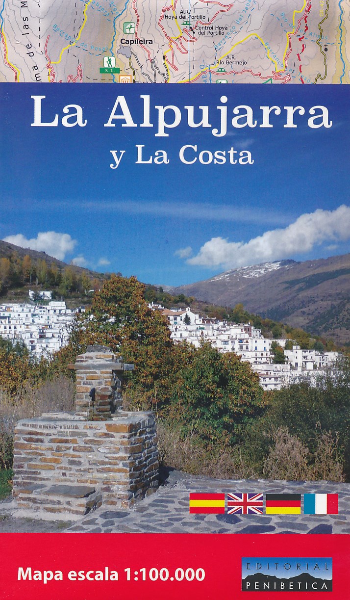
- La Alpujarra and La Costa Editorial Penibetica
- The Alpujarra region of Andalucía on an indexed, contoured map at 1:100,000 from Editorial Penibetica, extending from the coast between Motril and Roquetas de Mar across southern slopes of the Sierra Nevada to its peaks including Mulhacén. On the reverse are multilingual descriptions and photos of various places of interest.Coverage extends... Read more
- Also available from:
- De Zwerver, Netherlands
De Zwerver
Netherlands
Netherlands
- Wegenkaart - landkaart - Wandelkaart La Alpujarra y la Costa - Alpujarras | Editorial Penibetica
- The Alpujarra region of Andalucía on an indexed, contoured map at 1:100,000 from Editorial Penibetica, extending from the coast between Motril and Roquetas de Mar across southern slopes of the Sierra Nevada to its peaks including Mulhacén. On the reverse are multilingual descriptions and photos of various places of interest.Coverage extends... Read more

Stanfords
United Kingdom
United Kingdom
- Val d`Aran by UTMB Editorial Alpina Trail running race Map
- Val d`Aran in an extensive and very popular series of walking maps from Editorial Alpina covering the Pyrenees, Catalonia and other selected hiking areas in Spain, including Picos de Europa, Sierra Nevada and parts of Andalucía, Majorca, etc. Scales vary from 1:50,000 to 1:10,000, with the majority of the titles at 1:25,000. The maps have... Read more

Stanfords
United Kingdom
United Kingdom
- Andalucía East: Granada - Almería - Murcia 500K CNIG Regional Map No. 12
- The eastern part of Andalucía with Granada and Sierra Nevada, extending along the Mediterranean coast from Velez-Malága to Cartagena and Mar Menor, at 1:500,000 in a series of regional road maps from the country’s civilian survey organization IGN-CNIG (Instituto Geográfico Nacional - Centro Nacional de Información Geográfica), vividly... Read more
Stanfords
United Kingdom
United Kingdom
- Sant Llorenc del Munt i l`Obac Editorial Alpina
- Sant Llorenç del Munt i l`Obac area at 1:25,000 in an extensive and very popular series of walking maps from Editorial Alpina. Contours are at 10m intervals, enhanced by relief shading and vegetation colouring. The map has UTM grid and 1’ margin ticks. In addition to footpaths, the overprint shows various types of accommodation (hotels,... Read more
Stanfords
United Kingdom
United Kingdom
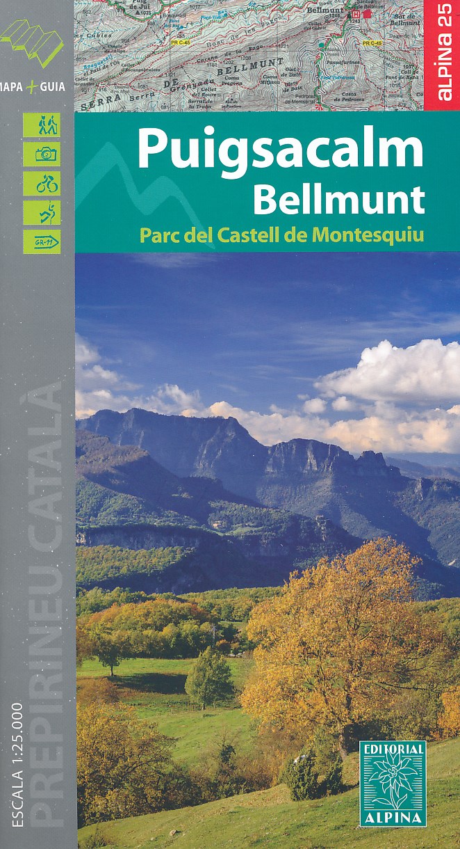
- Puigsacalm - Bellmunt Editorial Alpina
- Puigsacalm - Bellmunt in an extensive and very popular series of walking maps from Editorial Alpina covering the Pyrenees, Catalonia and other selected hiking areas in Spain, including Picos de Europa, Sierra Nevada and parts of Andalucía, Majorca, etc. Scales vary from 1:50,000 to 1:10,000, with the majority of the titles at 1:25,000. The maps... Read more
- Also available from:
- De Zwerver, Netherlands
De Zwerver
Netherlands
Netherlands
- Wandelkaart 45 Puigsacalm Bellmunt | Editorial Alpina
- Zeer gedetailleerde wandelkaart van een klein deel van de Spaanse Pyreneeen. Met ingetekende wandelroutes en andere informatie. Uitstekende kaart. Met symbolen voor campings, hutten. Op de topografische wandelkaart worden o.a. berghutten, campings aangeduid en hoogtelijnen, ingetekende wandelroutes en de GR paden (doorgaande... Read more

Stanfords
United Kingdom
United Kingdom
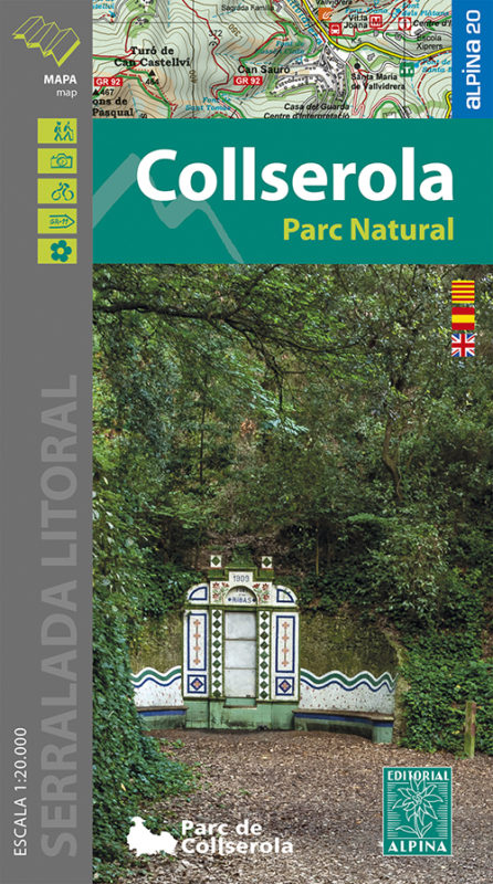
- Collserola Parc Natural Editorial Alpina
- Collserola Natural Park in an extensive and very popular series of walking maps from Editorial Alpina covering the Pyrenees, Catalonia and other selected hiking areas in Spain, including Picos de Europa, Sierra Nevada and parts of Andalucía, Majorca, etc. Scales vary from 1:50,000 to 1:10,000, with the majority of the titles at 1:25,000. The... Read more
- Also available from:
- De Zwerver, Netherlands
De Zwerver
Netherlands
Netherlands
- Wandelkaart 61 Serra de Collserola | Editorial Alpina
- Collserola Natural Park in an extensive and very popular series of walking maps from Editorial Alpina covering the Pyrenees, Catalonia and other selected hiking areas in Spain, including Picos de Europa, Sierra Nevada and parts of Andalucía, Majorca, etc. Scales vary from 1:50,000 to 1:10,000, with the majority of the titles at 1:25,000. The... Read more
Stanfords
United Kingdom
United Kingdom
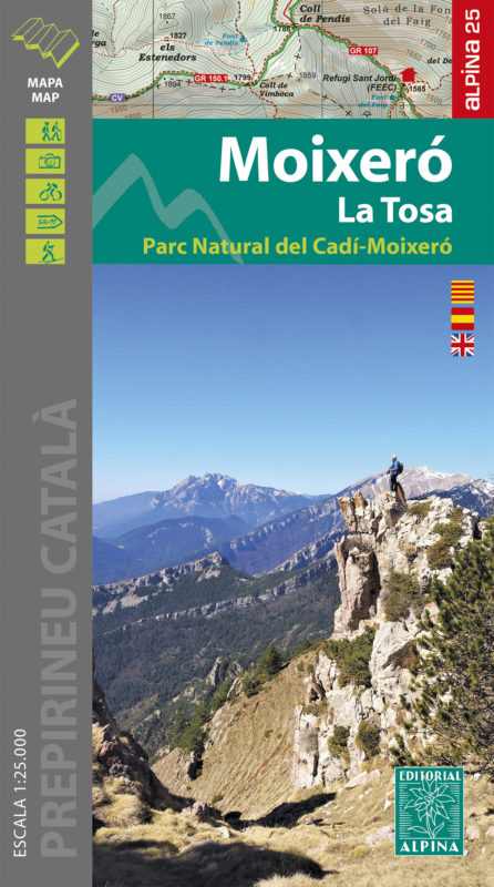
- Moixeró - La Tosa - Cadí-Moixeró Natural Park Editorial Alpina
- Moixeró - La Tosa in an extensive and very popular series of walking maps from Editorial Alpina covering the Pyrenees, Catalonia and other selected hiking areas in Spain, including Picos de Europa, Sierra Nevada and parts of Andalucía, Majorca, etc. Scales vary from 1:50,000 to 1:10,000, with the majority of the titles at 1:25,000. The maps... Read more
- Also available from:
- De Zwerver, Netherlands

Stanfords
United Kingdom
United Kingdom
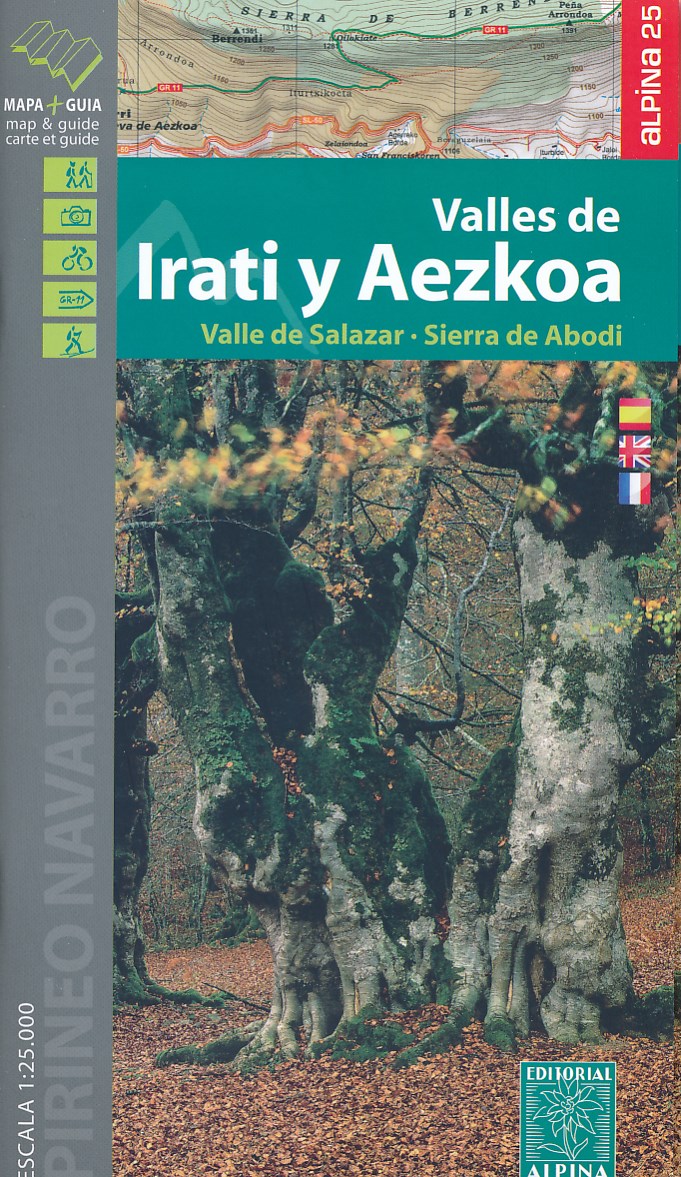
- Valles de Irati y Aezkoa Editorial Alpina
- Valles de Irati & Aezkoa in an extensive and very popular series of walking maps from Editorial Alpina covering the Pyrenees, Catalonia and other selected hiking areas in Spain, including Picos de Europa, Sierra Nevada and parts of Andalucía, Majorca, etc. Scales vary from 1:50,000 to 1:10,000, with the majority of the titles at 1:25,000. The... Read more
- Also available from:
- De Zwerver, Netherlands
De Zwerver
Netherlands
Netherlands
- Wandelkaart 01 Mapa de los Valles de Irati - Aezkoa (Roncesvalles) | Editorial Alpina
- Valles de Irati & Aezkoa in an extensive and very popular series of walking maps from Editorial Alpina covering the Pyrenees, Catalonia and other selected hiking areas in Spain, including Picos de Europa, Sierra Nevada and parts of Andalucía, Majorca, etc. Scales vary from 1:50,000 to 1:10,000, with the majority of the titles at 1:25,000. The... Read more

Stanfords
United Kingdom
United Kingdom
- Montseny NP - Turo de l`Home - Les Agudas - Matagalls - la Calma Editorial Alpina 2-Map Set
- Montseny in an extensive and very popular series of walking maps from Editorial Alpina covering the Pyrenees, Catalonia and other selected hiking areas in Spain, including Picos de Europa, Sierra Nevada and parts of Andalucía, Majorca, etc. Scales vary from 1:50,000 to 1:10,000, with the majority of the titles at 1:25,000. The maps have... Read more
- Also available from:
- De Zwerver, Netherlands

De Zwerver
Netherlands
Netherlands
- Wandelkaart 55 Montseny Parc Natural | Editorial Alpina
- Montseny in an extensive and very popular series of walking maps from Editorial Alpina covering the Pyrenees, Catalonia and other selected hiking areas in Spain, including Picos de Europa, Sierra Nevada and parts of Andalucía, Majorca, etc. Scales vary from 1:50,000 to 1:10,000, with the majority of the titles at 1:25,000. The maps have... Read more