
Breithorn
Description
- Height 3780.00 m

Links
Facts
Reports
Guides and maps
Lodging
Organisations
Tour operators
GPS
Other
Books

The Book Depository
United Kingdom
2019
United Kingdom
2019
- Walkers's Haute Route: Chamonix to Zermatt
- The epic journey between Mont Blanc and the Matterhorn Read more
- Also available from:
- De Zwerver, Netherlands

De Zwerver
Netherlands
2019
Netherlands
2019
- Wandelgids Walker's Haute Route: Chamonix to Zermatt | Knife Edge Outdoor
- The epic journey between Mont Blanc and the Matterhorn Read more
Bol.com
Netherlands
2015
Netherlands
2015
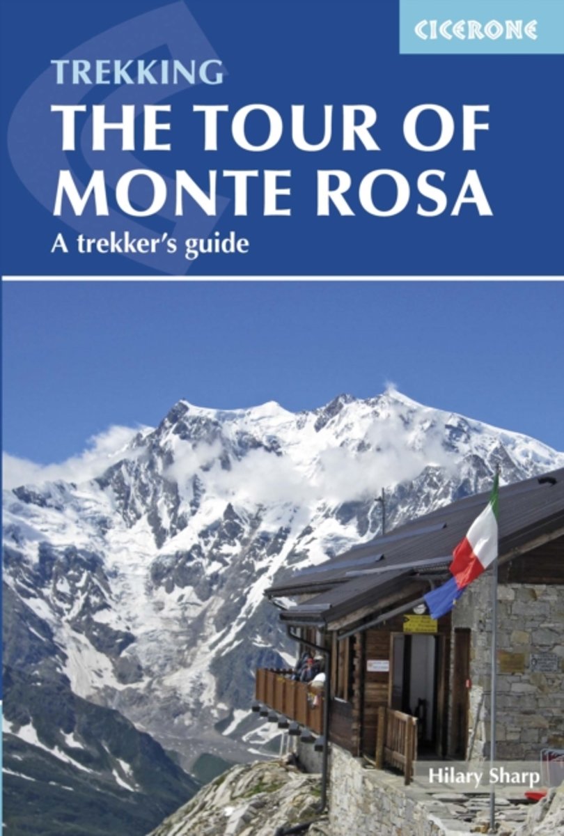
- Tour of Monte Rosa
- The 134km Tour of Monte Rosa is a challenging and very varied trek that takes a high route around the massif, in a circuit that begins and ends in Zermatt. The trek is described in eight stages, but these are not necessarily one-day stages, and some will be more comfortably achieved over two days or more. Realistically you should allow 9-10... Read more
- Also available from:
- Bol.com, Belgium
Bol.com
Belgium
2015
Belgium
2015
- Tour of Monte Rosa
- The 134km Tour of Monte Rosa is a challenging and very varied trek that takes a high route around the massif, in a circuit that begins and ends in Zermatt. The trek is described in eight stages, but these are not necessarily one-day stages, and some will be more comfortably achieved over two days or more. Realistically you should allow 9-10... Read more
Bol.com
Netherlands
Netherlands
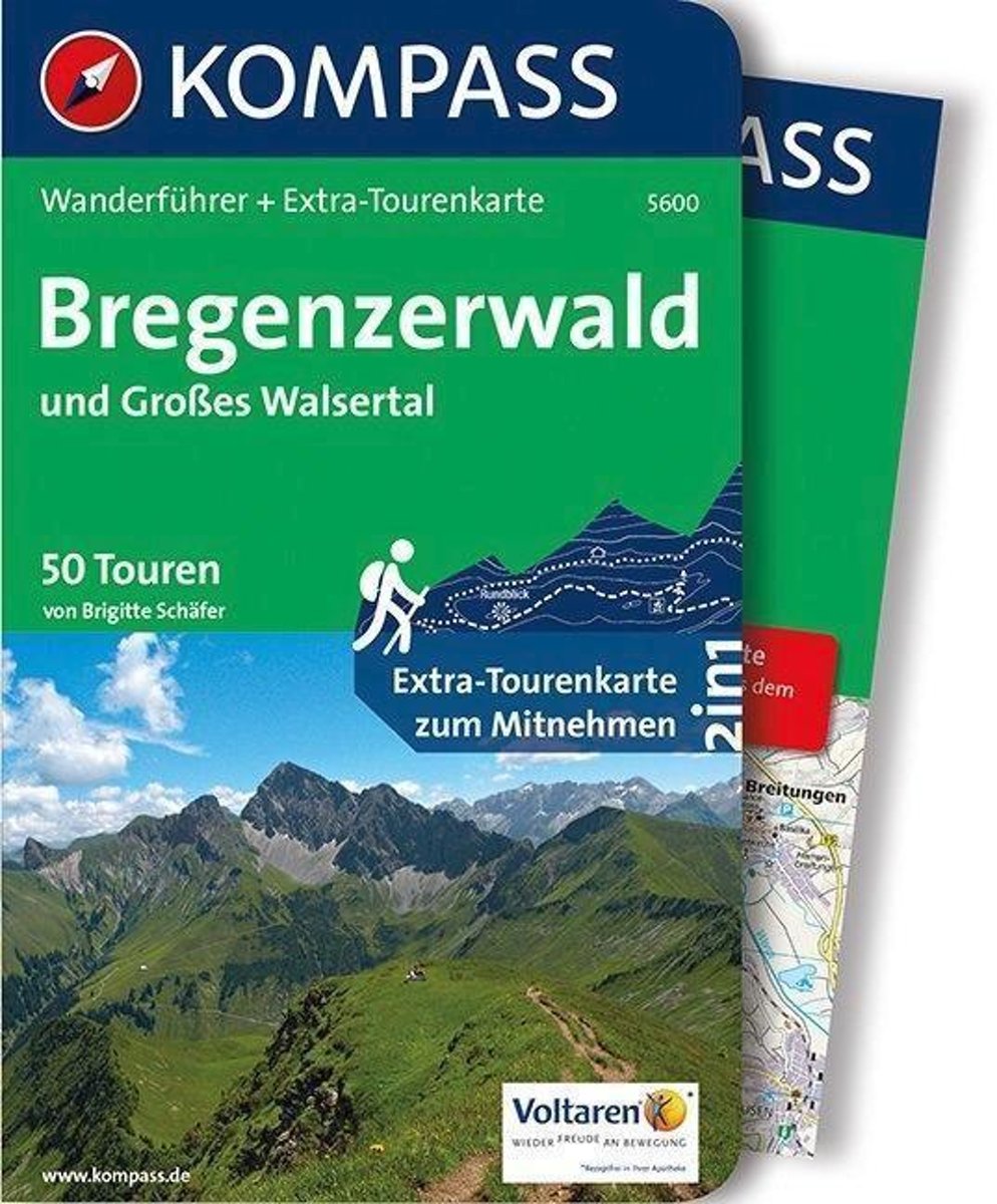
- WF 5600 Bregenzerwald • Groot Walsertal Kompass
- Destination:. Der Bregenzerwald erstreckt sich vom östlichen Hinterland des Bodensees bis zum Hochtannbergpass. . Charakteristische Bregenzerwald-Häuser mit geschindelten Fassaden, kleinen Fenstern und dem typischen''Schopf''. Pflege alter Traditionen und Handwerkskunst.. Großes Walsertal: Von der Unesco als ''Biosphärenpark'' ausgezeichnet,... Read more
- Also available from:
- Bol.com, Belgium
Bol.com
Belgium
Belgium
- WF 5600 Bregenzerwald • Groot Walsertal Kompass
- Destination:. Der Bregenzerwald erstreckt sich vom östlichen Hinterland des Bodensees bis zum Hochtannbergpass. . Charakteristische Bregenzerwald-Häuser mit geschindelten Fassaden, kleinen Fenstern und dem typischen''Schopf''. Pflege alter Traditionen und Handwerkskunst.. Großes Walsertal: Von der Unesco als ''Biosphärenpark'' ausgezeichnet,... Read more
Bol.com
Netherlands
Netherlands
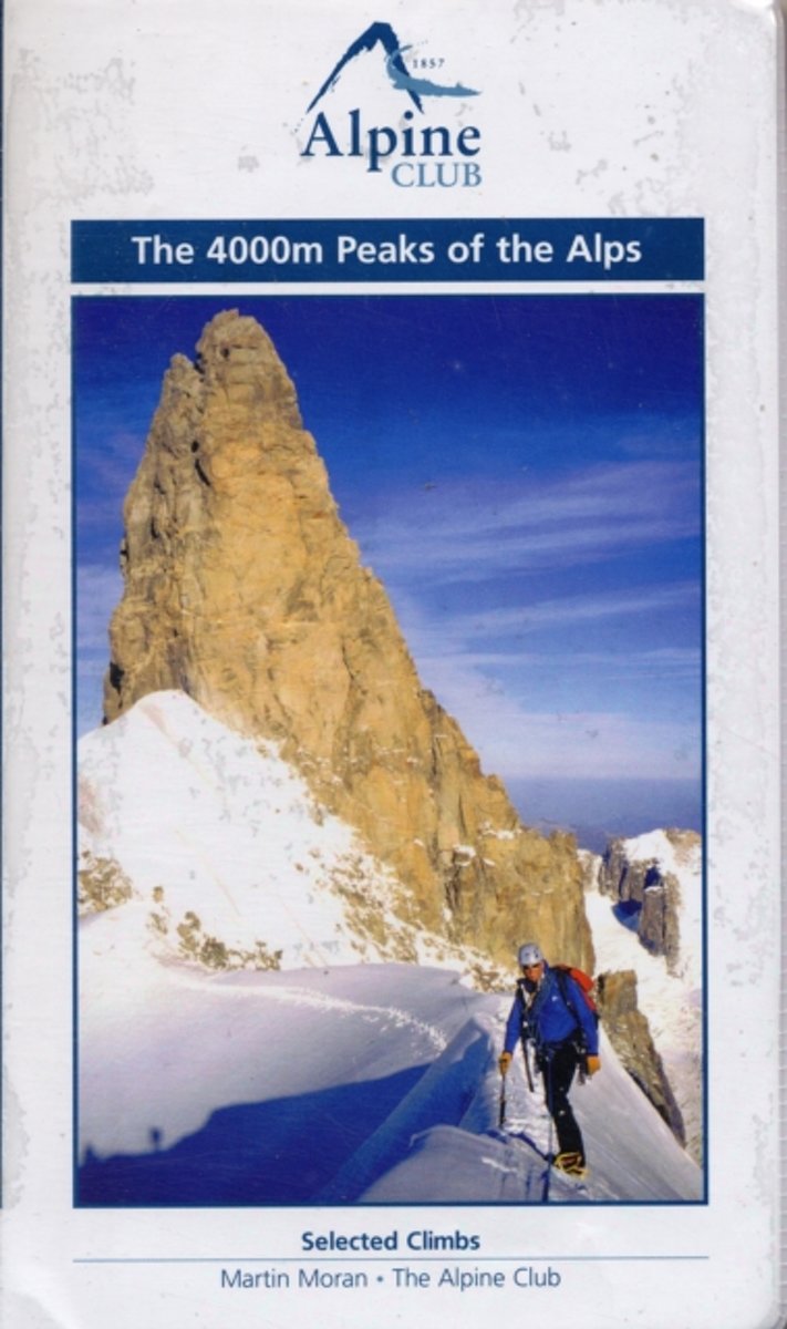
- The 4000m Peaks of the Alps - Selected Climbs
- The 4000m Peaks of the Alps provides a practical companion guide to the Alpine 4000ers with detailed description of every worthwhile route from Facile (F) to Difficile (sup) (D+/TD-). As well as the 50 major mountains, every significant subsidiary top is visited by one or more route. In total over 230 routes are described, ranging from... Read more
- Also available from:
- Bol.com, Belgium
Bol.com
Belgium
Belgium
- The 4000m Peaks of the Alps - Selected Climbs
- The 4000m Peaks of the Alps provides a practical companion guide to the Alpine 4000ers with detailed description of every worthwhile route from Facile (F) to Difficile (sup) (D+/TD-). As well as the 50 major mountains, every significant subsidiary top is visited by one or more route. In total over 230 routes are described, ranging from... Read more
Maps
De Zwerver
Netherlands
Netherlands
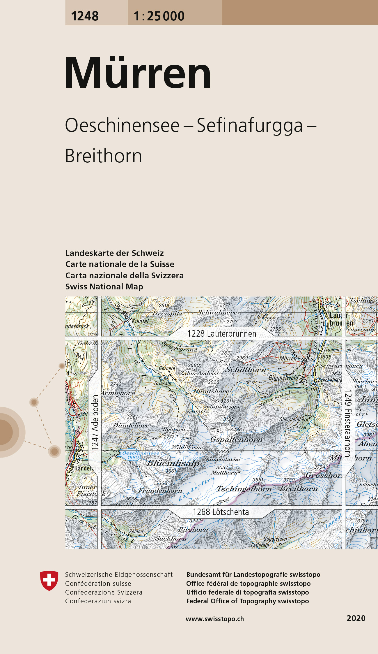
- Wandelkaart - Topografische kaart 1248 Mürren | Swisstopo
- Zeer gedetailleerde wandelkaart van een deel van Zwitserland. De topografische details van deze kaarten zijn onovertroffen; de werkelijkheid is perfect weergegeven op deze kaart van uitzonderlijk hoog niveau. Ze zijn geschikt voor alle soorten gebruik: voor eenvoudige wandeltochten in simpel terrein tot zware bergtochten en beklimmingen van de... Read more
De Zwerver
Netherlands
Netherlands
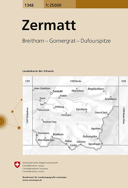
- Wandelkaart - Topografische kaart 1348 Zermatt | Swisstopo
- Map No. 1348, Zermatt, in the topographic survey of Switzerland at 1:25,000 from Bundesamt f Read more
De Zwerver
Netherlands
Netherlands
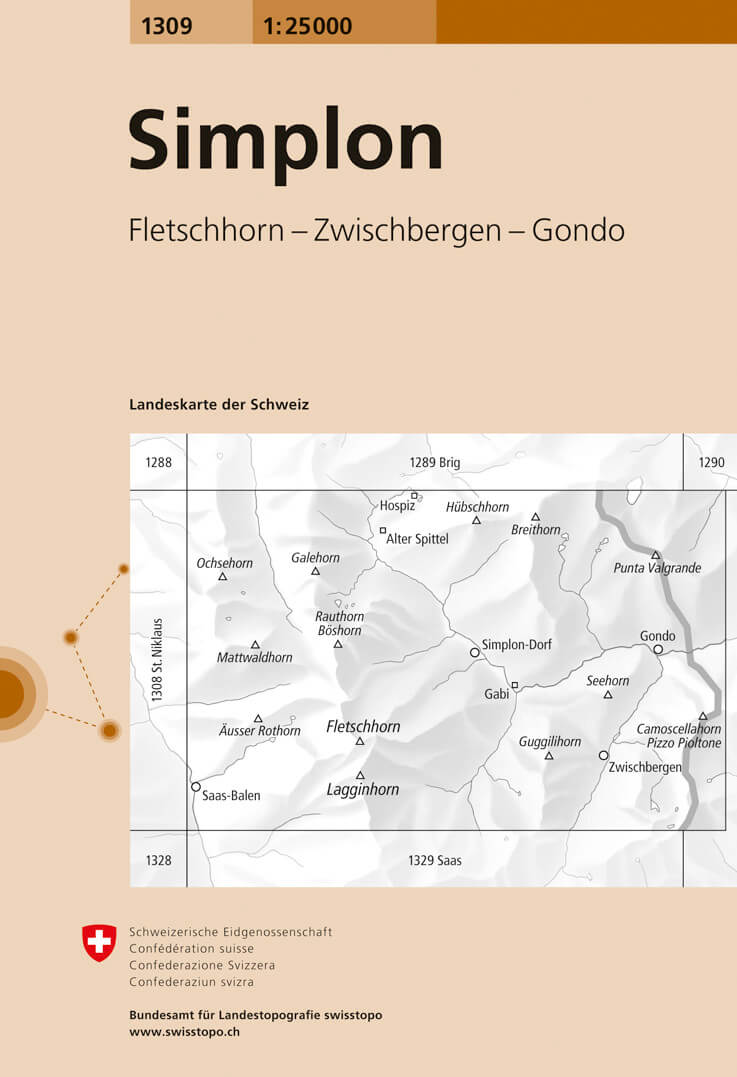
- Wandelkaart - Topografische kaart 1309 Simplon | Swisstopo
- Map No. 1309, Simplon, in the topographic survey of Switzerland at 1:25,000 from Bundesamt f Read more
De Zwerver
Netherlands
Netherlands
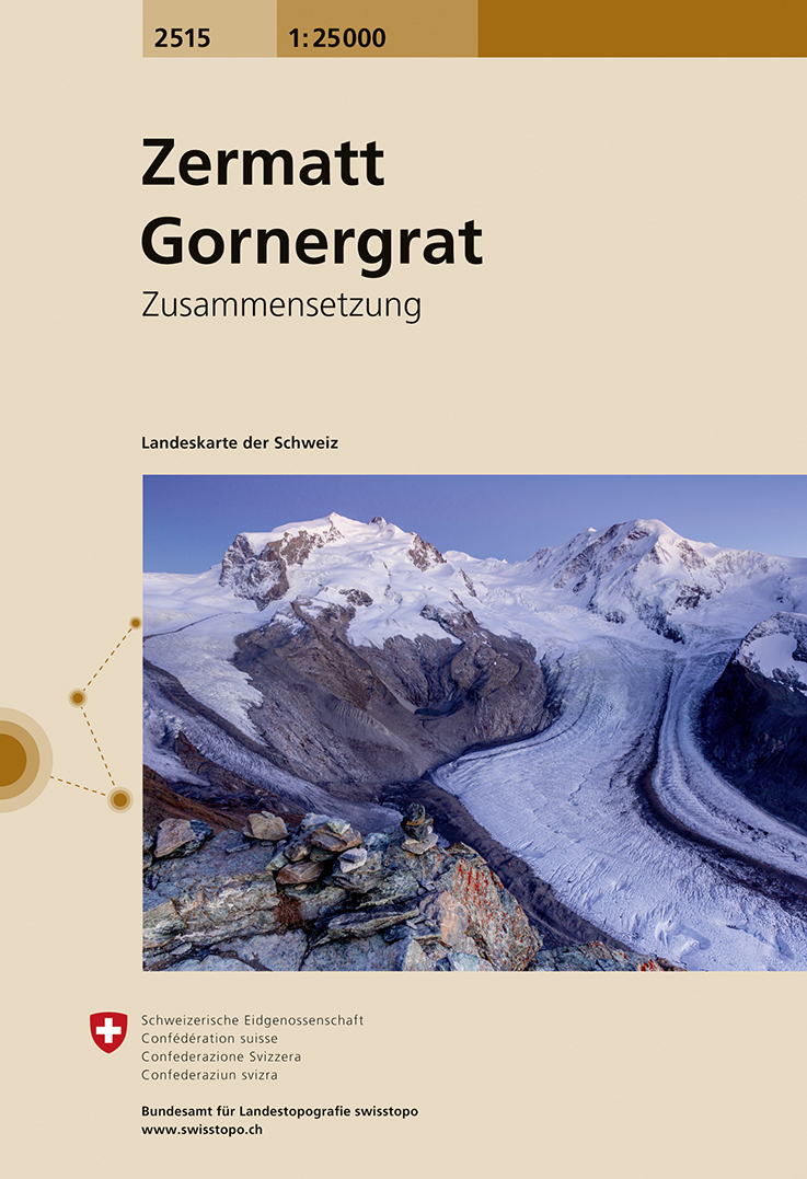
- Wandelkaart - Topografische kaart 2515 Zermatt - Gornergrat | Swisstopo
- Map No. 2515, Zermatt - Gornergrat, in the topographic survey of Switzerland at 1:25,000 from Swisstopo, covering the upper part of the Mattertal with T Read more
De Zwerver
Netherlands
Netherlands
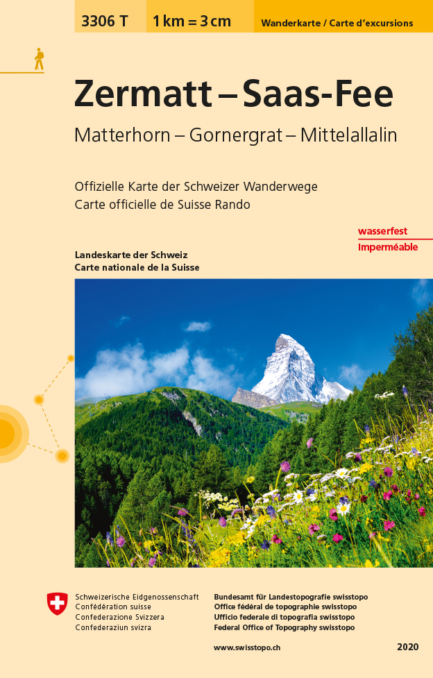
- Wandelkaart - Topografische kaart 3306T Zermatt - Saas - Fee | Swisstopo
- Een nieuwe serie van de Zwitserse topografische dienst: eindelijk goede wandelkaarten met ingetekende wandelroutes op scheur- en watervast papier. Vooralsnog zijn ze uitgebracht van de populaire wandelgebieden en niet landelijk dekkend (zie overzicht) Op een gedetailleerde schaal van 1:33.333 met als ondergrond de onovertroffen topografische... Read more