
Black Mountains
Description
These hills are located in Wales. They belong to the Brecon Beacons National Park, and the Beacons Way crosses them, as does Offa's Dyke Path.
Trails in this region
Links
Facts
Reports
Guides and maps
Lodging
Organisations
Tour operators
GPS
Other
Books

The Book Depository
United Kingdom
2019
United Kingdom
2019
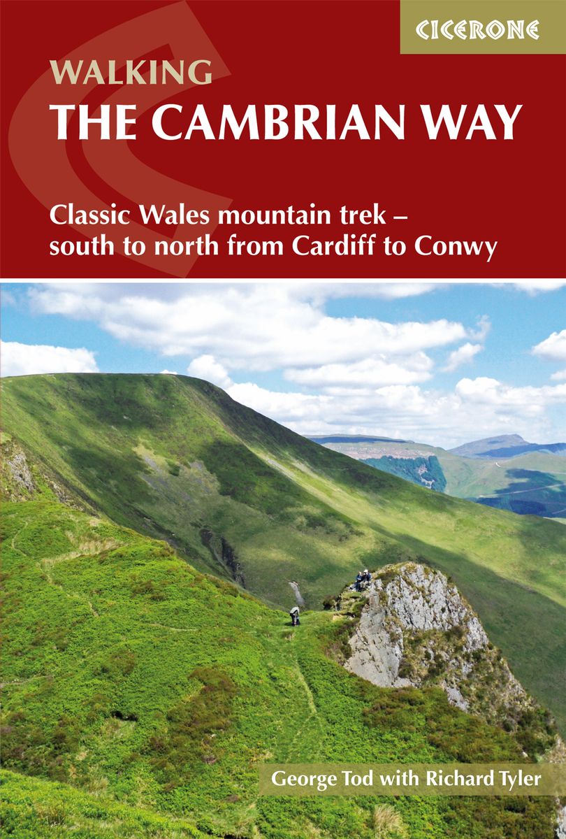
- The Cambrian Way
- Classic Wales mountain trek - south to north from Cardiff to Conwy Read more
- Also available from:
- De Zwerver, Netherlands
De Zwerver
Netherlands
2019
Netherlands
2019
- Wandelgids The Cambrian Way | Cicerone
- Guidebook to the Cambrian Way, a challenging three-week mountain trek through Wales from Cardiff to Conwy. The 470km unwaymarked route is presented from south to north. Often sticking to long, beautiful ridgelines, it crosses wild and rugged terrain and visits many of Wales's highest mountains, including Snowdon. Read more

- Also available from:
- De Zwerver, Netherlands

Stanfords
United Kingdom
United Kingdom
- Herefordshire and Wye Valley - Short Walks
- Herefordshire is renowned for its hop-yards and cider-apple orchards, threaded by peaceful footpaths, lanes and byroads amidst rich pastures and wooded limestone ridges grazed by the famous terracotta-coloured cattle. But the county also has a wild side; the huge sandstone wall of the Black Mountains rises in the west, the Forest of Dean and... Read more
- Also available from:
- The Book Depository, United Kingdom


The Book Depository
United Kingdom
United Kingdom

Stanfords
United Kingdom
2014
United Kingdom
2014
- The Mountains of England and Wales: Vol. 1 - Wales
- The Mountains of England and Wales - Volume 1 is John and Anne Nuttall’s Cicerone guide to walking the highest summits in the country. The guide describes the ascent of all 190 mountains in Wales and is a companion to the authors’ similar work on England. Each of the mountains are grouped by range, allowing walkers to easily find relevant and... Read more
- Also available from:
- The Book Depository, United Kingdom

The Book Depository
United Kingdom
2014
United Kingdom
2014
- The Mountains of England and Wales: Vol 1 Wales
- The Nuttalls are hills over 2000ft high in England and Wales. The 190 Nuttalls in Wales are split into: Carneddau, Glyders, Snowdon, Moel Hebog, Moelwyns, Arenigs, Berwyns, Arans, Rhinogs, Cadair Idris, central Wales, Black Mountains, Brecon Beacons. Definitive lists, detailed route descriptions, maps and drawings of Wales' highest peaks. Read more

The Book Depository
United Kingdom
United Kingdom
- Walks to South Wales' Lakes and Waterfalls
- Black Mountain, Brecon Beacons, the Black Mountains & the Vale of Neath Read more

Stanfords
United Kingdom
United Kingdom
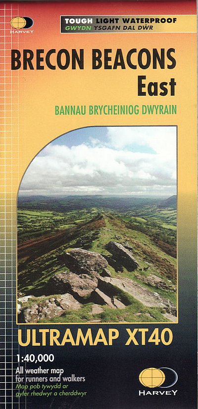
- Brecon Beacons Eastern OS Explorer Map OL13 (paper)
- The eastern part of the Brecon Beacons National Park on a detailed topographic and GPS compatible map OL13, paper version, from the Ordnance Survey’s 1:25,000 Explorer series. Coverage includes Tredegar, Ebbw Vale, Abergavenny, Hay-on-Wye, the Black Mountains, Llangorse Lake, Sugar Loaf, Black Hill, Hay Bluff, sections of the Offa’s Dyke... Read more
- Also available from:
- The Book Depository, United Kingdom
- De Zwerver, Netherlands


Stanfords
United Kingdom
2022
United Kingdom
2022
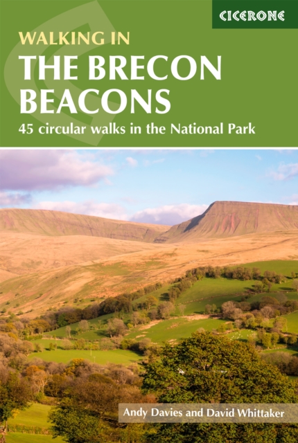
- Walking in the Brecon Beacons: 45 circular walks in the National Park
- Guidebook to 45 graded circular walks in the Brecon Beacons National Park, perfect for those wishing to discover the diversity of the region, away from the crowds. The routes range from 4 to 24km and cover the north-eastern, eastern and south-western valleys and ridges, Fforest Fawr, Waterfall Country, the Black Mountain (Mynydd Du) and the... Read more
- Also available from:
- The Book Depository, United Kingdom
- De Zwerver, Netherlands

The Book Depository
United Kingdom
2022
United Kingdom
2022
- Walking in the Brecon Beacons
- 45 circular walks in the National Park Read more
De Zwerver
Netherlands
2022
Netherlands
2022
- Wandelgids Walking on the Brecon Beacons | Cicerone
- Guidebook to 45 graded circular walks in the Brecon Beacons National Park, perfect for those wishing to discover the diversity of the region, away from the crowds. The routes range from 4 to 24km and cover the north-eastern, eastern and south-western valleys and ridges, Fforest Fawr, Waterfall Country, the Black Mountain (Mynydd Du) and the... Read more

Stanfords
United Kingdom
United Kingdom
- Brecon Beacons Eastern OS Explorer Active Map OL13 (waterproof)
- The eastern part of the Brecon Beacons National Park on a detailed topographic and GPS compatible map OL13, waterproof version, from the Ordnance Survey’s 1:25,000 Explorer series. Coverage includes Tredegar, Ebbw Vale, Abergavenny, Hay-on-Wye, the Black Mountains, Llangorse Lake, Sugar Loaf, Black Hill, Hay Bluff, sections of the Offa’s Dyke... Read more
- Also available from:
- The Book Depository, United Kingdom

The Book Depository
United Kingdom
United Kingdom


Stanfords
United Kingdom
2019
United Kingdom
2019
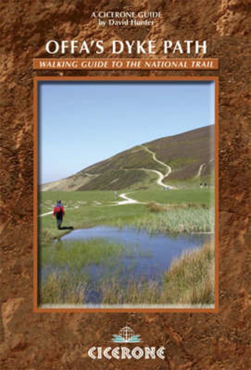
- Offa`s Dyke Path: Prestatyn To Chepstow
- The Offa`s Dyke Path is a magnificent National Trail that runs from the North Wales coast to the Severn Estuary following the line of Offa`s Dyke, an impressive 8th century earthwork along the English/Welsh border. The ever-changing landscape - the Wye Valley, the Black Mountains, the Shropshire Hills and the Clwydian Hills - is steeped in... Read more
- Also available from:
- The Book Depository, United Kingdom

The Book Depository
United Kingdom
2019
United Kingdom
2019
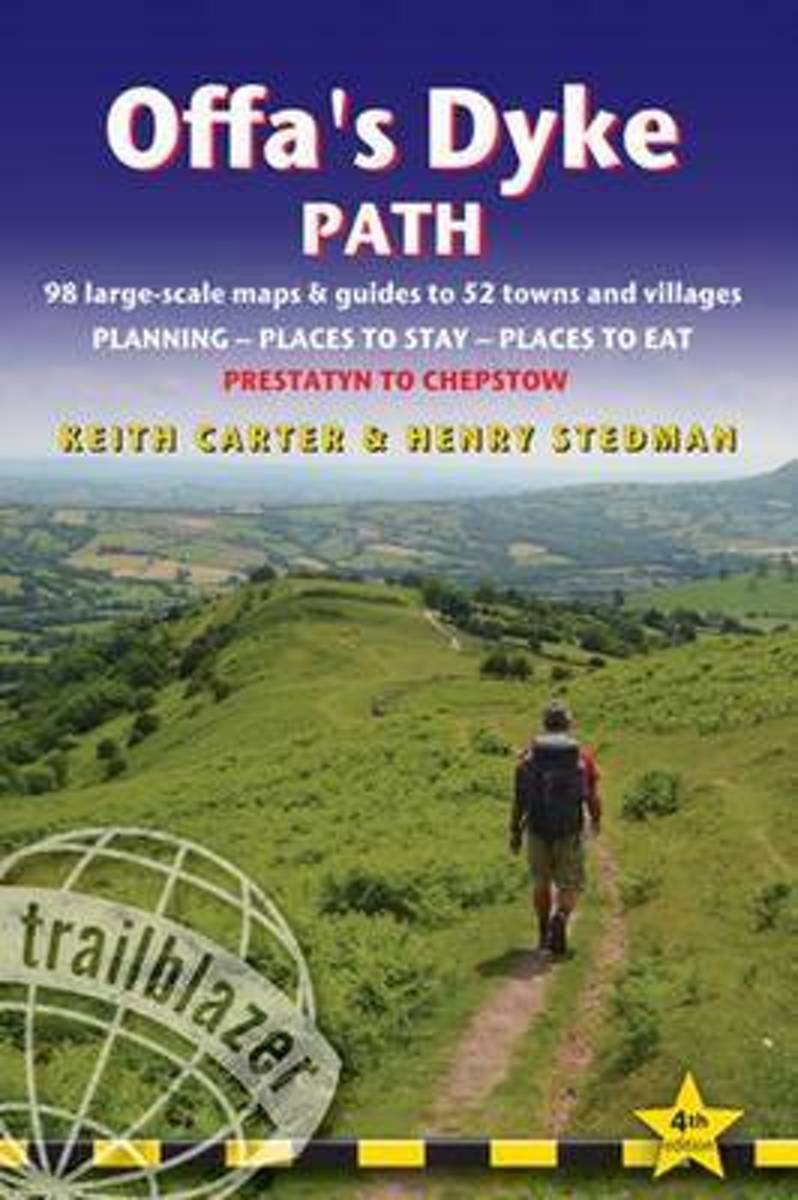
- Offa's Dyke Path (Trailblazer British Walking Guides) 2019
- Chepstow To Prestatyn & Prestatyn To Chepstow, Planning, Places to Stay, Places to Eat, 98 large-scale maps & guides to 52 towns and villages (Trailblazer British Walking Guides) Read more

Bol.com
Netherlands
Netherlands
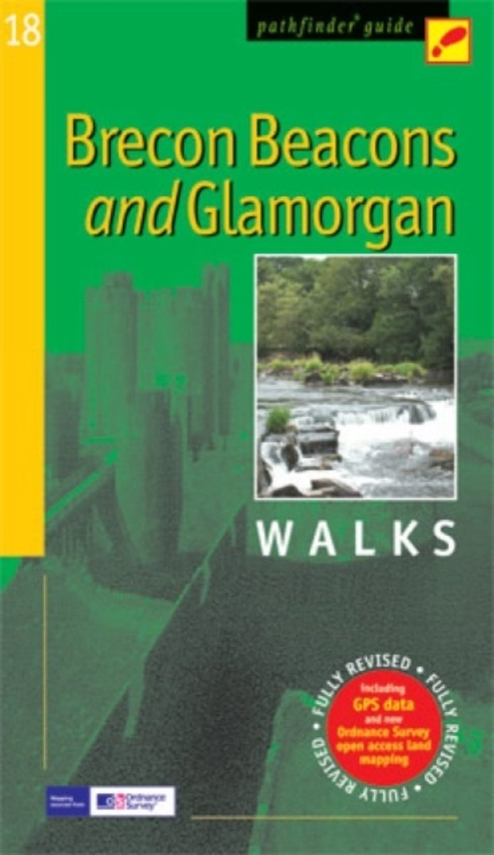
- Brecon Beacons & Glamorgan
- Within the boundaries of the Brecon Beacons National Park there are four separate mountain ranges, including the Black Mountains as well as the Beacons themselves. Most of the area is underlain by old red sandstone, which distinguishes it from the more rugged mountains of North Wales, and several walks explore this terrain of smooth, sweeping... Read more
- Also available from:
- Bol.com, Belgium
Bol.com
Belgium
Belgium
- Brecon Beacons & Glamorgan
- Within the boundaries of the Brecon Beacons National Park there are four separate mountain ranges, including the Black Mountains as well as the Beacons themselves. Most of the area is underlain by old red sandstone, which distinguishes it from the more rugged mountains of North Wales, and several walks explore this terrain of smooth, sweeping... Read more
Bol.com
Netherlands
2013
Netherlands
2013
- Offa's Dyke Path
- The Offas Dyke Path, a 177 mile National Trail, runs along the England / Wales border between Chepstow and Prestatyn. The main route is described in this guide in 15 stages, as are alternative routes which visit places of interest or detour to accommodation, as well as planning information to create flexible itineraries. The route - fully... Read more
- Also available from:
- Bol.com, Belgium
Bol.com
Belgium
2013
Belgium
2013
- Offa's Dyke Path
- The Offas Dyke Path, a 177 mile National Trail, runs along the England / Wales border between Chepstow and Prestatyn. The main route is described in this guide in 15 stages, as are alternative routes which visit places of interest or detour to accommodation, as well as planning information to create flexible itineraries. The route - fully... Read more
Bol.com
Netherlands
2015
Netherlands
2015
- Offa's Dyke Path
- The Offa's Dyke Path is a magnificent National Trail that runs from the North Wales coast to the Severn Estuary following the line of Offa's Dyke, an impressive 8th century earthwork along the English/Welsh border. The ever-changing landscape - the Wye Valley, the Black Mountains, the Shropshire Hills and the Clwydian Hills - is steeped in... Read more
- Also available from:
- Bol.com, Belgium
Bol.com
Belgium
2015
Belgium
2015
- Offa's Dyke Path
- The Offa's Dyke Path is a magnificent National Trail that runs from the North Wales coast to the Severn Estuary following the line of Offa's Dyke, an impressive 8th century earthwork along the English/Welsh border. The ever-changing landscape - the Wye Valley, the Black Mountains, the Shropshire Hills and the Clwydian Hills - is steeped in... Read more
Maps

The Book Depository
United Kingdom
United Kingdom
- West and Central Brecon Beacons
- West and Central Brecon Beacons at 1:25,000 in a series of Walker Read more

- Also available from:
- De Zwerver, Netherlands


The Book Depository
United Kingdom
United Kingdom
- Walkers Map Brecon and The Black Mountains
- Brecon and The Black Mountains at 1:25,000 in a series of Walker Read more

Bol.com
Netherlands
Netherlands
- Offa's Dyke Path South
- Wandelkaart van het Zuidelijk deel van Offa's Dyke Path met uitsnedes van de route. Offa's Dyke Path is a National Trail. It runs along the border between Wales and England. Offa was a famous king of Mercia from 757 to 796, ruling an area stretching across a large part of England. Offa's Dyke Path runs from sea to sea - the Severn... Read more
- Also available from:
- Bol.com, Belgium
Bol.com
Belgium
Belgium
- Offa's Dyke Path South
- Wandelkaart van het Zuidelijk deel van Offa's Dyke Path met uitsnedes van de route. Offa's Dyke Path is a National Trail. It runs along the border between Wales and England. Offa was a famous king of Mercia from 757 to 796, ruling an area stretching across a large part of England. Offa's Dyke Path runs from sea to sea - the Severn... Read more

Bol.com
Netherlands
Netherlands
- Wales Mountain Biking
- Wales Mountain Biking is the 12th title in Vertebrate Publishing's bestselling series of UK mountain biking guidebooks. This book showcases 20 routes in Wales, between 12km and 50km in length, suitable for all levels of mountain bikers. Split into three sections, South Wales, Mid Wales and North Wales, this book includes classic loops in the... Read more
- Also available from:
- Bol.com, Belgium
Bol.com
Belgium
Belgium
- Wales Mountain Biking
- Wales Mountain Biking is the 12th title in Vertebrate Publishing's bestselling series of UK mountain biking guidebooks. This book showcases 20 routes in Wales, between 12km and 50km in length, suitable for all levels of mountain bikers. Split into three sections, South Wales, Mid Wales and North Wales, this book includes classic loops in the... Read more

The Book Depository
United Kingdom
United Kingdom
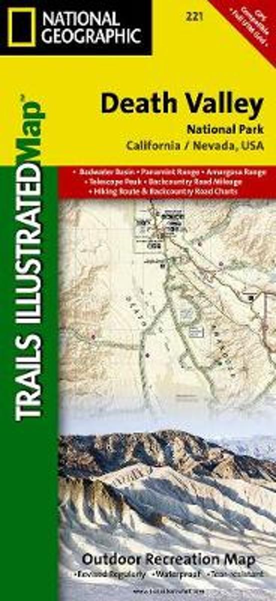
- Death Valley National Park
- Trails Illustrated National Parks Read more
- Also available from:
- Bol.com, Netherlands
- Bol.com, Belgium
- De Zwerver, Netherlands
Bol.com
Netherlands
Netherlands
- Death Valley National Park
- Waterproof Tear-Resistant Topographic MapDespite its foreboding name and the fact that it is the hottest, lowest, and driest area in North America, Death Valley National Park maintains a great diversity of life in its dramatic terrain of salt-flats, canyons, mountains, valleys, sand dunes, and badlands. National Geographic's Trails... Read more
Bol.com
Belgium
Belgium
- Death Valley National Park
- Waterproof Tear-Resistant Topographic MapDespite its foreboding name and the fact that it is the hottest, lowest, and driest area in North America, Death Valley National Park maintains a great diversity of life in its dramatic terrain of salt-flats, canyons, mountains, valleys, sand dunes, and badlands. National Geographic's Trails... Read more
De Zwerver
Netherlands
Netherlands
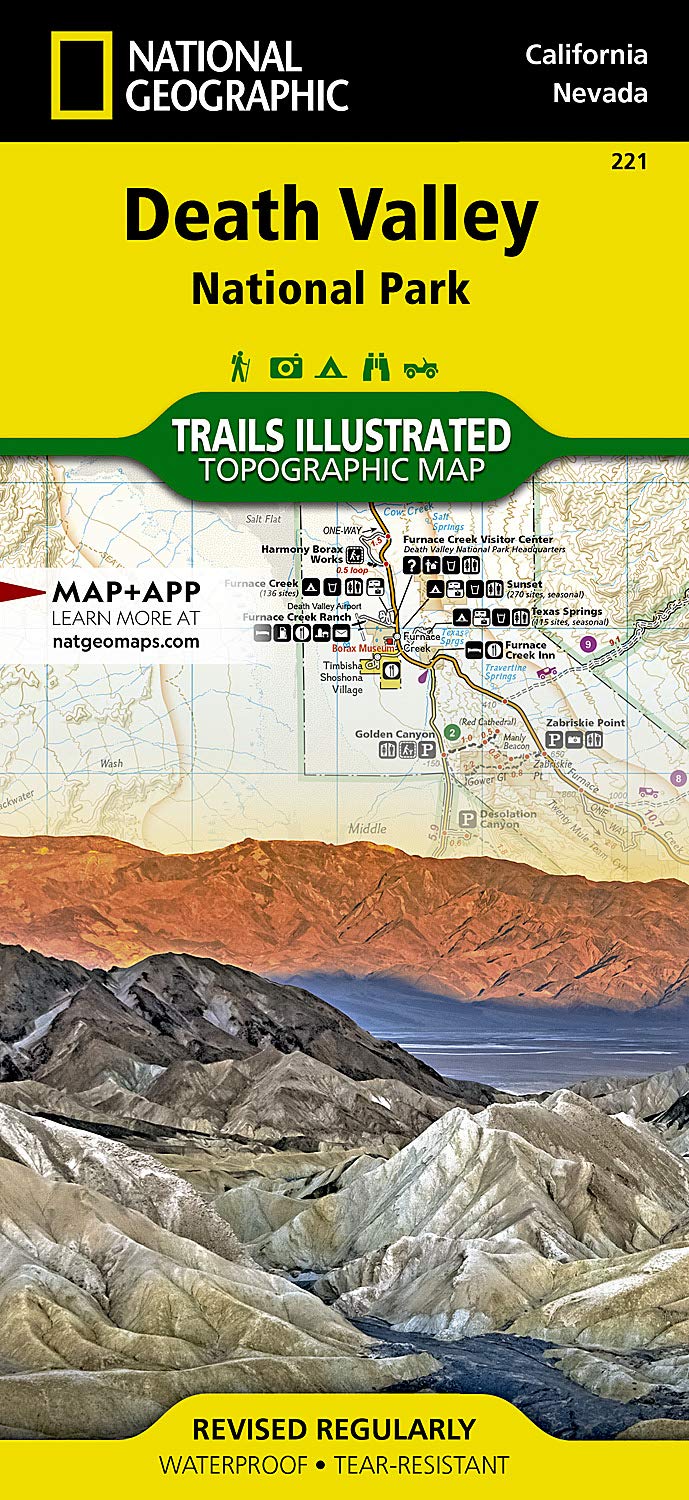
- Wandelkaart - Topografische kaart 221 Trails Illustrated Death Valley National Park | National Geographic
- Prachtige geplastificeerde kaart van het bekende nationaal park. Met alle recreatieve voorzieningen als campsites, maar ook met topografische details en wandelroutes ed. Door uitgekiend kleurgebruik zeer prettig in gebruik. Scheur en watervast! This Trails Illustrated topographic map for Death Valley National Park, which straddles the state... Read more