Brecon Beacons
Description
Mountain range in the south of Wales. Also, the name is used to refer to the Brecon Beacons National Park, which comprises a larger area and other hill ranges as well. Popular for hiking. Pen y Fan, south Wales highest mountain, is one of the popular destinations.
Trails in this region
Links
Facts
Reports
Guides and maps
Lodging
Organisations
Tour operators
GPS
Other
Books

The Book Depository
United Kingdom
United Kingdom
- A Boot Up the Brecon Beacons
- 10 Leisure Walks of Discovery Read more


- Also available from:
- De Zwerver, Netherlands

The Book Depository
United Kingdom
United Kingdom
- All Terrain Pushchair Walks Brecon Beacons
- A comprehensive and practical guide for families with all terrain pushchairs, wishing to enjoy the beauty of the Brecon Beacons. There are 30 graded routes tested and cosen for their five children. Incluses a range of high and low level walks, with lakes and mountains. Read more


Stanfords
United Kingdom
2022
United Kingdom
2022
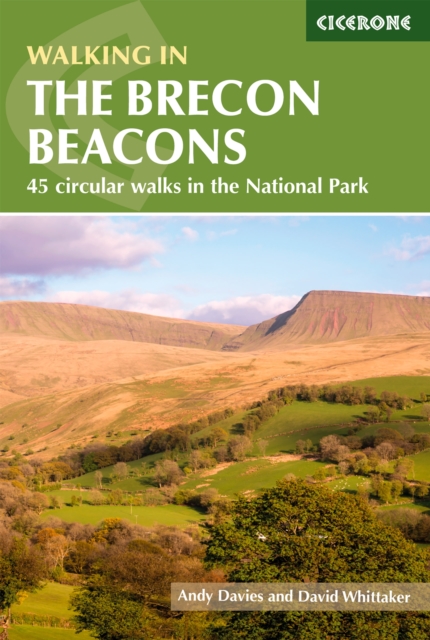
- Walking in the Brecon Beacons: 45 circular walks in the National Park
- Guidebook to 45 graded circular walks in the Brecon Beacons National Park, perfect for those wishing to discover the diversity of the region, away from the crowds. The routes range from 4 to 24km and cover the north-eastern, eastern and south-western valleys and ridges, Fforest Fawr, Waterfall Country, the Black Mountain (Mynydd Du) and the... Read more
- Also available from:
- The Book Depository, United Kingdom
- De Zwerver, Netherlands

The Book Depository
United Kingdom
2022
United Kingdom
2022
- Walking in the Brecon Beacons
- 45 circular walks in the National Park Read more
De Zwerver
Netherlands
2022
Netherlands
2022
- Wandelgids Walking on the Brecon Beacons | Cicerone
- Guidebook to 45 graded circular walks in the Brecon Beacons National Park, perfect for those wishing to discover the diversity of the region, away from the crowds. The routes range from 4 to 24km and cover the north-eastern, eastern and south-western valleys and ridges, Fforest Fawr, Waterfall Country, the Black Mountain (Mynydd Du) and the... Read more

Stanfords
United Kingdom
2016
United Kingdom
2016
- Brecon Beacons & Glamorgan Walks
- Pathfinder Brecon Beacons covering the Maen Madoc, Carn Goch and Carreg Cennen. This selection offers interest, regional variety and balance of routes in the Brecon Beacons providing the best walks in the area. From an easy stroll through Llangors Lake to the much more challenging walks in Waun Fach this volume contains something for everyone.... Read more
- Also available from:
- The Book Depository, United Kingdom
- De Zwerver, Netherlands

The Book Depository
United Kingdom
2016
United Kingdom
2016
- Brecon Beacons
- Pathfinder Brecon Beacons covering the Maen Madoc, Carn Goch and Carreg Cennen. This selection offers interest, regional variety and balance of routes in the Brecon Beacons providing the best walks in the area. From an easy stroll through Llangors Lake to the much more challenging walks in Waun Fach this volume contains something for everyone.... Read more
De Zwerver
Netherlands
2016
Netherlands
2016
- Wandelgids 18 Pathfinder Guides Brecon Beacons | Ordnance Survey
- Pathfinder Brecon Beacons covering the Maen Madoc, Carn Goch and Carreg Cennen. This selection offers interest, regional variety and balance of routes in the Brecon Beacons providing the best walks in the area. From an easy stroll through Llangors Lake to the much more challenging walks in Waun Fach this volume contains something for everyone.... Read more

Stanfords
United Kingdom
2022
United Kingdom
2022
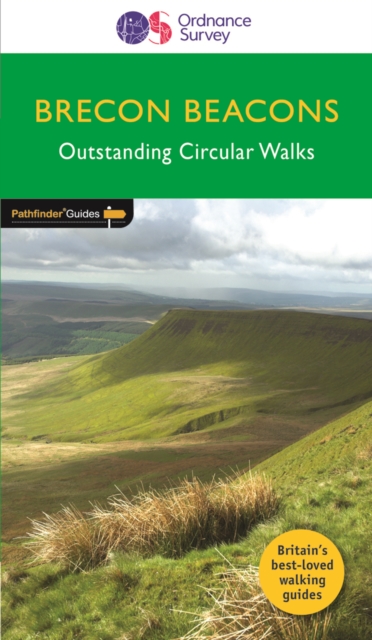
- Top 10 Walks in The Brecon Beacons
- This attractive guide gives walkers ten of the finest circular, themed walks in the Brecon Beacons National Park in a popular pocketable format. With clear information, an overview and introduction for each walk, expertly written numbered directions, large scale Ordnance Survey maps, superb eye-grabbing panoramic photographs, and interpretation... Read more
- Also available from:
- The Book Depository, United Kingdom
- De Zwerver, Netherlands

The Book Depository
United Kingdom
2022
United Kingdom
2022
- Top 10 Walks in The Brecon Beacons
- This attractive guide gives walkers ten of the finest circular, themed walks in the Brecon Beacons National Park in a popular pocketable format. With clear information, an overview and introduction for each walk, expertly written numbered directions, large scale Ordnance Survey maps, superb eye-grabbing panoramic photographs, and interpretation... Read more
De Zwerver
Netherlands
2022
Netherlands
2022
- Wandelgids Brecon Beacons | Northern Eye Books
- This attractive guide gives walkers ten of the finest circular, themed walks in the Brecon Beacons National Park in a popular pocketable format. With clear information, an overview and introduction for each walk, expertly written numbered directions, large scale Ordnance Survey maps, superb eye-grabbing panoramic photographs, and interpretation... Read more

Stanfords
United Kingdom
United Kingdom
- Brecon Beacons Eastern OS Explorer Map OL13 (paper)
- The eastern part of the Brecon Beacons National Park on a detailed topographic and GPS compatible map OL13, paper version, from the Ordnance Survey’s 1:25,000 Explorer series. Coverage includes Tredegar, Ebbw Vale, Abergavenny, Hay-on-Wye, the Black Mountains, Llangorse Lake, Sugar Loaf, Black Hill, Hay Bluff, sections of the Offa’s Dyke... Read more
- Also available from:
- The Book Depository, United Kingdom
- De Zwerver, Netherlands


The Book Depository
United Kingdom
2018
United Kingdom
2018
- Fastpacking
- Multi-day running adventures: tips, stories and route ideas Read more

- Also available from:
- De Zwerver, Netherlands

Stanfords
United Kingdom
United Kingdom
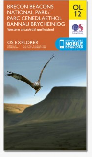
- Brecon Beacons Western & Central OS Explorer Map OL12 (paper)
- The Western and central areas of the Brecon Beacons National Park on a detailed topographic and GPS compatible map OL12, paper version, from the Ordnance Survey’s 1:25,000 Explorer series. Coverage extends from Merthyr Tydfil in the south-east to Llandovery in the north-west and highlights include the Black Mountain, Fforest Fawr, the Beacons... Read more
- Also available from:
- The Book Depository, United Kingdom
- De Zwerver, Netherlands


Stanfords
United Kingdom
2019
United Kingdom
2019
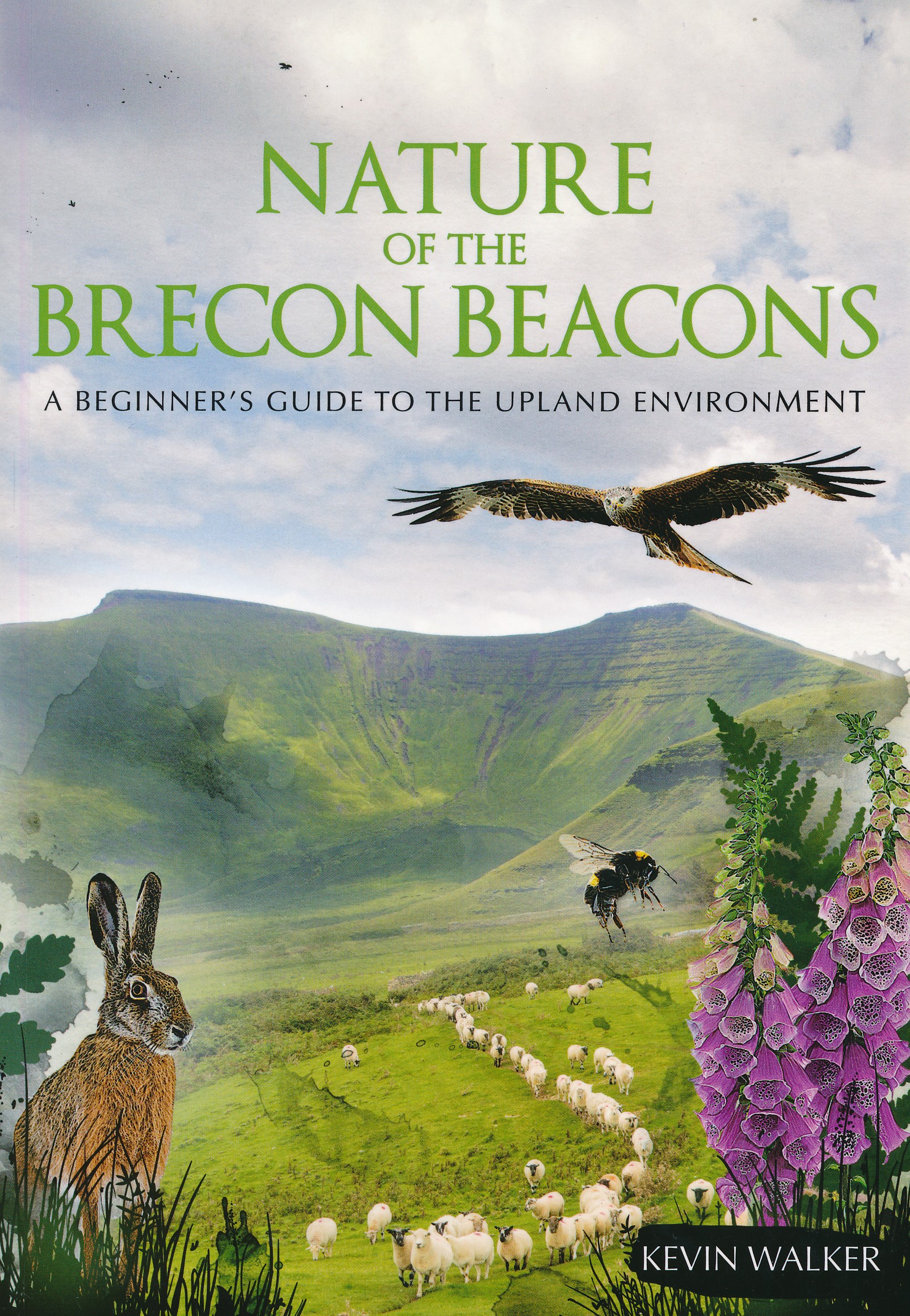
- Nature of the Brecon Beacons: A Beginners Guide to the Upland Environment
- For most people wandering through the beautiful landscape of the Brecon Beacons is pleasure enough, but sooner or later you may ask yourself, what is that little bird or flower that you see on most of your walks?The problem with most guides is that many of the animals, insects, rocks or plants in them are rarities, and therefore probably not... Read more
- Also available from:
- The Book Depository, United Kingdom
- De Zwerver, Netherlands

The Book Depository
United Kingdom
2019
United Kingdom
2019
- Nature of the Brecon Beacons
- A Beginners Guide to the Upland Environment Read more
De Zwerver
Netherlands
2019
Netherlands
2019
- Natuurgids Nature of the Brecon Beacons | Pesda Press
- A Beginners Guide to the Upland Environment Read more
Maps

- Also available from:
- De Zwerver, Netherlands


The Book Depository
United Kingdom
United Kingdom
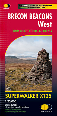
- West and Central Brecon Beacons
- West and Central Brecon Beacons at 1:25,000 in a series of Walker Read more

The Book Depository
United Kingdom
2011
United Kingdom
2011
- Brecon Beacons
- Waterproof mountain map of Brecon Beacons from Harvey at 1:40,000, with a geological map of the region on the reverse and advice on navigating the region safely.MAIN MAP: Topography is shown through clear altitude shading, spot heights, contours at 15m intervals, and index contours at 75m intervals. A variety of symbols are used to show terrain... Read more
- Also available from:
- De Zwerver, Netherlands
De Zwerver
Netherlands
2011
Netherlands
2011
- Wandelkaart Brecon Beacons | Harvey Maps
- Waterproof mountain map of Brecon Beacons from Harvey at 1:40,000, with a geological map of the region on the reverse and advice on navigating the region safely.MAIN MAP: Topography is shown through clear altitude shading, spot heights, contours at 15m intervals, and index contours at 75m intervals. A variety of symbols are used to show terrain... Read more

Bol.com
Netherlands
Netherlands
- Offa's Dyke Path South
- Wandelkaart van het Zuidelijk deel van Offa's Dyke Path met uitsnedes van de route. Offa's Dyke Path is a National Trail. It runs along the border between Wales and England. Offa was a famous king of Mercia from 757 to 796, ruling an area stretching across a large part of England. Offa's Dyke Path runs from sea to sea - the Severn... Read more
- Also available from:
- Bol.com, Belgium
Bol.com
Belgium
Belgium
- Offa's Dyke Path South
- Wandelkaart van het Zuidelijk deel van Offa's Dyke Path met uitsnedes van de route. Offa's Dyke Path is a National Trail. It runs along the border between Wales and England. Offa was a famous king of Mercia from 757 to 796, ruling an area stretching across a large part of England. Offa's Dyke Path runs from sea to sea - the Severn... Read more

Bol.com
Netherlands
Netherlands
- Wales Mountain Biking
- Wales Mountain Biking is the 12th title in Vertebrate Publishing's bestselling series of UK mountain biking guidebooks. This book showcases 20 routes in Wales, between 12km and 50km in length, suitable for all levels of mountain bikers. Split into three sections, South Wales, Mid Wales and North Wales, this book includes classic loops in the... Read more
- Also available from:
- Bol.com, Belgium
Bol.com
Belgium
Belgium
- Wales Mountain Biking
- Wales Mountain Biking is the 12th title in Vertebrate Publishing's bestselling series of UK mountain biking guidebooks. This book showcases 20 routes in Wales, between 12km and 50km in length, suitable for all levels of mountain bikers. Split into three sections, South Wales, Mid Wales and North Wales, this book includes classic loops in the... Read more
De Zwerver
Netherlands
2022
Netherlands
2022
More maps…