
New Hampshire
Description
New Hampshire, in the New England region, has its tips bordering on the Atlantic and Canada.
Prime destination for hikers are the White Mountains, with more than 1000 miles of trails.
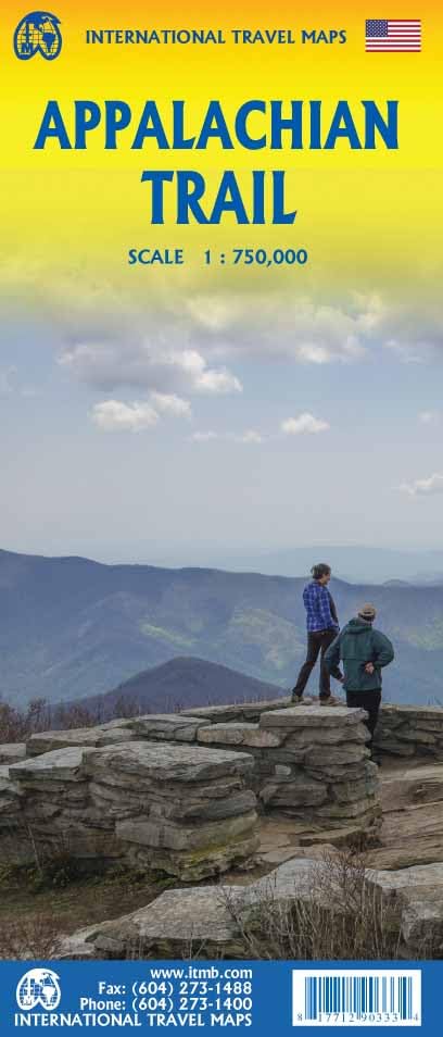
157 Miles of the Appalachian Trail lie in New Hampshire. The Eastern Continental Trail and Great Eastern Trail are partly in this state. The New England Trail should touch on New Hampshire.
The Cohos Trail in the state is 162 miles long.
Map

Trails in this state
Links
Facts
Reports
Guides and maps
Lodging
Organisations
Tour operators
GPS
Other
Books

Stanfords
United Kingdom
United Kingdom
- DK Eyewitness Madrid
- Welcome to Spain`s cultural epicentre.Whether you want to admire the elegance of the Palacio Real, contemplate the creations of Dali`s bizarre genius or enjoy the nightlife in a city that never sleeps, your DK Eyewitness travel guide makes sure you experience all that Madrid has to offerInspiration awaits around Madrid`s every corner: Spain`s... Read more

Stanfords
United Kingdom
2014
United Kingdom
2014
- Lesvos: Car Tours and Walks
- Lesvos is the Sunflower Landscapes guide to exploring the best walking and touring possibilities on the island. The guide covers a range of routes including walks in Loutra, Agiassos, Skamnioudi and an ascent of Mount Olympos. A double-sided, fold-out touring map of Lesvos gives an overview of the island and the locations of each walk. Detailed... Read more

Stanfords
United Kingdom
United Kingdom
- DK Eyewitness Venice and the Veneto
- Welcome to this enchanting corner of ItalyWhether you want to wander around a magical maze of canals, sample delicious cuisine, ramble through majestic mountains or relive fascinating history, your DK Eyewitness travel guide makes sure you experience all that Venice and the Veneto have to offer.The jewel of the Veneto, Venice is a dreamlike... Read more

Stanfords
United Kingdom
United Kingdom
- Rick Steves Best of France (Third Edition)
- Hit France`s can`t-miss art, sights, and bites in two weeks or less with Rick Steves Best of France! Inside you`ll find:Strategic advice from Rick Steves on what`s worth your time and moneyShort itineraries covering the best of Paris, Normandy, the Loire, Dordogne, Provence, the French Riviera, and Burgundy, including Versailles, Nice, the... Read more

Stanfords
United Kingdom
United Kingdom
- Shadowplay - Longlisted for the 2020 Walter Scott Prize for Historical Ficiton
- Longlisted for the 2020 Walter Scott Prize for Historical FictionShortlisted for the Costa Novel Award 2019Winner of the Irish Book Awards Novel of the Year”Breathtaking... A hugely entertaining book about the grand scope of friendship and love” GuardianLondon, 1878. Fresh from life in Dublin, Bram Stoker – now manager of the Lyceum Theatre –... Read more

Stanfords
United Kingdom
2015
United Kingdom
2015
- Western Crete: Car Tours and Walks
- Western Crete is the Sunflower Landscapes guide to exploring the best walking and touring possibilities on the island. The guide covers a range of routes including walks in Kambi, Rodopos, Kallergi and the Samaria and Diktamos Gorges. A double-sided, fold-out touring map at the back of the book gives an overview of Crete and the location of... Read more

Stanfords
United Kingdom
United Kingdom
- Rick Steves Pocket Florence (fourth Edition)
- Make the most of every day and every dollar with Rick Steves! This colorful, compact guidebook is perfect for spending a week or less in Florence: City walks and tours: Five detailed tours and walks showcase Florence`s essential sights, including the Uffizi Gallery, the Duomo, and Michelangelo`s David at the Accademia, plus handy neighborhood... Read more

Stanfords
United Kingdom
United Kingdom
- Corfu
- Corfu is the Sunflower Landscape guide to exploring the best walking and touring possibilities on the island. The guide covers a range of routes including trips around Mt Pantokrator, Gouvia and Kavos. A double-sided, fold-out touring map of Corfu gives an overview of the island and the locations of each walk and tour. Detailed information... Read more

Stanfords
United Kingdom
United Kingdom
- Walking Berlin: The Best of the City
- See the best of Berlin with this streamlined walking guide, complete with 15 step-by-step itineraries and maps to help you explore the city like a pro and navigate like a local. Created in a handy, take-along format, this guide is written by a seasoned travel writer to help conjure the spirit of the place in elegant text enhanced by National... Read more

Stanfords
United Kingdom
United Kingdom
- DK Eyewitness Budapest
- Exuding a fin-de-siecle elegance, Budapest is two cities for the price of one.Whether you want to take a dip in mineral-rich thermal baths, step back in time on the cobbled streets of Castle Hill or enjoy ca drink in the city`s ruin pubs, your DK Eyewitness travel guide makes sure you experience all that Budapest has to offer.Gazing at each... Read more

Stanfords
United Kingdom
United Kingdom
- DK Eyewitness Seville and Andalucia
- Your journey starts here. Featuring DK`s much-loved maps and illustrations, walks and information, plus all new, full-colour photography, this 100% updated guide to Seville and Andalucía brings you the best of this stunning Spanish region and its capital in a brand-new, lightweight format.What`s inside?- full-colour photography, hand-drawn... Read more

Stanfords
United Kingdom
2011
United Kingdom
2011
- Skye & The Western Isles
- Skye & the Western Isles is a fully revised new edition of the only comprehensive guide to Scotland`s Western Isles, which include Skye, Lewis, Harris, Uist, Iona, Jura, Islay and Arran. These enchanting islands reward the visitor with a rich variety of terrain and wildlife from the stark beauty of the Cuillin mountains of Skye to the raging... Read more

Stanfords
United Kingdom
United Kingdom
- DK Eyewitness Seville and Andalucia
- Discover diverse landscapes, romantic cities and vibrant traditions.Whether you want to tour the magical Moorish palace of Alhambra, learn the art of tapas bar hopping in Granada or spot wildlife at Parque Nacional de Donana, your DK Eyewitness travel guide makes sure you experience all that Seville and Andalucia have to offer.With undulating... Read more

Stanfords
United Kingdom
United Kingdom
- Insight Guides Explore Vietnam
- From making sure you don`t miss out on must-see attractions like the the Mekong Delta, Ho Chi Minh City and Hanoi, to discovering hidden gems, including Sa Pa, the easy-to-follow, ready-made walking routes will save you time, help you plan and enhance your visit to Vietnam.Practical, pocket-sized and packed with inspirational insider... Read more

Stanfords
United Kingdom
United Kingdom
- Azores Tour & Trail Super-Durable Map
- For the best adventures, use the best map. Azores Tour & Trail Super-Durable Map is the most detailed, accurate, toughest, large scale map of these 9 islands that you can buy. Super-Durable Maps now come with a 2 year adventurous use wear and tear guarantee, see Discovery Walking Guides website for details. 1:60,000 scale for each island, Sao... Read more
Maps

- Also available from:
- De Zwerver, Netherlands


The Book Depository
United Kingdom
2018
United Kingdom
2018
- Ben Nevis and Glen Coe
- Waterproof mountain map of Ben Nevis & Glen Coe from Harvey at 1:40,000, with a geological map of the region on the reverse, an enlargement of Ben Nevis' summit, and advice on navigating the region safely.MAIN MAP: Topography is shown through clear altitude shading, spot heights, contours at 15m intervals, and index contours at 75m intervals. A... Read more
- Also available from:
- De Zwerver, Netherlands

De Zwerver
Netherlands
2018
Netherlands
2018
- Wandelkaart Ben Nevis & Glen Coe | Harvey Maps
- Waterproof mountain map of Ben Nevis & Glen Coe from Harvey at 1:40,000, with a geological map of the region on the reverse, an enlargement of Ben Nevis' summit, and advice on navigating the region safely.MAIN MAP: Topography is shown through clear altitude shading, spot heights, contours at 15m intervals, and index contours at 75m intervals. A... Read more
Bol.com
Netherlands
Netherlands
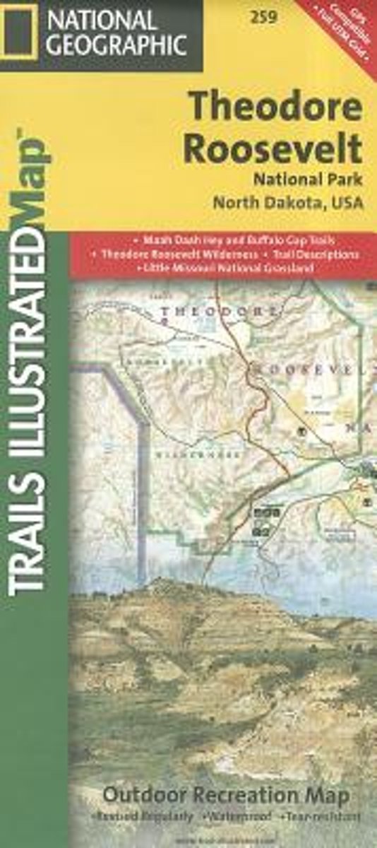
- Theodore Roosevelt National Park/maah Daah Hey Trail
- Get the most trusted and popular recreation maps available. Each map is crafted in conjunction with local land managers and undergoes rigorous review and enhancement before being printed on waterproof, tear-resistant material. The maps are updated regularly to include detailed topographic information, clearly marked/named trails, recreational... Read more
- Also available from:
- Bol.com, Belgium
Bol.com
Belgium
Belgium
- Theodore Roosevelt National Park/maah Daah Hey Trail
- Get the most trusted and popular recreation maps available. Each map is crafted in conjunction with local land managers and undergoes rigorous review and enhancement before being printed on waterproof, tear-resistant material. The maps are updated regularly to include detailed topographic information, clearly marked/named trails, recreational... Read more

The Book Depository
United Kingdom
United Kingdom
- Green Mountains N.f., Moosalamoo Nra/rutland
- Trails Illustrated Other Rec. Areas Read more
- Also available from:
- Bol.com, Netherlands
- Bol.com, Belgium
- De Zwerver, Netherlands

Bol.com
Netherlands
Netherlands
- Green Mountains N.F., Moosalamoo NRA/Rutland
- Waterproof Tear-Resistant Topographic MapNational Geographic's Green Mountain National Forest North Trails Illustrated topographic map is the most comprehensive available for outdoor enthusiasts of all types. Designed to be easy-to-read, yet highly detailed this map includes a comprehensive road and trail network distinguishing between... Read more
Bol.com
Belgium
Belgium
- Green Mountains N.F., Moosalamoo NRA/Rutland
- Waterproof Tear-Resistant Topographic MapNational Geographic's Green Mountain National Forest North Trails Illustrated topographic map is the most comprehensive available for outdoor enthusiasts of all types. Designed to be easy-to-read, yet highly detailed this map includes a comprehensive road and trail network distinguishing between... Read more

De Zwerver
Netherlands
Netherlands
- Wandelkaart - Topografische kaart 747 Green Mountain National Forest North - Moosalamoo NRA - Rutland | National Geographic
- Prachtige geplastificeerde kaart van het bekende nationaal park. Met alle recreatieve voorzieningen als campsites, maar ook met topografische details en wandelroutes ed. Door uitgekiend kleurgebruik zeer prettig in gebruik. Scheur en watervast! National Geographic's Green Mountain National Forest North Trails Illustrated topographic map is... Read more
Ordnance Survey
United Kingdom
United Kingdom
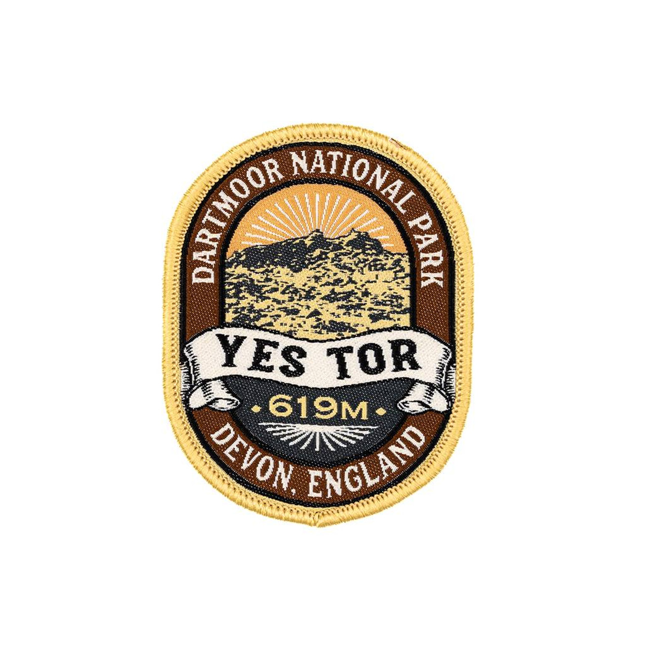
- The Adventure Patch Company Yes Tor Patch
- Woven patch celebrating one Dartmoor's second highest tor. Read more

Bol.com
Netherlands
Netherlands
- Springer & Cohutta Mountains, Chattahoochee National Forest
- Waterproof Tear-Resistant Topographic MapLocated just north of Atlanta, the Chattahoochee National Forest contains the southern terminus of the Appalachian Trail along with an abundance of recreational opportunities for outdoor enthusiasts of all interests.This detailed recreation map contains carefully researched trails, campsites,... Read more
- Also available from:
- Bol.com, Belgium
Bol.com
Belgium
Belgium
- Springer & Cohutta Mountains, Chattahoochee National Forest
- Waterproof Tear-Resistant Topographic MapLocated just north of Atlanta, the Chattahoochee National Forest contains the southern terminus of the Appalachian Trail along with an abundance of recreational opportunities for outdoor enthusiasts of all interests.This detailed recreation map contains carefully researched trails, campsites,... Read more

- Also available from:
- Bol.com, Netherlands
- Bol.com, Belgium
- De Zwerver, Netherlands

Bol.com
Netherlands
2014
Netherlands
2014
- Cape Wrath Trail South XT40
- Cape Wrath Trail is a challenging route from Fort William to Cape Wrath. It is around 200 miles long and passes through some of Scotland's wildest and most spectacular scenery. The trail has evolved from use and is not an officially recognised National Trail. There is no single definitive route. There are various ways of tackling the traverse... Read more
Bol.com
Belgium
2014
Belgium
2014
- Cape Wrath Trail South XT40
- Cape Wrath Trail is a challenging route from Fort William to Cape Wrath. It is around 200 miles long and passes through some of Scotland's wildest and most spectacular scenery. The trail has evolved from use and is not an officially recognised National Trail. There is no single definitive route. There are various ways of tackling the traverse... Read more

De Zwerver
Netherlands
2014
Netherlands
2014
- Wandelkaart Cape Wrath Trail South | Harvey Maps
- The southern section of the Cape Wrath Trail, from Fort William to Strathcarron presented at 1:40,000 on a light, waterproof and tear-resistant map from Harvey Map Services. The map covers this section of the trail on eight panels, showing both the western variant via Inverie and Shiel Bridge, and inland route along Loch Lochy and Invegarry.... Read more
Ordnance Survey
United Kingdom
United Kingdom
- Ordnance Survey OS Maps Premium Annual Subscription
- Get unlimited access to detailed topographic mapping for the whole of Great Britain, Northern Ireland, USA, Australia and New Zealand with OS Maps Premium. OS Maps makes it easy to discover, plan and follow and explore routes in the great outdoors. Premium features include: Instant access to hundreds of maps That’s digital access to 607 OS... Read more
Bol.com
Netherlands
Netherlands
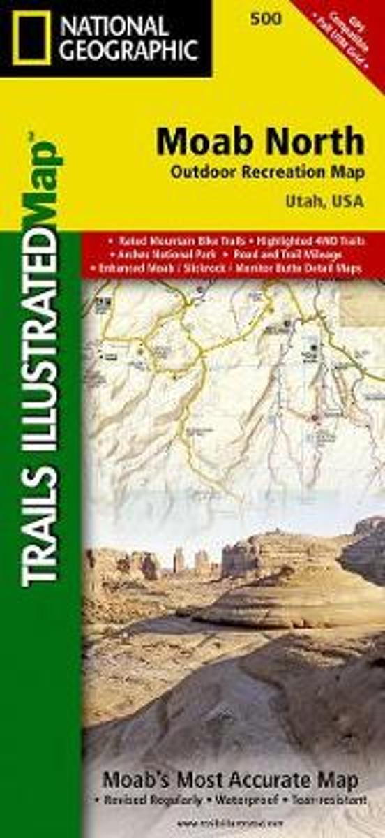
- Moab North
- Waterproof Tear-Resistant Topographic MapA popular destination for mountain biking, hiking, whitewater rafting, and four-wheeling, Moab offers adventure and recreation in one of the most iconic landscapes in the United States. National Geographic's Trails Illustrated map of Moab North was created in partnership with local land management... Read more
- Also available from:
- Bol.com, Belgium
Bol.com
Belgium
Belgium
- Moab North
- Waterproof Tear-Resistant Topographic MapA popular destination for mountain biking, hiking, whitewater rafting, and four-wheeling, Moab offers adventure and recreation in one of the most iconic landscapes in the United States. National Geographic's Trails Illustrated map of Moab North was created in partnership with local land management... Read more

Bol.com
Netherlands
Netherlands
- Cades Cove/elkmont, Great Smoky Mountains National Park
- Waterproof Tear-Resistant Topographic MapThis title provides an increased scale of one of the most visited National Parks in the US, and one of our more popular map titles. This increased scale will provide greater detail to the backcountry users and Appalachian Trail through-hikers.Park Introduction:Great Smoky Mountains National Park is... Read more
- Also available from:
- Bol.com, Belgium
- De Zwerver, Netherlands
Bol.com
Belgium
Belgium
- Cades Cove/elkmont, Great Smoky Mountains National Park
- Waterproof Tear-Resistant Topographic MapThis title provides an increased scale of one of the most visited National Parks in the US, and one of our more popular map titles. This increased scale will provide greater detail to the backcountry users and Appalachian Trail through-hikers.Park Introduction:Great Smoky Mountains National Park is... Read more

De Zwerver
Netherlands
Netherlands
- Wandelkaart - Topografische kaart 316 Cades Cove - Elkmont - Great Smoky Mountains National Park | National Geographic
- Prachtige geplastificeerde kaart van het bekende nationaal park. Met alle recreatieve voorzieningen als campsites, maar ook met topografische details en wandelroutes ed. Door uitgekiend kleurgebruik zeer prettig in gebruik. Scheur en watervast! This title provides an increased scale of one of the most visited National Parks in the US, and one... Read more

The Book Depository
United Kingdom
United Kingdom
- Bryce Canyon National Park
- Trails Illustrated National Parks Read more
- Also available from:
- Bol.com, Netherlands
- Bol.com, Belgium
- De Zwerver, Netherlands

Bol.com
Netherlands
Netherlands
- Bryce Canyon National Park
- Waterproof Tear-Resistant Topographic MapNational Geographic's Trails Illustrated map of Bryce Canyon National Park is designed to meet the needs of outdoor enthusiasts by combining valuable information with unmatched detail of this unique landscape of hoodoos and forest. Created in partnership with local land management agencies, this... Read more
Bol.com
Belgium
Belgium
- Bryce Canyon National Park
- Waterproof Tear-Resistant Topographic MapNational Geographic's Trails Illustrated map of Bryce Canyon National Park is designed to meet the needs of outdoor enthusiasts by combining valuable information with unmatched detail of this unique landscape of hoodoos and forest. Created in partnership with local land management agencies, this... Read more

De Zwerver
Netherlands
Netherlands
- Wandelkaart - Topografische kaart 219 Bryce Canyon National Park | National Geographic
- Prachtige geplastificeerde kaart van het bekende nationaal park. Met alle recreatieve voorzieningen als campsites, maar ook met topografische details en wandelroutes ed. Door uitgekiend kleurgebruik zeer prettig in gebruik. Scheur en watervast! This informative Trails Illustrated map will help you plan trips and explore the area in and around... Read more

De Zwerver
Netherlands
2019
Netherlands
2019
- Reisgids Iceland Road Guide | Vegahandbokin
- Iceland Road Guide from Vegahandbókin, an exceptionally comprehensive, 605-page guide with region-by-region descriptions of sites accompanied by road maps and street plans, plus a separate road atlas section covering the whole country at 1:500,000 and information on a wide variety of tourism relating topics to help the user get the best of... Read more

The Book Depository
United Kingdom
United Kingdom
- Mount Rogers High Country
- Trails Illustrated Other Rec. Areas Read more
- Also available from:
- Bol.com, Netherlands
- Bol.com, Belgium
- De Zwerver, Netherlands

Bol.com
Netherlands
Netherlands
- Mount Rogers High Country
- Waterproof Tear-Resistant Topographic MapNational Geographic's Trails Illustrated map of Mount Rogers High Country and Grayson Highlands State Park, Southwest Virginia, is a two-sided, waterproof, topographic trail map designed to meet the needs of outdoor enthusiasts with unmatched durability and detail. This map was created in... Read more
Bol.com
Belgium
Belgium
- Mount Rogers High Country
- Waterproof Tear-Resistant Topographic MapNational Geographic's Trails Illustrated map of Mount Rogers High Country and Grayson Highlands State Park, Southwest Virginia, is a two-sided, waterproof, topographic trail map designed to meet the needs of outdoor enthusiasts with unmatched durability and detail. This map was created in... Read more

De Zwerver
Netherlands
Netherlands
- Wandelkaart - Topografische kaart 318 Mount Rogers High Country - Grayson Highlands State Park | National Geographic
- Prachtige geplastificeerde kaart van het bekende nationaal park. Met alle recreatieve voorzieningen als campsites, maar ook met topografische details en wandelroutes ed. Door uitgekiend kleurgebruik zeer prettig in gebruik. Scheur en watervast! National Geographic's Trails Illustrated map of Mount Rogers High Country and Grayson Highlands... Read more

Bol.com
Netherlands
Netherlands
- Yorkshire Dales Mountain Biking
- This is a mountain biking guidebook to the Yorkshire Dales. Yorkshire Dales Mountain Biking - The North Dales is a user-friendly guide to the best riding in one of the country's most MTB-friendly national parks. The Yorkshire Dales have the lot: short riverside cruises on good trails, epic rides taking in big views, moorland singletrack and... Read more
- Also available from:
- Bol.com, Belgium
Bol.com
Belgium
Belgium
- Yorkshire Dales Mountain Biking
- This is a mountain biking guidebook to the Yorkshire Dales. Yorkshire Dales Mountain Biking - The North Dales is a user-friendly guide to the best riding in one of the country's most MTB-friendly national parks. The Yorkshire Dales have the lot: short riverside cruises on good trails, epic rides taking in big views, moorland singletrack and... Read more