
Pennine Bridleway
Description
- Name Pennine Bridleway
- Length of trail 209 km, 130 miles
- Length in days 11 days
- Traildino grading EW, Easy walk, nature trail

130 miles, 209 km, 11 days (currently)
National Trails
Horseriders are the main target for the Pennine Bridleway under construction. By now, 130 miles, 209 km, are open for the public. Special facilities for the horses are constructed. Work is in progress to finish the Northern part and then the trail will be 350 miles long. Bikers and hikers are welcome too. Hopefully this works out harmoniously.
The Pennine Bridleway is not to be confused with the Pennine Way. Both are National Trails. The Bridleway is generally more easy to walk. Both trails run parallel and intertwine at several places.
The landscape is fabulous of course, and this must be a prime destination for any serious rider with a couple of brave, hardy horses. The landscape is open and sometimes bleak with great distances in the Southern Pennines. In the Yorkshire Dales open grasslands, wooded hills and friendly valleys alternate. The Peak District offers high hills with grasslands and heather.
A magnificent project!
Map

Links
Facts
Reports
Guides and maps
Lodging
Organisations
Tour operators
GPS
Other
Books

United Kingdom
2015
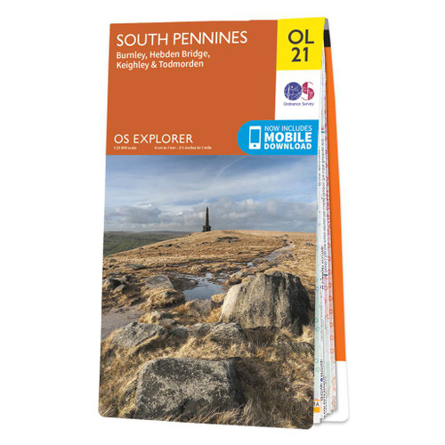
- South Pennines: Burnley, Hebden Bridge, Keighley & Todmorden OS Explorer Map OL21 (paper)
- The southern part of the Pennines on a detailed topographic and GPS compatible map OL21, paper version, from the Ordnance Survey’s 1:25,000 Explorer series. The map covers an area between Burney and Halifax, extending north to Skipton and Horton. Coverage includes Littleborough, Sowerby Bridge, Todmorden, Haworth, Nelson, Bernoldswick, the peak... Read more
- Also available from:
- The Book Depository, United Kingdom
- De Zwerver, Netherlands


United Kingdom
2015
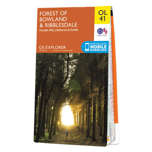
- Forest of Bowland & Ribblesdale - Pendle Hill, Clitheroe & Settle OS Explorer Map OL41 (paper)
- The Forest of Bowland and Ribblesdale on a detailed topographic and GPS compatible map OL41, paper version, from the Ordnance Survey’s 1:25,000 Explorer series. Coverage extends from Lancaster in the west to Settle and Barnoldswick, and includes Barrowford, Clitheroe, Catterall, Hornby, Stocks Reservoir, sections of the Pennine Bridleway... Read more
- Also available from:
- The Book Depository, United Kingdom
- De Zwerver, Netherlands


United Kingdom
- South Pennines: Burnley, Hebden Bridge, Keighley & Todmorden OS Explorer Active Map OL21 (waterproof)
- The southern part of the Pennines on a detailed topographic and GPS compatible map OL21, waterproof version, from the Ordnance Survey’s 1:25,000 Explorer series. The map covers an area between Burney and Halifax, extending north to Skipton and Horton. Coverage includes Littleborough, Sowerby Bridge, Todmorden, Haworth, Nelson, Bernoldswick, the... Read more
- Also available from:
- The Book Depository, United Kingdom

United Kingdom

United Kingdom
- Forest of Bowland & Ribblesdale - Pendle Hill, Clitheroe & Settle OS Explorer Active Map OL41 (waterproof)
- The Forest of Bowland and Ribblesdale on a detailed topographic and GPS compatible map OL41, waterproof version, from the Ordnance Survey’s 1:25,000 Explorer series. Coverage extends from Lancaster in the west to Settle and Barnoldswick, and includes Barrowford, Clitheroe, Catterall, Hornby, Stocks Reservoir, sections of the Pennine Bridleway... Read more
- Also available from:
- The Book Depository, United Kingdom

United Kingdom
Netherlands
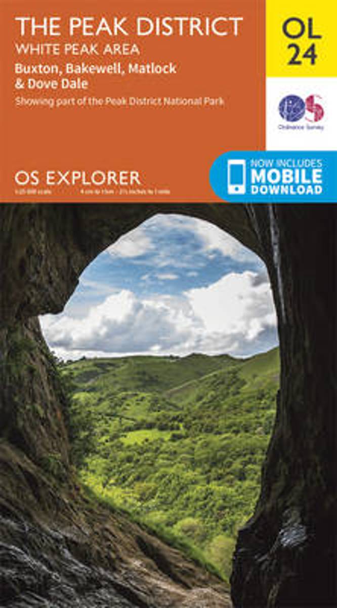
- The Peak District, White Peak Area, Buxton, Bakewell, Matlock & Dove Dale
- OS Explorer is the Ordnance Survey's most detailed map and is recommended for anyone enjoying outdoor activities like walking, horse riding and off-road cycling. The OS Explorer range of OL maps now includes a digital version of the paper map, accessed through the OS smartphone app, OS Maps. Providing complete GB coverage the series details... Read more
- Also available from:
- Bol.com, Belgium
Belgium
- The Peak District, White Peak Area, Buxton, Bakewell, Matlock & Dove Dale
- OS Explorer is the Ordnance Survey's most detailed map and is recommended for anyone enjoying outdoor activities like walking, horse riding and off-road cycling. The OS Explorer range of OL maps now includes a digital version of the paper map, accessed through the OS smartphone app, OS Maps. Providing complete GB coverage the series details... Read more
Maps
Netherlands
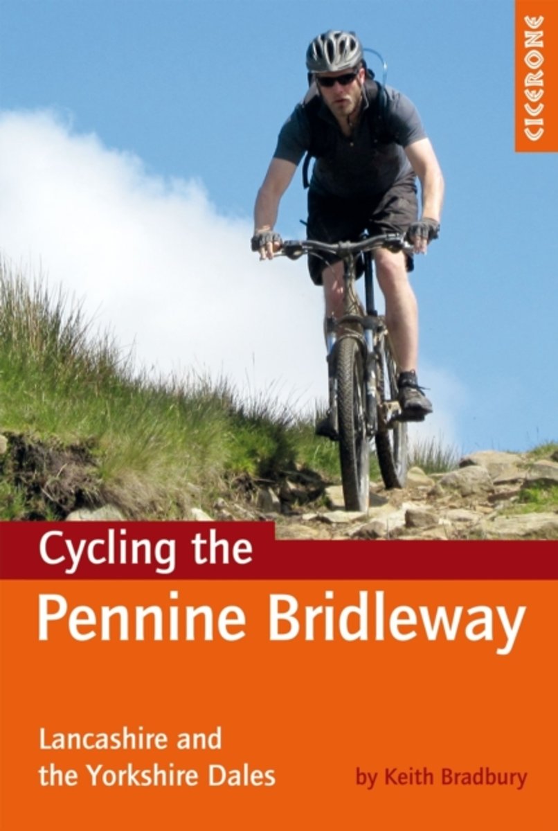
- Cycling the Pennine Bridleway
- This guidebook covers the northern stages of the Pennine Bridleway, through Lancashire, Yorkshire and Cumbria, a dedicated and waymarked mountain biking and horse-riding trail that opened in 2011. Using part of the Mary Towneley Loop, the route is described for mountain bikers from Summit, just outside Rochdale all the way to Ravenstonedale in... Read more
- Also available from:
- Bol.com, Belgium
Belgium
- Cycling the Pennine Bridleway
- This guidebook covers the northern stages of the Pennine Bridleway, through Lancashire, Yorkshire and Cumbria, a dedicated and waymarked mountain biking and horse-riding trail that opened in 2011. Using part of the Mary Towneley Loop, the route is described for mountain bikers from Summit, just outside Rochdale all the way to Ravenstonedale in... Read more