Sal
Description
Flat and barren Sal is named after its natural salt evaporation ponds in Pedra de Lume. This unique phenomenon - a volcanic crater below sea level - can be visited but is out of use these days. The international airport and modern resorts attract tourists. Walking is possible and one will enjoy the semi-desert landscape and little fishing ports.
Links
Facts
Reports
Guides and maps
Lodging
Organisations
Tour operators
GPS
Other
Books
- Also available from:
- De Zwerver, Netherlands
» Click to close

Bol.com
Netherlands
Netherlands
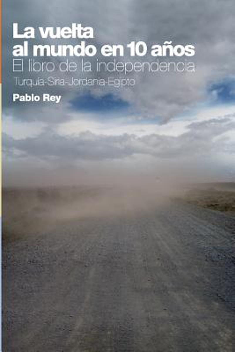
- La Vuelta Al Mundo En 10 Anos
- Cuando partimos de Barcelona, Espa a, en junio del a o 2000, pensamos que podr amos dar la vuelta al mundo en 4 a os. Luego nos convencimos que la terminar amos en 7. Cuando llegamos al sexto a o de viaje, cre mos que diez era buen n mero, un n mero redondo. Ya no hacemos tantos planes. Simplemente, nos quedamos a vivir en la... Read more
- Also available from:
- Bol.com, Belgium

Bol.com
Belgium
Belgium
- La Vuelta Al Mundo En 10 Anos
- Cuando partimos de Barcelona, Espa a, en junio del a o 2000, pensamos que podr amos dar la vuelta al mundo en 4 a os. Luego nos convencimos que la terminar amos en 7. Cuando llegamos al sexto a o de viaje, cre mos que diez era buen n mero, un n mero redondo. Ya no hacemos tantos planes. Simplemente, nos quedamos a vivir en la... Read more
Maps

Stanfords
United Kingdom
United Kingdom
- Manti La Sal National Forest UT
- Map No. 703, Manti La Sal National Forest, UT, in an extensive series of GPS compatible, contoured hiking maps of USA’s national and state parks or forests and other popular recreational areas. Cartography based on the national topographic survey, with additional tourist information.The maps, with most titles now printed on light, waterproof... Read more
- Also available from:
- De Zwerver, Netherlands

De Zwerver
Netherlands
Netherlands
- Wandelkaart - Topografische kaart 703 Manti La-Sal National Forest | National Geographic
- Prachtige geplastificeerde kaart van het bekende nationaal park. Met alle recreatieve voorzieningen als campsites, maar ook met topografische details en wandelroutes ed. Door uitgekiend kleurgebruik zeer prettig in gebruik. Scheur en watervast! Coverage includes Manti-La-Sal National Forest; Dark Canyon Wilderness/Primitive Area; Natural... Read more

Stanfords
United Kingdom
United Kingdom
- Cabezón de la Sal CNIG Topo 57
- Topographic coverage of mainland Spain at 1:50,000 in the MTN50 (Mapa Topográfico Nacional) series from the Centro Nacional de Información Geografica, the country’s civilian survey organization. The maps have contours at 20m intervals, enhanced by relief shading, plus colouring and/or graphics to show different types of terrain, vegetation or... Read more

Stanfords
United Kingdom
United Kingdom
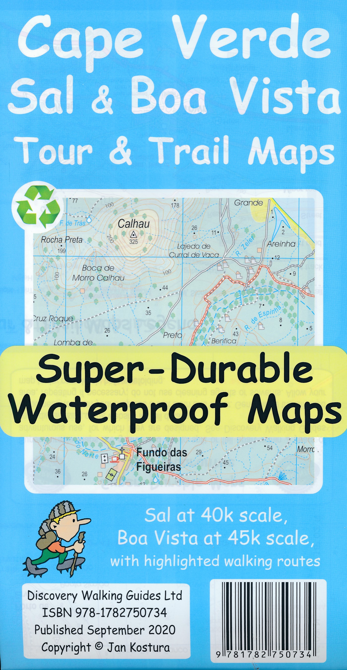
- E4 Arquipelago de Cabo Verde
- Plans included:Porto Novo (Ilha de Santo Antão) (1:10 000)Mindelo (Porto Grande) (Ilha de São Vicente) (1:20 000)Ilha de Santa Luzia (1:not known)Porto de Tarrafal (Ilha de São Nicolau) (1:8500)Porto da Preguiça (Ilha de São Nicolau) (1:8500)Baía da Palmeira (Ilha do Sal) (1:15 000)Porto de Sal-Rei (Ilha da Boavista) (1:30 000)Porto da Praia... Read more

Stanfords
United Kingdom
United Kingdom
- Alcacer do Sal
- Topographic survey of Portugal at 1:50,000 from the Instituto Geográfico do Exército, the country’s military survey organisation. The maps have contours at 20m intervals and in addition to the standard features shown on topographic mapping at this scale also indicate various types of terrain or vegetation (sand, terraces, rocks, woodlands,... Read more

Stanfords
United Kingdom
United Kingdom
- Alcacer do Sal
- Topographic survey of Portugal at 1:100,000 from the Instituto Geográfico Português, the country’s civilian survey organisation. The maps have contours at 50m intervals and in addition to the standard features shown on topographic mapping at this scale also indicate various types of vegetation (vineyards, olive groves, etc). Each sheet covers... Read more
- Also available from:
- Stanfords, United Kingdom

Stanfords
United Kingdom
United Kingdom
- Alcacer do Sal
- Topographic survey of Portugal at 1:50,000 from the Instituto Geográfico Português, the country’s civilian survey organisation. The maps have contours at 25m intervals and in addition to the standard features shown on topographic mapping at this scale also indicate various types of vegetation (vineyards, olive groves, etc). Each sheet covers an... Read more

Stanfords
United Kingdom
United Kingdom
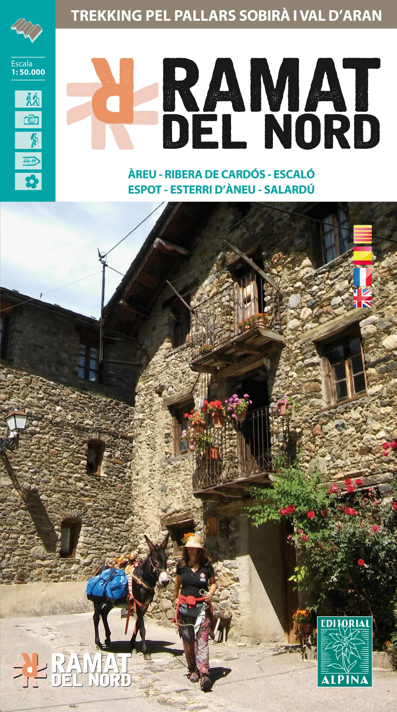
- Ramat del Nord Editorial Alpina
- Trekking through the Pallars following in the footsteps of Camilo Jose Cela and Josep M. Espinas. This Editorial Alpina map and guide at 1:50,000 scale is in English, French, Spanish and Catalan.Covers: La Pobla de Segur, Peramea, Gerri de la Sal, Baro, Tornafort, Sort, Llessui, Rialp, Llavorsi, Tirvia, Areu. Read more
- Also available from:
- The Book Depository, United Kingdom
- De Zwerver, Netherlands

The Book Depository
United Kingdom
United Kingdom
- Ramat del Nord trekking map & guide
- Trekking through the Pallars following in the footsteps of Camilo Jose Cela and Josep M. Espinas. This Editorial Alpina map and guide at 1:50,000 scale is in English, French, Spanish and Catalan.Covers: La Pobla de Segur, Peramea, Gerri de la Sal, Baro, Tornafort, Sort, Llessui, Rialp, Llavorsi, Tirvia, Areu. Read more

De Zwerver
Netherlands
Netherlands
- Wandelkaart Ramat del Nord | Editorial Alpina
- Trekking through the Pallars following in the footsteps of Camilo Jose Cela and Josep M. Espinas. This Editorial Alpina map and guide at 1:50,000 scale is in English, French, Spanish and Catalan.Covers: La Pobla de Segur, Peramea, Gerri de la Sal, Baro, Tornafort, Sort, Llessui, Rialp, Llavorsi, Tirvia, Areu. Read more

De Zwerver
Netherlands
Netherlands
- Wandelkaart Ramat de l'Est - trekking pel Pallars | Editorial Alpina
- Trekking through the Pallars following in the footsteps of Camilo Jose Cela and Josep M. Espinas. This Editorial Alpina map and guide at 1:50,000 scale is in English, French, Spanish and Catalan.Covers: La Pobla de Segur, Peramea, Gerri de la Sal, Baro, Tornafort, Sort, Llessui, Rialp, Llavorsi, Tirvia, Areu. Read more


