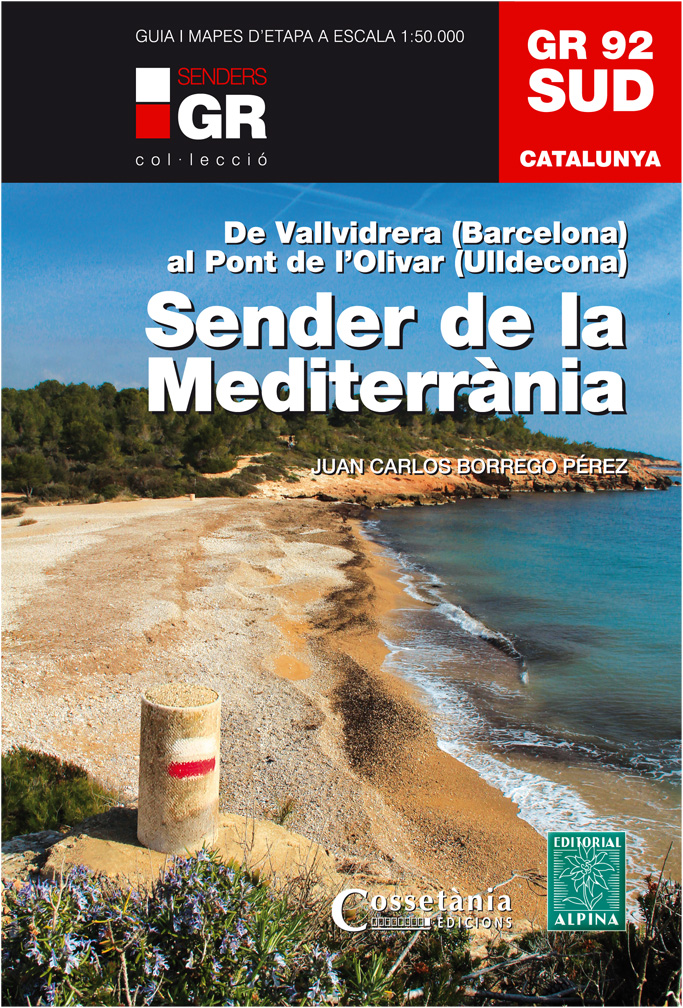
GR92 Sender Mediterraneo
Description
- Name GR92 Sender Mediterraneo (GR92)
- Length of trail 822 km, 511 miles
- Length in days 41 days
- Start of trail Banyuls-sur-Mer
- End of trail Tarifa
- Traildino grading EW, Easy walk, nature trail


92
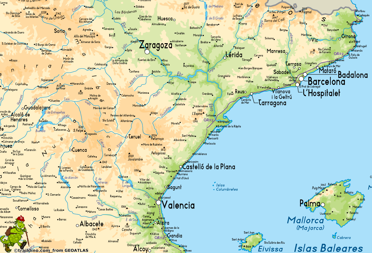
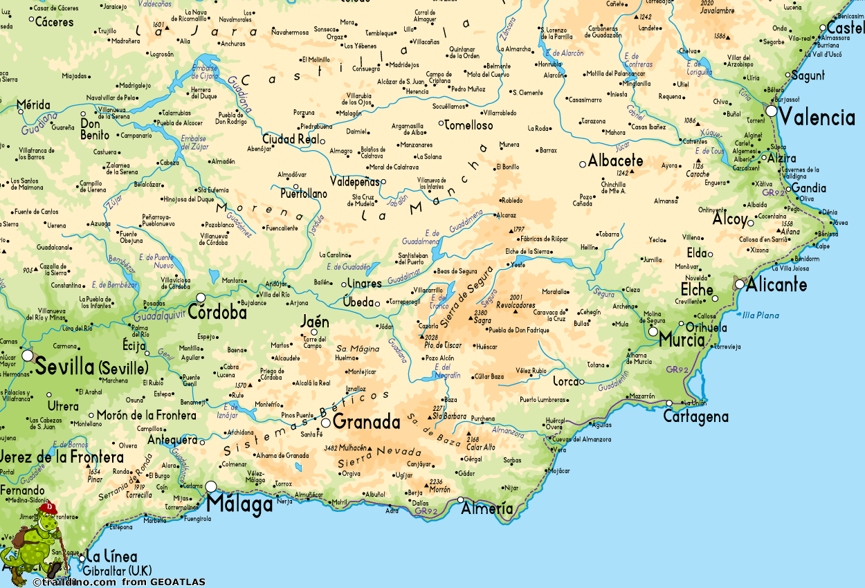
Sender Mediterraneo, GR92 Sender Mediterraneo. 821 km, 28 stages. Catalunya, País Valencià, Múrcia and Andalucía
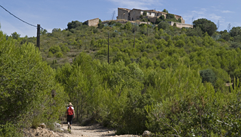
The GR92 is a pleasant walk not far from the well known Costa Brava. It alternates between customs roads along the coast, flat stages that sink a little deeper into the land and more "mountain" sections which offer superb sea views Given the highly tourist Costa Brava, the GR92 is always close to civilization. Thus at the end of each stage one can reach a city or village for food and accommodation. There is no difficulty in finding supplies, nor water. The Costa Brava is a hot place, so choose this hike in spring or autumn and in any case start early and relax at lunchtime!
Map
Links
Facts
Reports
Guides and maps
Lodging
Organisations
Tour operators
GPS
Other
Books
Maps

Stanfords
United Kingdom
United Kingdom
- Cabo de Gata-Níjar Natural Park Editorial Alpina
- Cabo da Gata area on the south-eastern tip of Andalucía on a contoured and GPS compatible map at 1:50,000 from Editorial Alpina highlighting hiking and cycling trails, plus a booklet with English language descriptions of recommended routes, accommodation lists, etc.Topography is shown by contours at 20m intervals, with relief shading and... Read more
- Also available from:
- The Book Depository, United Kingdom
- De Zwerver, Netherlands

The Book Depository
United Kingdom
United Kingdom
- Cabo de Gata / Nijar
- Gedetailleerde wandelkaart van een interessant wandelgebied. Uitstekend leesbaar, inhoudelijk een goede kaart met allerhande informatie op topografische basis waarbij wandelroutes, campings en hutten. Bij een aantal Alpina kaarten is een boekje bijgevoegd met routes. Door de toevoeging van gradengrid is deze kaart bruikbaar voor GPS. Cabo da... Read more

De Zwerver
Netherlands
Netherlands
- Wandelkaart Cabo de Gata - Nijar | Editorial Alpina
- Gedetailleerde wandelkaart van een interessant wandelgebied. Uitstekend leesbaar, inhoudelijk een goede kaart met allerhande informatie op topografische basis waarbij wandelroutes, campings en hutten. Bij een aantal Alpina kaarten is een boekje bijgevoegd met routes. Door de toevoeging van gradengrid is deze kaart bruikbaar voor GPS. Cabo da... Read more


