
Salzburg
Description
Bundesland around the city of Salzburg, central Austria. Here you will find some of the heighest and wildest mountain regions of the country.
Trails in this state
Links
Facts
Reports
Guides and maps
Lodging
Organisations
Tour operators
GPS
Other
Books

Stanfords
United Kingdom
United Kingdom
- Rick Steves Pocket Munich & Salzburg (Second Edition)
- Make the most of every day and every dollar with Rick Steves! This colorful, compact guidebook is perfect for spending a week or less in Munich and Salzburg: City walks and tours: Five detailed self-guided walks including a Munich city walk, Nymphenburg Palace tour, Sound of Music tour, and more Rick`s strategic advice on what`s worth your time... Read more

Stanfords
United Kingdom
United Kingdom
- Rick Steves Best of Germany (Third Edition): With Salzburg
- Hit Germany`s can`t-miss art, sights, and bites in two weeks or less with Rick Steves Best of Germany! Inside you`ll find:*Strategic advice from Rick Steves on what`s worth your time and money*Short itineraries covering Munich, Bavaria, Rothenburg and the Romantic Road, the Rhine Valley, and Berlin, plus Salzburg, Austria*Rick`s tips for... Read more

Stanfords
United Kingdom
United Kingdom
- Frommer`s Vienna Day by Day
- Vienna, Austria is so rich with cultural treasures, so replete with sights and wonders, that visitors are often bewildered by the task of planning a visit. Which of nearly 100 museums to visit? Which of countless theatres and concert halls? With an endless number of celebrated restaurants, cafes, lively taverns, bakeries serving famous... Read more

Stanfords
United Kingdom
2020
United Kingdom
2020
- Walking in the Salzkammergut: the Austrian Lake District: 30 walks in Salzburg`s lakes and mountains, including the Dachstein
- Guidebook of 30 stunning day walks in the beautiful Salzkammergut lake district of Austria. Easy to get to from Linz and Salzburg, the area is studded with lakes and bristling with mountain peaks, and has a great range of waymarked trails, from lakeside strolls to challenging mountain walks. The routes in this book are within the capabilities... Read more
- Also available from:
- The Book Depository, United Kingdom
- De Zwerver, Netherlands

The Book Depository
United Kingdom
2020
United Kingdom
2020
- Walking in the Salzkammergut: the Austrian Lake District
- 30 walks in Salzburg's lakes and mountains, including the Dachstein Read more

De Zwerver
Netherlands
2020
Netherlands
2020

Bol.com
Netherlands
Netherlands
- Over the Top & Back Again
- Book of the Year Bronze Award 2010 (travel essays category), ForeWord Magazine After hiking some of the world's great trails, Brandon Wilson was excited to hear about the Via Alpina, paths running across eight countries on the backbone of the Alps. Besides promising immersion into Alpine life and wilderness, it was the ultimate adventure. It... Read more
- Also available from:
- Bol.com, Belgium
Bol.com
Belgium
Belgium
- Over the Top & Back Again
- Book of the Year Bronze Award 2010 (travel essays category), ForeWord Magazine After hiking some of the world's great trails, Brandon Wilson was excited to hear about the Via Alpina, paths running across eight countries on the backbone of the Alps. Besides promising immersion into Alpine life and wilderness, it was the ultimate adventure. It... Read more
De Zwerver
Netherlands
Netherlands
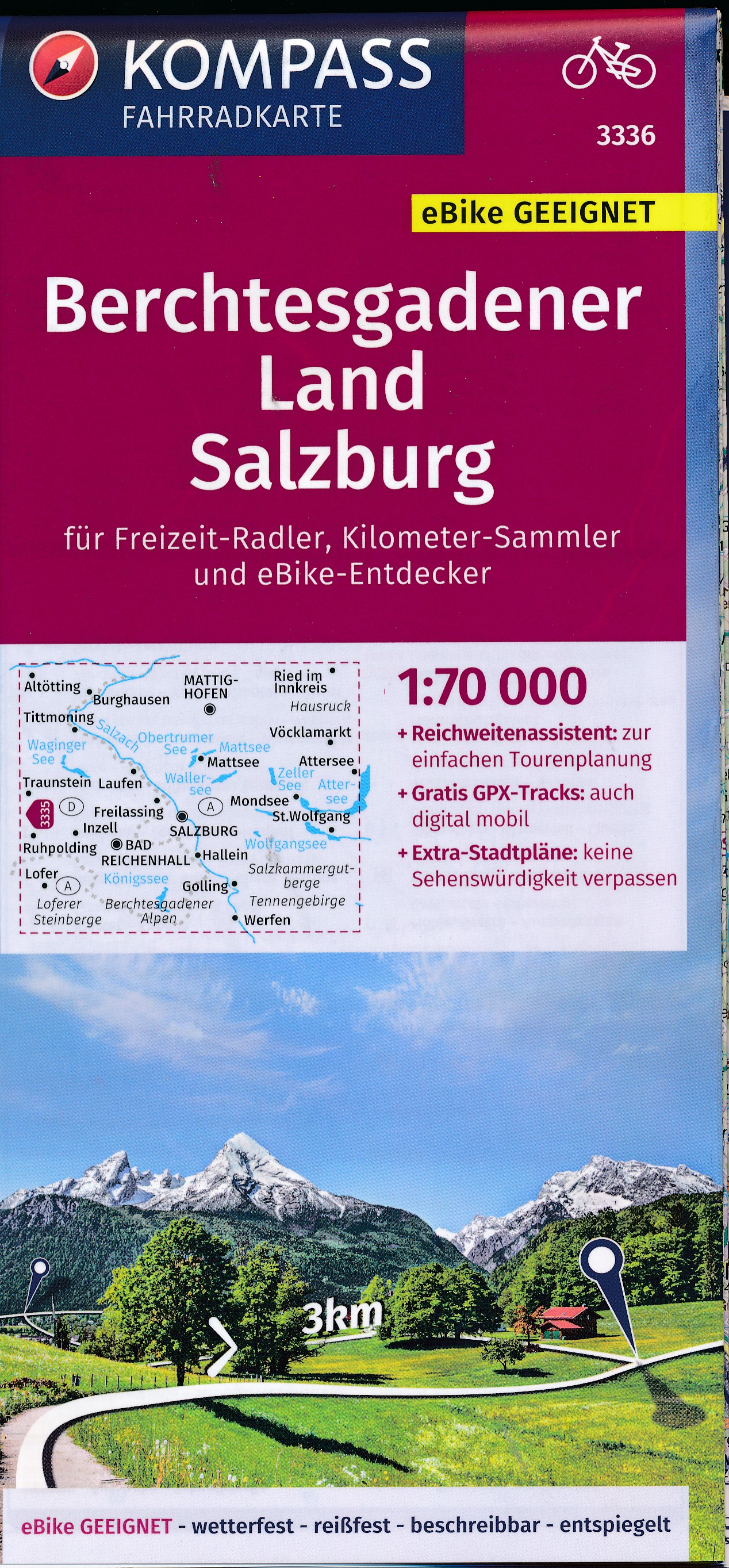
- Fietskaart 3336 Berchtesgadener Land - Salzburg | Kompass
- Die Fahrradkarte die alles kann, das bedeutet:- übersichtliche Kartografie, detailgenaue Infos zu Wegbeschaffenheit und Verkehrsbelastung- handliches Format – passend für den Radkartenhalter- Reichweitenassistenten: Reicht der E-Bike-Akku? Easy Touren-Planung mit dem KOMPASS-Reichweitenassistenten.- Steigungspfeile: Bergauf oder bergab? Die... Read more

Bol.com
Netherlands
Netherlands
- Rick Steves Pocket Munich & Salzburg (First Edition)
- Rick Steves Pocket guidebooks truly are a tour guide in your pocket. Each colorful, compact book includes Ricks advice for prioritizing your time, whether you're spending 1 or 7 days in a city. Everything a busy traveler needs is easy to access: a neighborhood overview, city walks and tours, sights, handy food and accommodations charts, an... Read more
- Also available from:
- Bol.com, Belgium
Bol.com
Belgium
Belgium
- Rick Steves Pocket Munich & Salzburg (First Edition)
- Rick Steves Pocket guidebooks truly are a tour guide in your pocket. Each colorful, compact book includes Ricks advice for prioritizing your time, whether you're spending 1 or 7 days in a city. Everything a busy traveler needs is easy to access: a neighborhood overview, city walks and tours, sights, handy food and accommodations charts, an... Read more

Bol.com
Netherlands
Netherlands
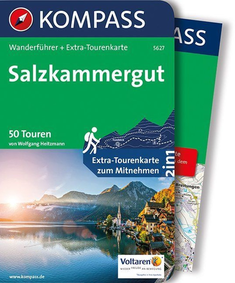
- WF5627 Salzkammergut Kompass
- . Praktische Tourenkarte im Maßstab 1:35000 zum Mitnehmen mit allen eingezeichneten Touren aus dem Wanderführer.. Icons im Farbbalken informieren über Schwierigkeitsgrad, Einkehrmöglichkeit, Kinderfreundlichkeit usw.. Informationen zu Ausgangspunkt, Charakter, Einkehr und Karte sind gleich zu Beginn jeder Tour übersichtlich zusammengefasst..... Read more
- Also available from:
- Bol.com, Belgium
Bol.com
Belgium
Belgium
- WF5627 Salzkammergut Kompass
- . Praktische Tourenkarte im Maßstab 1:35000 zum Mitnehmen mit allen eingezeichneten Touren aus dem Wanderführer.. Icons im Farbbalken informieren über Schwierigkeitsgrad, Einkehrmöglichkeit, Kinderfreundlichkeit usw.. Informationen zu Ausgangspunkt, Charakter, Einkehr und Karte sind gleich zu Beginn jeder Tour übersichtlich zusammengefasst..... Read more
Bol.com
Netherlands
Netherlands
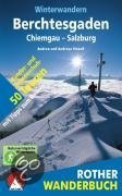
- Winterwandern Berchtesgaden - Chiemgau - Salzburg
- Verschneite Landschaft genießen, frische Winterluft schnuppern, in einer gemütlichen Alm einkehren, mit dem Schlitten ins Tal sausen, auch in der kalten Jahreszeit draußen in den Bergen sein - Winterwandern liegt nicht nur im Trend, es macht einfach Spaß!Die kompetenten Gebietskenner Andrea und Andreas Strauß stellen in diesem Rother Wanderbuch... Read more
- Also available from:
- Bol.com, Belgium
Bol.com
Belgium
Belgium
- Winterwandern Berchtesgaden - Chiemgau - Salzburg
- Verschneite Landschaft genießen, frische Winterluft schnuppern, in einer gemütlichen Alm einkehren, mit dem Schlitten ins Tal sausen, auch in der kalten Jahreszeit draußen in den Bergen sein - Winterwandern liegt nicht nur im Trend, es macht einfach Spaß!Die kompetenten Gebietskenner Andrea und Andreas Strauß stellen in diesem Rother Wanderbuch... Read more

Bol.com
Netherlands
Netherlands
- BergWelten
- "Armchair travelling" nennen die Engländer Reiseliteratur, und dieses Lesebuch lädt Sie auf eine sehr vergnügliche "Lesereise" in die weite Welt der Berge ein. Ihre Begleiter sind dabei deutschsprachige Top-JournalistInnen, deren Reportagen in renommierten Zeitungen und Magazinen wie "Die Zeit", "Süddeutsche Zeitung", "Frankfurter Allgemeine",... Read more
- Also available from:
- Bol.com, Belgium
Bol.com
Belgium
Belgium
- BergWelten
- "Armchair travelling" nennen die Engländer Reiseliteratur, und dieses Lesebuch lädt Sie auf eine sehr vergnügliche "Lesereise" in die weite Welt der Berge ein. Ihre Begleiter sind dabei deutschsprachige Top-JournalistInnen, deren Reportagen in renommierten Zeitungen und Magazinen wie "Die Zeit", "Süddeutsche Zeitung", "Frankfurter Allgemeine",... Read more

Bol.com
Netherlands
Netherlands
- Fodor's Vienna and the Best of Austria
- Written by local experts, Fodor's travel guides have been offering advice and professionally vetted recommendations for all tastes and budgets for 80 years.With its old-world charm, musical heritage, and alpine landscapes, Vienna and Austria offer choices for every traveler. Fodors Vienna and the Best of Austria captures the top experiences... Read more
- Also available from:
- Bol.com, Belgium
Bol.com
Belgium
Belgium
- Fodor's Vienna and the Best of Austria
- Written by local experts, Fodor's travel guides have been offering advice and professionally vetted recommendations for all tastes and budgets for 80 years.With its old-world charm, musical heritage, and alpine landscapes, Vienna and Austria offer choices for every traveler. Fodors Vienna and the Best of Austria captures the top experiences... Read more
De Zwerver
Netherlands
2021
Netherlands
2021
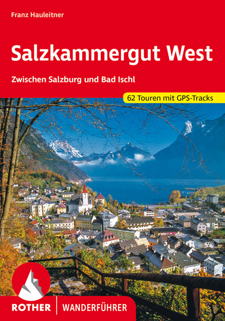
- Wandelgids Salzkammergut West | Rother Bergverlag
- Uitstekende wandelgids met een groot aantal dagtochten in dal en hooggebergte. Met praktische informatie en beperkt kaartmateriaal! Wandelingen in verschillende zwaarte weergegeven in rood/blauw/zwart Das Salzkammergut zählt zu den reizvollsten Urlaubsgebieten Europas. Wo sonst vereinen sich unterschiedliche Landschaftsformen zu einem so... Read more

De Zwerver
Netherlands
2022
Netherlands
2022

Bol.com
Netherlands
Netherlands
- Hiking in Switzerland
- This is the official guidebook to the Swiss section of the Via Alpina (National Route 1), published by the Swiss Hiking Federation. The Via Alpina is a network of five long-distance hiking routes which cross eight Alpine countries from Trieste to Monaco - over 5,000 kilometres of hiking trails in total. On Swiss soil, National Route 1 Via... Read more
- Also available from:
- Bol.com, Belgium
Bol.com
Belgium
Belgium
- Hiking in Switzerland
- This is the official guidebook to the Swiss section of the Via Alpina (National Route 1), published by the Swiss Hiking Federation. The Via Alpina is a network of five long-distance hiking routes which cross eight Alpine countries from Trieste to Monaco - over 5,000 kilometres of hiking trails in total. On Swiss soil, National Route 1 Via... Read more
Maps

Stanfords
United Kingdom
United Kingdom
- Styrian Winelands - Southwest Styria F&B WK411
- Styrian Winelands area south-eastern Austria presented at 1:50,000 in a series of contoured and GPS compatible outdoor leisure map from Freytag & Berndt with hiking and cycling routes, mountain huts, campsites and youth hostels, local bus stops, plus other tourist information. To see the list of currently available titles in this series please... Read more

Stanfords
United Kingdom
United Kingdom
- Mattsee - Wallersee - Irrsee - Fuschl - Mondsee - Oberndorf F&B WK391
- Mattsee - Wallersee - Irrsee - Fuschl - Mondsee - Oberndorf - Salzburg - Wolfgangsee area of the Austrian Alps presented at 1:50,000 in a series of contoured and GPS compatible outdoor leisure map from Freytag & Berndt with hiking and cycling routes, mountain huts, campsites and youth hostels, local bus stops, plus other tourist information. To... Read more

Stanfords
United Kingdom
United Kingdom
- Zell am See - Kaprun - Saalbach F&B WK382
- Zell-am-See - Kaprun - Saalbach area of the Austrian Alps presented at 1:50,000 in a series of contoured and GPS compatible outdoor leisure map from Freytag & Berndt with hiking and cycling routes, mountain huts, campsites and youth hostels, local bus stops, plus other tourist information. To see the list of currently available titles in this... Read more

Stanfords
United Kingdom
United Kingdom
- Mayrhofen - Zillertal Alps - Gerlos - Krimml - Tuxertal - Zell im Zillertal F&B WK152
- Mayrhofen - Zillertal Alps - Gerlos - Krimml - Tuxertal - Zell im Zillertal area of the Austrian Alps presented at 1:50,000 in a series of contoured and GPS compatible outdoor leisure map from Freytag & Berndt with hiking and cycling routes, mountain huts, campsites and youth hostels, local bus stops, plus other tourist information.To see the... Read more

Stanfords
United Kingdom
United Kingdom
- Attersee - Traunsee - Höllengebirge - Mondsee - Wolfgangsee F&B WK282
- Attersee - Traunsee - Höllengebirge - Mondsee - Wolfgangsee area of the Austrian Alps presented at 1:50,000 in a series of contoured and GPS compatible outdoor leisure map from Freytag & Berndt with hiking and cycling routes, mountain huts, campsites and youth hostels, local bus stops, plus other tourist information. To see the list of... Read more

Stanfords
United Kingdom
United Kingdom
- Hohe Wand - Schneebergland - Gutenstein Alps - Piestingtal - Lilienfeld F&B WK012
- Hohe Wand - Piestingtal - Triestingtal - Gölsental - Gutensteier Alpen – Lilienfeld area south-west of Vienna presented at 1:50,000 in a series of contoured and GPS compatible outdoor leisure map from Freytag & Berndt with hiking and cycling routes, mountain huts, campsites and youth hostels, local bus stops, plus other tourist information.To... Read more

Stanfords
United Kingdom
United Kingdom
- Gasteinertal - Wagrain - Raurisertal - Grossarltal F&B WK191
- Gasteiner Tal - Wagrain - Grossarltal - St. Johann im Pongau - Bad Hofgastein - Bad Gastein area of the Austrian Alps presented at 1:50,000 in a series of contoured and GPS compatible outdoor leisure map from Freytag & Berndt with hiking and cycling routes, mountain huts, campsites and youth hostels, local bus stops, plus other tourist... Read more

Stanfords
United Kingdom
United Kingdom
- Grossglockner - Sonnblick - Kaprun - Zell am See F&B WK120
- Grossglockner - Sonnblick - Kaprun - Zell am See area of the Austrian Alps presented at 1:50,000 in a series of contoured and GPS compatible outdoor leisure map from Freytag & Berndt with hiking and cycling routes, mountain huts, campsites and youth hostels, local bus stops, plus other tourist information.To see the list of currently available... Read more

Stanfords
United Kingdom
United Kingdom
- Goms - Aletsch
- Goms - Aletsch area of the Bernese Oberland at 1:50,000 in a series from Hallwag covering Switzerland’s popular hiking regions on light, waterproof and tear-resistant maps highlighting long-distance paths: the nine national routes plus special regional routes, as well as other local hiking trails.Cartography is similar to that used both in... Read more

The Book Depository
United Kingdom
United Kingdom
- Prespa - Vitsi - Voras
- Uitstekende topografische kaarten van een deel van Griekenland: zonder meer hele goede kaarten voor wandeltochten in een onbekend stuk Griekenland! Ze zijn gedrukt op scheurvast en watervast papier op een schaal van 1:50.000 met een UTM grid voor GPS gebruikers. Op de meeste kaarten is geven de hoogtelijnen een interval van 20m. aan. Met... Read more
- Also available from:
- De Zwerver, Netherlands

De Zwerver
Netherlands
Netherlands
- Wandelkaart 6.2 Prespa - Vitsi - Voras | Anavasi
- Uitstekende topografische kaarten van een deel van Griekenland: zonder meer hele goede kaarten voor wandeltochten in een onbekend stuk Griekenland! Ze zijn gedrukt op scheurvast en watervast papier op een schaal van 1:50.000 met een UTM grid voor GPS gebruikers. Op de meeste kaarten is geven de hoogtelijnen een interval van 20m. aan. Met... Read more

Stanfords
United Kingdom
United Kingdom
- Tennengebirge - Lammertal - Osternhorngruppe F&B WK392
- Tennengebirge - Lammertal - Osternhorngruppe area of the Austrian Alps presented at 1:50,000 in a series of contoured and GPS compatible outdoor leisure map from Freytag & Berndt with hiking and cycling routes, mountain huts, campsites and youth hostels, local bus stops, plus other tourist information. To see the list of currently available... Read more
- Also available from:
- The Book Depository, United Kingdom

The Book Depository
United Kingdom
United Kingdom
- Tennengebirge - Lammertal - Osterhorngruppe Hiking + Leisure Map 1:50 000
- Tennengebirge - Lammertal - Osternhorngruppe area of the Austrian Alps presented at 1:50,000 in a series of contoured and GPS compatible outdoor leisure map from Freytag & Berndt with hiking and cycling routes, mountain huts, campsites and youth hostels, local bus stops, plus other tourist information. To see the list of currently available... Read more

The Book Depository
United Kingdom
United Kingdom
- Fragokastelo - Plakias 2016
- Uitstekende topografische kaarten van een deel van Griekenland: zonder meer hele goede kaarten voor wandeltochten in een onbekend stuk Griekenland! Ze zijn gedrukt op scheurvast en watervast papier op een schaal van 1:25.000 met een UTM grid voor GPS gebruikers. Op de meeste kaarten is geven de hoogtelijnen een interval van 20m. aan. Met... Read more
- Also available from:
- De Zwerver, Netherlands

De Zwerver
Netherlands
Netherlands
- Wandelkaart 11.17 Frangokastelo - Plakias - Kreta | Anavasi
- Uitstekende topografische kaarten van een deel van Griekenland: zonder meer hele goede kaarten voor wandeltochten in een onbekend stuk Griekenland! Ze zijn gedrukt op scheurvast en watervast papier op een schaal van 1:25.000 met een UTM grid voor GPS gebruikers. Op de meeste kaarten is geven de hoogtelijnen een interval van 20m. aan. Met... Read more

The Book Depository
United Kingdom
United Kingdom
- Crete West
- Western Crete on a double-sided, contoured and GPS compatible map at 1:100,000 from Harms Verlag, with highlighting for numerous places of interest and 20 recommended hiking trails, plus street plans of central Heraklion, Rethymnon and Chania and a plan of the archaeological site at Knossos. All place names are in both Greek and Latin alphabet.... Read more
- Also available from:
- De Zwerver, Netherlands

De Zwerver
Netherlands
Netherlands
- Wandelkaart Kreta west | Harms IC Verlag
- Western Crete on a double-sided, contoured and GPS compatible map at 1:100,000 from Harms Verlag, with highlighting for numerous places of interest and 20 recommended hiking trails, plus street plans of central Heraklion, Rethymnon and Chania and a plan of the archaeological site at Knossos. All place names are in both Greek and Latin alphabet.... Read more

The Book Depository
United Kingdom
United Kingdom
- Exo Mani 2018
- Uitstekende wandelkaart op scheur- en watervast papier van het wandelgebied rond Kardamyli maar ook nog met Agios Nikolaos. De wandelpaden staan er op ingetekend, zo ook alle bezienswaardigheden als klooster, kastelen en meerdere opgravingen. Mani is the middle and southernmost peninsula of the Peloponnese and is split between Laconia and... Read more
- Also available from:
- De Zwerver, Netherlands

De Zwerver
Netherlands
Netherlands
- Wandelkaart 8.10 Exo Mani | Anavasi
- Uitstekende wandelkaart op scheur- en watervast papier van het wandelgebied rond Kardamyli maar ook nog met Agios Nikolaos. De wandelpaden staan er op ingetekend, zo ook alle bezienswaardigheden als klooster, kastelen en meerdere opgravingen. Mani is the middle and southernmost peninsula of the Peloponnese and is split between Laconia and... Read more

Stanfords
United Kingdom
United Kingdom
- Dachstein - Ausseerland - Filzmoos - Ramsau F&B WK281
- Dachstein - Ausseer Land - Filzmoos - Ramsau - Bad Ischl - Schladming area of the Austrian Alps presented at 1:50,000 in a series of contoured and GPS compatible outdoor leisure map from Freytag & Berndt with hiking and cycling routes, mountain huts, campsites and youth hostels, local bus stops, plus other tourist information. To see the list... Read more
- Also available from:
- The Book Depository, United Kingdom

The Book Depository
United Kingdom
United Kingdom
- Dachstein - Ausseerland - Filzmoos - Ramsau Hiking + Leisure Map 1:50 000
- Dachstein - Ausseer Land - Filzmoos - Ramsau - Bad Ischl - Schladming area of the Austrian Alps presented at 1:50,000 in a series of contoured and GPS compatible outdoor leisure map from Freytag & Berndt with hiking and cycling routes, mountain huts, campsites and youth hostels, local bus stops, plus other tourist information. To see the list... Read more