
Waterford
Description

County Waterford has a pleasant landscape of rolling hills and rich with trees. It borders on Ireland’s south coast. It has some hill areas too: the Knockmealdown Mountains and the Comeragh Mountains. The East Munster Way runs from west to east through Waterford.
Trails in this state
Links
Facts
Reports
Guides and maps
Lodging
Organisations
Tour operators
GPS
Other
Books

- Also available from:
- De Zwerver, Netherlands
De Zwerver
Netherlands
Netherlands

- Also available from:
- De Zwerver, Netherlands

- Also available from:
- De Zwerver, Netherlands
De Zwerver
Netherlands
Netherlands


The Book Depository
United Kingdom
United Kingdom
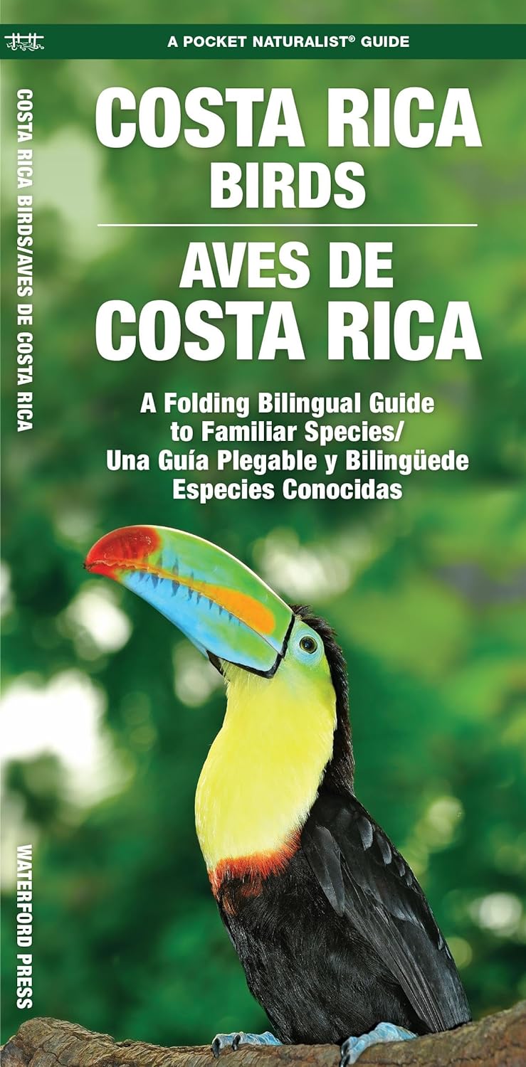
- New Guinea Birds
- A Folding Pocket Guide to Familiar Species Read more
De Zwerver
Netherlands
2010
Netherlands
2010
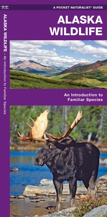
- Vogelgids - Natuurgids Alaska Wildlife An introduction to familiar species | Waterford Press
- Een bijzonder handige uitklapkaart met alle veelvoorkomende dieren van Alaska. Duidelijke illustraties, goede korte omschrijving van soort en leefgebied, geplastificeerd. Alaska Wildlife is the perfect pocket-sized, folding guide for the nature enthusiast. This beautifully illustrated guide highlights over 140 familiar species of birds,... Read more
De Zwerver
Netherlands
2003
Netherlands
2003
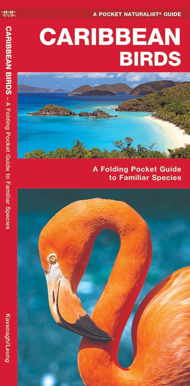
- Vogelgids - Natuurgids Caribbean Birds | Waterford Press
- Caribbean Birds is a pocket-sized, folding guide highlighting the most commonly seen birds in the Caribbean Islands. Laminated for durability, these handy guides are a great source of portable information for the vacationer or the avian enthusiast. A map of the Caribbean Islands on the back cover, completes this essential guide. Ideal for bird... Read more

De Zwerver
Netherlands
Netherlands
- Natuurgids India Wildlife | Waterford Press
- Handige uitklapkaart met een behoorlijk aantal dieren uit alle familie-groepen. Goede plaatjes zorgen voor de mogelijkheid van een snelle identificatie. India’s diverse habitats harbor an equally diverse assemblage of wildlife ranging from tigers and lions, to elephants, rhinos and flying lizards. This beautifully illustrated guide highlights... Read more
Bol.com
Netherlands
Netherlands
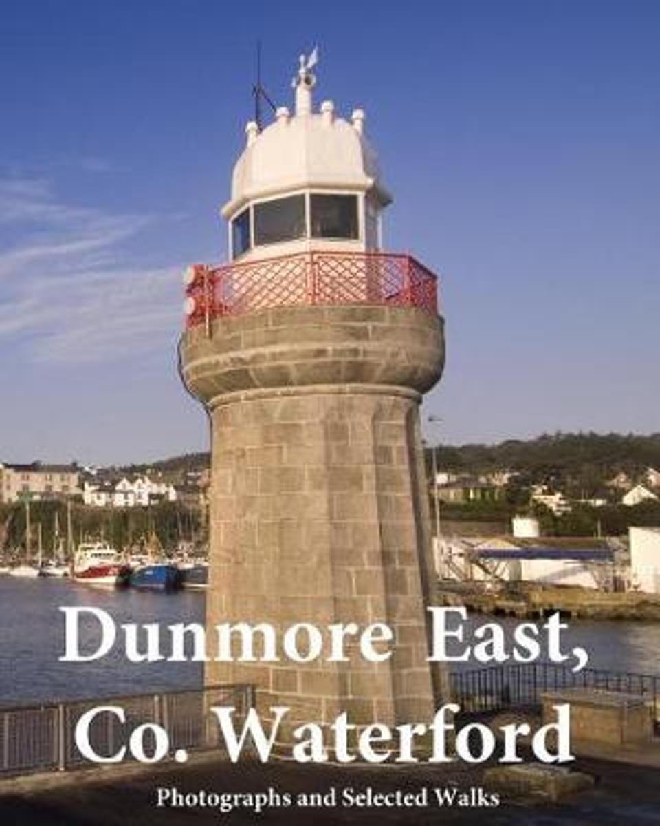
- Dunmore East, Co. Waterford
- DUNMORE EAST, CO. WATERFORD ( Black & White Edition)The Story of Dunmore EastAs far back as the Iron Age people established a promontory fort overlooking the sea at Shanoon (referred to in 1832 as meaning the 'Old Camp' but more likely Canon Power's Sean Uaimh, 'Old Cave') at a point known for centuries as Black Nobb, where the old pilot... Read more
- Also available from:
- Bol.com, Belgium
Bol.com
Belgium
Belgium
- Dunmore East, Co. Waterford
- DUNMORE EAST, CO. WATERFORD ( Black & White Edition)The Story of Dunmore EastAs far back as the Iron Age people established a promontory fort overlooking the sea at Shanoon (referred to in 1832 as meaning the 'Old Camp' but more likely Canon Power's Sean Uaimh, 'Old Cave') at a point known for centuries as Black Nobb, where the old pilot... Read more
De Zwerver
Netherlands
Netherlands
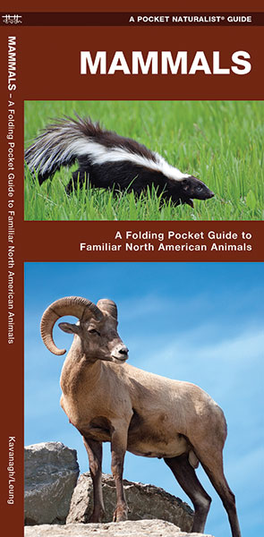
- Natuurgids Mammals : An Introduction to Familiar North American Species | Waterford Press
- Een bijzonder handige uitklapkaart met alle veelvoorkomende zoogdieren van Amerika. Duidelijke illustraties, goede korte omschrijving van soort en leefgebied, geplastificeerd. The Pocket Naturalist series introduces novices to common plants and animals and natural phenomena. Each pocket-sized, folding guide highlights up to 150 species and most... Read more
Bol.com
Netherlands
Netherlands
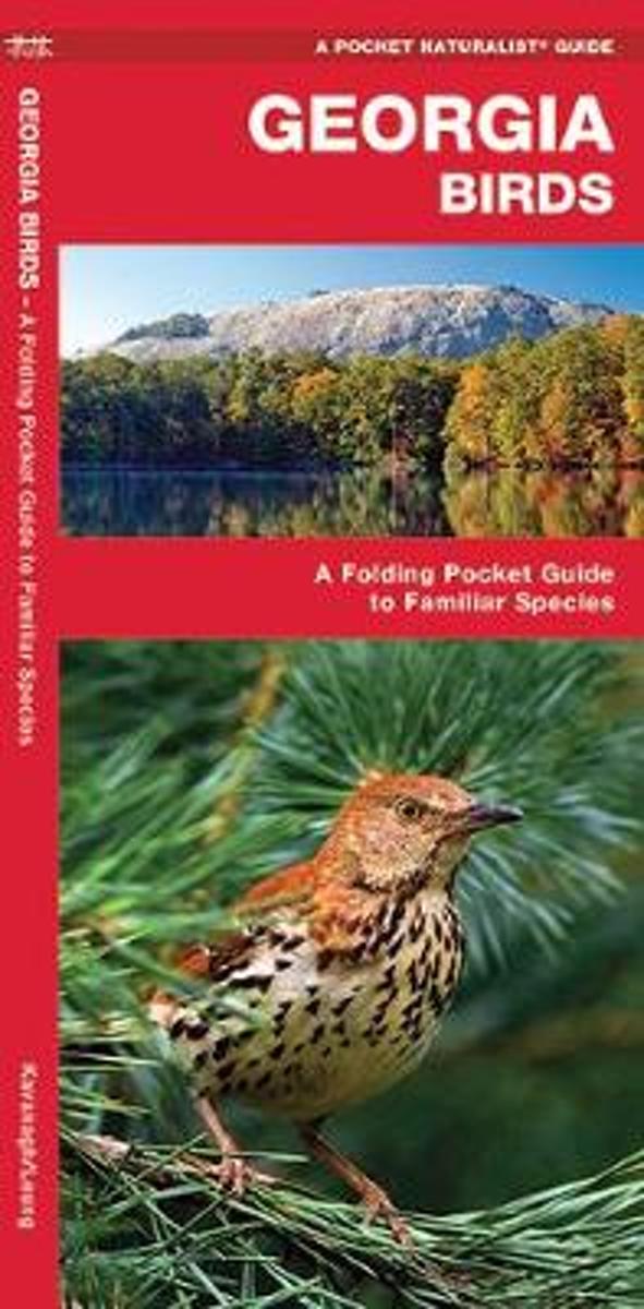
- Georgia Birds
- With mountains in her north and river swamps in her south, Georgia provides diverse habitat for almost 350 species of bird. Georgia Birds will help to identify over 140 familiar species with beautiful detailed illustrations. Created and printed in the USA, this guide was updated in 2012 with a new cover design and a back panel map highlighting... Read more
- Also available from:
- Bol.com, Belgium
Bol.com
Belgium
Belgium
- Georgia Birds
- With mountains in her north and river swamps in her south, Georgia provides diverse habitat for almost 350 species of bird. Georgia Birds will help to identify over 140 familiar species with beautiful detailed illustrations. Created and printed in the USA, this guide was updated in 2012 with a new cover design and a back panel map highlighting... Read more

Bol.com
Netherlands
Netherlands
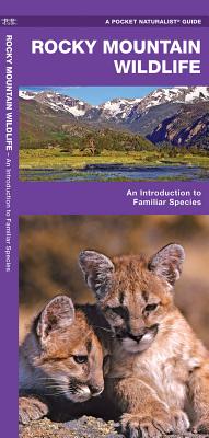
- Rocky Mountain Wildlife
- The Rocky Mountains straddle the Western Continental Divide and have a range of elevations as well as wet and dry areas, providing a diversity of habitat for wildlife. Rocky Mountain Wildlife is the ideal pocket-sized, folding guide for the eco-tourist or wilderness expert. This beautifully illustrated guide highlights over 140 familiar species... Read more
- Also available from:
- Bol.com, Belgium
- De Zwerver, Netherlands
Bol.com
Belgium
Belgium
- Rocky Mountain Wildlife
- The Rocky Mountains straddle the Western Continental Divide and have a range of elevations as well as wet and dry areas, providing a diversity of habitat for wildlife. Rocky Mountain Wildlife is the ideal pocket-sized, folding guide for the eco-tourist or wilderness expert. This beautifully illustrated guide highlights over 140 familiar species... Read more
De Zwerver
Netherlands
Netherlands
- Vogelgids - Natuurgids Rocky Mountain Wildlife | Waterford Press
- Een bijzonder handige uitklapkaart met alle veelvoorkomende dieren van de Rocky Mountains. Duidelijke illustraties, goede korte omschrijving van soort en leefgebied, geplastificeerd. Perfect for nature enthusiasts, this informative reference describes more than 140 species of birds, mammals, reptiles, amphibians, and fishes found in the Rocky... Read more
More books…
Maps
- Also available from:
- De Zwerver, Netherlands
De Zwerver
Netherlands
Netherlands
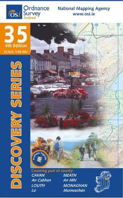
- Topografische kaart - Wandelkaart 35 Discovery Cavan, Louth, Meath, Monaghan | Ordnance Survey Ireland
- Map No. 35, Cavan East - Meath North in the Discovery series from the OSI, the Ordnance Survey of Ireland, which presents the country on detailed topographic maps at 1:50,000, with additional overprint highlighting campsites and caravan parks, youth hostels, etc. Current 3rd edition of this map was published in December 2011.Maps in the... Read more

The Book Depository
United Kingdom
United Kingdom
- Waterford
- Map No. 82, Waterford South-East in the Discovery series from the OSI, the Ordnance Survey of Ireland, which presents the country on detailed topographic maps at 1:50,000, with additional overprint highlighting campsites and caravan parks, youth hostels, etc. Current 3rd edition of this map was published in January 2012.Maps in the Discovery... Read more

The Book Depository
United Kingdom
United Kingdom
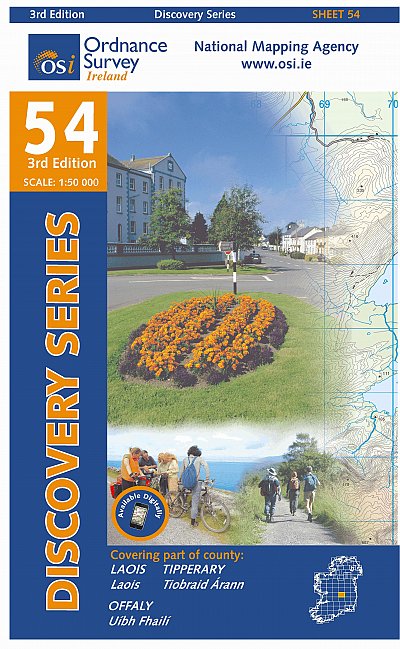
- Laois, Offlay, Tipperary
- Map No. 54, Laois North West in the Discovery series from the OSI, the Ordnance Survey of Ireland, which presents the country on detailed topographic maps at 1:50,000, with additional overprint highlighting campsites and caravan parks, youth hostels, etc. Current 3rd edition of this map was published in October 2011.Maps in the Discovery series... Read more

The Book Depository
United Kingdom
United Kingdom
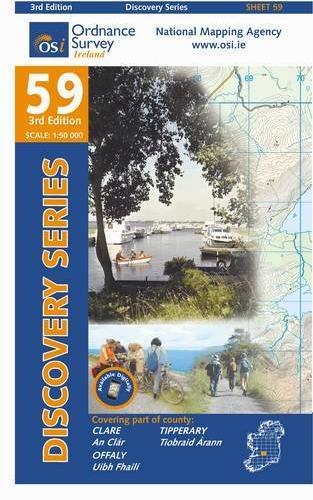
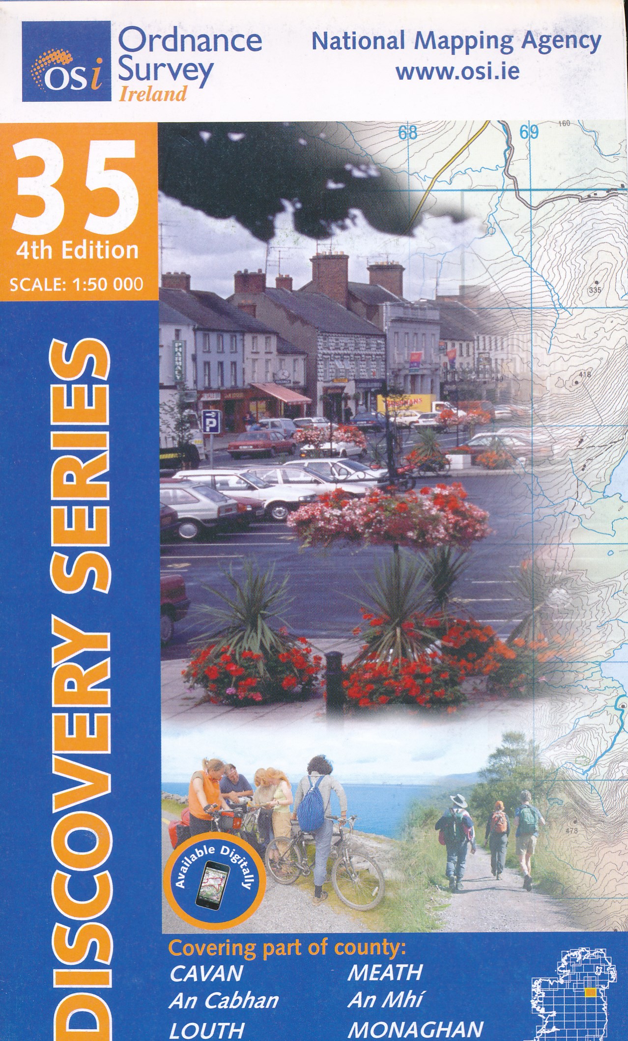
- Kilkenny, Laois, Tipperary
- Map No. 60, Kilkenny North - Laois South in the Discovery series from the OSI, the Ordnance Survey of Ireland, which presents the country on detailed topographic maps at 1:50,000, with additional overprint highlighting campsites and caravan parks, youth hostels, etc. Current 3rd edition of this map was published in October 2011.Maps in the... Read more
- Also available from:
- De Zwerver, Netherlands
De Zwerver
Netherlands
Netherlands
- Topografische kaart - Wandelkaart 60 Discovery Kilkenny, Laois, Tipperary | Ordnance Survey Ireland
- Map No. 60, Kilkenny North - Laois South in the Discovery series from the OSI, the Ordnance Survey of Ireland, which presents the country on detailed topographic maps at 1:50,000, with additional overprint highlighting campsites and caravan parks, youth hostels, etc. Current 3rd edition of this map was published in October 2011.Maps in the... Read more
De Zwerver
Netherlands
Netherlands
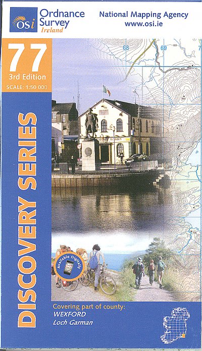
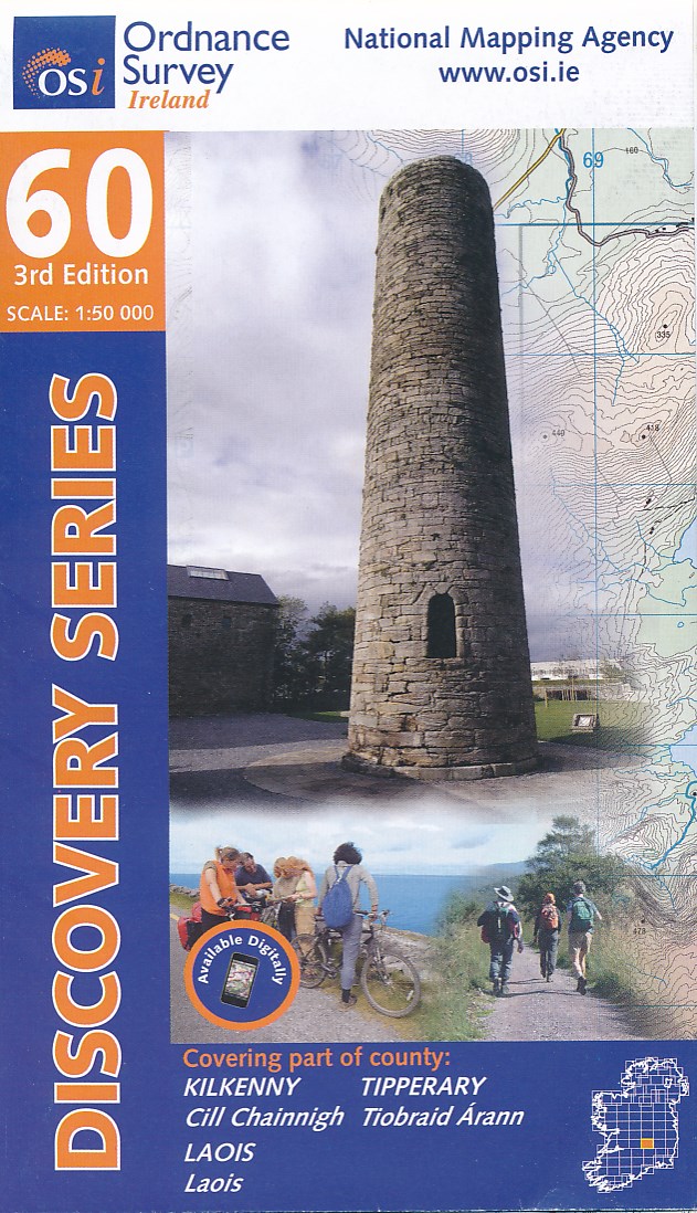
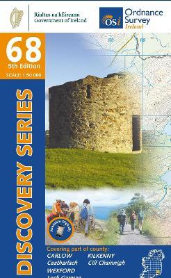
- Topografische kaart - Wandelkaart 69 Discovery Wexford | Ordnance Survey Ireland
- Map No. 69, Wexford Central in the Discovery series from the OSI, the Ordnance Survey of Ireland, which presents the country on detailed topographic maps at 1:50,000, with additional overprint highlighting campsites and caravan parks, youth hostels, etc. Current 4th edition of this map was published in January 2013.Maps in the Discovery series... Read more

De Zwerver
Netherlands
Netherlands
- Wandelkaart 6 Pirin gebergte | Domino
- Pirin Mountains at 1:50,000 on a large, double-sided, contoured map with GPS waypoints for shelters and chalets, peaks, etc. and highlighting hiking routes. Topography is shown by contours at 40m intervals with additional relief shading and graphics and colouring for sandstone stacks, single rocks over 5m high, marshlands and different types of... Read more
De Zwerver
Netherlands
Netherlands
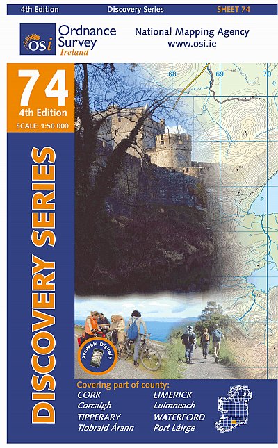
- Topografische kaart - Wandelkaart 74 Discovery Cork, Limerick, Tipperary, Waterford | Ordnance Survey Ireland
- Zeer gedetailleerde topografische kaart met een aantal toegevoegde toeristische symbolen voor bijv. bezienswaardigheden, campings en jeugdherbergen. Met hoogtelijnen, mooi kleurgebruik en ingetekende lange-afstands-wandelroutes. Op deze kaart zijn de nationale parken en de 'national reserves ' uitstekend te vinden. De kaart is dus zowel voor de... Read more
De Zwerver
Netherlands
Netherlands
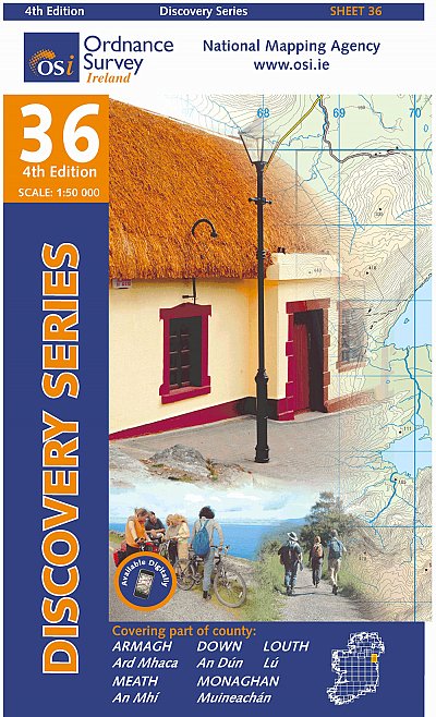
- Topografische kaart - Wandelkaart 36 Discovery Armagh, Down, Louth, Meath, Monaghan | Ordnance Survey Ireland
- Map No. 36, Louth in the Discovery series from the OSI, the Ordnance Survey of Ireland, which presents the country on detailed topographic maps at 1:50,000, with additional overprint highlighting campsites and caravan parks, youth hostels, etc. Current 4th edition of this title was published in February 2013.Maps in the Discovery series have... Read more

De Zwerver
Netherlands
Netherlands
- Wandelkaart - Wegenkaart - landkaart 7 Westelijke Rhodopen - Western Rhodopes | Domino
- Western Rhodope Mountains at 1:100,000 on a contoured GPS compatible map from Domino extending from just west of the Pirin National Park to Asenovgrad in the north-east. The map is double-sided with a good overlap between the sides. Topography is shown by contours at 50m intervals with relief shading and spot heights, plus colouring for... Read more
De Zwerver
Netherlands
Netherlands
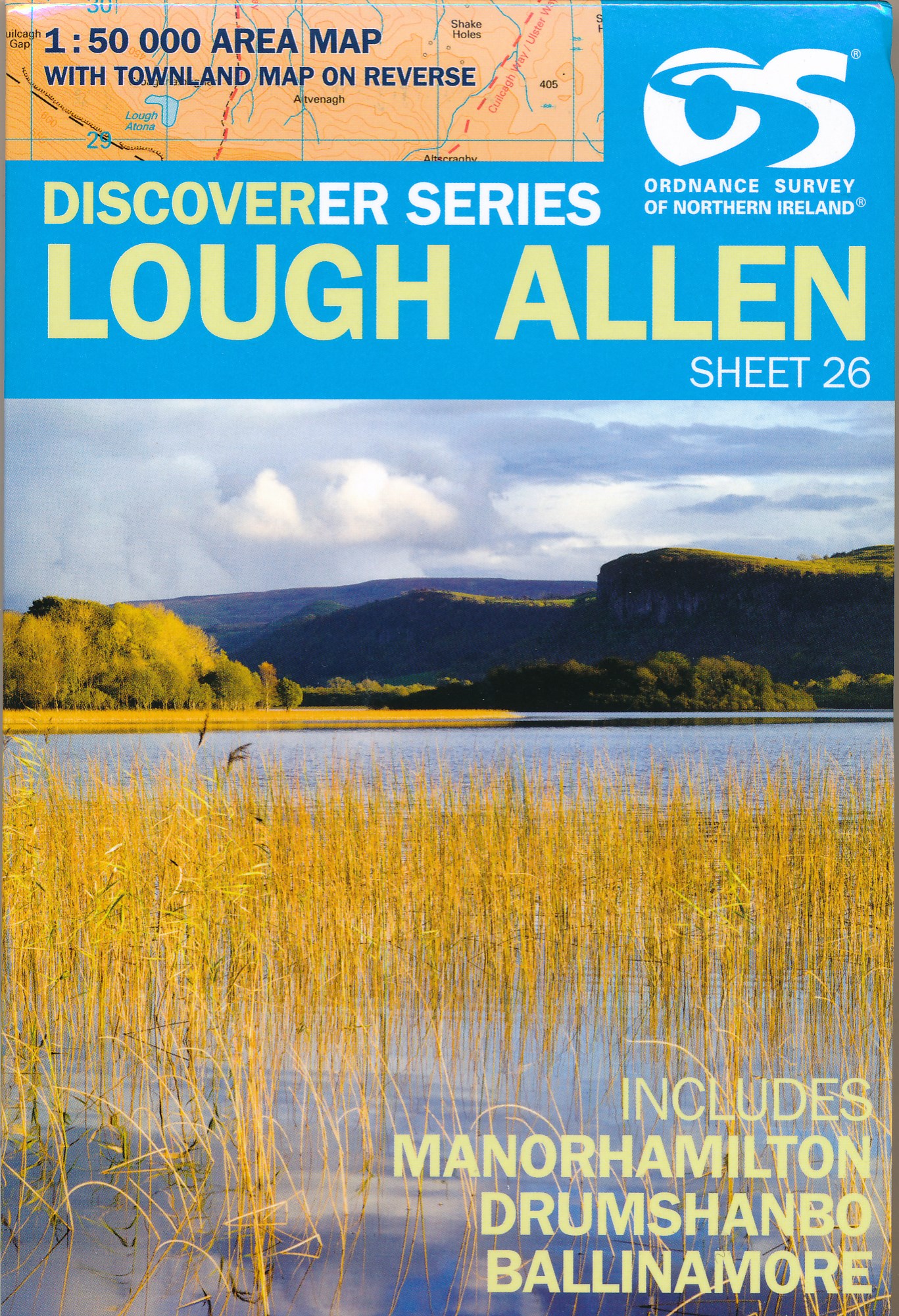
- Wandelkaart 26 Discoverer Lough Allen | Ordnance Survey Northern Ireland
- Zeer gedetailleerde topografische kaart met een aantal toegevoegde toeristische symbolen voor bijv. bezienswaardigheden, campings en jeugdherbergen. Met hoogtelijnen, mooi kleurgebruik en ingetekende lange-afstands-wandelroutes. Op deze kaart zijn de nationale parken en de 'national reserves ' uitstekend te vinden. De kaart is dus zowel voor de... Read more

De Zwerver
Netherlands
Netherlands
- Wandelkaart 1 Stara Planina gebergte | Domino
- Stara Planina Central: Zlatitsa to Kalofer map at 1:50,000 from Bulgarian publishers Domino, contoured and GPS compatible, with hiking trails, accommodation options including a list of local mountain refuges, etc. The map is double-sided and covers the mountains from just west of Ribaritsa and Zlatitsa eastwards beyond Kalofer to the peak of... Read more