Toscana
Description
Famous and picturesque region between Florence (Firenze) and Sienna.
Trails in this region
Links
Facts
Reports
Guides and maps
Lodging
Organisations
Tour operators
GPS
Other
Books

Stanfords
United Kingdom
2005
United Kingdom
2005
- Walking and Eating in Tuscany & Umbria
- In Walking and Eating in Tuscany and Umbria, James Lasdun and Pia Davis offer forty walks through the spectacular countryside of both regions. Arranged for the utmost flexibility the guide includes half-day outings easily accessible from a city base to day walks that can be linked together in a series. These itineraries are designed to combine... Read more

Stanfords
United Kingdom
United Kingdom
- Tuscany Marco Polo Spiral Guide
- Tuscany in the Marco Polo Spiral Guides series is a practical guide presenting the most important things to see and do in the region in a nutshell, and aimed at travellers who don’t have a lot of time to prepare and research for a trip. The guide highlights the top 10 sights, suggests tours and great ideas for exciting days out, and features... Read more

Stanfords
United Kingdom
United Kingdom
- Rick Steves Pocket Florence (fourth Edition)
- Make the most of every day and every dollar with Rick Steves! This colorful, compact guidebook is perfect for spending a week or less in Florence: City walks and tours: Five detailed tours and walks showcase Florence`s essential sights, including the Uffizi Gallery, the Duomo, and Michelangelo`s David at the Accademia, plus handy neighborhood... Read more

Stanfords
United Kingdom
2021
United Kingdom
2021
- DK Eyewitness Florence and Tuscany
- Divine cuisine and spectacular art await in Florence and TuscanyWhether you want to sample delicious Tuscan food and wine, gaze at the iconic Leaning Tower of Pisa or browse eclectic markets in Florence, your DK Eyewitness travel guide makes sure you experience all that this region has to offer.The birthplace of the Renaissance, Florence is... Read more

Stanfords
United Kingdom
2018
United Kingdom
2018
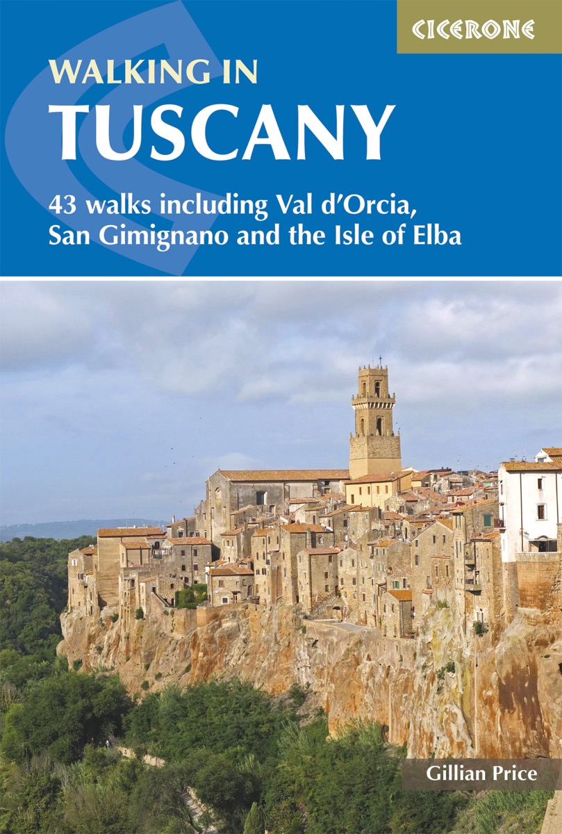
- Walking in Tuscany
- A guidebook to walks in the Italian region of Tuscany. 43 graded routes range from 2.5 to 18km, and take in the Renaissance splendour of Florence and Siena, the World Heritage scenery of Val d`Orcia and San Gimignano and the stunning island of Elba. Alongside detailed route descriptions and clear mapping there is essential practical information... Read more
- Also available from:
- The Book Depository, United Kingdom
- De Zwerver, Netherlands

The Book Depository
United Kingdom
2018
United Kingdom
2018
- Walking in Tuscany
- 43 walks including Val d'Orcia, San Gimignano and the Isle of Elba Read more
De Zwerver
Netherlands
2018
Netherlands
2018
- Wandelgids Walking in Tuscany - Toscane | Cicerone
- Guidebook to 43 graded, mostly easy walks in Tuscany. Taking in the Renaissance splendour of Florence and Siena, the World Heritage scenery of Val d'Orcia and San Gimignano and the stunning island of Elba, the routes use historical pathways used by traders, pilgrims and armies, and include some brief, trouble-free climbs/descents. Read more

Stanfords
United Kingdom
2019
United Kingdom
2019
- Walking in Umbria: 40 walks in the `Green Heart` of Italy
- This guidebook by Italian walking expert Gillian Price describes 40 varied day walks in the region of Umbria, taking in the towns of Assisi, Perugia, Orvieto and Norcia. The walks range from 2.5km to 19km in length, the majority of the routes are circular, and several wonderful traverses have been included, with the return to the start point... Read more
- Also available from:
- The Book Depository, United Kingdom
- De Zwerver, Netherlands

The Book Depository
United Kingdom
2019
United Kingdom
2019
- Walking in Umbria
- 40 walks in the 'Green Heart' of Italy Read more

De Zwerver
Netherlands
2019
Netherlands
2019
- Wandelgids Walking in Umbria - Umbrië | Cicerone
- This guidebook describes 40 walks in Umbria, among the ancient towns of Assisi, Perugia, Orvieto and Norcia. Known as the 'green heart' of Italy, the region of Umbria is home to hills reaching up to the Apennines and Sibillini mountains, as well as ancient villages, Roman and Etruscan ruins, dense woodland and nature reserves. Read more

Stanfords
United Kingdom
2018
United Kingdom
2018
- Tuscany Sunflower Landscape Guide
- This book features walks and car tours from Carrara marble quarries in the northwest down to southern Tuscany, with particular emphasis on the countryside around Florence and in the Chianti. While the region`s historic towns and architectural highlights are often focal points for these excursions, the role of the Tuscan peasant in creating this... Read more
- Also available from:
- The Book Depository, United Kingdom
- De Zwerver, Netherlands


Stanfords
United Kingdom
2021
United Kingdom
2021
- Lonely Planet Best Day Walks Italy
- Lonely Planet`s Best Day Walks Italy is your passport to 60 easy escapes into nature. Stretch your legs outside the city by picking a hike that works for you, from just a couple of hours to a full day, from easy to hard. Hike the Dolomites, explore the Italian Lakes, and stroll Sardinia`s coast. Get to the heart of Italy and begin your journey... Read more
- Also available from:
- The Book Depository, United Kingdom
- De Zwerver, Netherlands


De Zwerver
Netherlands
2012
Netherlands
2012
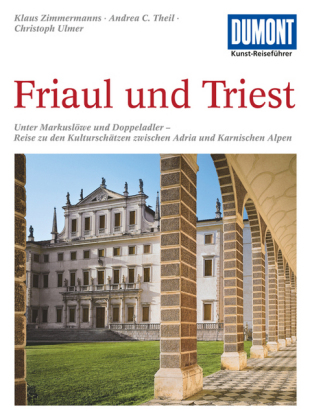
- Reisgids Kunstreiseführer Friaul und Triest | Dumont
- Das Thema dieses Kunst-Reiseführers ist die italienische Region Friaul- Julisch Venetien. Sie besteht aus zwei Provinzen, von denen das Friaul die weitaus größere ist. Julisch Venetien dagegen umfasst seit 1954 nur noch die Stadt Triest und einen kleinen Küstenstreifen bis Muggia. Wie ein Amphitheater liegt das Friaul im äußersten Nordosten... Read more
De Zwerver
Netherlands
Netherlands
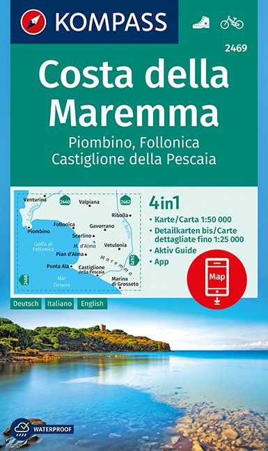
- Wandelkaart 2469 Costa della Maremma | Kompass
- Die GPS-genauen KOMPASS Karten sind ideal für Ihre nächste Tour! Der lesefreundliche Maßstab und nützliche Informationen über die Region erleichtern Ihre Planung.IT Read more
Bol.com
Netherlands
2016
Netherlands
2016
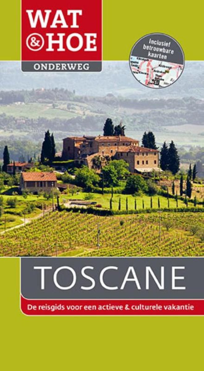
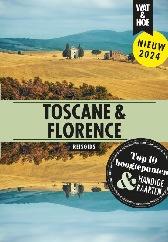
- Wat & Hoe Onderweg - Toscane
- Wat & Hoe Onderweg Toscane is de reisgids voor een actieve en culturele vakantie. Deze gids bevat uitgebreide plattegronden, kaarten en verrassende wandeltochten. Toscane verleidt je met zijn glooiende heuvels, steden en tijdloze landschap. De oude wijngaarden, knoestige olijfbomen en cipressen vormen een van de mooiste landschappen van Italië.... Read more
- Also available from:
- Bol.com, Belgium
Bol.com
Belgium
2016
Belgium
2016
- Wat & Hoe Onderweg - Toscane
- Wat & Hoe Onderweg Toscane is de reisgids voor een actieve en culturele vakantie. Deze gids bevat uitgebreide plattegronden, kaarten en verrassende wandeltochten. Toscane verleidt je met zijn glooiende heuvels, steden en tijdloze landschap. De oude wijngaarden, knoestige olijfbomen en cipressen vormen een van de mooiste landschappen van Italië.... Read more

Stanfords
United Kingdom
2021
United Kingdom
2021
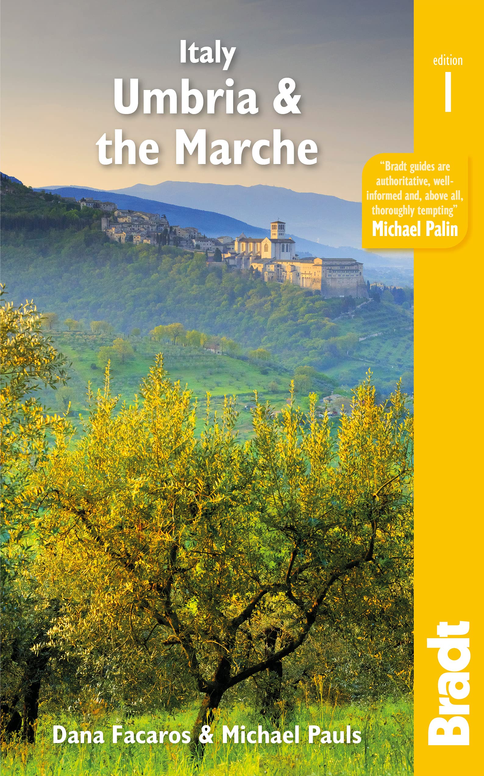
- Italy: Umbria & The Marches
- Bradt`s Umbria & the Marche is the most detailed guide to combine these two small central Italian regions, which offer all the beauty, history and culture of neighbouring Tuscany only without the crowds, the traffic or eye-popping prices. Dana Facaros and Michael Pauls (authors of the original Cadogan guide to the area) lived in Umbria in the... Read more
- Also available from:
- De Zwerver, Netherlands
De Zwerver
Netherlands
2021
Netherlands
2021
- Reisgids Italy: Umbria and the Marches | Bradt Travel Guides
- Bradt`s Umbria & the Marche is the most detailed guide to combine these two small central Italian regions, which offer all the beauty, history and culture of neighbouring Tuscany only without the crowds, the traffic or eye-popping prices. Dana Facaros and Michael Pauls (authors of the original Cadogan guide to the area) lived in Umbria in the... Read more
De Zwerver
Netherlands
2017
Netherlands
2017
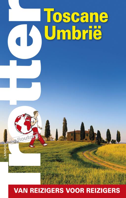
- Reisgids Trotter Toscane Umbrië | Lannoo
- Veel aandacht voor praktische informatie als hotels en restaurants, maar ook, soms wat beperkte beschrijvingen van bezienswaardigheden. Handig zijn de vele plattegronden: verrassend en verfrissend geschreven! -De no-nonsensegids voor een allesomvattende trip - Praktische en overzichtelijke gids voor de zelfstandige reiziger die weet wat hij... Read more
More books…
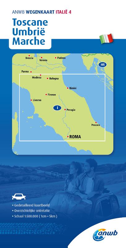
Maps

Stanfords
United Kingdom
United Kingdom
- Chianti - Val di Pesa - Val d`Elsa Edizioni Multigraphic 512
- Chianti Classico: Val di Pesa - Val d`Elsa at 1:25,000 in a series of hiking maps from Edizioni Multigraphic covering Tuscany, parts of Umbria, and the adjoining areas. The cartography is rather old fashioned and sometimes not as clear as in the other map series but for many areas, especially for parts of Tuscany, these are the only hiking maps... Read more

Stanfords
United Kingdom
United Kingdom
- Chianti - Florence to Siena Edizioni Multigraphic 522
- Chianti from Florence to Siena at 1:50,000 in a series of hiking maps from Edizioni Multigraphic covering Tuscany, parts of Umbria, and the adjoining areas. The cartography is rather old fashioned and sometimes not as clear as in the other map series but for many areas, especially for parts of Tuscany, these are the only hiking maps available.... Read more
Stanfords
United Kingdom
United Kingdom
- San Gimignano - Colle Val d`Elsa - Poggibonsi Edizioni Multigraphic 511
- San Gimignano - Colle Val d`Elsa – Poggibonsi area at 1:25,000 in a series of hiking maps from Edizioni Multigraphic covering Tuscany, parts of Umbria, and the adjoining areas. The cartography is rather old fashioned and sometimes not as clear as in the other map series but for many areas, especially for parts of Tuscany, these are the only... Read more

Stanfords
United Kingdom
United Kingdom
- Garfagnana Edizioni Multigraphic 701
- Garfagnana at 1:50,000 in a series of hiking maps from Edizioni Multigraphic covering Tuscany, parts of Umbria, and the adjoining areas. The cartography is rather old fashioned and sometimes not as clear as in the other map series but for many areas, especially for parts of Tuscany, these are the only hiking maps available. Most maps have... Read more

Stanfords
United Kingdom
United Kingdom
- Crete Senesi 2 - Crete Senesi 25K Ed. Multigraphic Map No. 518
- Crete Senesi 2 - Crete Senesi at 1:25,000 in a series of hiking maps from Edizioni Multigraphic covering Tuscany, parts of Umbria, and the adjoining areas. The cartography is rather old fashioned and sometimes not as clear as in the other map series but for many areas, especially for parts of Tuscany, these are the only hiking maps available.... Read more

Stanfords
United Kingdom
United Kingdom
- Volterra and its Environs Edizioni Multigraphic 513
- Volterra and its environs at 1:25,000 in a series of hiking maps from Edizioni Multigraphic covering Tuscany, parts of Umbria, and the adjoining areas. The cartography is rather old fashioned and sometimes not as clear as in the other map series but for many areas, especially for parts of Tuscany, these are the only hiking maps available. Most... Read more

Stanfords
United Kingdom
United Kingdom
- Gruppi Argentera e Marguareis Edizioni Multigraphic 109/115
- Gruppi Argentera e Marguareis, map no. 109/115 at 1:25,000 from Edizioni Multigraphic covering the Italian Alps along the southern part of the border between Piedmont and France, south of Cuneo. Coverage includes the Pallanfre Reserve, Colle di Tenda / Col de Tende, and Parco Naturale Valle Pesio. Map corners give latitude and longitude based... Read more

Stanfords
United Kingdom
United Kingdom
- Siena and Crete - Senesi West Edizioni Multigraphic 517
- Crete Senesi 1 - Val d`Arbia at 1:25,000 in a series of hiking maps from Edizioni Multigraphic covering Tuscany, parts of Umbria, and the adjoining areas. The cartography is rather old fashioned and sometimes not as clear as in the other map series but for many areas, especially for parts of Tuscany, these are the only hiking maps available.... Read more
Bol.com
Netherlands
Netherlands
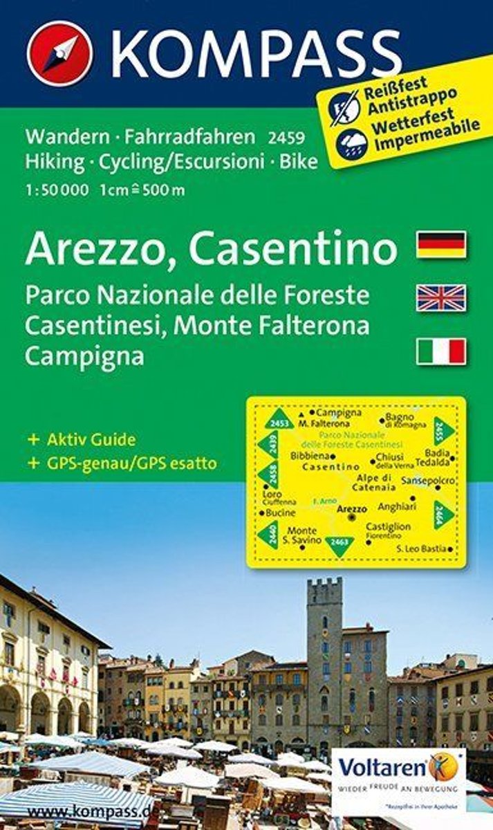
- Arezzo, Casentino WK 2459
- Deze kaart is ideaal voor het uitstippelen van wandel- en fietsroutes en om onderweg te gebruiken • goed leesbare kaart met heel veel topografische details • duidelijke symbolen maken de kaart extra overzichtelijk • wandel- en fietsroutes zijn aangegeven • praktische informatie over de regio • bruikbaar met GPS • nuttige informatie voor... Read more
- Also available from:
- Bol.com, Belgium
Bol.com
Belgium
Belgium
- Arezzo, Casentino WK 2459
- Deze kaart is ideaal voor het uitstippelen van wandel- en fietsroutes en om onderweg te gebruiken • goed leesbare kaart met heel veel topografische details • duidelijke symbolen maken de kaart extra overzichtelijk • wandel- en fietsroutes zijn aangegeven • praktische informatie over de regio • bruikbaar met GPS • nuttige informatie voor... Read more
De Zwerver
Netherlands
Netherlands
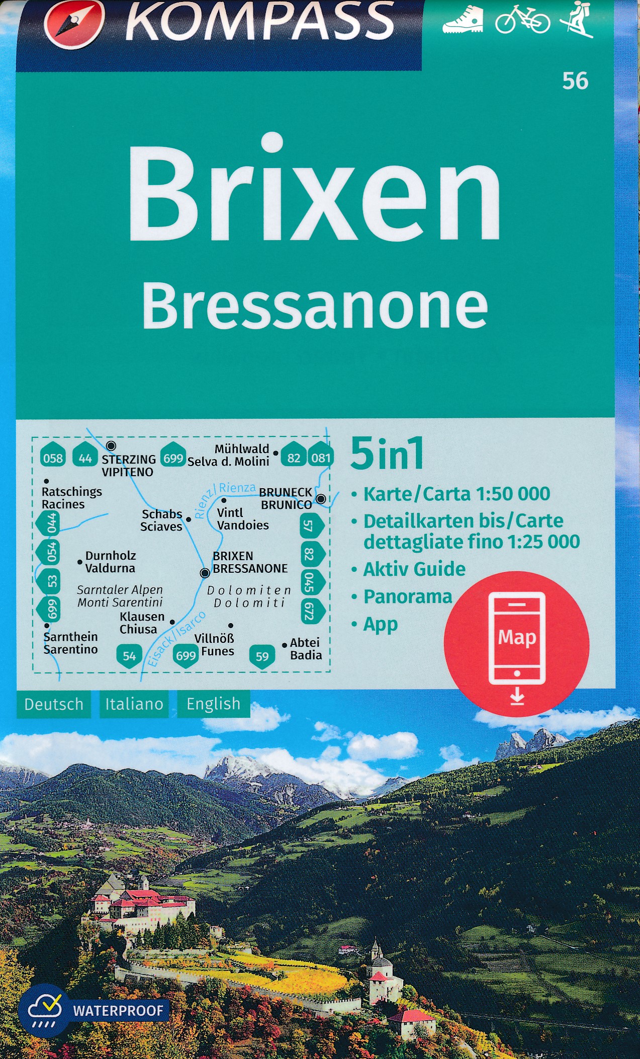
- Wandelkaart 56 Brixen - Bressanone | Kompass
- Bressanone/Brixen and its environs in the Dolomites on a GPS compatible hiking and recreational map at 1:50,000 from Kompass, printed on durable, waterproof and tear-resistant synthetic paper. KOMPASS HIKING MAPS OF ITALY: this title is part of an extensive series of walking maps from Kompass covering selected areas of Italy at mainly... Read more
Bol.com
Netherlands
Netherlands
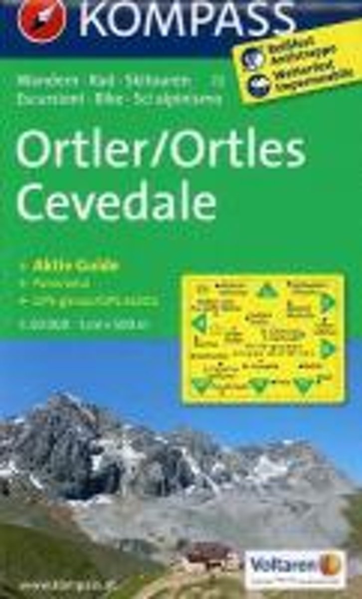
- Ortler /Ortles, Cevedale WK72
- Deze Kompass wandelkaart, schaal 1:50 000, is ideaal om uw route uit te stippelen en om onderweg te gebruiken • naast de bekende bestemmingen, worden ook de minder bekende vermeld • openbaar vervoer bij begin- of eindpunt van een route aangegeven • eenvoudige wandelingen tot pittige (berg)tochten, voor getrainde en ongetrainde wandelaars • met... Read more
- Also available from:
- Bol.com, Belgium
Bol.com
Belgium
Belgium
- Ortler /Ortles, Cevedale WK72
- Deze Kompass wandelkaart, schaal 1:50 000, is ideaal om uw route uit te stippelen en om onderweg te gebruiken • naast de bekende bestemmingen, worden ook de minder bekende vermeld • openbaar vervoer bij begin- of eindpunt van een route aangegeven • eenvoudige wandelingen tot pittige (berg)tochten, voor getrainde en ongetrainde wandelaars • met... Read more
De Zwerver
Netherlands
Netherlands
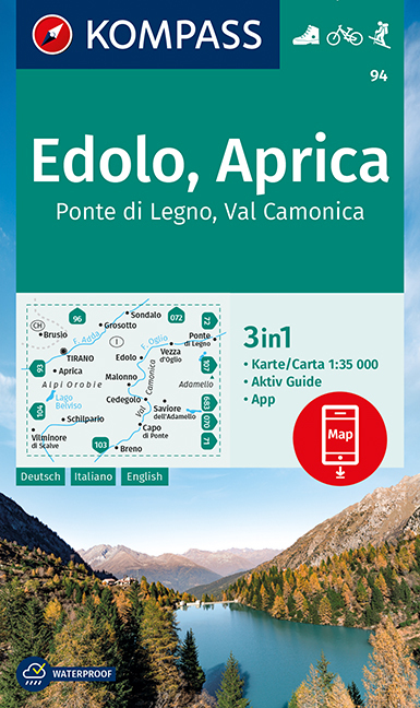
- Wandelkaart 94 Edolo - Aprica | Kompass
- Map No. 94, Edolo - Aprica, from Kompass in a series of walking maps of selected areas of Italy at 1:50,000, with hiking routes on a topographic base, various types of accommodation, recreational facilities, places of interest, etc. Kompass are Europe’s largest publishers of walking maps, with extensive coverage of hiking areas in other... Read more
Bol.com
Netherlands
Netherlands
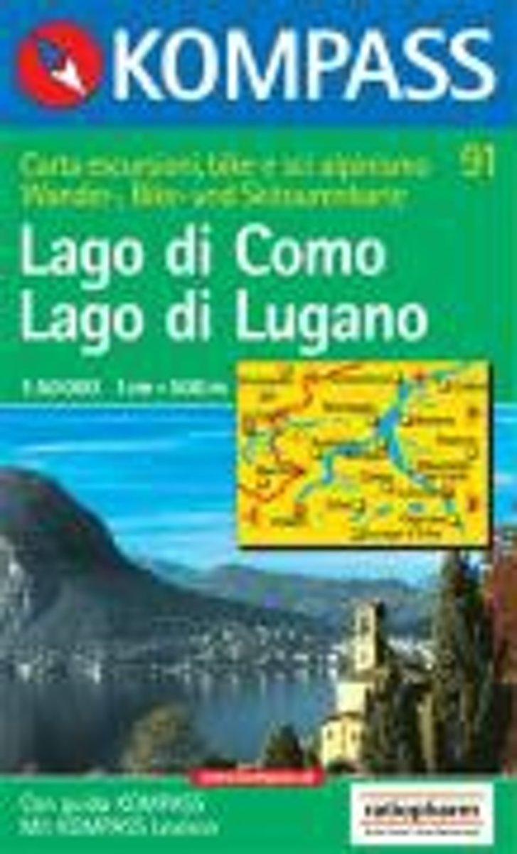
- Kompass WK91 Lago di Como, Lago di Lugano
- Deze Kompass wandelkaart, schaal 1:50 000, is ideaal om uw route uit te stippelen en om onderweg te gebruiken • naast de bekende bestemmingen, worden ook de minder bekende vermeld • openbaar vervoer bij begin- of eindpunt van een route aangegeven • eenvoudige wandelingen tot pittige (berg)tochten, voor getrainde en ongetrainde wandelaars • met... Read more
- Also available from:
- Bol.com, Belgium
Bol.com
Belgium
Belgium
- Kompass WK91 Lago di Como, Lago di Lugano
- Deze Kompass wandelkaart, schaal 1:50 000, is ideaal om uw route uit te stippelen en om onderweg te gebruiken • naast de bekende bestemmingen, worden ook de minder bekende vermeld • openbaar vervoer bij begin- of eindpunt van een route aangegeven • eenvoudige wandelingen tot pittige (berg)tochten, voor getrainde en ongetrainde wandelaars • met... Read more
De Zwerver
Netherlands
2023
Netherlands
2023
More maps…