
Wildstrubel
Description
- Height 3244.00 m
Links
Facts
Reports
Guides and maps
Lodging
Organisations
Tour operators
GPS
Other
Maps

The Book Depository
United Kingdom
United Kingdom
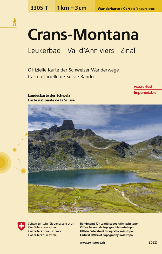
- Craens - Montana
- Een nieuwe serie van de Zwitserse topografische dienst: eindelijk goede wandelkaarten met ingetekende wandelroutes op scheur- en watervast papier. Vooralsnog zijn ze uitgebracht van de populaire wandelgebieden en niet landelijk dekkend (zie overzicht) Op een gedetailleerde schaal van 1:33.333 met als ondergrond de onovertroffen topografische... Read more
- Also available from:
- De Zwerver, Netherlands
De Zwerver
Netherlands
Netherlands
- Wandelkaart - Topografische kaart 3305T Crans-Montana | Swisstopo
- Een nieuwe serie van de Zwitserse topografische dienst: eindelijk goede wandelkaarten met ingetekende wandelroutes op scheur- en watervast papier. Vooralsnog zijn ze uitgebracht van de populaire wandelgebieden en niet landelijk dekkend (zie overzicht) Op een gedetailleerde schaal van 1:33.333 met als ondergrond de onovertroffen topografische... Read more
De Zwerver
Netherlands
Netherlands
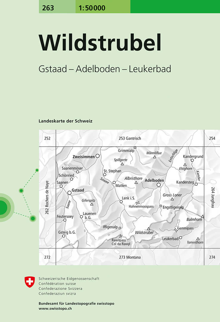
- Wandelkaart - Topografische kaart 263 Wildstrubel | Swisstopo
- Wildstrubel, map No. 263, in the standard topographic survey of Switzerland at 1:50,000 from Swisstopo, i.e. without the special overprint highlighting walking trails, local bus stops, etc, presented in Swisstopo Read more
De Zwerver
Netherlands
Netherlands
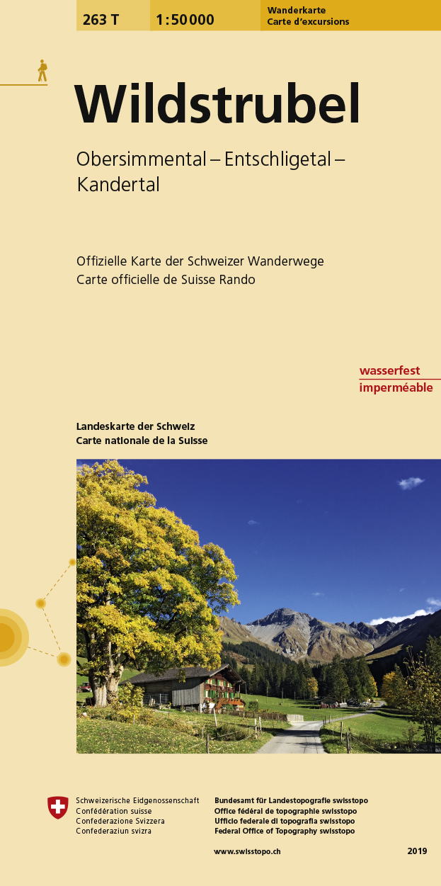
- Wandelkaart 263T Wildstrubel | Swisstopo
- Wildstrubel area, map No. 263T, at 1:50,000 in a special hiking edition of the country Read more
De Zwerver
Netherlands
Netherlands
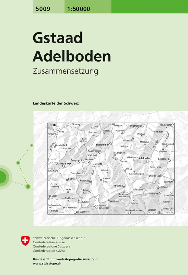
- Wandelkaart - Topografische kaart 5009 Gstaad - Adelboden | Swisstopo
- Gstaad - Adelboden area, map No. 5009, in the standard topographic survey of Switzerland at 1:50,000 from Swisstopo, i.e. without the special overprint highlighting walking trails, local bus stops, etc, presented in Swisstopo Read more