
Ticino
Description
Map

Trails in this region
Links
Facts
Reports
Guides and maps
Lodging
Organisations
Tour operators
GPS
Other
Books

Stanfords
United Kingdom
United Kingdom
- DK Eyewitness Travel Guide Switzerland
- Marvel at the iconic Matterhorn, explore the fascinating art galleries and museums of Basel or stroll around the historic town of Lausanne on Lake Geneva. The DK Eyewitness Guide to Switzerland covers the must-see sights and the hidden backstreets, so you won`t miss a thing.- See Switzerland from a different angle - 14 pages of fresh ideas for... Read more

- Also available from:
- De Zwerver, Netherlands

The Book Depository
United Kingdom
2023
United Kingdom
2023
- Walking in Ticino
- Lugano, Locarno and the mountains of southern Switzerland Read more

Stanfords
United Kingdom
2017
United Kingdom
2017
- The Swiss Alpine Pass Route - via Alpina Route 1: Trekking East to West Across Switzerland
- This guidebook presents the stunning Alpine Pass Route, now fully waymarked as Via Alpina 1. The 360km trail traverses Switzerland from east to west, from Sargans near the Liechtenstein border to Montreux on Lac Leman (Lake Geneva). Crossing sixteen Alpine passes, it showcases some of the country`s most breathtaking mountain landscapes,... Read more
- Also available from:
- Bol.com, Netherlands
- Bol.com, Belgium

Bol.com
Netherlands
2017
Netherlands
2017
- The Swiss alpine pass route - Via Alpina route 1
- This guidebook presents the stunning Alpine Pass Route, now fully waymarked as Via Alpina 1. The 360km trail traverses Switzerland from east to west, from Sargans near the Liechtenstein border to Montreux on Lac Léman (Lake Geneva). Crossing sixteen Alpine passes, it showcases some of the country's most breathtaking mountain landscapes,... Read more
Bol.com
Belgium
2017
Belgium
2017
- The Swiss alpine pass route - Via Alpina route 1
- This guidebook presents the stunning Alpine Pass Route, now fully waymarked as Via Alpina 1. The 360km trail traverses Switzerland from east to west, from Sargans near the Liechtenstein border to Montreux on Lac Léman (Lake Geneva). Crossing sixteen Alpine passes, it showcases some of the country's most breathtaking mountain landscapes,... Read more
Bol.com
Netherlands
2017
Netherlands
2017
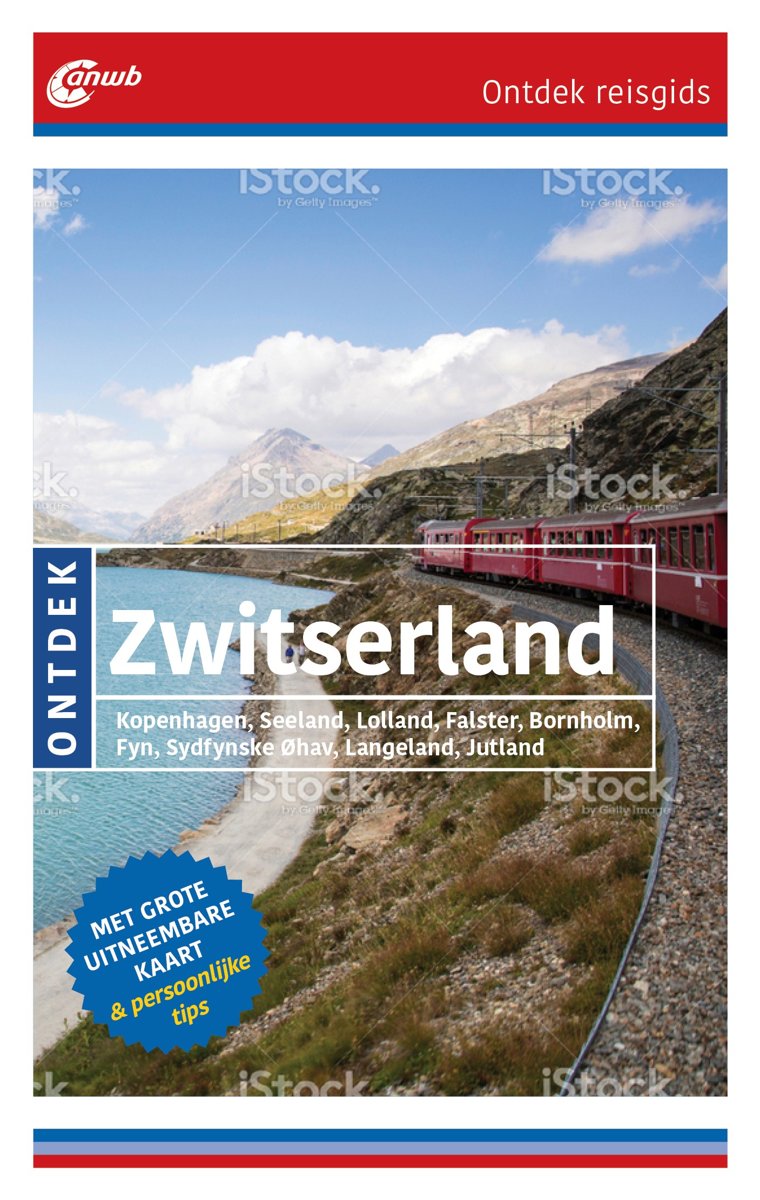
- ANWB Ontdek reisgids - Ontdek Zwitserland
- ANWB Ontdek reisgids ZwitserlandVerken Zwitserland op een andere manier met de uitgebreide ANWB Ontdek reisgids Zwitserland! Natuurlijk mag je de vele bezienswaardigheden in de steden Jura en Basel niet missen, maar ga ook eens van de gebaande paden en wandel langs de langste gletsjer van de Alpen: de Aleschgletsjer Wallis, bezoek kunstmuseum... Read more
- Also available from:
- Bol.com, Belgium
Bol.com
Belgium
2017
Belgium
2017
- ANWB Ontdek reisgids - Ontdek Zwitserland
- ANWB Ontdek reisgids ZwitserlandVerken Zwitserland op een andere manier met de uitgebreide ANWB Ontdek reisgids Zwitserland! Natuurlijk mag je de vele bezienswaardigheden in de steden Jura en Basel niet missen, maar ga ook eens van de gebaande paden en wandel langs de langste gletsjer van de Alpen: de Aleschgletsjer Wallis, bezoek kunstmuseum... Read more
De Zwerver
Netherlands
2009
Netherlands
2009
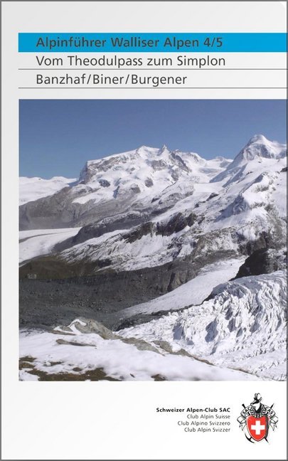
- Klimgids - Klettersteiggids Alpinführer Walliser Alpen 4/5 | SAC Schweizer Alpenclub
- Vom Theodulpass zum Simplon. 1. Auflage. Read more
Bol.com
Netherlands
2017
Netherlands
2017
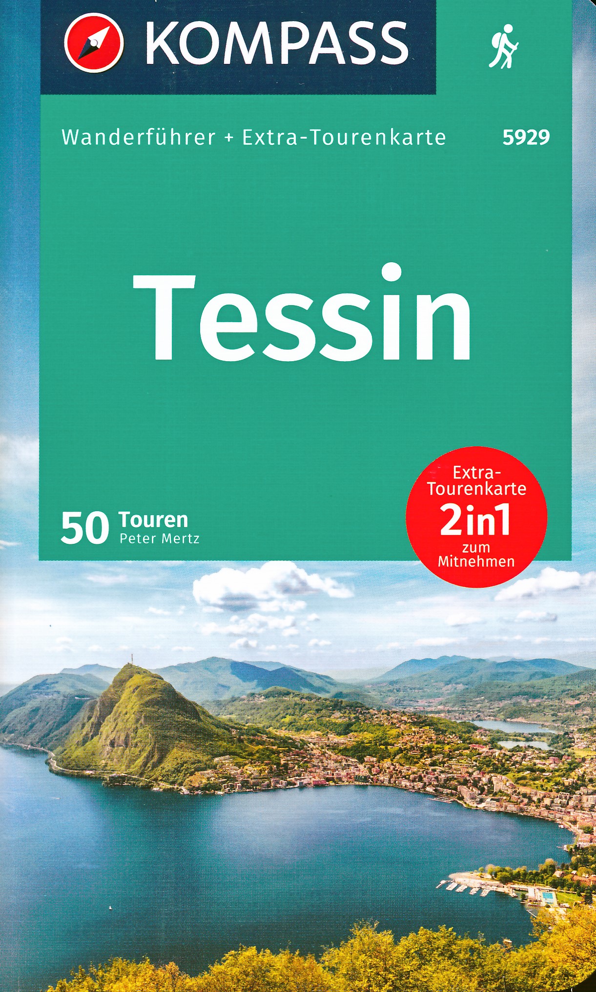
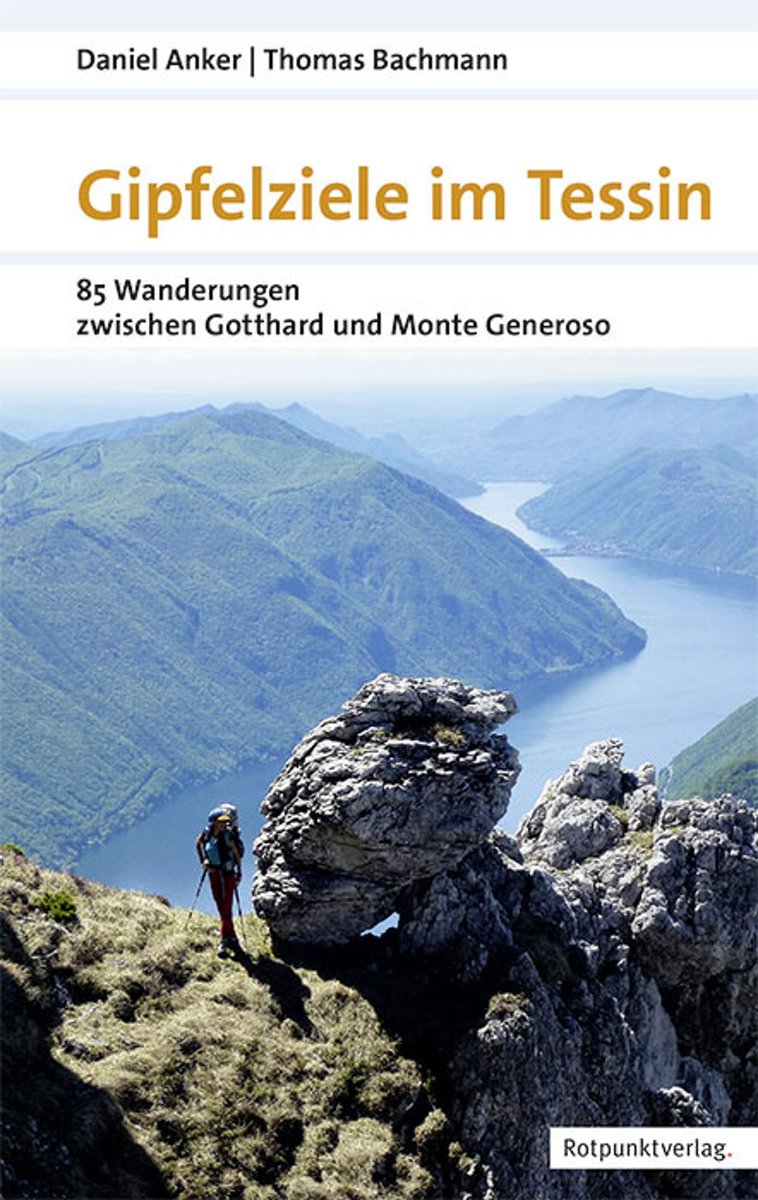
- Gipfelziele im Tessin 1.A 2017
- Ein Führer fürs Tessin, der die überraschend vielfältige Gipfelwelt im Süden der Schweiz vorstellt, von den gletscher- und geröllbedeckten Dreitausendern bis zu den palmengesäumten Seeufern. Die Touren in dieser Region, die vom zentralen Alpenbogen bis in die Po-Ebene hinunterreicht, wurden so ausgewählt, dass sich der Endpunkt der einen... Read more
- Also available from:
- Bol.com, Belgium
- De Zwerver, Netherlands
Bol.com
Belgium
2017
Belgium
2017
- Gipfelziele im Tessin 1.A 2017
- Ein Führer fürs Tessin, der die überraschend vielfältige Gipfelwelt im Süden der Schweiz vorstellt, von den gletscher- und geröllbedeckten Dreitausendern bis zu den palmengesäumten Seeufern. Die Touren in dieser Region, die vom zentralen Alpenbogen bis in die Po-Ebene hinunterreicht, wurden so ausgewählt, dass sich der Endpunkt der einen... Read more

De Zwerver
Netherlands
2017
Netherlands
2017
- Wandelgids Gipfelziele im Tessin | Rotpunktverlag
- 85 Wanderungen zwischen Gotthard und Monte Generoso Read more
De Zwerver
Netherlands
Netherlands

De Zwerver
Netherlands
2017
Netherlands
2017
- Wandelgids 411 Kautokeino - Nordkap E1 | Conrad Stein Verlag
- Handzaam boekje met de routebeschrijving inclusief een heleboel praktische informatie. De beschrijving is uitstekend, maar kaarten zijn wat beperkt. Duits. Die 330 km lange Wanderung auf dem E1 von Kautokeino zum Nordkap ist ein unvergessliches Wanderabenteuer. In 15 Etappen laufen Sie durch die Wildnis Nordnorwegens und überqueren die... Read more


Bol.com
Netherlands
Netherlands
- Mountain Days at Home and Abroad
- 'Mountain Days at Home and Abroad' is a lively account of the author's adventures in the mountains over a period of some 40 years, starting from the early days when he took part in annual mountain challenges and volunteered as an instructor on various Hill Walking and Climbing courses run by the Scouts from the old railway station at... Read more
- Also available from:
- Bol.com, Belgium
Bol.com
Belgium
Belgium
- Mountain Days at Home and Abroad
- 'Mountain Days at Home and Abroad' is a lively account of the author's adventures in the mountains over a period of some 40 years, starting from the early days when he took part in annual mountain challenges and volunteered as an instructor on various Hill Walking and Climbing courses run by the Scouts from the old railway station at... Read more

De Zwerver
Netherlands
2022
Netherlands
2022
Maps

Stanfords
United Kingdom
United Kingdom
- Monte Fumaiolo - Monte Comero 18
- Map No. 18, Monte Fumaiolo - Alto Tevere, in series of contoured, GPS compatible hiking maps at 1:25,000 from the Istituto Geografico Adriatico, covering mainly the spine of the Apennines along the borders of Tuscany, Emilia-Romagna, Umbria and the Marches.Map in this series have contours at 25m intervals with additional shading and numerous... Read more

Stanfords
United Kingdom
United Kingdom
- Haslital: Grindelwald - Engelberg 50K Hallwag Outdoor Map No. 5
- Haslital area, from Grindelwald to Engelberg, at 1:50,000 in a series from Hallwag covering Switzerland’s popular hiking regions on light, waterproof and tear-resistant maps highlighting long-distance paths: the nine national routes plus special regional routes, as well as other local hiking trails.Cartography is similar to that used both in... Read more

Stanfords
United Kingdom
United Kingdom
- Riviera Cesenate - San Marino
- Map No. 128, Riviera Cesenate - San Marino, in a series of GPS compatible hiking maps at 1:50,000 from the Istituto Geografico Adriatico, covering parts of central Italy: eastern Tuscany, with northern Umbria and the Marches, plus the south-eastern of part of Emilia-Romagna.The maps have contours at 50m intervals with additional shading and... Read more
Stanfords
United Kingdom
United Kingdom
- Bagno di Romagna Monti Editore 19
- Map No. 19, Bagno di Romagna, in series of contoured, GPS compatible hiking maps at 1:25,000 from the Istituto Geografico Adriatico, covering mainly the spine of the Apennines along the borders of Tuscany, Emilia-Romagna, Umbria and the Marches.The maps have contours at 25m intervals with additional shading and numerous Map in this series have... Read more
Stanfords
United Kingdom
United Kingdom
- Montreux
- Montreux - Col du Pillon area at 1:50,000 in a series from Hallwag covering Switzerland’s popular hiking regions on light, waterproof and tear-resistant maps highlighting long-distance paths: the nine national routes plus special regional routes, as well as other local hiking trails.Cartography is similar to that used both in Hallwag’s hiking... Read more
Stanfords
United Kingdom
United Kingdom
- Alta Val Marecchia
- Map No. 126, Alta Val Marecchia, in a series of GPS compatible hiking maps at 1:50,000 from the Istituto Geografico Adriatico, covering parts of central Italy: eastern Tuscany, with northern Umbria and the Marches, plus the south-eastern of part of Emilia-Romagna.The maps have contours at 50m intervals with additional shading and numerous spot... Read more
Stanfords
United Kingdom
United Kingdom
- Monte Carpegna - Sasso di Simone
- Map No. 16, Monte Carpegna - Sasso di Simone, in series of contoured, GPS compatible hiking maps at 1:25,000 from the Istituto Geografico Adriatico, covering mainly the spine of the Apennines along the borders of Tuscany, Emilia-Romagna, Umbria and the Marches.Map in this series have contours at 25m intervals with additional shading and... Read more

Stanfords
United Kingdom
United Kingdom
- Monti Sibillini National Park Edizioni Multigraphic 60/61
- Monti Sibillini National Park at 1:25,000 on a double-sided contoured map from Edizioni Multigraphic highlighting local waymarked hiking routes including the GAS – Grand Anello dei Sibilini, the circular tour around the mountains.The map has contours at 25m intervals with colouring for woodlands. Waymarked routes are highlighted and annotated... Read more
Stanfords
United Kingdom
United Kingdom
- Alta Valle del Metauro: Valle del Candigliano, Monte Nerone, Monte Catria
- Map No. 122, Alta Valle del Metauro: Valle del Candigliano, Monte Nerone, Monte Catria, in a series of GPS compatible hiking maps at 1:50,000 from the Istituto Geografico Adriatico, covering parts of central Italy: eastern Tuscany, with northern Umbria and the Marches, plus the south-eastern of part of Emilia-Romagna.The maps have contours at... Read more

Stanfords
United Kingdom
United Kingdom
- Foreste Casentinesi NP Monti Editore 20
- Map No. 20, Foreste Casentinesi: Campigna, Camaldoli, Chiusi dell Verna, in series of contoured, GPS compatible hiking maps at 1:25,000 from the Istituto Geografico Adriatico, covering mainly the spine of the Apennines along the borders of Tuscany, Emilia-Romagna, Umbria and the Marches.Map in this series have contours at 25m intervals with... Read more
Stanfords
United Kingdom
United Kingdom
- Alpe della Luna 17
- Map No. 16, Monte Carpegna - Sasso di Simone, in series of contoured, GPS compatible hiking maps at 1:25,000 from the Istituto Geografico Adriatico, covering mainly the spine of the Apennines along the borders of Tuscany, Emilia-Romagna, Umbria and the Marches.Map in this series have contours at 25m intervals with additional shading and... Read more
Stanfords
United Kingdom
United Kingdom
- Colline di Rimini
- Map No. 124, Colline di Rimini, in a series of GPS compatible hiking maps at 1:50,000 from the Istituto Geografico Adriatico, covering parts of central Italy: eastern Tuscany, with northern Umbria and the Marches, plus the south-eastern of part of Emilia-Romagna. This title covers the holiday resorts on the Adriatic coast around Rimini,... Read more

Stanfords
United Kingdom
United Kingdom
- Alpe di San Benedetto 21
- Map No. 21, Alpe di San Benedetto: Passo del Muraglione – San Godenzo – Dicomano, in series of contoured, GPS compatible hiking maps at 1:25,000 from the Istituto Geografico Adriatico, covering mainly the spine of the Apennines along the borders of Tuscany, Emilia-Romagna, Umbria and the Marches.Map in this series have contours at 25m intervals... Read more

Stanfords
United Kingdom
United Kingdom
- Ticino Swisstopo 107
- Swiss canton of Ticino on a Swiss topographic survey map at 1:100,000. Coverage extends south to Lake Lugano, most of Lake Maggiore, and most of Lake Como with the town of Como.Maps in the Swiss topographic survey at 1:100,000 from Swisstopo are highly regarded for their superb use of graphic relief and hill shading, presenting an almost 3-D... Read more

Stanfords
United Kingdom
United Kingdom
- Alta Valle del Lamone 22
- Map No. 22, Alta Valle del Lamone: Alto Appennino Faentino – Anello di Marradi, in series of contoured, GPS compatible hiking maps at 1:25,000 from the Istituto Geografico Adriatico, covering mainly the spine of the Apennines along the borders of Tuscany, Emilia-Romagna, Umbria and the Marches.Map in this series have contours at 25m intervals... Read more