Lake District
Description
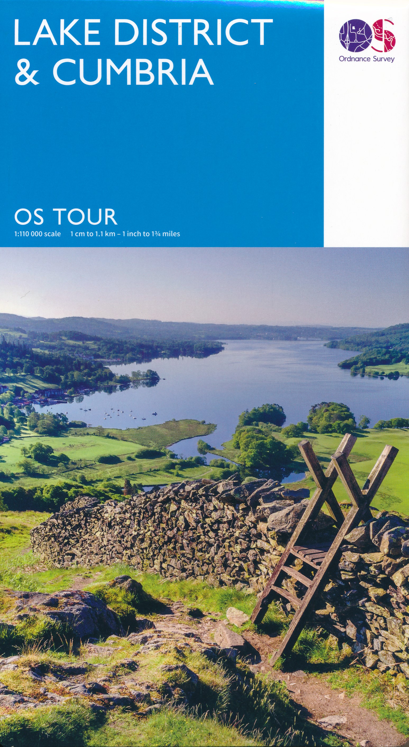
The Lake District in northwestern England is one of the most popular hiking and holiday destinations of England. The contrast between the wild, sometimes rugged mountains, and the friendly valleys is striking. The lakes offer excellent holiday entertainment. Speaking about the Lake District, one should not forget to mention the romantic poet William Wordsworth. You may find copies of his writings in the villages.
Several long distance hikes traverse the region. The Coast to Coast Path chooses some of the best scenery. But there is much more to enjoy. The extended network of well marked trails is awaiting you.
Trails in this region
Links
Facts
Reports
Guides and maps
Lodging
Organisations
Tour operators
GPS
Other
Books

Stanfords
United Kingdom
United Kingdom
- Camra`s Lake District Pub Walks
- This is a pocket-sized, traveller`s guide to some of the best walking and best pubs in the Lake District. The walks are grouped geographically around tourist hubs with plenty of accommodation, making the book ideal for a visitor to the Lakes. ”Lake District Pub Walks” also explores some of the region`s fascinating historical and literary... Read more

Stanfords
United Kingdom
United Kingdom
- The National Trust Book of the Countryside
- Explore the British countryside with the National Trust. No organisation knows more about the British countryside than the National Trust, the custodians of some of our most beautiful stretches of land and coastline. Drawing on their expertise, this stunningly illustrated book is a comprehensive guide to the country`s natural heritage. Part One... Read more

Stanfords
United Kingdom
United Kingdom
- Cumbria & the Lake District - Drive & Stroll
- On a fine day, there`s nothing quite like a drive to the country, followed by a leisurely walk and a hearty meal in a good local pub or cafe. This book contains a collection of 20 walks in Cumbria and the Lake District to help you do just that.HIGHLIGHTS INCLUDE:A gentle riverside ramble near Langwathby; The fellsides and rich woodland around... Read more

Stanfords
United Kingdom
United Kingdom
- Walks Around Coniston
- Walks around Coniston, Hawkshead, Grizedale and Far Sawrey in the Lake District in a series of maps from Footprint covering popular hiking areas of Britain. 16 circular routes, from 1½ to 9 miles long, are presented on panels at 1:12,500 (5” to 1 mile) for shorter walks and 1:25,000 (2½” to 1 mile) for the longer ones. Also provided is a small... Read more

Stanfords
United Kingdom
United Kingdom
- Wild Pub Walks
- Join the author on 30 walks in beautiful remote or mountain landscapes, each with a great pub - often with historical significance - at journey`s end. The book is aimed at the large market of hill walkers who enjoy long days out followed by a great pint in a great pub.The areas covered are: Peak District; Lake District; Highlands/Islands;... Read more

Stanfords
United Kingdom
2021
United Kingdom
2021
- DK Eyewitness Top 10 Lake District
- England`s Lake District, with its unspoiled wilderness, pristine lakes, boulder-strewn fells and tiny villages, has inspired generations of poets, writers and hikers. Your DK Eyewitness Top 10 travel guide ensures you`ll find your way around the Lake District with absolute ease.Our updated Top 10 travel guide breaks down the best of the Lake... Read more

Stanfords
United Kingdom
United Kingdom
- Nevermind the Quantocks
- `Every one of us knows the moment when the simple act of putting one foot in front of another stops being a method of propulsion and becomes an adventure.` In this hilarious and heart-warming collection of essays, writer and broadcaster Stuart Maconie reflects on a life spent exploring the British countryside on foot. From the splendour of the... Read more

Stanfords
United Kingdom
United Kingdom
- Photographing The Lake District
- Photographing the Lake District (second edition) is a visitor and photo-location guidebook, and a beautiful visual record of the UNESCO World Heritage site. Perfect to plan your trip from home and to take with you on your trip.After 15,000 copies of his first edition were sold, Stuart Holmes has extensively updated his visitor and a... Read more

Stanfords
United Kingdom
United Kingdom
- A Cyclist`s Guide to the Pyrenees
- Where do you turn when you want to ride in the mountains, to follow in the wheeltracks of professional racers by climbing the famous passes of the Tour de France? There are several books and websites that highlight these renowned ascents, detailing their location, length and every little change in gradient. But how do you go about finding a... Read more

Stanfords
United Kingdom
United Kingdom
- Pub and Fell Walks Combined pub and fell walks in the Lake District
- This attractive and cleverly structured guide gives walkers ten of the finest walks combining a superb Lakeland pub with a classic fell walk in the Lake District National Park in a popular pocketable format. With clear information, an overview and introduction for each walk, expertly written numbered directions, large scale Ordnance Survey... Read more
Stanfords
United Kingdom
United Kingdom
- More Lake District
- Pathfinder (R) Guide More Lake District privides 28 more outstanding walks across England`s most mountainous region, with its balanced range of walks throughout the National Park and beyond. There are walks within easy reach of the popular centres at Ambleside, Coniston, Patterdale, Keswick and Egremont, and routes range from Mungrisdale in the... Read more

Stanfords
United Kingdom
United Kingdom
- Short Walks in the lake District
- 12 Scenic Walks of Varying Height and Length,Suitable for All Ages Read more

Stanfords
United Kingdom
United Kingdom
- Ten Best of Everything 2nd ed
- ”The 10 Best of Everything: An Ultimate Guide for Travelers, Second Edition”, offers a wealth of information for the high-end traveler or anyone who aspires to be. The top-ten lists in 60 categories showcase the experience and savvy of such luminaries as Prince Charles on architecture, Arnold Palmer on favorite golf courses, Luciano Pavarotti... Read more

Stanfords
United Kingdom
United Kingdom
- Short Walks in the Lake District
- The Lake District contains some of the most spectacular landscapes in Britain with superb walking areas. These can be explored with these 20 walks, all are 5 miles or under in length and can easily be completed in less that 3 hours. This guide, produced in co-operation with the Ramblers and featuring Ordnance Survey mapping, is the perfect way... Read more

Stanfords
United Kingdom
United Kingdom
- Ridge Walks: The Finest High-Level Walks in the Lake District
- One in the popular Lake District: Top 10 Walks series of pocket-sized, full colour walking guides written by experts. This attractive and cleverly structured guide gives walkers ten of the finest ridge walks in the Lake District National Park in a popular format. With clear information, large scale Ordnance Survey maps, eye-grabbing panoramic... Read more
Maps

Stanfords
United Kingdom
United Kingdom
- Cycling the Reivers Route: Coast to coast through wild Northumberland`s border country
- As the wildest of the northern coast-to-coast cycle routes, the Reivers Route explores the rich Border Reiving history of northern England and the Scottish Borders. Travelling 173 mile (280km) from Whitehaven to Tynemouth, this four-day cycle tour takes in the Cumbrian coast, northern Lake District, Northumberland National Park and North... Read more

The Book Depository
United Kingdom
United Kingdom
- Topographical Map of the Lake District Wainwright Fells
- The fells of the Lake District shown on a contoured map at 1:100,000 approx. from Rivers Publishing, with on the reverse side tables showing the 214 fells grouped by location and each presented with its height and a column so the user can record the date climbed or other personal notes. Coverage extends from the Northern Fells group southwards... Read more

The Book Depository
United Kingdom
2015
United Kingdom
2015
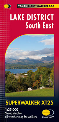
- Lake District South East
- The south-eastern part of the Lake District at 1:25,000 on a light, waterproof and tear-resistant, GPS compatible, double-sided map from Harvey Map Services in their Superwalker series. Coverage includes Kendal, Windermere, Bowness-on-Windermere, Coniston, Newby Bridge, Coniston Water, Lake Windermere, etc, and extends from Ambleside in the... Read more
- Also available from:
- De Zwerver, Netherlands
De Zwerver
Netherlands
2015
Netherlands
2015
- Wandelkaart Lake District Zuid Oost | Harvey Maps
- The south-eastern part of the Lake District at 1:25,000 on a light, waterproof and tear-resistant, GPS compatible, double-sided map from Harvey Map Services in their Superwalker series. Coverage includes Kendal, Windermere, Bowness-on-Windermere, Coniston, Newby Bridge, Coniston Water, Lake Windermere, etc, and extends from Ambleside in the... Read more

The Book Depository
United Kingdom
United Kingdom
- Lakes SE
- The south-eastern area of the Lake District on a detailed topographic and GPS compatible map OL7, waterproof version, from the Ordnance Survey’s 1:25,000 Explorer series. Coverage extends eastwards from Coniston and the northern part of the Coniston Water to the Killington Reservoir and includes Grasmere, Ambleside, Windermere, Kendal, Penny... Read more

The Book Depository
United Kingdom
United Kingdom
- Cumbria Way
- Cumbria Way, a 112km / 70 mile route liking Ulverston and Carlisle across the heart of the Lake District, presented at 1:40,000 on a light, waterproof and tear-resistant map from Harvey Map Services. The route is shown on five overlapping panels, with additional street plans of Carlisle, Keswick, and Ulverston.Maps in the Harvey Read more
- Also available from:
- De Zwerver, Netherlands

De Zwerver
Netherlands
Netherlands
- Wandelkaart Cumbria Way | Harvey Maps
- Cumbria Way, a 112km / 70 mile route liking Ulverston and Carlisle across the heart of the Lake District, presented at 1:40,000 on a light, waterproof and tear-resistant map from Harvey Map Services. The route is shown on five overlapping panels, with additional street plans of Carlisle, Keswick, and Ulverston.Maps in the Harvey Read more

The Book Depository
United Kingdom
United Kingdom
- Dales Way
- The Dales Way, a 135km / 85 mile route in the Yorkshire Dales and the Lake District National Parks, presented at 1:40,000 on a map from Harvey Map Services. The route itself, between Ilkley and Bowness-on-Windermere, is shown on six panels, with additional three panels covering the access to the start of the Dales Way in Ilkley from Leeds,... Read more
- Also available from:
- De Zwerver, Netherlands

De Zwerver
Netherlands
Netherlands
- Wandelkaart Dales Way | Harvey Maps
- The Dales Way, a 135km / 85 mile route in the Yorkshire Dales and the Lake District National Parks, presented at 1:40,000 on a map from Harvey Map Services. The route itself, between Ilkley and Bowness-on-Windermere, is shown on six panels, with additional three panels covering the access to the start of the Dales Way in Ilkley from Leeds,... Read more

The Book Depository
United Kingdom
United Kingdom
- Gerry Charnley Round
- Bob Graham Round, a 63km / 38 mile approx. circuit in the fells of the Lake District presented at 1:40,000 on a light, waterproof and tear-resistant map from Harvey Map Services. The circuit, first devised in 1984, includes Scafell and Scafell Pike but provides a shorter alternative to the better known and more challenging Bob Graham Round. The... Read more

The Book Depository
United Kingdom
United Kingdom
- The Cumbria Way
- A Footprint Map-Guide to the 73-Mile Route Between Ulverston & Carlisle Read more

The Book Depository
United Kingdom
2015
United Kingdom
2015
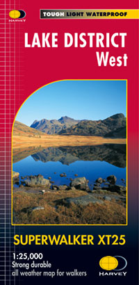
- Lake District West
- The western part of the Lake District at 1:25,000 on a light, waterproof and tear-resistant, GPS compatible, double-sided map from Harvey Map Services in their Superwalker series. Coverage includes Grasmere, Coniston, Torver, Wast Water, Coniston Water, the peaks of Scaffel and Scaffel Pike, etc. The whole of Lake District is covered on four... Read more
- Also available from:
- De Zwerver, Netherlands
De Zwerver
Netherlands
2015
Netherlands
2015
- Wandelkaart Lake District West | Harvey Maps
- The western part of the Lake District at 1:25,000 on a light, waterproof and tear-resistant, GPS compatible, double-sided map from Harvey Map Services in their Superwalker series. Coverage includes Grasmere, Coniston, Torver, Wast Water, Coniston Water, the peaks of Scaffel and Scaffel Pike, etc. The whole of Lake District is covered on four... Read more

The Book Depository
United Kingdom
United Kingdom
- Lake District Adventure Atlas
- The A-Z Adventure Series of maps combines the best of OS and A-Z, creating the perfect companion for walkers, off-road cyclists, horse riders and anyone wishing to explore the great outdoors.The Lake District is a National Park and a Unesco World Heritage Site in northwest England. It is a region rich in natural beauty with breathtaking views... Read more
De Zwerver
Netherlands
2015
Netherlands
2015
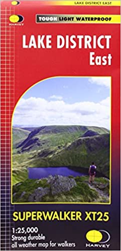
- Wandelkaart Lake District Oost | Harvey Maps
- The eastern part of the Lake District at 1:25,000 on a light, waterproof and tear-resistant, GPS compatible, double-sided map from Harvey Map Services in their Superwalker series. Coverage extends from A66 in the north to Windermere and Staveley in the south, and includes Ullswater, Haweswater, Ambleside and the northern part of Lake... Read more
Bol.com
Netherlands
Netherlands
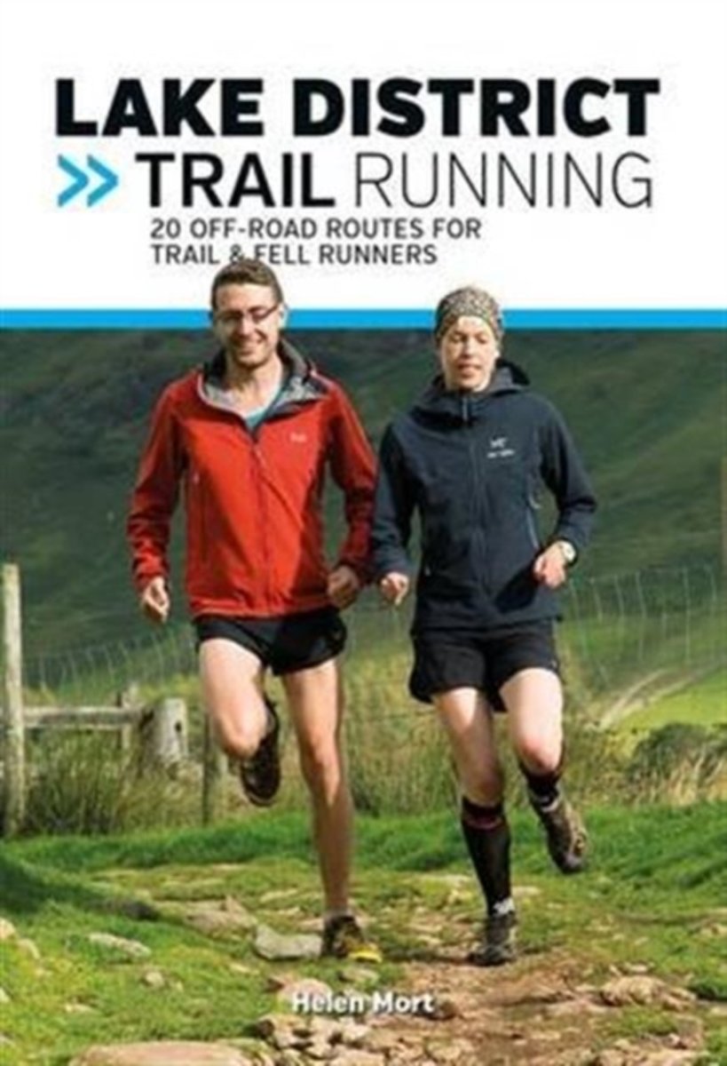
- Lake District Trail Running
- Lake District Trail Running is a comprehensive guide to off-road running in the Lake District National Park. With 20 runs, from 5.1km to 17km in length, this book is suitable for runners of all abilities. The fells and valleys of the Lakes are a playground for the adventurous runner - this is the home of many classic fell races, and of course... Read more
- Also available from:
- Bol.com, Belgium
Bol.com
Belgium
Belgium
- Lake District Trail Running
- Lake District Trail Running is a comprehensive guide to off-road running in the Lake District National Park. With 20 runs, from 5.1km to 17km in length, this book is suitable for runners of all abilities. The fells and valleys of the Lakes are a playground for the adventurous runner - this is the home of many classic fell races, and of course... Read more

De Zwerver
Netherlands
2021
Netherlands
2021

De Zwerver
Netherlands
2021
Netherlands
2021
More maps…