
Moselhöhenweg
Description
- Name Moselhöhenweg
- Length of trail 185 km, 115 miles
- Length in days 9 days
- Start of trail Trier
- End of trail Koblenz
- Traildino grading EW, Easy walk, nature trail

Mosel – Eifel – Hunsrück. Trier to Koblenz.
Eifelseite: Wasserbillig (Luxembourg) – Trier – Koblenz, 185 km
Hunsrückseite: Koblenz – Perl, 262 km Mosel
The Moselhöhenweg runs through the vineyards and the hills of the Mosel Valley, a historic landscape, with many beautiful views of the valley and on the opposite heights of the Hunsrück. The river is heavily meandering and we follow most of the river loops. The Moselle, famous for its white wines, marks the eastern border of the Eifel, the attractive mountain range in the West of Germany. On the other slope we find the Hunsrück, another mountain area, maybe less popular. The trail on this side of the river is longer.
Links
Facts
Reports
Guides and maps
Lodging
Organisations
Tour operators
GPS
Other
Books
De Zwerver
Netherlands
2012
Netherlands
2012
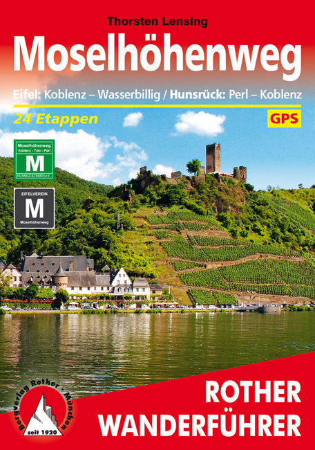
- Wandelgids Moselhöhenweg | Rother Bergverlag
- Duitstalige wandelgids met zeer goed beschreven wandelingen in de wandelgebieden. Redelijk kaartmateriaal, vooral de beschrijving van de route en de praktische info die er bij hoort is goed. 152 Seiten mit 86 Farbabbildungen 24 Höhenprofile, 25 Wanderkärtchen im Maßstab 1:75.000, eine Übersichtskarte im Maßstab 1:600.000 Wer einmal mit dem Zug... Read more