Eastern Continental Trail
Description
- Name Eastern Continental Trail (ECT)
- Length of trail 8,690 km, 5,400 miles
- Length in days 450 days
- Traildino grading SW, Strenuous walk, mountain trail
- Hut tour grading T2, Mountain walk
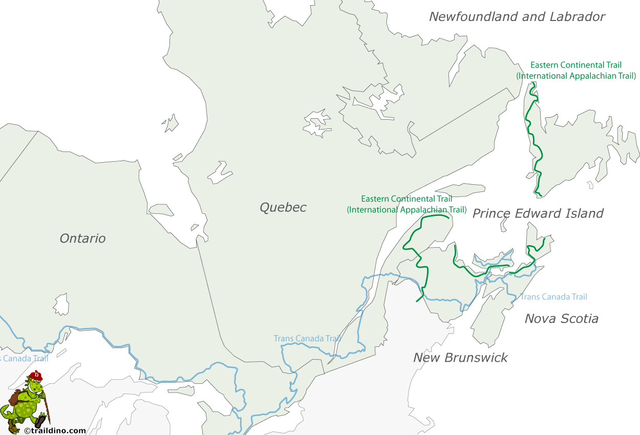
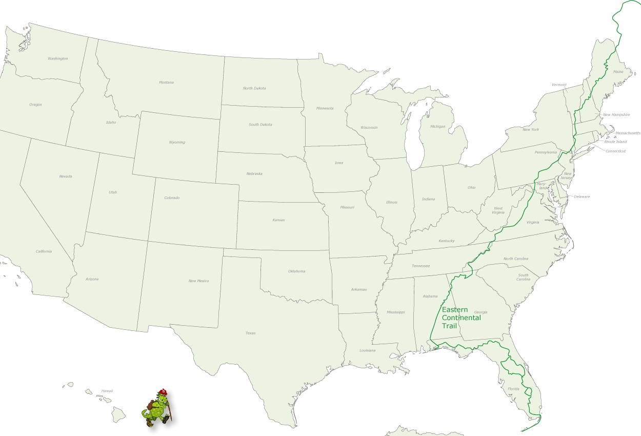
 The ECT is a continuous footpath (almost), which crosses sixteen states and three Canadian provinces. The baffling figure of 5400 miles (8700 km) is easy to understand: add up the distances of the Appalachian Trail, Pinhoti National Recreation Trail, Florida Trail and a few more trails and you will end up higher than each of them.


