Burundi
Description
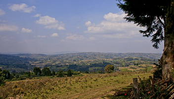
Burundi is a small East African landlocked country on the northeastern shore of Lake Tanganyika. The country is mostly deforested due to high population density. Highest peak is Mt Heha (2690 m).
In the north are two national parks: Kibira National Park with some rain forest on the border with Rwanda, and Rurubu National Park along Rurubu River. In addition there are several nature reserves with walking trails.
Regions
Mountains
Links
Facts
Reports
Guides and maps
Lodging
Organisations
Tour operators
GPS
Other
Books

De Zwerver
Netherlands
2015
Netherlands
2015
- Reisgids Burundi (Franstalig) | Petit Futé
- Franstalige reisgids van Burundi, met plaatsbeschrijvingen en praktische informatie , een soort Trotter reisgids. Aller au Burundi c'est plonger au coeur de l'Afrique même; au sens propre comme au sens figuré. Encore largement méconnu du monde occidental, ce pays situé au centre du continent se trouve à la charnière naturelle entre l'Afrique... Read more

Bol.com
Netherlands
Netherlands
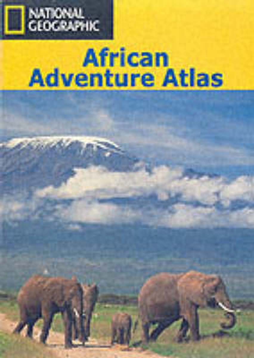
- An African Adventure Atlas
- This text divides the African continent into 15 geographical regions which are introduced over 30 pages and serve to lead the reader into the sections of the atlas, comprising National Parks, town plans and adventure activities. For ease of reference, colour-coded "tabs" clearly identify the different secitons, which include: Morocco and the... Read more
- Also available from:
- Bol.com, Belgium

Bol.com
Belgium
Belgium
- An African Adventure Atlas
- This text divides the African continent into 15 geographical regions which are introduced over 30 pages and serve to lead the reader into the sections of the atlas, comprising National Parks, town plans and adventure activities. For ease of reference, colour-coded "tabs" clearly identify the different secitons, which include: Morocco and the... Read more
Maps

De Zwerver
Netherlands
Netherlands
- Wegenkaart - landkaart Tanzania, Rwanda en Burundi | Nelles Verlag
- Nelles Map Tanzania - Rwanda - Burundi 1:1 500 000 ab 9.9 EURO Special Maps: Pemba Island, Zanzibar Island (Unguja). City Maps: Dar es Salaam, Arusha, Zanizibar-St Nelles Map. Neuauflage Read more
More maps…


