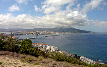
Ceuta
Description
Mountains
Links
Facts
Reports
Guides and maps
Lodging
Organisations
Tour operators
GPS
Other
Maps
Stanfords
United Kingdom
United Kingdom
- Spain CNIG Physical Wall Map
- Administrative provinces of Spain shown in bright colours on a wall map at 1:2,250,000, size 70 x 50cm (27.5” x 20” approx), from IGN/CNIG - the country’s civilian survey organization, plus a panel of regional flags. Each province is presented in a different colour and the map also shows boundaries and names of administrative regions. Town... Read more
Stanfords
United Kingdom
United Kingdom
- Spain Autonomous Regions CNIG Wall Map
- Administrative regions of Spain shown in colours on a wall map at 1:2,000,000, size 86.5 x 68cm (34” x 27” approx), from IGN/CNIG - the country’s civilian survey organization, with relief shading to indicate the topography, plus a decorative panel of regional flags with facts-&-figures. The map shows the regions in lovely bright colours with... Read more

Stanfords
United Kingdom
United Kingdom
- Ceuta and Melilla CNIG Topo 1110-1111
- Topographic coverage of mainland Spain at 1:50,000 in the MTN50 (Mapa Topográfico Nacional) series from the Centro Nacional de Información Geografica, the country’s civilian survey organization. The maps have contours at 20m intervals, enhanced by relief shading, plus colouring and/or graphics to show different types of terrain, vegetation or... Read more

Stanfords
United Kingdom
United Kingdom
- Spain CNIG Administrative Wall Map
- Administrative provinces of Spain shown in bright colours on a wall map at 1:2,250,000, size 70 x 50cm (27.5” x 20” approx), from IGN/CNIG - the country’s civilian survey organization, plus a panel of regional flags. Each province is presented in a different colour and the map also shows boundaries and names of administrative regions. Town... Read more

Stanfords
United Kingdom
United Kingdom
- Ceuta CNIG Topo 1110-3
- Ceuta, one of the two Spanish territories on the North African coast, on detailed map at 1:25,000 published as part of Spain topographic survey from the Instituto Geográfico Nacional – Centro Nacional de Información Geograficá, the country’s civilian survey organization. Coverage includes Isla del Perejil.The map has contours at 10m intervals... Read more


