Mauritania
Description
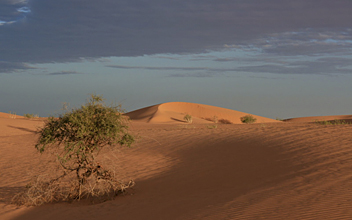
Mauritania is a largely flat desert country in the northwest of Africa, bordering on Mali in the east and south, Senegal in the south, Algeria and (Moroccan) Western Sahara in the north, and the Atlantic in the west. Highest mountain is Kediet ej Jill (915 m).
Trekking through the desert, for instance in the region of the Adrar plateau, is possible with guide and camels.
Regions
Mountains
Links
Facts
Reports
Guides and maps
Lodging
Organisations
Tour operators
GPS
Other
Books
More books…
Maps

De Zwerver
Netherlands
Netherlands
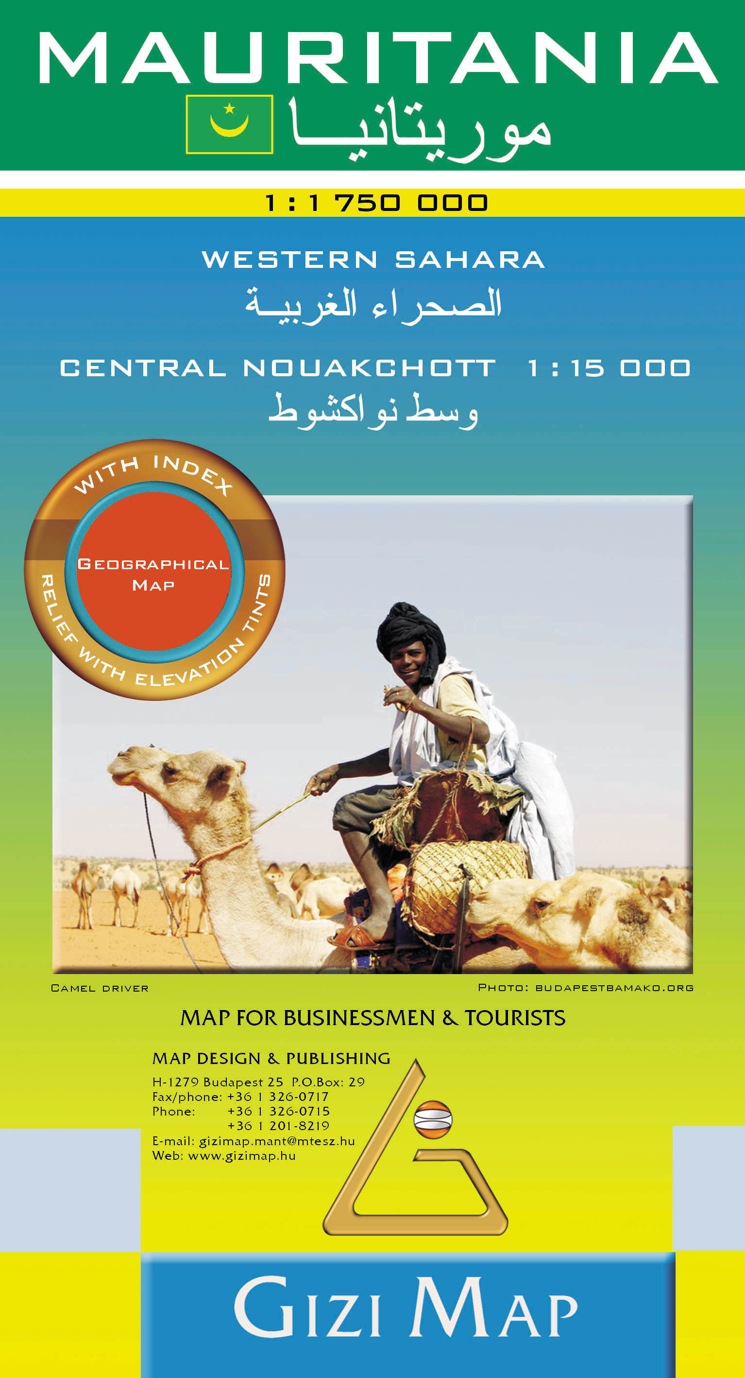
- Wegenkaart - landkaart Mauritania - Mauritanië en Westelijke Sahara | Gizi Map
- Mauritania Geographical Map 1 : 1 750 000 ab 11.95 EURO new edition Read more
More maps…


