
Ascension Island
Description
Ascension is a remote volcanic island in the Atlantic, British territory, more than 1200 km northwest of Saint Helena Island.
Links
Facts
Reports
Guides and maps
Lodging
Organisations
Tour operators
GPS
Other
Maps

Stanfords
United Kingdom
United Kingdom
- St Helena and Dependencies incl. Ascension and Tristan da Cunha Wall Map
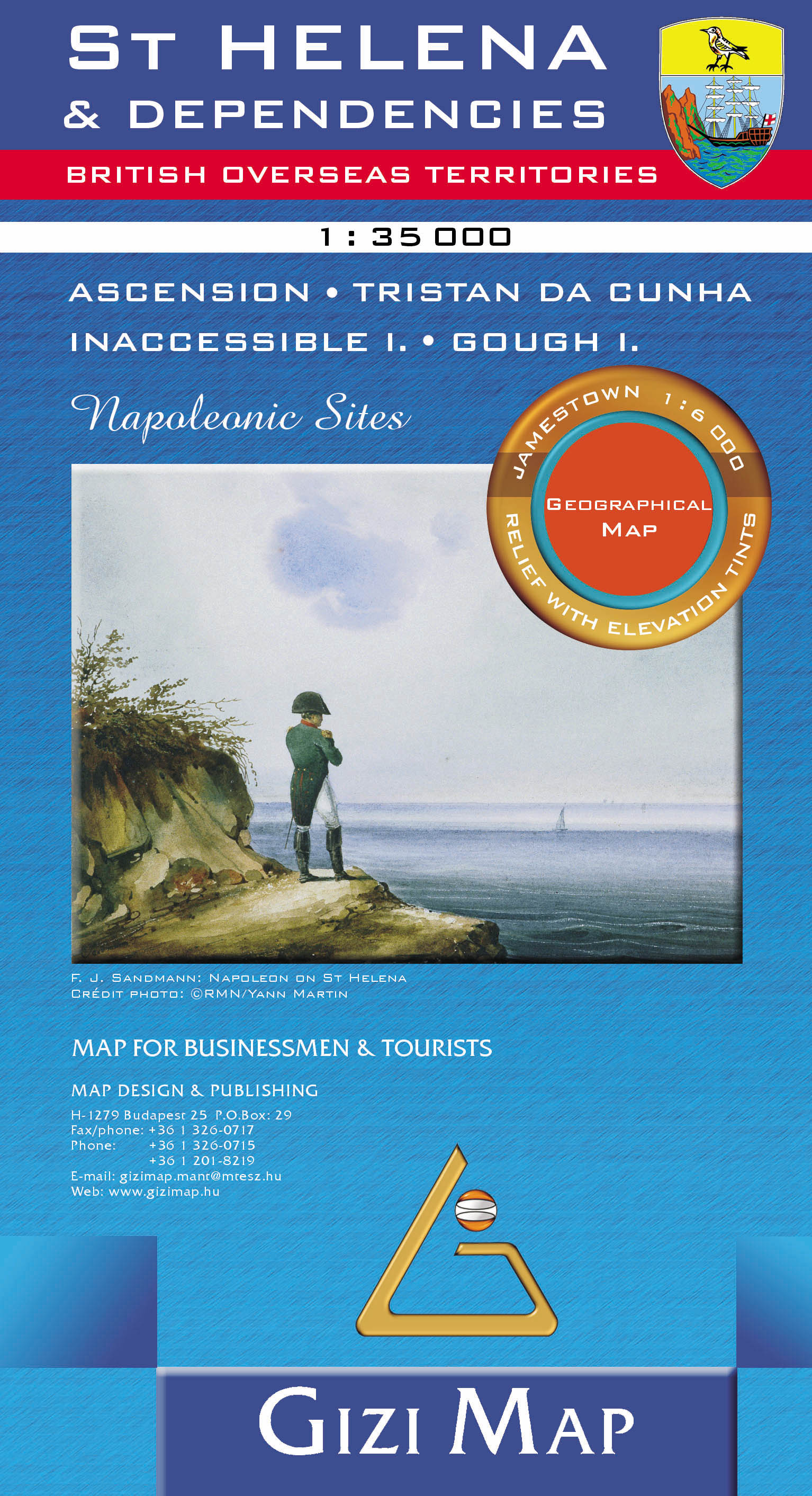
- St. Helena Wall Map at 1:35,000 from Gizi Map, size 69.5 x 70 cm (27.5” x 27.5” approx), with the other islands of the British Overseas Territories in the Atlantic: Tristan da Cunha, plus Ascension, Inaccessible and Gough Islands at 1:75,000, with superb cartography and places of interest.The map excellently presents the topography of all the... Read more

Stanfords
United Kingdom
United Kingdom
- St Helena & Dependencies incl. Ascension and Tristan da Cunha Gizi Map
- St. Helena at 1:35,000 from Gizi Map, with the other islands of the British Overseas Territories in the Atlantic: Tristan da Cunha, plus Ascension, Inaccessible and Gough Islands at 1:75,000, with superb cartography and places of interest.The map excellently presents the topography of all the islands, with bright colouring and vivid relief... Read more
- Also available from:
- De Zwerver, Netherlands
De Zwerver
Netherlands
Netherlands
- Wandelkaart - Wegenkaart - landkaart St Helena & Dependencies | Gizi Map
- St. Helena at 1:35,000 from Gizi Map, with the other islands of the British Overseas Territories in the Atlantic: Tristan da Cunha, plus Ascension, Inaccessible and Gough Islands at 1:75,000, with superb cartography and places of interest.The map excellently presents the topography of all the islands, with bright colouring and vivid relief... Read more