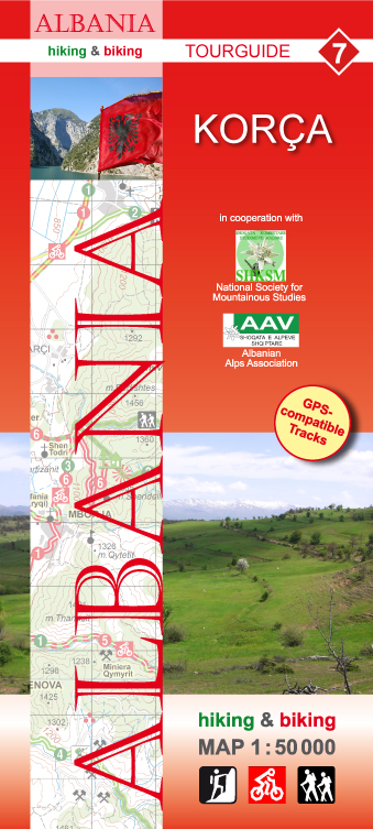
Korca
Description
Links
Facts
Reports
Guides and maps
Lodging
Organisations
Tour operators
GPS
Other
Maps

Stanfords
United Kingdom
United Kingdom
- Korça Huber Hiking & Biking Map
- Korça and Environs area of southern Albania at 1:50,000 in a series of GPS compatible contoured maps from Huber Verlag showing hiking and cycling routes, climbing sites, tourist accommodation, etc. Descriptions cover eight cycling routes and six hiking trails.Maps in this series, prepared in cooperation with the Albanian Alps Associations and... Read more
- Also available from:
- De Zwerver, Netherlands

De Zwerver
Netherlands
Netherlands
- Wandelkaart - Fietskaart 7 Korça | Huber Verlag
- Korça and Environs area of southern Albania at 1:50,000 in a series of GPS compatible contoured maps from Huber Verlag showing hiking and cycling routes, climbing sites, tourist accommodation, etc. Descriptions cover eight cycling routes and six hiking trails.Maps in this series, prepared in cooperation with the Albanian Alps Associations and... Read more

