Kyst til Kyst Stien
Description
- Name Kyst til Kyst Stien
- Length of trail 120 km, 75 miles
- Length in days 6 days
- Start of trail Blåvands Huk
- End of trail Vejle
- Traildino grading EW, Easy walk, nature trail
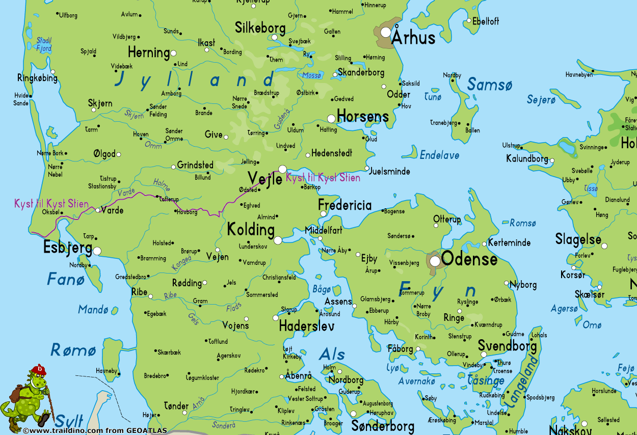
Kyst til Kust Stien, Blåvands Huk to Vejle, 120 km
The Coast to Coast Path runs through central Jutland, from the North Sea to the east coast.
Central Jutland is shaped by the ice of several Ice Ages. The ice both shaped the hills and river valleys, but in different stages. An important features of this trail are the riverbeds. Varde Å is the largest of them, but has unfortunately largely been cana(ba)lised during the past century. The other rivers more or less underwent the same fate. The trail also crosses moors, dunes, deciduous forests and grass lands and fields.
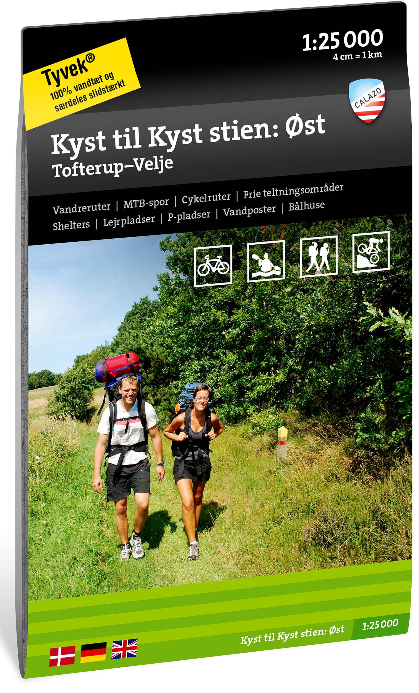
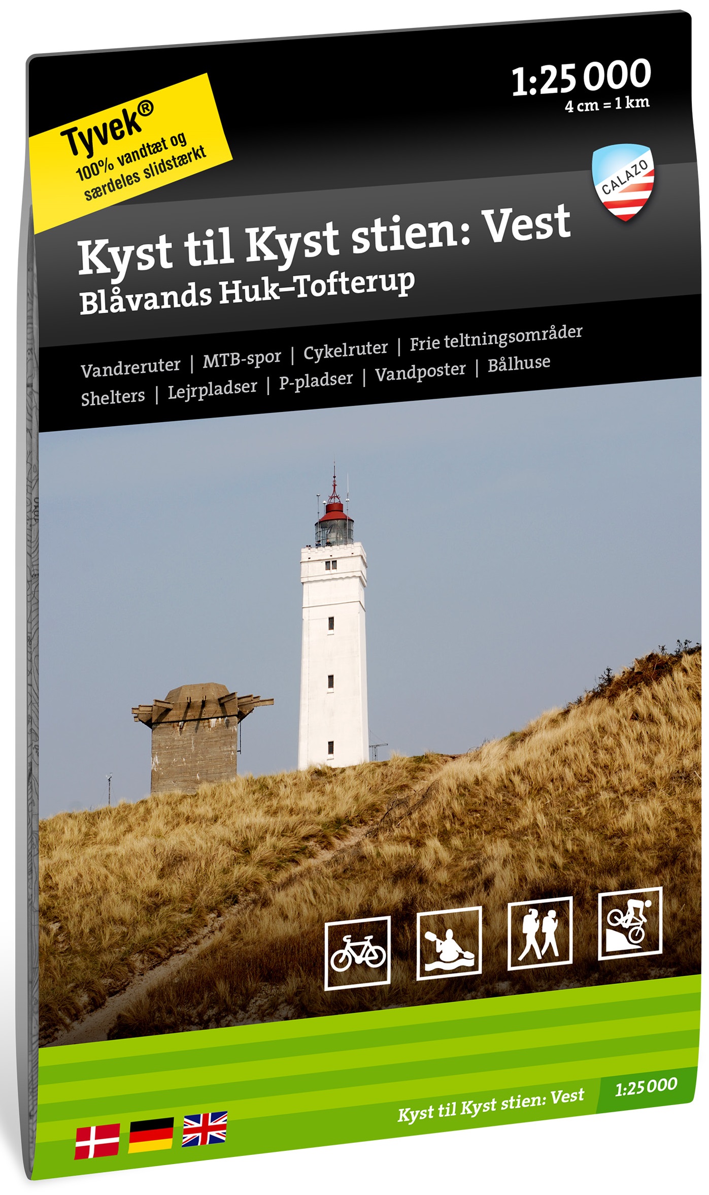
There is an excellent web page of the path, with all necessary information as well as the different maps. Besides, the home page displays a picture of Jutland as it must have looked in the Ice Age, including mammoths!
The Coast to Coast Path is for walkers only. Along the route are simple campsites.


