
Iceland
Description

This rugged North Atlantic island offers great hiking through surprising nature. Vast lava fields spread out next to massive glaciers. Hot streams emerge from boiling springs. Giant waterfalls come roaring down and of course the famous geysers blow hot steam high into the air at regular intervals. For any hiker who loves wide expanses of clear empty sky, phenomenal views and remoteness. Everything in this country is bigger, larger, more colourful, and wetter. Iceland is paradise.
The volcanic most active part of the island is a band running from the south west to the north east.
There are numerous hiking trails in different parts of Iceland, but not all are clearly waymarked. Given frequent fog and the remoteness of Icelandic nature in general, it is necessary that you always know how to use map and compass. Don’t believe people who argue that a compass will be impaired by the local magnetism: not true. A GPS receiver, and plenty of spare batteries, comes in handy too. The most popular routes pass mountain huts at a day’s hike distance. Make reservations in advance. Always bring your own sleeping bag and food.
The most popular routes are:
- Laugavegur, between active volcanos, glaciers and colourful mountains;
- Kjalvegur, a trading route in the remote interior.
Also think of these good hiking area’s
- Þingvellir, the historic lake and pleasant surroundings;
- Mývatn, a beloved lake in the north;
- The eastern fjords;
- The giant glacier Vatnajökull, with many trails around it;
- The very very lonely north coast;
- Jökulsá á Fjöllum river, with its immense waterfalls and spectacular canyons;
- Hornstrandir, the fjord like north western peninsula.
Although Iceland is not as cold a place as it sounds, hikers must be prepared for frequent and sudden weather changes and fog during all seasons. Also you may have to wade across rivers, and this can be dangerous. The summer months (mid June to mid September) are best for hiking. Prepare well.
Trails
Regions


Links
Facts
Reports
Guides and maps
Lodging
Organisations
Tour operators
GPS
Other
Books

United Kingdom
2022
- Also available from:
- De Zwerver, Netherlands

United Kingdom
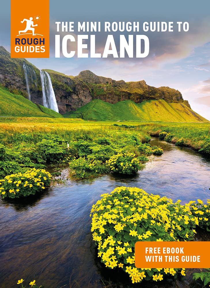
- ICELAND, waterfalls, volcanoes, glaciers, canyons, hot springs, lakes, geysers, craters, lava fields
- Smart Travel Guide for Nature Lovers, Hikers, Trekkers, Photographers Read more

United Kingdom
2020
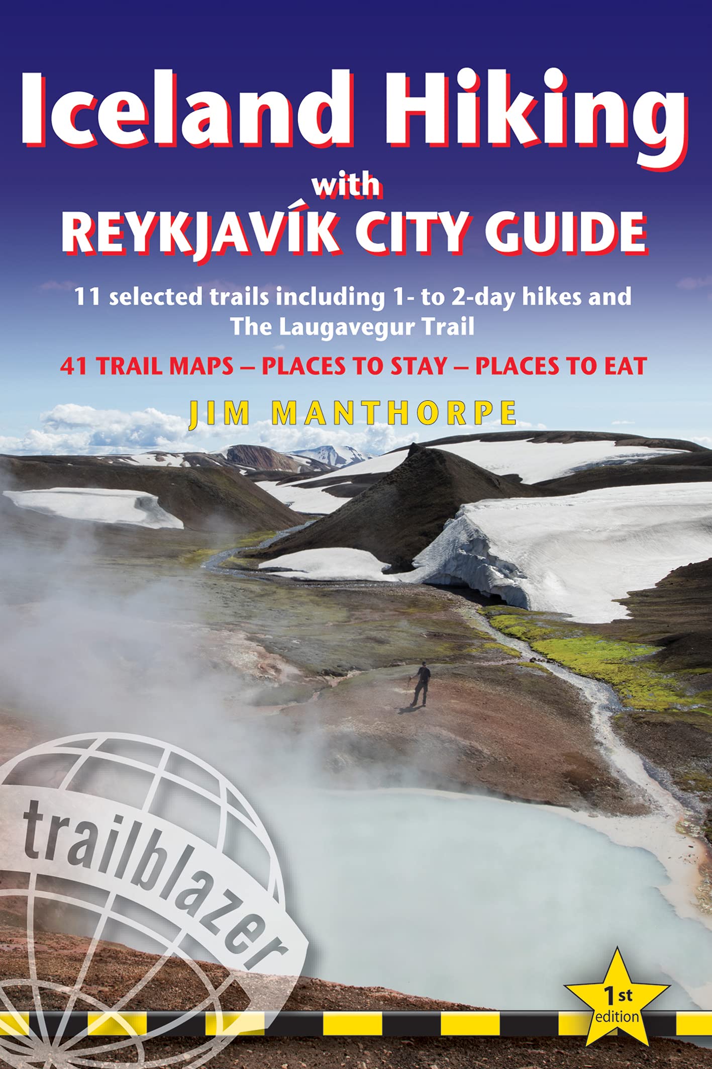
- Iceland Hiking - with Reykjavik City Guide
- 11 selected trails including 1- to 2-day hikes and The Laugavegur Trek Read more
- Also available from:
- De Zwerver, Netherlands
Netherlands
2020
- Wandelgids Iceland Hiking with Reykjavik City Guide | Trailblazer Guides
- 11 selected trails including 1- to 2-day hikes and The Laugavegur Trek Read more

United Kingdom
- Iceland Travel Guide 2023
- Discover the Hidden Gems of Iceland (Your Ultimate 2023 Travel Guide) Read more

United Kingdom
- The Icelandic Dream
- A Guide to Planning Your Perfect Vacation To Iceland Read more


United Kingdom
- ICELAND, waterfalls, volcanoes, glaciers, canyons, hot springs, lakes, geysers, craters, lava fields
- Smart Travel Guide for Nature Lovers, Hikers, Trekkers, Photographers (budget version, b/w) Read more

United Kingdom
2020
- Moon Iceland (Third Edition)
- Waterfalls, Glaciers & Hot Springs Read more
Netherlands
2013
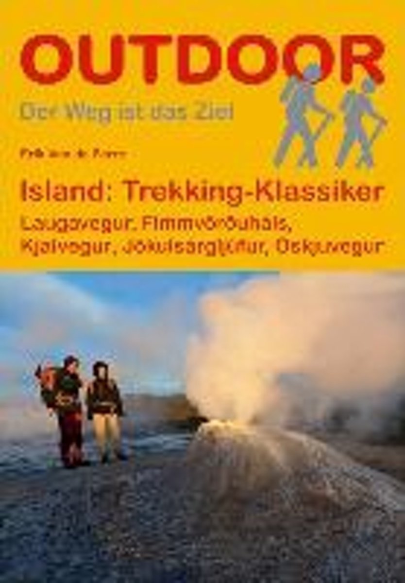
- Island: Trekking Klassiker
- "Island: Trekking-Klassiker" stellt f nf der sehenswertesten Trekkingrouten auf Island vor und liefert alle wichtigen Informationen f r unterwegs. Neben dem bekannten Laugavegur im S den der Insel werden eine Gebirgswanderung ber den Fimmv r uh ls, die Durchquerung des J kuls rglj fur-Nationalparks, eine leichtere Tour durch das westliche... Read more
- Also available from:
- Bol.com, Belgium
- De Zwerver, Netherlands
Belgium
2013
- Island: Trekking Klassiker
- "Island: Trekking-Klassiker" stellt f nf der sehenswertesten Trekkingrouten auf Island vor und liefert alle wichtigen Informationen f r unterwegs. Neben dem bekannten Laugavegur im S den der Insel werden eine Gebirgswanderung ber den Fimmv r uh ls, die Durchquerung des J kuls rglj fur-Nationalparks, eine leichtere Tour durch das westliche... Read more
Netherlands
2019
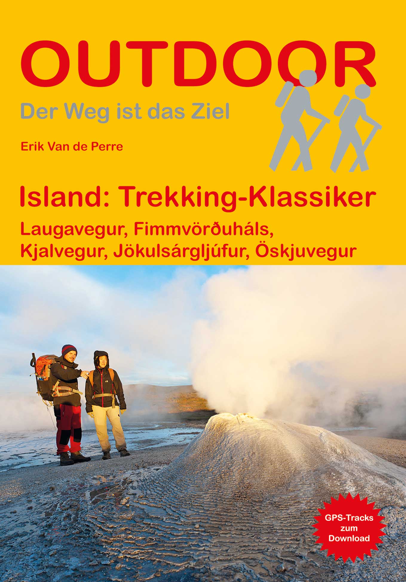
- Wandelgids Trekking Klassiker Island - IJsland | Conrad Stein Verlag
- Die fünf vorgestellten Routen haben sich als Islands Klassiker etabliert. Der Laugavegur (53 km), der bekannteste Trek Islands, führt von der Hochlandoase Landmannalaugar durch bunte Rhyolithberge und karge Sand- und Lavawüsten in vier Tagesetappen nach Þórsmörk. Tiefe Schluchten, rauschende Wasserfälle und glitzernde Eiszungen prägen die... Read more

United Kingdom
2015
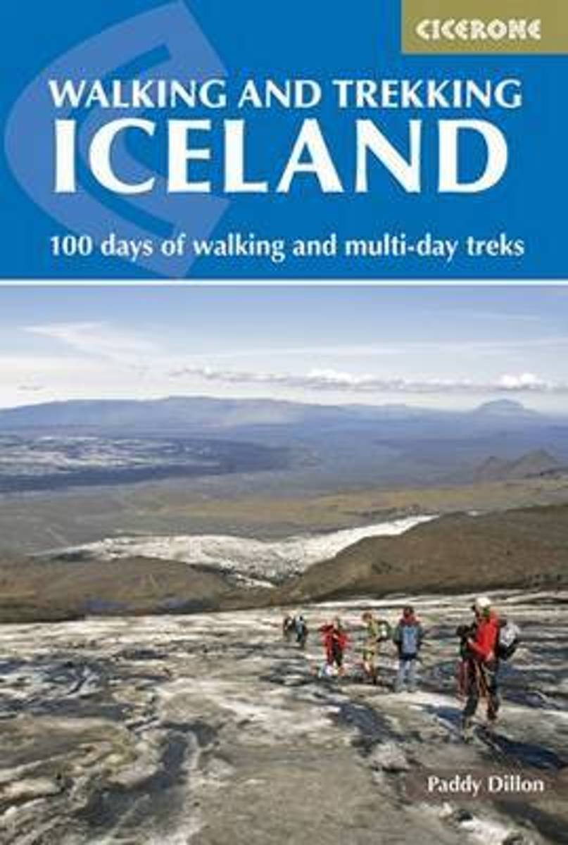
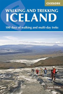
- Iceland, Walking and Trekking - 100 days of walking and multi-day treks
- Walking and Trekking in Iceland from Cicerone Press with 49 day walks and 10 multi-stage treks in various types of terrain including the country’s geothermal areas, presenting both popular classics like the Laugavegur trail and lesser known routes.The walks are grouped geographically to provide a variety of choices in a given area, which is... Read more
- Also available from:
- The Book Depository, United Kingdom
- Bol.com, Netherlands
- Bol.com, Belgium
- De Zwerver, Netherlands

United Kingdom
2015
- Walking and Trekking in Iceland
- 100 days of walking and multi-day treks Read more
Netherlands
2015
- Walking and trekking in Iceland
- This hiking and trekking guidebook offers a total of 49 day hikes and 10 multi-stage treks set right across the magnificent country of Iceland. With three national parks including the mighty Vatnajökull, it is a country of incredible beauty, and its capital, Reykjavík, is an established and easy-to-get-to destination. Including popular, such as... Read more
Belgium
2015
- Walking and trekking in Iceland
- This hiking and trekking guidebook offers a total of 49 day hikes and 10 multi-stage treks set right across the magnificent country of Iceland. With three national parks including the mighty Vatnajökull, it is a country of incredible beauty, and its capital, Reykjavík, is an established and easy-to-get-to destination. Including popular, such as... Read more
Netherlands
2015
- Wandelgids Walking and Trekking in Iceland - IJsland | Cicerone
- This guidebook to walking routes in Iceland offers 49 day walks and 10 multi-stage treks including the classic Laugavegur Trail. The total of 100 days of routes described cater for most abilities, from waymarked walks to challenging glacier crossings. Information on public transport, accommodation, facilities and budget travel tips also included. Read more
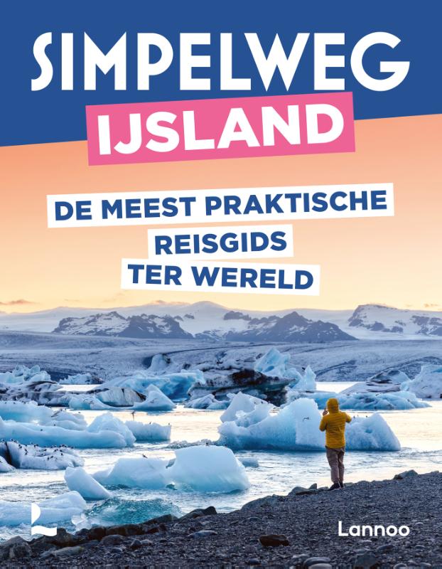
Netherlands
2010
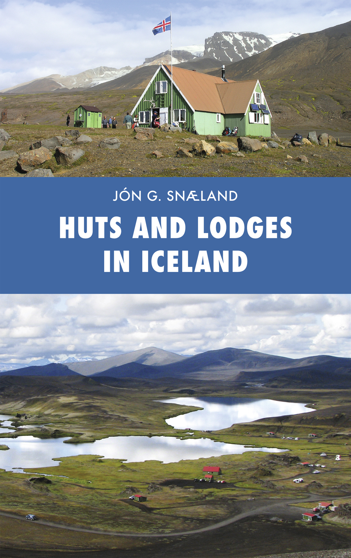
- Reisgids Huts and Lodges in Iceland - Ijsland | Skrudda
- This book illustrates in text and images upwards of 140 huts, old and new, that have been built throughout Iceland. The book contains a vast amount of information about the huts, their history and furnishings, in addition to mentioning their owners and supervisors. Description includes a photo of each hut, and their position is indicated by GPS... Read more
Netherlands
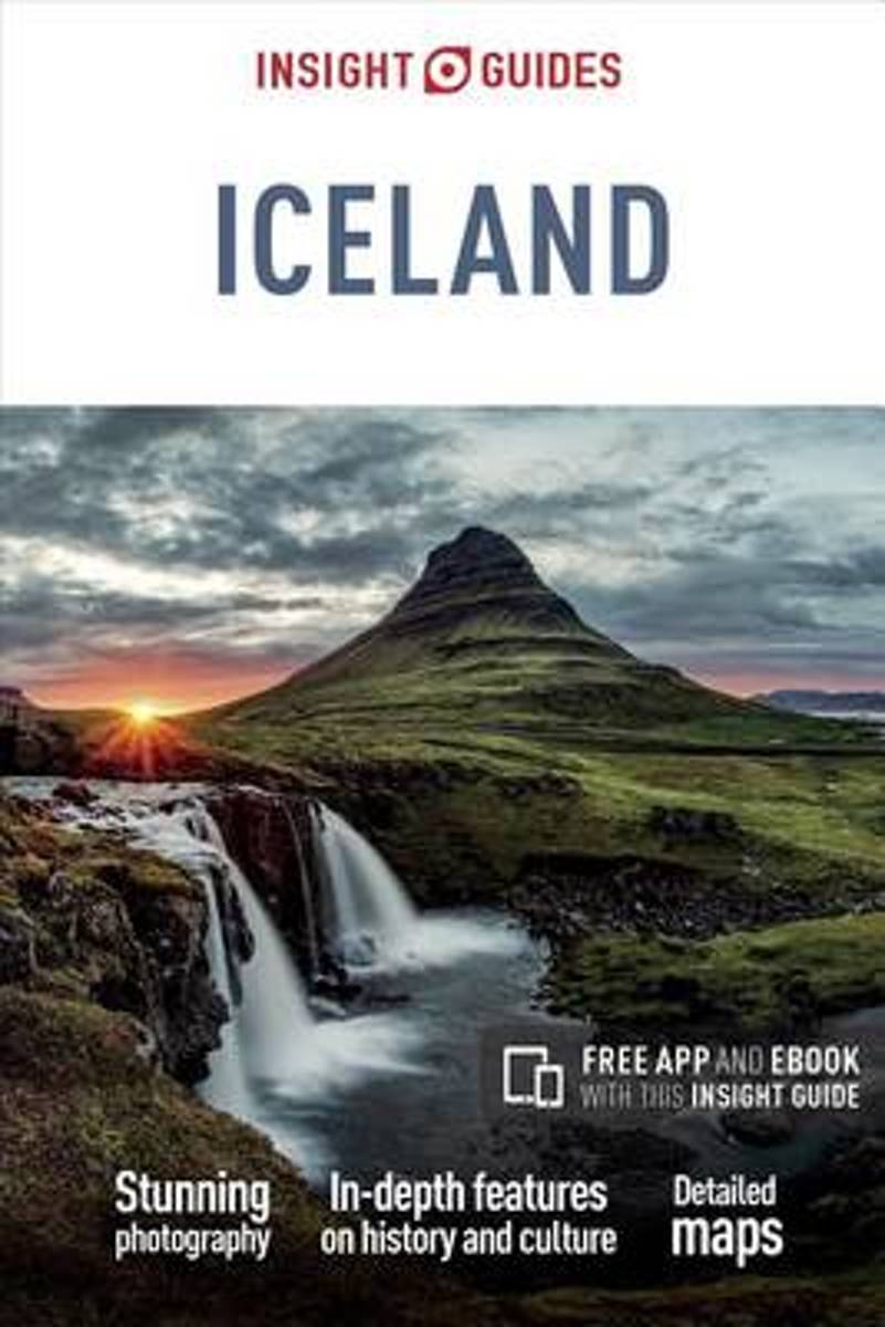
2017
- Insight Guides Iceland
- To say that Iceland is a country bristling with natural beauty is something of an understatement. Volcanoes, lagoons, glaciers, waterfalls, black-sand beaches and geysers densely populate its landscape. The lively capital city of Reykjavik also has a lot to offer visitors, from the stunning Blue Lagoon to its rich cultural heritage. Be inspired... Read more
- Also available from:
- Bol.com, Belgium
Belgium
2017
- Insight Guides Iceland
- To say that Iceland is a country bristling with natural beauty is something of an understatement. Volcanoes, lagoons, glaciers, waterfalls, black-sand beaches and geysers densely populate its landscape. The lively capital city of Reykjavik also has a lot to offer visitors, from the stunning Blue Lagoon to its rich cultural heritage. Be inspired... Read more
Netherlands
2024
Maps

United Kingdom
- Iceland South East: Southern Vatnajökull
- South-Eastern Iceland at 1:200,000 on a detailed map from Mál og Menning with exceptionally vivid presentation of the country’s topography and landscape, hard surface or gravel roads and numerous country tracks, superb drawings of local birds and flowers, etc. Coverage extends southwards from the central part of the Vatnajökull Glacier with... Read more

United Kingdom
- Vopnafjörður
- Vopnafjörður, map no. 28, in the topographic survey of Iceland at 1:100,000 published by Mál og menning, with excellent, vivid presentation of the terrain, footpaths and bridleways, campsites, etc. The maps have contours at 20m intervals, enhanced by bold relief shading plus colouring and/or graphics to show glaciers, lava fields, sands and... Read more

United Kingdom
- Langanes
- Langanes, map no. 29, in the topographic survey of Iceland at 1:100,000 published by Mál og menning, with excellent, vivid presentation of the terrain, footpaths and bridleways, campsites, etc. The maps have contours at 20m intervals, enhanced by bold relief shading plus colouring and/or graphics to show glaciers, lava fields, sands and... Read more

United Kingdom
- Barðaströnd
- Barðaströnd, map no. 5, in the topographic survey of Iceland at 1:100,000 published by Mál og menning, with excellent, vivid presentation of the terrain, footpaths and bridleways, campsites, etc. The maps have contours at 20m intervals, enhanced by bold relief shading plus colouring and/or graphics to show glaciers, lava fields, sands and... Read more

United Kingdom
- Öxarfjörður
- Öxarfjörður, map no. 19, in the topographic survey of Iceland at 1:100,000 published by Mál og menning, with excellent, vivid presentation of the terrain, footpaths and bridleways, campsites, etc. The maps have contours at 20m intervals, enhanced by bold relief shading plus colouring and/or graphics to show glaciers, lava fields, sands and... Read more

United Kingdom
- Iceland Cental: Langjökull - Hofsjökull - Vatnajökull
- Central Iceland at 1:200,000 on a detailed map from Mál og Menning with exceptionally vivid presentation of the country’s topography and landscape, hard surface or gravel roads and numerous country tracks, superb drawings of local birds and flowers, etc. Coverage extends from Havmmstangi in the north-western corner of the map to the Grímsvötn... Read more

United Kingdom
- Seyðisfjörður
- Seyðisfjörður, map no. 30, in the topographic survey of Iceland at 1:100,000 published by Mál og menning, with excellent, vivid presentation of the terrain, footpaths and bridleways, campsites, etc. The maps have contours at 20m intervals, enhanced by bold relief shading plus colouring and/or graphics to show glaciers, lava fields, sands and... Read more

United Kingdom
- Reykjanesskagi
- Reykjanesskagi, map no. 1, in the topographic survey of Iceland at 1:100,000 published by Mál og menning, with excellent, vivid presentation of the terrain, footpaths and bridleways, campsites, etc. The maps have contours at 20m intervals, enhanced by bold relief shading plus colouring and/or graphics to show glaciers, lava fields, sands and... Read more

United Kingdom
- Iceland 1:100,000 Complete Set (31 maps)
- Iceland at 1:100,000 in a Complete Set of 31 topographic survey maps published by Mál og menning, with excellent, vivid presentation of the terrain, footpaths and bridleways, campsites, etc. The maps have contours at 20m intervals, enhanced by bold relief shading plus colouring and/or graphics to show glaciers, lava fields, sands and mudflats,... Read more

United Kingdom
- Arnarfjörður
- Arnarfjörður, map no. 6, in the topographic survey of Iceland at 1:100,000 published by Mál og menning, with excellent, vivid presentation of the terrain, footpaths and bridleways, campsites, etc. The maps have contours at 20m intervals, enhanced by bold relief shading plus colouring and/or graphics to show glaciers, lava fields, sands and... Read more

United Kingdom
- Mývatnsöræfi
- Mývatnsöræfi, map no. 21, in the topographic survey of Iceland at 1:100,000 published by Mál og menning, with excellent, vivid presentation of the terrain, footpaths and bridleways, campsites, etc. The maps have contours at 20m intervals, enhanced by bold relief shading plus colouring and/or graphics to show glaciers, lava fields, sands and... Read more


United Kingdom
- Reyðarfjörður
- Reyðarfjörður, map no. 31, in the topographic survey of Iceland at 1:100,000 published by Mál og menning, with excellent vivid presentation of the terrain, footpaths and bridleways, campsites, etc. The maps have contours at 20m intervals, enhanced by bold relief shading plus colouring and/or graphics to show glaciers, lava fields, sands and... Read more

United Kingdom
- Dalir
- Dalir, map no. 4, in the topographic survey of Iceland at 1:100,000 published by Mál og menning, with excellent, vivid presentation of the terrain, footpaths and bridleways, campsites, etc. The maps have contours at 20m intervals, enhanced by bold relief shading plus colouring and/or graphics to show glaciers, lava fields, sands and mudflats,... Read more

United Kingdom
- Jökulfirðir
- Jökulfirðir, map no. 7, in the topographic survey of Iceland at 1:100,000 published by Mál og menning, with excellent, vivid presentation of the terrain, footpaths and bridleways, campsites, etc. The maps have contours at 20m intervals, enhanced by bold relief shading plus colouring and/or graphics to show glaciers, lava fields, sands and... Read more