Lapland
Description
Map
Trails in this region
Links
Facts
Reports
Guides and maps
Lodging
Organisations
Tour operators
GPS
Other
Books

Stanfords
United Kingdom
2011
United Kingdom
2011
- Skye & The Western Isles
- Skye & the Western Isles is a fully revised new edition of the only comprehensive guide to Scotland`s Western Isles, which include Skye, Lewis, Harris, Uist, Iona, Jura, Islay and Arran. These enchanting islands reward the visitor with a rich variety of terrain and wildlife from the stark beauty of the Cuillin mountains of Skye to the raging... Read more

Stanfords
United Kingdom
United Kingdom
- Tärnaby - Hemavan - Ammarnäs Lantmateriet AC2
- Mountain areas of central and northern Sweden on waterproof and tear-resistant, GPS compatible topographic “Fjällkartan” maps at 1:100,000 and 1:50,000 from Lantmäteriet - the country’s national survey organization, with hiking and ski routes, campsites and youth hostels, etc. Relief is shown by contours at 20m intervals and enhanced by relief... Read more

The Book Depository
United Kingdom
2019
United Kingdom
2019
- Trekking the Kungsleden
- The King's Trail through Northern Sweden Read more
- Also available from:
- De Zwerver, Netherlands

De Zwerver
Netherlands
2021
Netherlands
2021
- Wandelgids Trekking The Kungsleden | Cicerone
- Guide to the Kungsleden (King's Trail), Sweden's premier long-distance trek. Lying mostly within the Arctic Circle, the 460km route across Lappland is presented in 28 stages but can be walked in shorter sections if preferred. Includes an optional ascent of Kebnekaise, Sweden's highest peak, plus notes on huts and wild camping. Read more
De Zwerver
Netherlands
2024
Netherlands
2024
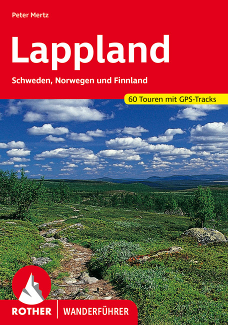
- Wandelgids Lappland - Lapland | Rother Bergverlag
- Uitstekende wandelgids met een groot aantal dagtochten in dal en hooggebergte. Met praktische informatie en beperkt kaartmateriaal! Wandelingen in verschillende zwaarte weergegeven in rood/blauw/zwart. Lappland ist die Heimat des Urvolkes der Samis, der Rentiere, der Fjälls, der Bären sowie eines unermesslichen Reichtums an Natur. Die Region,... Read more
Bol.com
Netherlands
Netherlands
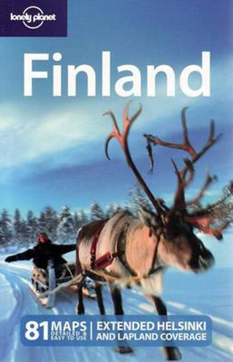
- Lonely Planet Finland
- #1 best-selling guide to Finland*Lonely Planet Finland is your passport to the most relevant, up-to-date advice on what to see and skip, and what hidden discoveries await you. Hike through forests and fells, spectacular gorges and ravines, fizz over the snow behind a team of huskies on an overnight dog-sled safari, then change the pace with... Read more
- Also available from:
- Bol.com, Belgium

Bol.com
Belgium
Belgium
- Lonely Planet Finland
- #1 best-selling guide to Finland*Lonely Planet Finland is your passport to the most relevant, up-to-date advice on what to see and skip, and what hidden discoveries await you. Hike through forests and fells, spectacular gorges and ravines, fizz over the snow behind a team of huskies on an overnight dog-sled safari, then change the pace with... Read more
Bol.com
Netherlands
2010
Netherlands
2010
- Nordskandinavien - Der Wanderführer
- Aktualisierte und erweiterte Neuauflage: Dieses Buch enthält die erste vollständige Beschreibung des 1993 eingeweihten, sehr populären Nordkalottleden. 800 Kilometer führt dieser schönste und längste Wanderweg Nordskandinaviens durch die Berge Norwegens, Schwedens und Finnlands, überquert dabei 15 Mal die Grenzen und führt auch über den... Read more
- Also available from:
- Bol.com, Belgium

Bol.com
Belgium
2010
Belgium
2010
- Nordskandinavien - Der Wanderführer
- Aktualisierte und erweiterte Neuauflage: Dieses Buch enthält die erste vollständige Beschreibung des 1993 eingeweihten, sehr populären Nordkalottleden. 800 Kilometer führt dieser schönste und längste Wanderweg Nordskandinaviens durch die Berge Norwegens, Schwedens und Finnlands, überquert dabei 15 Mal die Grenzen und führt auch über den... Read more
Bol.com
Netherlands
Netherlands
- ...Just Till Over There!
- The Sarek Nationalpark - mystical vastness within the universe of trekkers in Northern Europe. According to the desire of the nationalpark management to keep this alpine mountainscape in its originality there are intentionally no huts , no chuck depots and only a few bridges, that were established for the local Sami. The Sarek Nationalpark was... Read more
- Also available from:
- Bol.com, Belgium

Bol.com
Belgium
Belgium
- ...Just Till Over There!
- The Sarek Nationalpark - mystical vastness within the universe of trekkers in Northern Europe. According to the desire of the nationalpark management to keep this alpine mountainscape in its originality there are intentionally no huts , no chuck depots and only a few bridges, that were established for the local Sami. The Sarek Nationalpark was... Read more
De Zwerver
Netherlands
2014
Netherlands
2014
- Reisgids Norwegen: Nordkap-Route - Noorwegen Noordkaap | Conrad Stein Verlag
- Der Weg ist das Ziel OutdoorHandbuch. 6. Auflage. Read more

Stanfords
United Kingdom
United Kingdom
- Sweden
- The clean air, smelling of spruce and moss in the summer and of newly fallen snow in winter, is unforgettable in Sweden. Written by a native, this is the definitive guide to a country that is nearly 80 per cent mountains, vast forests, lakes and wilderness. But this book covers all, from cities and villages to the Midnight Sun Coast, the... Read more
- Also available from:
- Bol.com, Netherlands
- Bol.com, Belgium

Bol.com
Netherlands
Netherlands
- Adventure Guide to Sweden
- The clean air, smelling of spruce and moss in the summer and of newly fallen snow in winter, is unforgettable in Sweden. Written by a native, this is the definitive guide to a country that is nearly 80 per cent mountains, vast forests, lakes and wilderness. But this book covers all, from cities and villages to the Midnight Sun Coast, the... Read more

Bol.com
Belgium
Belgium
- Adventure Guide to Sweden
- The clean air, smelling of spruce and moss in the summer and of newly fallen snow in winter, is unforgettable in Sweden. Written by a native, this is the definitive guide to a country that is nearly 80 per cent mountains, vast forests, lakes and wilderness. But this book covers all, from cities and villages to the Midnight Sun Coast, the... Read more
- Also available from:
- Bol.com, Netherlands
- Bol.com, Belgium
Bol.com
Netherlands
Netherlands
- Classic Hikes of the World
- This book will help you realize your dreams of hiking among the world's highest peaks and most scenic canyons, discovering wilderness far from the clamor of civilization, encountering rare birds and animals, glorying in sunsets over glacier-clad ranges, and feeling the joy and achievement of hiking some of the world's most spectacular trails.... Read more

Bol.com
Belgium
Belgium
- Classic Hikes of the World
- This book will help you realize your dreams of hiking among the world's highest peaks and most scenic canyons, discovering wilderness far from the clamor of civilization, encountering rare birds and animals, glorying in sunsets over glacier-clad ranges, and feeling the joy and achievement of hiking some of the world's most spectacular trails.... Read more
Bol.com
Netherlands
Netherlands
- ...Nur Noch Bis Dahinten!
- Der Sarek - mystische Weiten im Wanderuniversum des n rdlichen Europa. Dem Wunsch der Nationalparkverwaltung entsprechend, diese alpine Gebirgslandschaft in ihrer Urspr nglichkeit zu erhalten, gibt es hier anders als im brigen Nordland bewusst keine H ttenstationen, keine Proviantl ger und nur wenige Br cken, die f r die heimischen Samen... Read more
- Also available from:
- Bol.com, Belgium

Bol.com
Belgium
Belgium
- ...Nur Noch Bis Dahinten!
- Der Sarek - mystische Weiten im Wanderuniversum des n rdlichen Europa. Dem Wunsch der Nationalparkverwaltung entsprechend, diese alpine Gebirgslandschaft in ihrer Urspr nglichkeit zu erhalten, gibt es hier anders als im brigen Nordland bewusst keine H ttenstationen, keine Proviantl ger und nur wenige Br cken, die f r die heimischen Samen... Read more
De Zwerver
Netherlands
2017
Netherlands
2017
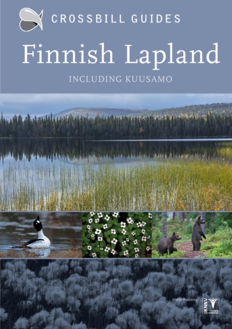
- Natuurgids Crossbill Guides Fins Lapland - Finnish Lapland | KNNV Uitgeverij
- Zeer gedegen natuurgids van het betreffende gebied. Unieke gids met streekinformatie, plekken waar je echt moet zijn, routes en veel achtergrondinformatie over het landschap, de ecologie, ontstaansgeschiedenis en de flora en fauna. De routes en plekken die beschreven worden in de gids zijn zo gekozen dat je een heel compleet beeld krijgt van... Read more
- Also available from:
- Bol.com, Belgium
- De Zwerver, Netherlands
De Zwerver
Netherlands
2019
Netherlands
2019
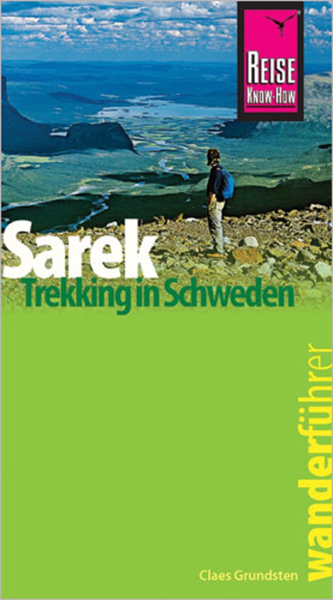
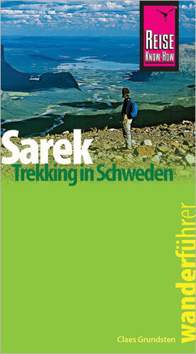
- Wandelgids Sarek Trekking in Schweden | Reise Know-How Verlag
- Der Wanderführer Sarek beschreibt Schwedens wildestes Gebirge im Norden des Landes: vom Stora Sjöfallet über den Nationalpark Sarek bis Kvikkjokk im Süden. Die beeindruckende Landschaft ist gänzlich unberührt. In diesem Teil Lapplands gibt es sowohl dramatisches Fjäll als auch fruchtbare Täler, die zahlreiche Wildtiere beheimaten. Die 20... Read more
Maps

Stanfords
United Kingdom
United Kingdom
- Asarna
- Topographic survey of Sweden at 1:100,000, the Vägkartan, from the Lantmäteriet, covering most of the country in 79 double-sided maps. Please note: the mountainous regions of central and northern Sweden are not covered by this series but presented in a separate “Fjällkartan - Mountain Map” series also listed on our website.Each 1:100,000... Read more

Stanfords
United Kingdom
United Kingdom
- Umeå
- Topographic survey of Sweden at 1:100,000, the Vägkartan, from the Lantmäteriet, covering most of the country in 79 double-sided maps. Please note: the mountainous regions of central and northern Sweden are not covered by this series but presented in a separate “Fjällkartan - Mountain Map” series also listed on our website.Each 1:100,000... Read more

Stanfords
United Kingdom
United Kingdom
- Skellefteå
- Topographic survey of Sweden at 1:100,000, the Vägkartan, from the Lantmäteriet, covering most of the country in 79 double-sided maps. Please note: the mountainous regions of central and northern Sweden are not covered by this series but presented in a separate “Fjällkartan - Mountain Map” series also listed on our website.Each 1:100,000... Read more

Stanfords
United Kingdom
United Kingdom
- Saxnäs - Borgafjäll - Gäddede Norstedts Outdoor 8
- This map of Saxnas Borgafjall Gaddede in 1:75,000 is part of a series of topographic maps from Norstedts Kartforlaget which includes 28 outdoor maps covering the mountain areas and popular recreation areas in southern Sweden. The maps in this series have a new look and are printed on a durable and water resistant paper. Cartography, material... Read more
Stanfords
United Kingdom
United Kingdom
- Salla - Savukoski Recreational Map
- Salla - Savukoski area of Finland at 1:100,000 in a series of beautiful and informative maps of popular outdoor leisure areas with cartography of the country’s topographic survey. Excellent use of colours, shading and symbols provides a very detailed picture of the terrain and vegetation. Extensive overprint highlights routes for hiking, and/or... Read more

Stanfords
United Kingdom
United Kingdom
- Ånge
- Topographic survey of Sweden at 1:100,000, the Vägkartan, from the Lantmäteriet, covering most of the country in 79 double-sided maps. Please note: the mountainous regions of central and northern Sweden are not covered by this series but presented in a separate “Fjällkartan - Mountain Map” series also listed on our website.Each 1:100,000... Read more

Stanfords
United Kingdom
United Kingdom
- Grövelsjön - Rogen Lantmateriet W51
- Mountain areas of central and northern Sweden on waterproof and tear-resistant, GPS compatible topographic “Fjällkartan” maps at 1:100,000 and 1:50,000 from Lantmäteriet - the country’s national survey organization, with hiking and ski routes, campsites and youth hostels, etc. Relief is shown by contours at 20m intervals and enhanced by relief... Read more

Stanfords
United Kingdom
United Kingdom
- Dorotea
- Topographic survey of Sweden at 1:100,000, the Vägkartan, from the Lantmäteriet, covering most of the country in 79 double-sided maps. Please note: the mountainous regions of central and northern Sweden are not covered by this series but presented in a separate “Fjällkartan - Mountain Map” series also listed on our website.Each 1:100,000... Read more

Stanfords
United Kingdom
United Kingdom
- Sorsele
- Topographic survey of Sweden at 1:100,000, the Vägkartan, from the Lantmäteriet, covering most of the country in 79 double-sided maps. Please note: the mountainous regions of central and northern Sweden are not covered by this series but presented in a separate “Fjällkartan - Mountain Map” series also listed on our website.Each 1:100,000... Read more

Stanfords
United Kingdom
United Kingdom
- Havoysund Nordeca Tourist Route 20017
- The Havøysund National Tourist Route Map belongs to a series of 18 map and postcards sets describing popular tourist routes all over Norway. The map set includes a map in 1: 50,000 presenting an accurate topography (based on the Norwegian topographic survey) which describes local footpaths, cycle or ski routes, sport and recreational... Read more

Stanfords
United Kingdom
United Kingdom
- Helvetinjärvi - Seitseminen
- Helvetinjärvi – Seitseminen area of Finland at 1:20,000 in a series of beautiful and informative maps of popular outdoor leisure areas with cartography of the country’s topographic survey. Excellent use of colours, shading and symbols provides a very detailed picture of the terrain and vegetation. Extensive overprint highlights routes for... Read more

Stanfords
United Kingdom
United Kingdom
- Korpilombolo
- Topographic survey of Sweden at 1:100,000, the Vägkartan, from the Lantmäteriet, covering most of the country in 79 double-sided maps. Please note: the mountainous regions of central and northern Sweden are not covered by this series but presented in a separate “Fjällkartan - Mountain Map” series also listed on our website.Each 1:100,000... Read more

Stanfords
United Kingdom
United Kingdom
- Muotkatunturit
- Muotkatunturit area at 1:100,000 on a double-sided map in a series of beautiful and informative maps covering Finland’s most popular outdoor leisure areas with cartography from Karttakeskus, the country’s topographic survey. Maps in this series have excellent use of colours, shading and symbols to provide a very detailed picture of the terrain... Read more

Stanfords
United Kingdom
United Kingdom
- Sundsvall
- Topographic survey of Sweden at 1:100,000, the Vägkartan, from the Lantmäteriet, covering most of the country in 79 double-sided maps. Please note: the mountainous regions of central and northern Sweden are not covered by this series but presented in a separate “Fjällkartan - Mountain Map” series also listed on our website.Each 1:100,000... Read more

Stanfords
United Kingdom
United Kingdom
- Åsele
- Topographic survey of Sweden at 1:100,000, the Vägkartan, from the Lantmäteriet, covering most of the country in 79 double-sided maps. Please note: the mountainous regions of central and northern Sweden are not covered by this series but presented in a separate “Fjällkartan - Mountain Map” series also listed on our website.Each 1:100,000... Read more


