
Three Peaks
Description
The "Three Peaks" refer to the highest peaks in Scotland, England and Wales. The Three Peaks challenge involves climbing Snowdon, Scafell Pike and Ben Nevis, in under 24 hours.
Links
Facts
Reports
Guides and maps
Lodging
Organisations
Tour operators
GPS
Other
Books

Stanfords
United Kingdom
2019
United Kingdom
2019
- West Highland Way: Glasgow to Fort William
- Fully revised 7th edition. The West Highland Way passes through some of the most spectacular scenery in all of Britain. From the outskirts of Glasgow it winds for 96 miles (154.5km) along the wooded banks of Loch Lomond, across the wilderness of Rannoch Moor, over the mountains above Glencoe to a dramatic finish passing Ben Nevis - Britain`s... Read more

Stanfords
United Kingdom
United Kingdom
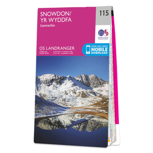
- Snowdon & Caernarfon OS Landranger Active Map 115 (waterproof)
- Waterproof and tear-resistant OS Active version of map No. 115 from the Ordnance Survey’s Landranger series at 1:50,000, with contoured and GPS compatible topographic mapping plus tourist information.MOBILE DOWNLOADS: As well as the physical edition of the map, each Landranger title now includes a code for downloading after purchase its digital... Read more

Stanfords
United Kingdom
2016
United Kingdom
2016
- Snowdon & Caernarfon OS Landranger Map 115 (paper)
- Paper version of map No. 115 from the Ordnance Survey’s Landranger series at 1:50,000, with contoured and GPS compatible topographic mapping plus tourist information.MOBILE DOWNLOADS: As well as the physical edition of the map, each Landranger title now includes a code for downloading after purchase its digital version onto your smartphone or... Read more
- Also available from:
- The Book Depository, United Kingdom
- De Zwerver, Netherlands

De Zwerver
Netherlands
2016
Netherlands
2016

Stanfords
United Kingdom
2015
United Kingdom
2015
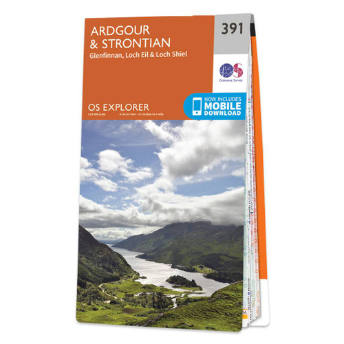
- Ardgour & Strontian - Glenfinnan, Loch Eil & Loch Shiel OS Explorer Map 391 (paper)
- Ardgour, Strontian, Glenfinnan, Loch Eil and Loch Shiel area on a detailed topographic and GPS compatible map No. 391, paper version, from the Ordnance Survey’s 1:25,000 Explorer series. MOBILE DOWNLOADS: this title and all the other OS Explorer maps include a code for downloading after purchase the digital version onto your smartphone or... Read more
- Also available from:
- The Book Depository, United Kingdom
- De Zwerver, Netherlands

De Zwerver
Netherlands
2015
Netherlands
2015

The Book Depository
United Kingdom
2016
United Kingdom
2016
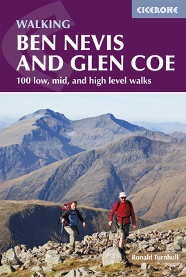
- Ben Nevis and Glen Coe
- 100 low, mid, and high level walks Read more
- Also available from:
- De Zwerver, Netherlands
De Zwerver
Netherlands
2017
Netherlands
2017
- Wandelgids Ben Nevis and Glen Coe | Cicerone
- 100 Low, Mid, and High Level Walks Read more

Stanfords
United Kingdom
2016
United Kingdom
2016
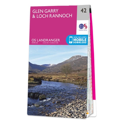
- Glen Garry & Loch Rannoch OS Landranger Map 42 (paper)
- Paper version of map No. 42 from the Ordnance Survey’s Landranger series at 1:50,000, with contoured and GPS compatible topographic mapping plus tourist information.MOBILE DOWNLOADS: As well as the physical edition of the map, each Landranger title now includes a code for downloading after purchase its digital version onto your smartphone or... Read more
- Also available from:
- The Book Depository, United Kingdom
- De Zwerver, Netherlands

De Zwerver
Netherlands
2016
Netherlands
2016

Stanfords
United Kingdom
2016
United Kingdom
2016
- Great Glen Way Cicerone Map Booklet
- The Great Glen Way between Fort William and Inverness along Loch Lochy and Loch Lomond on mapping at 1:25,000 from the Ordnance Survey’s Explorer series in a pocket-size booklet from Cicerone Press. The 124km / 79-mile trail is presented with a route profile, plus summaries for each section showing GPS coordinates for the start and finish,... Read more
- Also available from:
- The Book Depository, United Kingdom

The Book Depository
United Kingdom
2016
United Kingdom
2016
- The Great Glen Way Map Booklet
- 1:25,000 OS Route Mapping Read more

- Also available from:
- De Zwerver, Netherlands
De Zwerver
Netherlands
2014
Netherlands
2014

- Also available from:
- De Zwerver, Netherlands

Stanfords
United Kingdom
2015
United Kingdom
2015
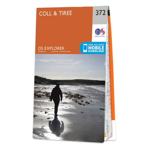
- Coll & Tiree OS Explorer Map 372 (paper)
- The islands of Coll and Tiree on a detailed topographic and GPS compatible map No. 372, paper version, from the Ordnance Survey’s 1:25,000 Explorer series.MOBILE DOWNLOADS: this title and all the other OS Explorer maps include a code for downloading after purchase the digital version onto your smartphone or tablet for viewing on the OS... Read more
- Also available from:
- The Book Depository, United Kingdom
- De Zwerver, Netherlands

De Zwerver
Netherlands
2015
Netherlands
2015

Stanfords
United Kingdom
2015
United Kingdom
2015
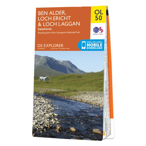
- Ben Alder, Loch Ericht & Loch Laggan - Dalwhinnie OS Explorer Map OL50 (paper)
- Ben Alder, Loch Ericht and Loch Laggan area of the Scottish Highlands on a detailed topographic and GPS compatible map OL50, paper version, from the Ordnance Survey’s 1:25,000 Explorer series. Coverage includes a small section of the Cairngorms National Park near Dalwhinnie, 16 Munro peaks including Geal Charn, Carn Dearg, and Beinn na Lap,... Read more
- Also available from:
- The Book Depository, United Kingdom
- De Zwerver, Netherlands

De Zwerver
Netherlands
2015
Netherlands
2015

Stanfords
United Kingdom
2016
United Kingdom
2016
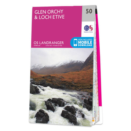
- Glen Orchy, Loch Etive, Pateley Bridge & Leyburn OS Landranger Map 50 (paper)
- Paper version of map No. 50 from the Ordnance Survey’s Landranger series at 1:50,000, with contoured and GPS compatible topographic mapping plus tourist information.MOBILE DOWNLOADS: As well as the physical edition of the map, each Landranger title now includes a code for downloading after purchase its digital version onto your smartphone or... Read more
- Also available from:
- The Book Depository, United Kingdom
- De Zwerver, Netherlands

De Zwerver
Netherlands
2016
Netherlands
2016

More books…
Maps

Stanfords
United Kingdom
United Kingdom
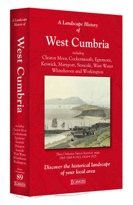
- West Cumbria 1901-1904
- Map No. 89, West Cumbria 1901-1904, in the Cassini Historical Series of old Ordnance Survey mapping of England and Wales at 1:50,000 in a format designed to offer a convenient comparison with the present day coverage from the OS, and most locations in three different editions. Old historical maps have been combined so that the sheet lines... Read more

Stanfords
United Kingdom
United Kingdom
- National 3 Peaks Challenge Minimaps Set: Ben Nevis, Scafell Pike and Snowdon.
- The three peaks which are part of the National Three Peaks Challenge: Ben Nevis, Scafell Pike and Snowdon shown on handy size, waterproof and tear-resistant extracts from the Ordnance Survey 1:25,000 Explorer series. The three maps are sold together in a presentation wallet which also includes brief descriptions and spaces for recording your... Read more
Stanfords
United Kingdom
United Kingdom
- Penrith and Keswick 1901-1904
- Map No. 90, Penrith and Keswick 1901-1904, in the Cassini Historical Series of old Ordnance Survey mapping of England and Wales at 1:50,000 in a format designed to offer a convenient comparison with the present day coverage from the OS, and most locations in three different editions. Old historical maps have been combined so that the sheet... Read more
Stanfords
United Kingdom
United Kingdom
- West Cumbria 1864-1869
- Map No. 89, West Cumbria 1864-1869, in the Cassini Historical Series of old Ordnance Survey mapping of England and Wales at 1:50,000 in a format designed to offer a convenient comparison with the present day coverage from the OS, and most locations in three different editions. Old historical maps have been combined so that the sheet lines... Read more
Stanfords
United Kingdom
United Kingdom
- Snowdon / Yr Wyddfa 1903-1910
- Map No. 115, Snowdon / Yr Wyddfa 1903-1910, in the Cassini Historical Series of old Ordnance Survey mapping of England and Wales at 1:50,000 in a format designed to offer a convenient comparison with the present day coverage from the OS, and most locations in three different editions. Old historical maps have been combined so that the sheet... Read more
Stanfords
United Kingdom
United Kingdom
- Penrith and Keswick 1864-1869
- Map No. 90, Penrith and Keswick 1864-1869, in the Cassini Historical Series of old Ordnance Survey mapping of England and Wales at 1:50,000 in a format designed to offer a convenient comparison with the present day coverage from the OS, and most locations in three different editions. Old historical maps have been combined so that the sheet... Read more
Stanfords
United Kingdom
United Kingdom
- West Cumbria 1864-1925 (3-map set)
- Map No. 89, West Cumbria 1864-1925 (3-map set), in the Cassini Historical Series of old Ordnance Survey mapping of England and Wales at 1:50,000 in a format designed to offer a convenient comparison with the present day coverage from the OS, and most locations in three different editions. Old historical maps have been combined so that the sheet... Read more
Stanfords
United Kingdom
United Kingdom
- Snowdon / Yr Wyddfa 1840-1841
- Map No. 115, Snowdon / Yr Wyddfa 1840-1841, in the Cassini Historical Series of old Ordnance Survey mapping of England and Wales at 1:50,000 in a format designed to offer a convenient comparison with the present day coverage from the OS, and most locations in three different editions. Old historical maps have been combined so that the sheet... Read more
Stanfords
United Kingdom
United Kingdom
- Penrith and Keswick 1864-1925 (3-map set)
- Map No. 90, Penrith and Keswick 1864-1925 (3-map set), in the Cassini Historical Series of old Ordnance Survey mapping of England and Wales at 1:50,000 in a format designed to offer a convenient comparison with the present day coverage from the OS, and most locations in three different editions. Old historical maps have been combined so that... Read more
Stanfords
United Kingdom
United Kingdom
- West Cumbria 1925
- Map No. 89, West Cumbria 1925, in the Cassini Historical Series of old Ordnance Survey mapping of England and Wales at 1:50,000 in a format designed to offer a convenient comparison with the present day coverage from the OS, and most locations in three different editions. Old historical maps have been combined so that the sheet lines correspond... Read more
Stanfords
United Kingdom
United Kingdom
- Snowdon / Yr Wyddfa 1840-1922 (3-map set)
- Map No. 115, Snowdon / Yr Wyddfa 1840-1922 (3-map set), in the Cassini Historical Series of old Ordnance Survey mapping of England and Wales at 1:50,000 in a format designed to offer a convenient comparison with the present day coverage from the OS, and most locations in three different editions. Old historical maps have been combined so that... Read more
Stanfords
United Kingdom
United Kingdom
- Penrith and Keswick 1925
- Map No. 90, Penrith and Keswick 1925, in the Cassini Historical Series of old Ordnance Survey mapping of England and Wales at 1:50,000 in a format designed to offer a convenient comparison with the present day coverage from the OS, and most locations in three different editions. Old historical maps have been combined so that the sheet lines... Read more

Stanfords
United Kingdom
United Kingdom
- The Three Peaks Challenge - Snowdon OS Explorer Map
- The mountains of the Three Peaks Challenge - Ben Nevis, Scafell Pike and Snowdon – on extracts from the Ordnance Survey 1:25,000 Explorer series, with enlargements of the summits, extracts from regional mapping to show road access, and an overview road map linking the three peaks.The area around each peak is presented on a 36x36cm panel with an... Read more
Stanfords
United Kingdom
United Kingdom
- Snowdon / Yr Wyddfa 1922
- Map No. 115, Snowdon / Yr Wyddfa 1922, in the Cassini Historical Series of old Ordnance Survey mapping of England and Wales at 1:50,000 in a format designed to offer a convenient comparison with the present day coverage from the OS, and most locations in three different editions. Old historical maps have been combined so that the sheet lines... Read more

Stanfords
United Kingdom
United Kingdom
- Lake District A-Z Adventure Atlas
- The A-Z Adventure Series of maps combines the best of OS and A-Z, creating the perfect companion for walkers, off-road cyclists, horse riders and anyone wishing to explore the great outdoors.The Lake District is a National Park and a Unesco World Heritage Site in northwest England. It is a region rich in natural beauty with breathtaking views... Read more
- Also available from:
- The Book Depository, United Kingdom

The Book Depository
United Kingdom
United Kingdom
- Lake District Adventure Atlas
- The A-Z Adventure Series of maps combines the best of OS and A-Z, creating the perfect companion for walkers, off-road cyclists, horse riders and anyone wishing to explore the great outdoors.The Lake District is a National Park and a Unesco World Heritage Site in northwest England. It is a region rich in natural beauty with breathtaking views... Read more