Bute
Description
Island in the Firth of Clyde, western Scotland. The West Island Way is probably the best choice to visit the island of Bute on foot.
Trails in this region
Links
Facts
Reports
Guides and maps
Lodging
Organisations
Tour operators
GPS
Other
Books

Stanfords
United Kingdom
United Kingdom
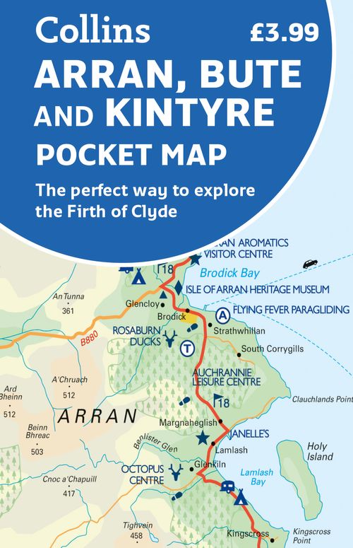
- Discover the Isle of Bute
- The Isle of Bute on a contoured and GPS compatible map at 1:30,000 from Footprint Walks, with a street plan of Rothesay, plus on the reverse extensive tourist information including description of sights, useful contact details, etc. Produced in cooperation with the Discover Bute Landscape Partnership Scheme, the map highlights additional hiking... Read more

Stanfords
United Kingdom
2015
United Kingdom
2015
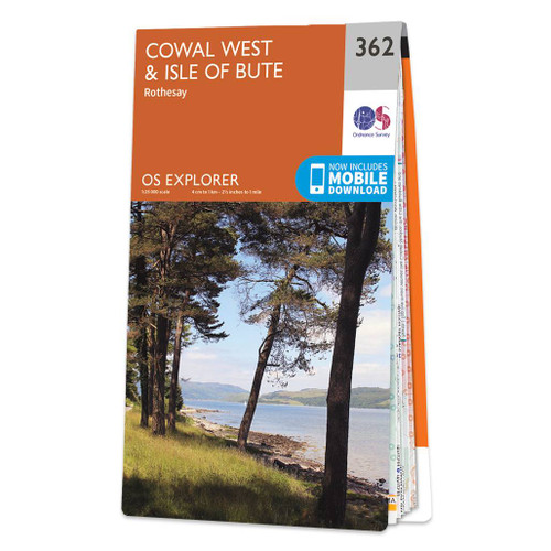
- Cowal West & Isle of Bute - Rothesay OS Explorer Map 362 (paper)
- West Cowal and the Isle of Bute on a detailed topographic and GPS compatible map No. 362, paper version, from the Ordnance Survey’s 1:25,000 Explorer series. MOBILE DOWNLOADS: this title and all the other OS Explorer maps include a code for downloading after purchase the digital version onto your smartphone or tablet for viewing on the OS... Read more
- Also available from:
- The Book Depository, United Kingdom
- De Zwerver, Netherlands
» Click to close

Stanfords
United Kingdom
United Kingdom
- Cowal West & Isle of Bute - Rothesay OS Explorer Active Map 362 (waterproof)
- West Cowal and the Isle of Bute on a detailed topographic and GPS compatible map No. 362, waterproof version, from the Ordnance Survey’s 1:25,000 Explorer series. MOBILE DOWNLOADS: this title and all the other OS Explorer maps include a code for downloading after purchase the digital version onto your smartphone or tablet for viewing on the OS... Read more
- Also available from:
- The Book Depository, United Kingdom

Bol.com
Netherlands
2016
Netherlands
2016
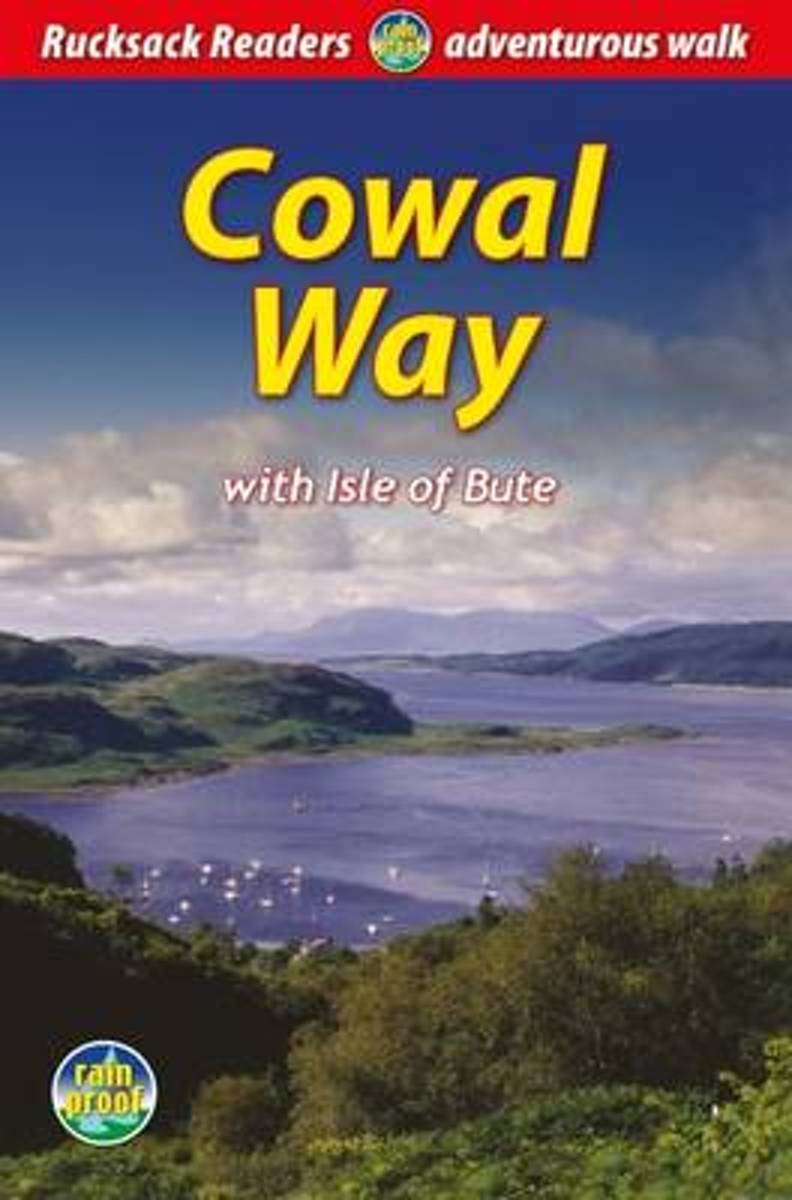
- Cowal Way
- The Cowal Way is a waymarked trail running for 57 miles (92 km) across the rugged Cowal peninsula, an unspoiled area of the Highlands just west of Glasgow. It is best walked from Portavadie on Loch Fyne to finish at Inveruglas on Loch Lomond. The Way has some rugged scenery, the walk is easily broken into manageable sections, and it offers... Read more
- Also available from:
- Bol.com, Belgium

Bol.com
Belgium
2016
Belgium
2016
- Cowal Way
- The Cowal Way is a waymarked trail running for 57 miles (92 km) across the rugged Cowal peninsula, an unspoiled area of the Highlands just west of Glasgow. It is best walked from Portavadie on Loch Fyne to finish at Inveruglas on Loch Lomond. The Way has some rugged scenery, the walk is easily broken into manageable sections, and it offers... Read more

Bol.com
Netherlands
Netherlands
- Argyll And The Isles
- With its complex of island, sea and mountain, Argyll is one of the most beguiling parts of Scotland. Here is an inspiring landscape, the cradle of the Scottish Nation itself. This guide to the best of island and mainland, with an evocative mix of text and photographs, captures the very essence of Argyll. Read more
- Also available from:
- Bol.com, Belgium

Bol.com
Belgium
Belgium
- Argyll And The Isles
- With its complex of island, sea and mountain, Argyll is one of the most beguiling parts of Scotland. Here is an inspiring landscape, the cradle of the Scottish Nation itself. This guide to the best of island and mainland, with an evocative mix of text and photographs, captures the very essence of Argyll. Read more
Maps
More maps…


