Campsie Fells
Description
Hill range in the south of Scotland, north of Glasgow. Highest point is Earl's Seat, 578 m high.
Trails in this region
Links
Facts
Reports
Guides and maps
Lodging
Organisations
Tour operators
GPS
Other
Books

Stanfords
United Kingdom
United Kingdom
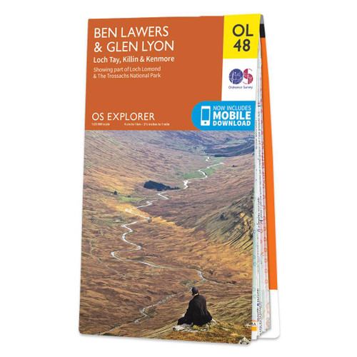
- Ben Lawers & Glen Lyon - Loch Tay, Killin & Kenmore OS Explorer Active Map OL48 (waterproof)
- Ben Lawyers and Glen Lyon area of the Scottish Highlands on a detailed topographic and GPS compatible map OL48, waterproof version, from the Ordnance Survey’s 1:25,000 Explorer series. Coverage includes part of the Loch Rannoch and Glen Lyon National Scenic Area, 22 Munro peaks including An Stuc, Carn Gorm, Meall Glas and Sgiath Chuil, Loch Tay... Read more

Stanfords
United Kingdom
2015
United Kingdom
2015
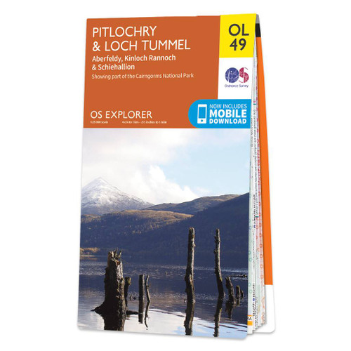
- Pitlochry & Loch Tummel - Aberfeldy, Kinloch Rannoch & Schiehallion OS Explorer Map OL49 (paper)
- Pitlochry and Loch Tummel area of the Scottish Highlands on a detailed topographic and GPS compatible map OL49, paperf version, from the Ordnance Survey’s 1:25,000 Explorer series. Coverage includes sections of the Loch Rannoch and Glen Lyon National Scenic Area and of the Tay Forest Park, the Loch Tummel NSA, Aberfeldy, Kinloch Rannoch, 5... Read more
- Also available from:
- The Book Depository, United Kingdom
- De Zwerver, Netherlands

Stanfords
United Kingdom
United Kingdom
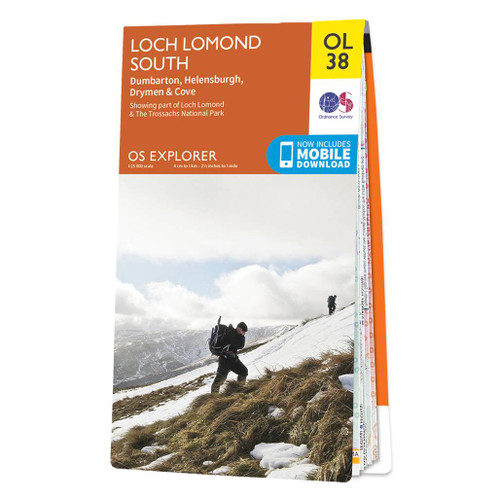
- Loch Lomond South - Dumbarton, Helensburgh, Drymen & Cove OS Explorer Active Map OL38 (waterproof)
- The southern part of Loch Lomond on a detailed topographic and GPS compatible map OL38, waterproof version, from the Ordnance Survey’s 1:25,000 Explorer series. Coverage includes a section of the Loch Lomond and The Trossachs National Park with parts of the Queen Elizabeth Forest Park and the Argyll Forest Park, Dumbarton, Helensburgh, Cove,... Read more
- Also available from:
- The Book Depository, United Kingdom
» Click to close

The Book Depository
United Kingdom
2021
United Kingdom
2021
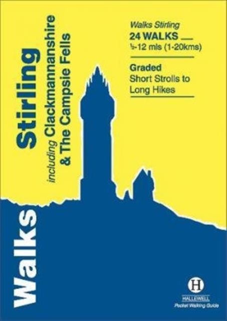
- Walks Stirling
- Including Clackmannanshire & the Campsie Fells Read more
- Also available from:
- De Zwerver, Netherlands
De Zwerver
Netherlands
2021
Netherlands
2021
- Wandelgids Stirling : Including Clackmannanshire & the Campsie Fells | Hallewell Publications
- Including Clackmannanshire & the Campsie Fells Read more

Stanfords
United Kingdom
United Kingdom
- Pitlochry & Loch Tummel - Aberfeldy, Kinloch Rannoch & Schiehallion OS Explorer Active Map OL49 (waterproof)
- Pitlochry and Loch Tummel area of the Scottish Highlands on a detailed topographic and GPS compatible map OL49, waterproof version, from the Ordnance Survey’s 1:25,000 Explorer series. Coverage includes sections of the Loch Rannoch and Glen Lyon National Scenic Area and of the Tay Forest Park, the Loch Tummel NSA, Aberfeldy, Kinloch Rannoch, 5... Read more
- Also available from:
- The Book Depository, United Kingdom
» Click to close

Stanfords
United Kingdom
United Kingdom
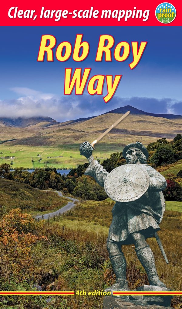
- Rob Roy Way
- The Rob Roy Way, a 126 km/79 mile trail from Drymen near Loch Lomond to Pitlochry, at 1:40,000 on a light, waterproof and tear-resistant map from Footprint Walks in their series covering long-distance hiking routes. The trail is presented on 11 overlapping panels, each designed to cover one daily stage, with mapping providing user-friendly yet... Read more
- Also available from:
- The Book Depository, United Kingdom

The Book Depository
United Kingdom
United Kingdom
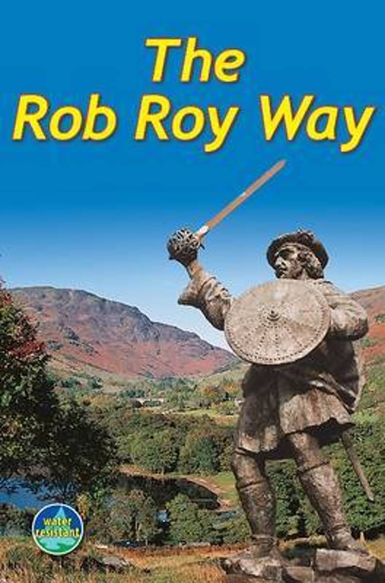
- The Rob Roy Way
- The Rob Roy Way, a 126 km/79 mile trail from Drymen near Loch Lomond to Pitlochry, at 1:40,000 on a light, waterproof and tear-resistant map from Footprint Walks in their series covering long-distance hiking routes. The trail is presented on 11 overlapping panels, each designed to cover one daily stage, with mapping providing user-friendly yet... Read more

Stanfords
United Kingdom
2015
United Kingdom
2015
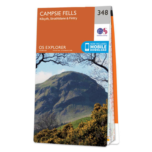
- Campsie Fells - Kilsyth, Strathblane & Fintry OS Explorer Map 348 (paper)
- Campsie Fells, Kilsyth, Strathblane and Fintry area on a detailed topographic and GPS compatible map No. 348, paper version, from the Ordnance Survey’s 1:25,000 Explorer series.MOBILE DOWNLOADS: this title and all the other OS Explorer maps include a code for downloading after purchase the digital version onto your smartphone or tablet for... Read more
- Also available from:
- The Book Depository, United Kingdom
- De Zwerver, Netherlands
» Click to close

Stanfords
United Kingdom
United Kingdom
- Campsie Fells - Kilsyth, Strathblane & Fintry OS Explorer Active Map 348 (waterproof)
- Campsie Fells, Kilsyth, Strathblane and Fintry area on a detailed topographic and GPS compatible map No. 348, waterproof version, from the Ordnance Survey’s 1:25,000 Explorer series.MOBILE DOWNLOADS: this title and all the other OS Explorer maps include a code for downloading after purchase the digital version onto your smartphone or tablet for... Read more
- Also available from:
- The Book Depository, United Kingdom

Stanfords
United Kingdom
2021
United Kingdom
2021
- Loch Lomond South - Dumbarton, Helensburgh, Drymen & Cove OS Explorer Map OL38 (paper)
- The southern part of Loch Lomond on a detailed topographic and GPS compatible map OL38, paper version, from the Ordnance Survey’s 1:25,000 Explorer series. Coverage includes a section of the Loch Lomond and The Trossachs National Park with parts of the Queen Elizabeth Forest Park and the Argyll Forest Park, Dumbarton, Helensburgh, Cove, Drymen,... Read more
- Also available from:
- The Book Depository, United Kingdom
- De Zwerver, Netherlands

Stanfords
United Kingdom
2022
United Kingdom
2022
- Rob Roy Way Rucksack Reader
- The Rob Roy Way is one of Scotland`s Great Trails and is very popular with both walkers and cyclists. It runs through many places linked with Scotland`s most famous outlaw, Rob Roy MacGregor (1671-1734). The route starts at Drymen (near Glasgow) and ends at Pitlochry in the eastern Highlands, so it takes you away from the crowds following the... Read more
- Also available from:
- The Book Depository, United Kingdom
- De Zwerver, Netherlands

The Book Depository
United Kingdom
2022
United Kingdom
2022
- Rob Roy Way
- Walk or cycle from Drymen to Pitlochry (4 ed) Read more

Stanfords
United Kingdom
2015
United Kingdom
2015
- Ben Lawyers & Glen Lyon - Loch Tay, Killin & Kenmore OS Explorer Map OL48 (paper)
- Ben Lawyers and Glen Lyon area of the Scottish Highlands on a detailed topographic and GPS compatible map OL48, paper version, from the Ordnance Survey’s 1:25,000 Explorer series. Coverage includes part of the Loch Rannoch and Glen Lyon National Scenic Area, 22 Munro peaks including An Stuc, Carn Gorm, Meall Glas and Sgiath Chuil, Loch Tay with... Read more
- Also available from:
- The Book Depository, United Kingdom
- De Zwerver, Netherlands
» Click to close
Bol.com
Netherlands
2012
Netherlands
2012
- Rob Roy Way
- This long-distance walk from Drymen to Pitlochry was co-developed by Rucksack Readers in 2001 and is now widely recognised as a great trail. It runs for 77 miles (124 km) along some of Scotland's finest lochs and glens, using historic footpaths, a cycleway, disused railway trackbed, forest and moorland tracks and some minor road. Many places... Read more
- Also available from:
- Bol.com, Belgium

Bol.com
Belgium
2012
Belgium
2012
- Rob Roy Way
- This long-distance walk from Drymen to Pitlochry was co-developed by Rucksack Readers in 2001 and is now widely recognised as a great trail. It runs for 77 miles (124 km) along some of Scotland's finest lochs and glens, using historic footpaths, a cycleway, disused railway trackbed, forest and moorland tracks and some minor road. Many places... Read more

The Book Depository
United Kingdom
2010
United Kingdom
2010
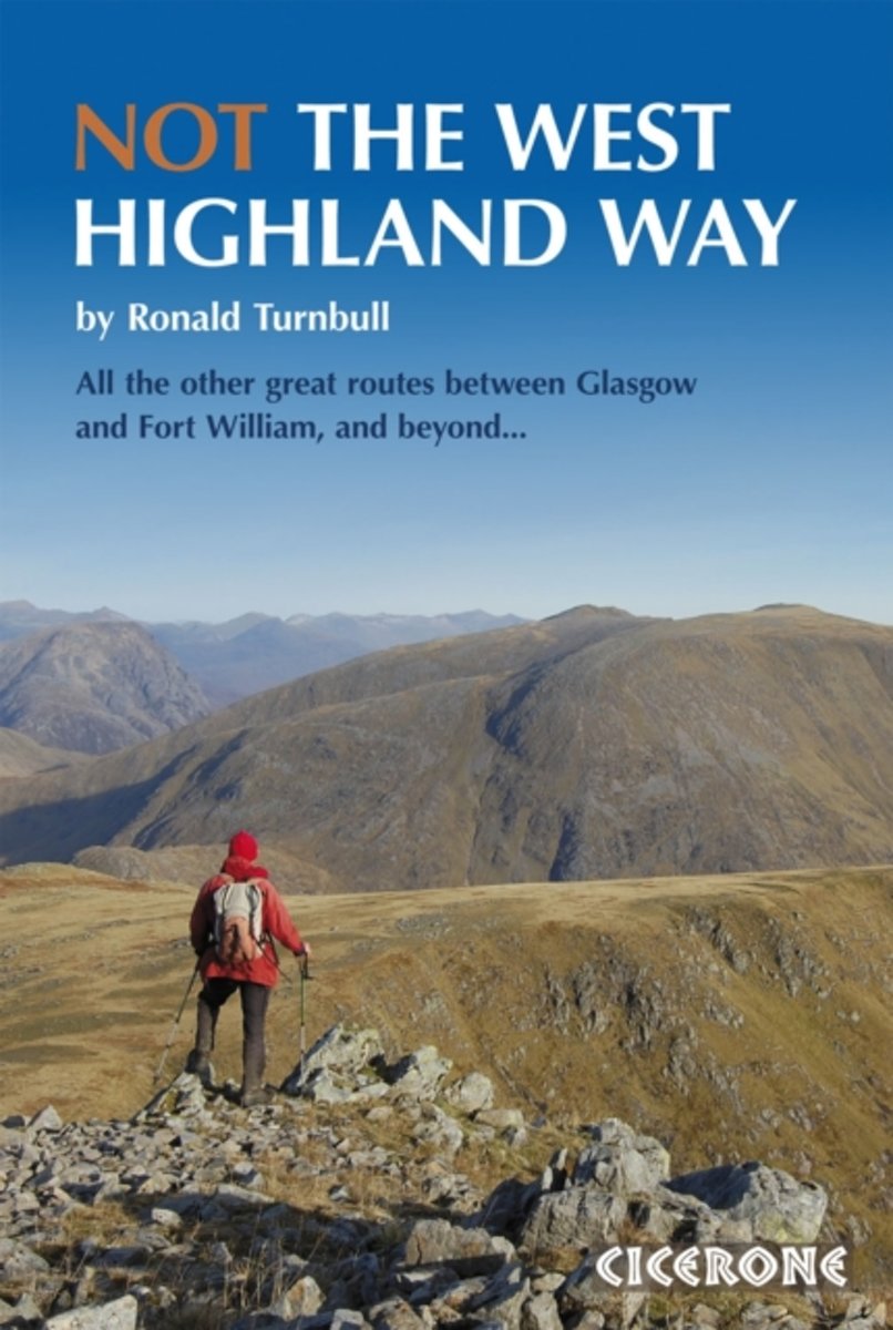
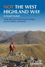
- Not the West Highland Way
- Diversions over mountains, smaller hills or high passes for 8 of the WH Way's 9 stages Read more
- Also available from:
- Bol.com, Netherlands
- Bol.com, Belgium
- De Zwerver, Netherlands
Bol.com
Netherlands
2010
Netherlands
2010
- Not the West Highland Way
- The West Highland Way is one of the finest of Britain's long-distance paths. It passes through six separate mountain ranges, from the tall elegant cone of Ben Lomond and the crag towers of grim Glen Coe to the seductive Mamores. But it doesn't go onto those enticing Stobs and Bens. NOT The West Highland Way makes the most of the surrounding... Read more

Bol.com
Belgium
2010
Belgium
2010
- Not the West Highland Way
- The West Highland Way is one of the finest of Britain's long-distance paths. It passes through six separate mountain ranges, from the tall elegant cone of Ben Lomond and the crag towers of grim Glen Coe to the seductive Mamores. But it doesn't go onto those enticing Stobs and Bens. NOT The West Highland Way makes the most of the surrounding... Read more
De Zwerver
Netherlands
2017
Netherlands
2017
- Wandelgids NOT the west Highland Way | Cicerone
- The West Highland Way is one of the UK's finest long distance walks, but the path runs close to a busy main road and avoids the mountain tops. NOT The West Highland Way describes alternative routes over mountains, smaller hills or high passes to all but one of the Way's nine stages. With add-on day trips over Ben Lomond or Beinn Dorain. Read more
Bol.com
Netherlands
Netherlands
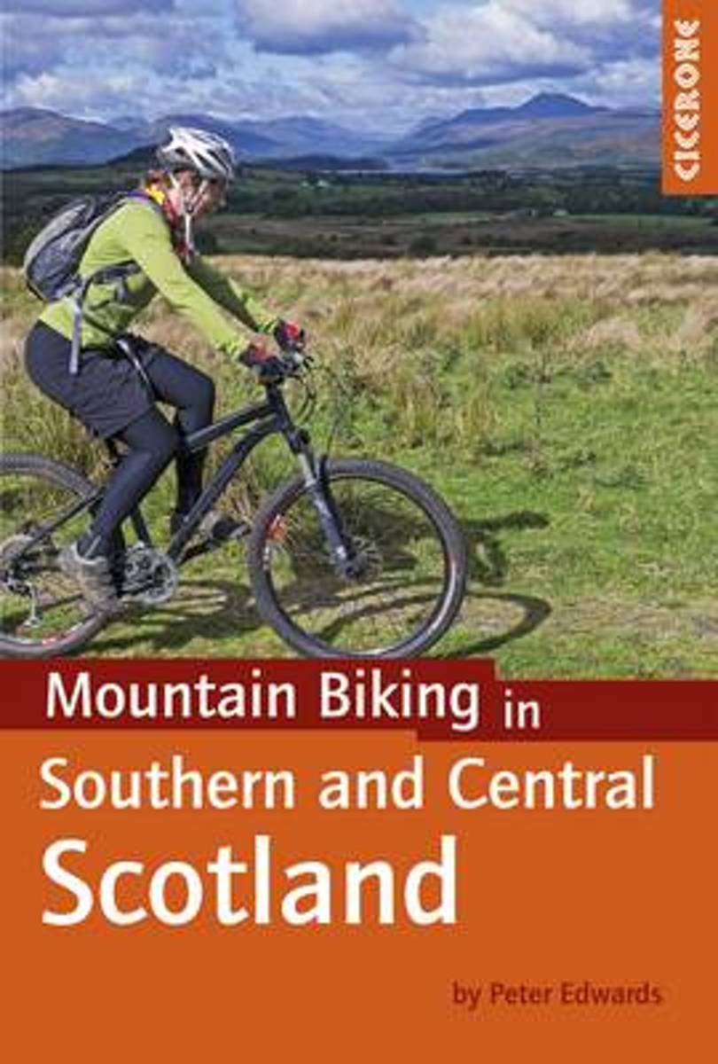
- Mountain Biking in Southern and Central Scotland
- This guidebook describes 21 mountain biking routes in central and southern Scotland. It includes the 7stanes trail centre in Dumfries and Galloway, as well as cross-country routes in the Campsie Fells, Pentland Hills and Lammermuirs, the Galloway Forest, Tweed Valley, Cheviots and Lowther Hills. The routes range from 17 to 66km and are graded... Read more
- Also available from:
- Bol.com, Belgium

Bol.com
Belgium
Belgium
- Mountain Biking in Southern and Central Scotland
- This guidebook describes 21 mountain biking routes in central and southern Scotland. It includes the 7stanes trail centre in Dumfries and Galloway, as well as cross-country routes in the Campsie Fells, Pentland Hills and Lammermuirs, the Galloway Forest, Tweed Valley, Cheviots and Lowther Hills. The routes range from 17 to 66km and are graded... Read more
Bol.com
Netherlands
Netherlands
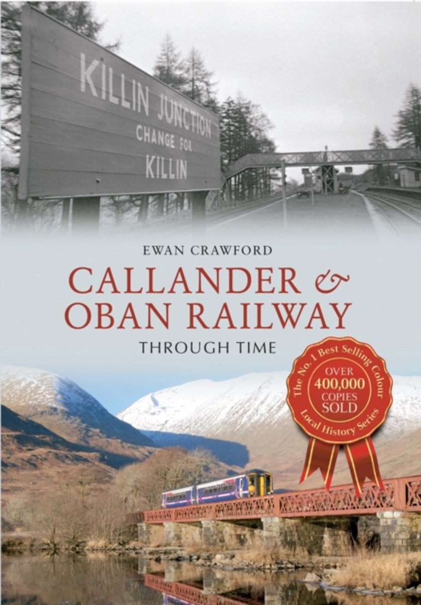
- Callander & Oban Railway Through Time
- Construction on the Callander & Oban Railway began in 1866, but because of the mountain terrain through which the line passed, especially at Glen Ogle and at the Pass of Brander at Loch Awe, the line did not open until 1880. Designed to link Callander, near Stirling, soon to be absorbed into the Scottish Central Railway and then the Caledonian,... Read more
- Also available from:
- Bol.com, Belgium

Bol.com
Belgium
Belgium
- Callander & Oban Railway Through Time
- Construction on the Callander & Oban Railway began in 1866, but because of the mountain terrain through which the line passed, especially at Glen Ogle and at the Pass of Brander at Loch Awe, the line did not open until 1880. Designed to link Callander, near Stirling, soon to be absorbed into the Scottish Central Railway and then the Caledonian,... Read more
Maps

Stanfords
United Kingdom
United Kingdom
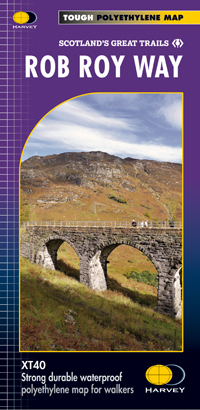
- Rob Roy Way Harvey National Trail XT40
- Rob Roy Way, one of Scotland’s Great Trails from Drymen just north of Glasgow along Loch Tay to Pitlochry on the edge of the Cairngorms National Park presented at 1:40,000 on a light, waterproof and tear-resistant map from Harvey Map Services. The whole route, either 124km/77 miles or 151km/94 miles long depending on which variant one follows,... Read more
- Also available from:
- The Book Depository, United Kingdom
- De Zwerver, Netherlands

The Book Depository
United Kingdom
United Kingdom
- Rob Roy Way
- Mooie, duidelijke kaart van de Rob Roy Way in Schotland. Geplastificeerd met veel extra informatie en uitsnedes van de route. One of Scotland's Great Trails Rob Roy Way is a walk across part of the Southern Highlands of Scotland taking in some of the most beautiful countryside in the UK. Starting from Drymen it goes north east to finish in... Read more
De Zwerver
Netherlands
Netherlands
- Wandelkaart Rob Roy Way | Harvey Maps
- Mooie, duidelijke kaart van de Rob Roy Way in Schotland. Geplastificeerd met veel extra informatie en uitsnedes van de route. One of Scotland's Great Trails Rob Roy Way is a walk across part of the Southern Highlands of Scotland taking in some of the most beautiful countryside in the UK. Starting from Drymen it goes north east to finish in... Read more

Stanfords
United Kingdom
United Kingdom
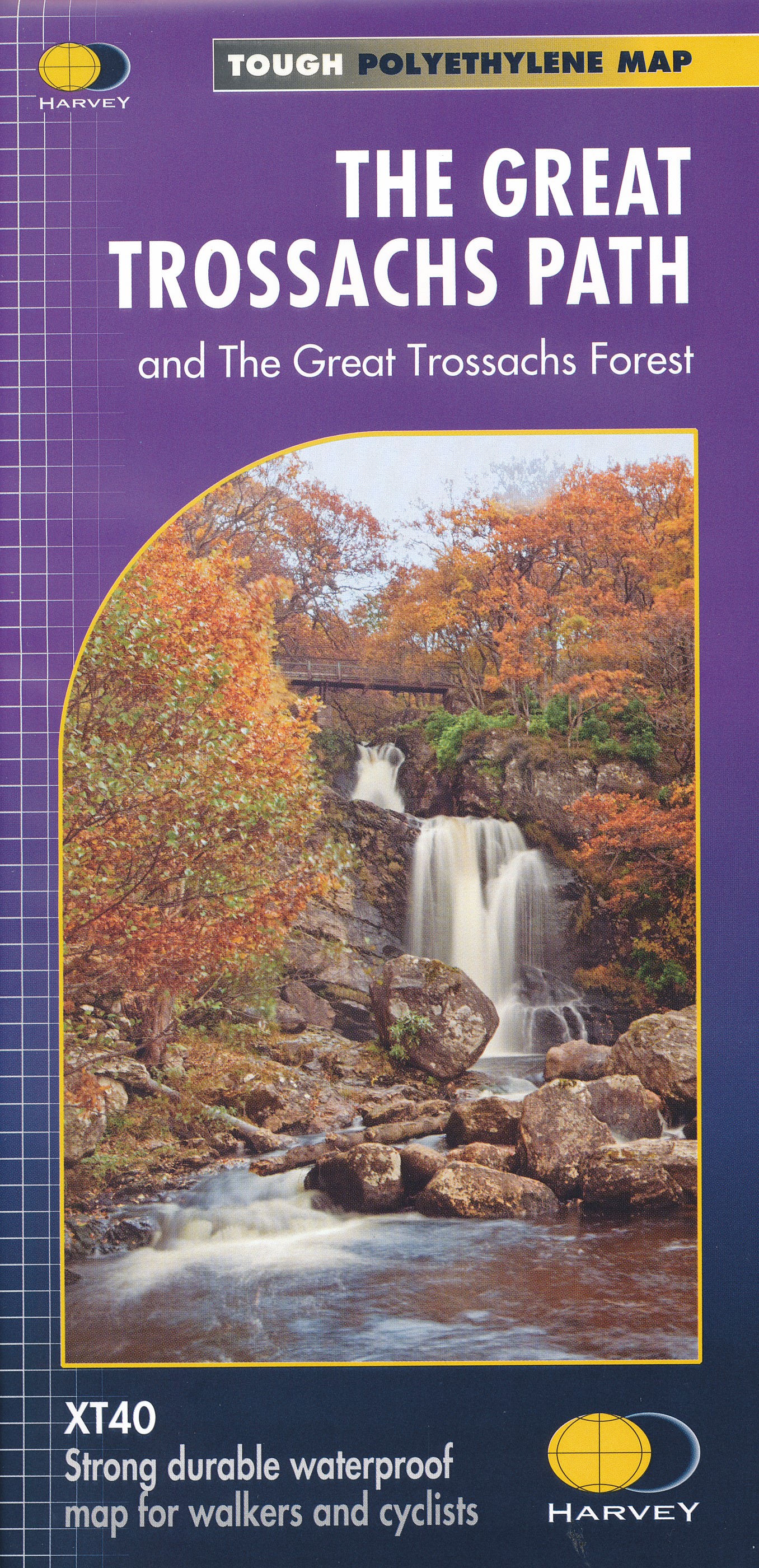
- The Great Trossachs Path Harvey National Trail XT40
- The Great Trossachs Path, a 48km / 30 mile long spur off the West Highlight Way linking Inversnaid on Lomond with Callander presented at 1:40,000 on a GPS compatible, light, waterproof and tear-resistant map from Harvey Map Services. The route which runs along the shores of Loch Arklet, Loch Katrine, Loch Achray and Loch Venachar and links in... Read more
- Also available from:
- The Book Depository, United Kingdom
- De Zwerver, Netherlands
De Zwerver
Netherlands
Netherlands
- Wandelkaart The Great Trossachs Path | Harvey Maps
- The Great Trossachs Path, a 48km / 30 mile long spur off the West Highlight Way linking Inversnaid on Lomond with Callander presented at 1:40,000 on a GPS compatible, light, waterproof and tear-resistant map from Harvey Map Services. The route which runs along the shores of Loch Arklet, Loch Katrine, Loch Achray and Loch Venachar and links in... Read more


