Ceredigion
Description
Region and county in the Mid West of Wales. Much of the county is covered by high hills, including Pumlumon, 752 m, source of the rivers Severn and Wye. Good for walking for the adventurous. Wide and empty.
Trails in this region
Links
Facts
Reports
Guides and maps
Lodging
Organisations
Tour operators
GPS
Other
Books

Stanfords
United Kingdom
United Kingdom
- Wye Valley & Forest of Dean OS Explorer Active Map OL14 (waterproof)
- The Wye Valley and the Forest of Dean on a detailed topographic and GPS compatible map OL14, waterproof version, from the Ordnance Survey’s 1:25,000 Explorer series. Coverage extends from Chepstow in the south to beyond Ross-on-Wye and includes Monmouth, the Wye Valley Area of Outstanding Natural Beauty, sections of the Offa’s Dyke National... Read more

The Book Depository
United Kingdom
2019
United Kingdom
2019
- The Severn Way
- 210 miles from the River Severn's source in Powys to Severn Beach near Bristol Read more

The Book Depository
United Kingdom
2014
United Kingdom
2014
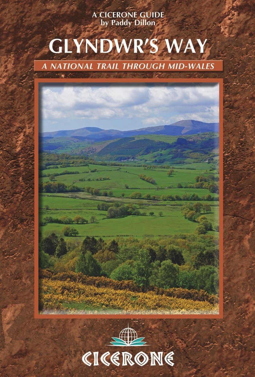
- Glyndwr's Way
- Guidebook to Glyndwr's Way, a mid-Wales long-distance National Trail of 135 miles taking 9 days to walk, and 2 days (and 29 miles) to complete the loop down the Offa's Dyke Path to create a circular trail. It loops west from Knighton via Machynlleth to Welshpool and covers quiet hills, forests and rolling countryside. Read more
- Also available from:
- Bol.com, Netherlands
- Bol.com, Belgium
Bol.com
Netherlands
2014
Netherlands
2014
- Glyndwr's Way
- A complete guide to walking Glyndwr's Way National Trail. This guidebook divides the 135 mile trail into nine day stages, starting at Knighton and ending at Welshpool. After day 4 there is an optional ascent of Pumlimon Fawr, which will require an extra day. Days 10 and 11 follow the Offa's Dyke Path National Trail for those who prefer a... Read more

Bol.com
Belgium
2014
Belgium
2014
- Glyndwr's Way
- A complete guide to walking Glyndwr's Way National Trail. This guidebook divides the 135 mile trail into nine day stages, starting at Knighton and ending at Welshpool. After day 4 there is an optional ascent of Pumlimon Fawr, which will require an extra day. Days 10 and 11 follow the Offa's Dyke Path National Trail for those who prefer a... Read more

Stanfords
United Kingdom
2014
United Kingdom
2014
- The Ceredigion and Snowdonia Coast Paths - Cardigan Bay on the Wales Coast Path
- Step-by-step guide to backpacking along the Ceredigion and Snowdonia Coast Paths, down the coast of mid-Wales between Porthmadog and the Llyn Peninsula and St Dogmaels and the Pembrokeshire Coast Path, 233km (147 miles) of varied long-distance walking to fill an extended fortnight`s holiday or a series of long weekends and day walks. The route... Read more
- Also available from:
- The Book Depository, United Kingdom
- Bol.com, Netherlands
- Bol.com, Belgium
- De Zwerver, Netherlands

The Book Depository
United Kingdom
2014
United Kingdom
2014
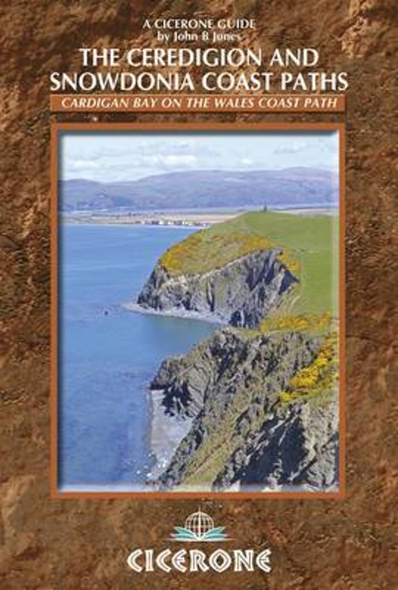
- The Ceredigion and Snowdonia Coast Paths
- The Wales Coast Path from Porthmadog to St Dogmaels Read more
Bol.com
Netherlands
2014
Netherlands
2014
- The Ceredigion and Snowdonia Coast Paths
- As part of the Wales Coast Path, the Ceredigion Coast Path and Snowdonia Coast Path trace a curve of 233km (145 miles) of coastal and inland walking down Cardigan Bay. This guidebook describes a 16-stage guide to the walk from Porthmadog to St Dogmaels covering the trail between the Llyn Peninsula and the Pembrokeshire Coast Path. The route is... Read more

Bol.com
Belgium
2014
Belgium
2014
- The Ceredigion and Snowdonia Coast Paths
- As part of the Wales Coast Path, the Ceredigion Coast Path and Snowdonia Coast Path trace a curve of 233km (145 miles) of coastal and inland walking down Cardigan Bay. This guidebook describes a 16-stage guide to the walk from Porthmadog to St Dogmaels covering the trail between the Llyn Peninsula and the Pembrokeshire Coast Path. The route is... Read more
De Zwerver
Netherlands
2014
Netherlands
2014
- Wandelgids Wales: The Ceredigion and Snowdonia Coast Paths | Cicerone
- As part of the Wales Coast Path, the Ceredigion Coast Path and Snowdonia Coast Path trace a curve of 233km (145 miles) of coastal and inland walking down Cardigan Bay. This guidebook describes a 16-stage guide to the walk from Porthmadog to St Dogmaels covering the trail between the Lleyn Peninsula and the Pembrokeshire Coast Path. Read more
- Also available from:
- Bol.com, Netherlands
- Bol.com, Belgium
Bol.com
Netherlands
2015
Netherlands
2015
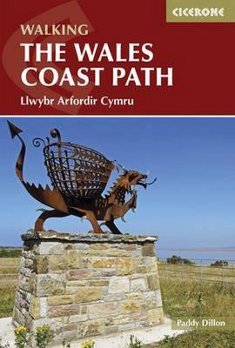
- The Wales Coast Path
- The Welsh Coast Path, at 870 miles is the longest trail in Britain, tracing the coastline from Chester to Chepstow. This guidebook divides the entire coastal path into 9 geographical areas and 57 stages, ranging between 10 to 20 miles in length. However there is no need to stick rigidly to this schedule, as there are usually places where each... Read more

Bol.com
Belgium
2015
Belgium
2015
- The Wales Coast Path
- The Welsh Coast Path, at 870 miles is the longest trail in Britain, tracing the coastline from Chester to Chepstow. This guidebook divides the entire coastal path into 9 geographical areas and 57 stages, ranging between 10 to 20 miles in length. However there is no need to stick rigidly to this schedule, as there are usually places where each... Read more

Bol.com
Netherlands
Netherlands
- Snowdonia & Ceredigion Coast
- Written and designed by outdoor experts, these authoratative guidebokks give long distance and local walkers everything they need to enjoy the Wales Coast Path with confidence. With clearly, expertly-written and numbered directions, enhanced Ordnance Survey mapping for the whole route, stunning professional photographs, and fascinating... Read more
- Also available from:
- Bol.com, Belgium

Bol.com
Belgium
Belgium
- Snowdonia & Ceredigion Coast
- Written and designed by outdoor experts, these authoratative guidebokks give long distance and local walkers everything they need to enjoy the Wales Coast Path with confidence. With clearly, expertly-written and numbered directions, enhanced Ordnance Survey mapping for the whole route, stunning professional photographs, and fascinating... Read more

Stanfords
United Kingdom
United Kingdom
- The Ceredigion Coast: Circular Walks Along the Wales Coast Path
- One of a series of books in the new Top 10 Walks: Wales Coast Path series. Handy, pocket-sized, full colour walking guides written by experts. Each volume outlines the most popular circular walks along key sections of the coast path. Other titles in the series include: Llyn Peninsula, Cardigan Bay North and Carmarthen Bay & Gower. These... Read more
- Also available from:
- The Book Depository, United Kingdom
- Bol.com, Netherlands
- Bol.com, Belgium

The Book Depository
United Kingdom
United Kingdom
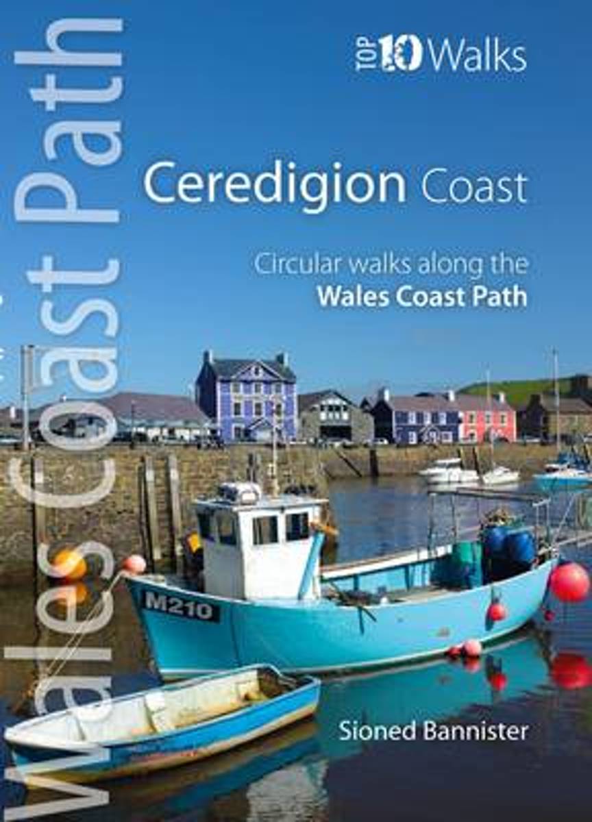
- The Ceredigion Coast
- Circular Walks Along the Wales Coast Path Read more
Bol.com
Netherlands
Netherlands
- The Ceredigion Coast
- One of a series of books in the new Top 10 Walks: Wales Coast Path series. Handy, pocket-sized, full colour walking guides written by experts. Each volume outlines the most popular circular walks along key sections of the coast path. Other titles in the series include: Llyn Peninsula, Cardigan Bay North and Carmarthen Bay & Gower. These... Read more

Bol.com
Belgium
Belgium
- The Ceredigion Coast
- One of a series of books in the new Top 10 Walks: Wales Coast Path series. Handy, pocket-sized, full colour walking guides written by experts. Each volume outlines the most popular circular walks along key sections of the coast path. Other titles in the series include: Llyn Peninsula, Cardigan Bay North and Carmarthen Bay & Gower. These... Read more
De Zwerver
Netherlands
2022
Netherlands
2022
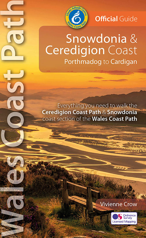
- Wandelgids Wales Coast Path: Snowdonia and Ceredigion | Northern Eye Books
- Porthmadog to Cardigan Read more

The Book Depository
United Kingdom
2014
United Kingdom
2014
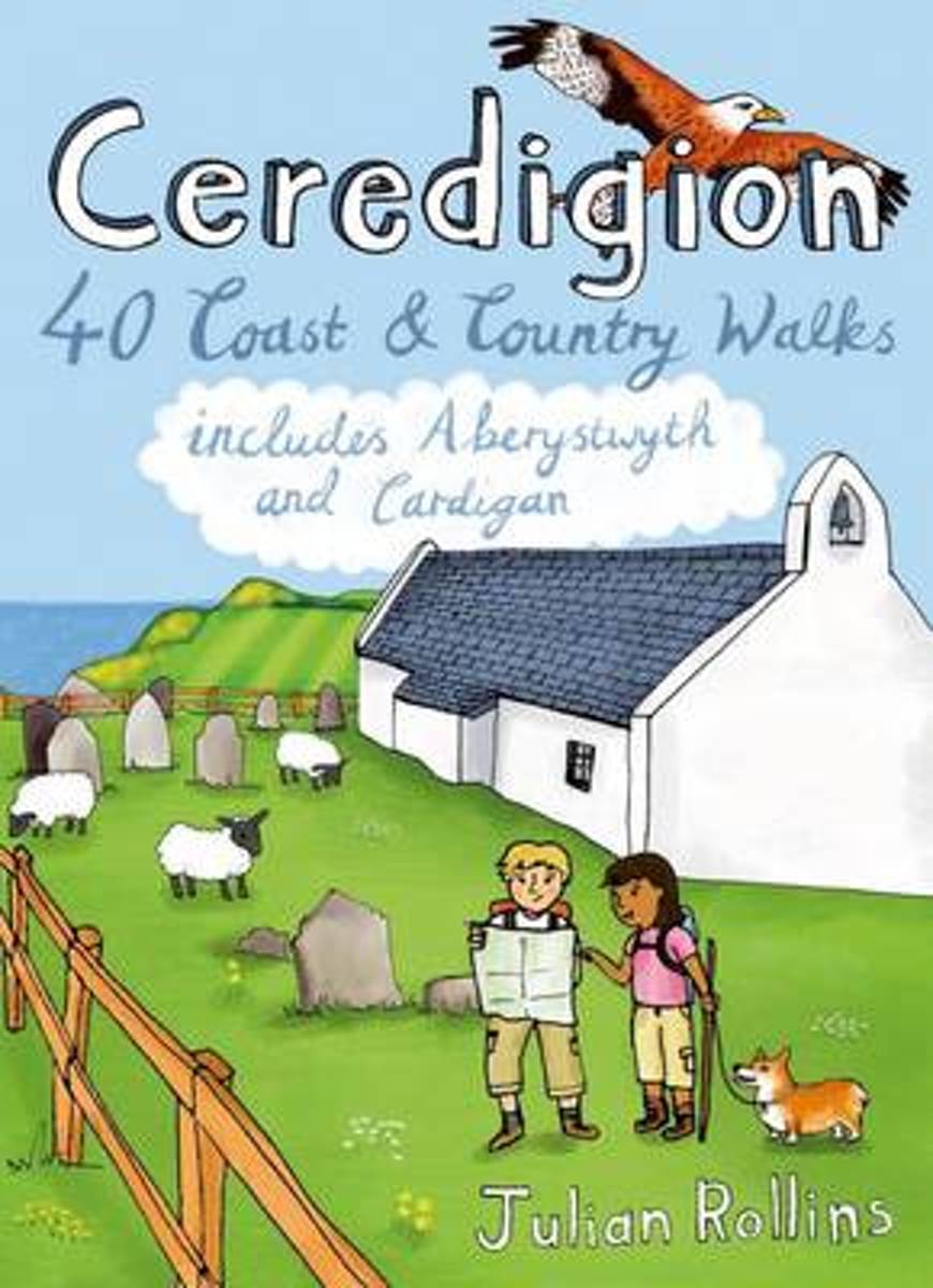
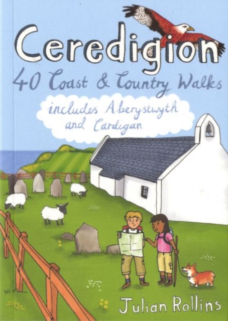
- Ceredigion
- 40 Coast and Country Walks - Including Aberystwyth and Cardigan Read more
- Also available from:
- Bol.com, Netherlands
- Bol.com, Belgium
- De Zwerver, Netherlands
Bol.com
Netherlands
2014
Netherlands
2014
- Ceredigion
- Encompassing the southern half of Cardigan Bay on the wild west coast of Wales, Ceredigion is famed for its glorious sandy beaches, dramatic sea cliffs and caves, spectacular sunsets and a wonderful array of wildlife, including the largest colony of bottlenose dolphins in Europe. Away from the sea, rolling farmland, fertile river valleys and... Read more

Bol.com
Belgium
2014
Belgium
2014
- Ceredigion
- Encompassing the southern half of Cardigan Bay on the wild west coast of Wales, Ceredigion is famed for its glorious sandy beaches, dramatic sea cliffs and caves, spectacular sunsets and a wonderful array of wildlife, including the largest colony of bottlenose dolphins in Europe. Away from the sea, rolling farmland, fertile river valleys and... Read more
De Zwerver
Netherlands
2014
Netherlands
2014
- Wandelgids Ceredigion | Pocket Mountains
- 40 Coast and Country Walks - Including Aberystwyth and Cardigan Read more
More books…
Maps

Stanfords
United Kingdom
2014
United Kingdom
2014
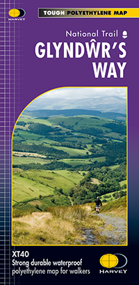
- Glyndwr`s Way Harvey National Trail XT40
- Glyndwr`s Way, a 217km / 135 mile long trail from Knighton in Powys to Welshpool presented at 1:40,000 on a GPS compatible, light, waterproof and tear-resistant map from Harvey Map Services. The whole route is covered on eight overlapping panels. Map legend includes Welsh; most of the additional information is in English only.Maps in the... Read more
- Also available from:
- De Zwerver, Netherlands
De Zwerver
Netherlands
2014
Netherlands
2014
- Wandelkaart Glyndwr's Way | Harvey Maps
- Glyndwr's Way, a 217km / 135 mile long trail from Knighton in Powys to Welshpool presented at 1:40,000 on a GPS compatible, light, waterproof and tear-resistant map from Harvey Map Services. The whole route is covered on eight overlapping panels. Map legend includes Welsh; most of the additional information is in English only.Maps in the Harvey Read more


