Devon
Description
County in southwestern England, next to Cornwall. The North Devon Coastline is very wild and offers dramatic walking. Take the South West Coast Path. The south coast is different but not less interesting. Just continue the South West Coast Path and once you leave Cornwall you enter Devon again. Two other assets for hikers are Dartmoor and Exmoor, vast expansions of wet moorland laying on a hard rockbed.
Trails in this region
Links
Facts
Reports
Guides and maps
Lodging
Organisations
Tour operators
GPS
Other
Books

Stanfords
United Kingdom
United Kingdom
- Bournemouth, Purbeck, Wimborne Minster & Ringwood OS Landranger Active Map 195 (waterproof)
- Bournemouth and the Isle of Purbeck area, including part of the New Forest National Park and a section of the South West Coast Path / E9 European Long-distance Path, on a waterproof and tear-resistant OS Active version of map No. 195 from the Ordnance Survey’s Landranger series at 1:50,000, with contoured and GPS compatible topographic mapping... Read more

Stanfords
United Kingdom
United Kingdom
- South Devon - Brixham to Newton Ferrers OS Explorer Active Map OL20 (waterproof)
- The coast of South Devon on a detailed topographic and GPS compatible map OL20, waterproof version, from the Ordnance Survey’s 1:25,000 Explorer series. The map extends westwards beyond Newton Ferrers to Plymouth, eastwards beyond Brixham to Torquay, and inland to include part of the Dartmoor National Park. Coverage includes Paignton, Totness,... Read more

Stanfords
United Kingdom
United Kingdom
- Barnstaple, Ilfracombe, Lynton & Bideford OS Landranger Active Map 180 (waterproof)
- Barnstaple and Ilfracombe area, including the western part of the Exmoor National Park and a section of the South West Coast Path, on a waterproof and tear-resistant OS Active version of map No. 180 from the Ordnance Survey’s Landranger series at 1:50,000, with contoured and GPS compatible topographic mapping plus tourist information.MOBILE... Read more

Stanfords
United Kingdom
United Kingdom
- Newquay, Bodmin, Camelford & St Austell OS Landranger Active Map 200 (waterproof)
- Newquay and Bodmin area, including a section of the South West Coast Path National Trail, on a waterproof and tear-resistant OS Active version of map No. 200 from the Ordnance Survey’s Landranger series at 1:50,000, with contoured and GPS compatible topographic mapping plus tourist information.MOBILE DOWNLOADS: As well as the physical edition... Read more

Stanfords
United Kingdom
2019
United Kingdom
2019
- Two Moors Way Cicerone Map Booklet
- All the mapping you need to complete the Two Moors Way, Devon`s coast to coast route between Wembury Bay and Lynmouth, including a section of the Erme-Plym Trail. NOTE: An accompanying Cicerone guidebook - The Two Moors Way - describes the route south to north, with summary directions for walking north to south. It includes lots of other... Read more

The Book Depository
United Kingdom
2021
United Kingdom
2021
- Walks Exmoor
- Including Minehead to Ilfracombe: Short Walks from the South West Coast Path Read more
- Also available from:
- De Zwerver, Netherlands

De Zwerver
Netherlands
2021
Netherlands
2021
- Wandelgids Exmoor | Hallewell Publications
- Including Minehead to Ilfracombe: Short Walks from the South West Coast Path Read more

Stanfords
United Kingdom
United Kingdom
- Taunton, Lyme Regis, Chard & Bridport OS Landranger Active Map 193 (waterproof)
- Taunton and Lyme Regis area, including a section of the South West Coast Path / E9 European Long-distance Path, on a waterproof and tear-resistant OS Active version of map No. 193 from the Ordnance Survey’s Landranger series at 1:50,000, with contoured and GPS compatible topographic mapping plus tourist information.MOBILE DOWNLOADS: As well as... Read more
- Also available from:
- The Book Depository, United Kingdom


The Book Depository
United Kingdom
United Kingdom
- Walk! Devon
- Buying Walk Devon qualifies you for a free Tour & Trail Super-Durable Map in Discovery Walking Guides Great Map Giveaway - see Discovery Walking Guides website for details. Adventurous walking tastes are as varied as Devon's many landscapes. There's always something special to explore from spectacular coastlines and wild moors to pretty... Read more

The Book Depository
United Kingdom
2019
United Kingdom
2019
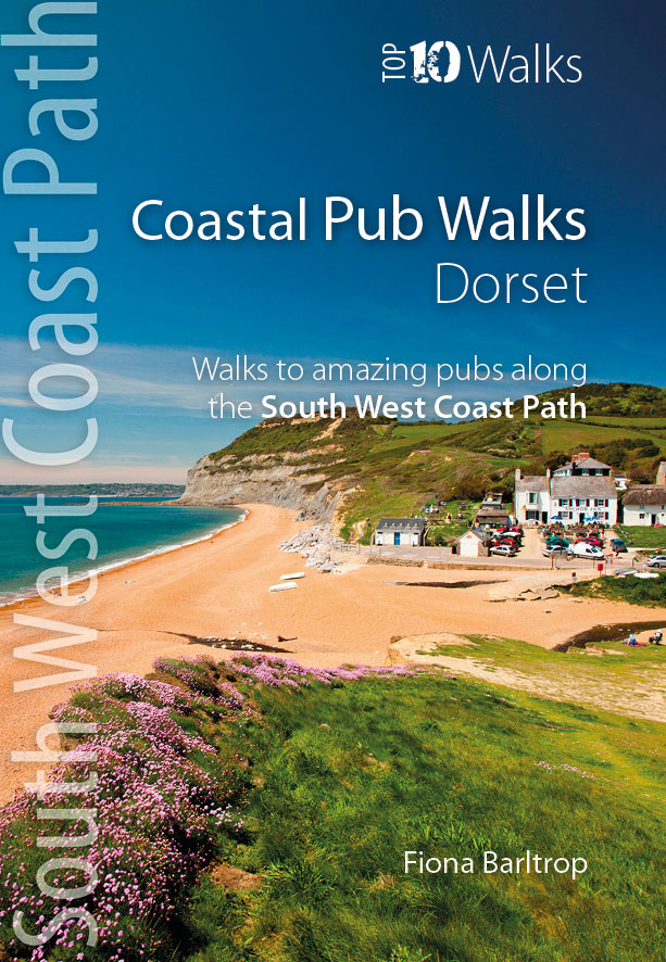
- Coastal Pub Walks: Dorset
- Walks to amazing pubs along the South West Coast Path Read more
- Also available from:
- De Zwerver, Netherlands
De Zwerver
Netherlands
2019
Netherlands
2019
- Wandelgids Coastal Pub Walks: Dorset | Northern Eye Books
- Walks to amazing pubs along the South West Coast Path Read more

Stanfords
United Kingdom
2015
United Kingdom
2015
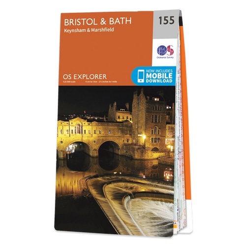
- Bristol & Bath - Keynsham & Marshfield OS Explorer Map 155 (paper)
- Bristol, Bath, Keynsham and Marshfield area on a detailed topographic and GPS compatible map No. 155, paper version, from the Ordnance Survey’s 1:25,000 Explorer series. MOBILE DOWNLOADS: this title and all the other OS Explorer maps include a code for downloading after purchase the digital version onto your smartphone or tablet for viewing on... Read more
- Also available from:
- The Book Depository, United Kingdom
- De Zwerver, Netherlands

De Zwerver
Netherlands
2015
Netherlands
2015


Stanfords
United Kingdom
2015
United Kingdom
2015
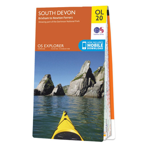
- South Devon - Brixham to Newton Ferrers OS Explorer Map OL20 (paper)
- The coast of South Devon on a detailed topographic and GPS compatible map OL20, paper version, from the Ordnance Survey’s 1:25,000 Explorer series. The map extends westwards beyond Newton Ferrers to Plymouth, eastwards beyond Brixham to Torquay, and inland to include part of the Dartmoor National Park. Coverage includes Paignton, Totness,... Read more
- Also available from:
- The Book Depository, United Kingdom
- De Zwerver, Netherlands

De Zwerver
Netherlands
2015
Netherlands
2015

Stanfords
United Kingdom
2020
United Kingdom
2020
- The Lizard - Falmouth & Helston OS Explorer Map 103 (paper)
- The Lizard with Falmouth and Helston area on a detailed topographic and GPS compatible map No. 103, paper version, from the Ordnance Survey’s 1:25,000 Explorer series. MOBILE DOWNLOADS: this title and all the other OS Explorer maps include a code for downloading after purchase the digital version onto your smartphone or tablet for viewing on... Read more
- Also available from:
- The Book Depository, United Kingdom
- De Zwerver, Netherlands


De Zwerver
Netherlands
2020
Netherlands
2020

Stanfords
United Kingdom
2015
United Kingdom
2015
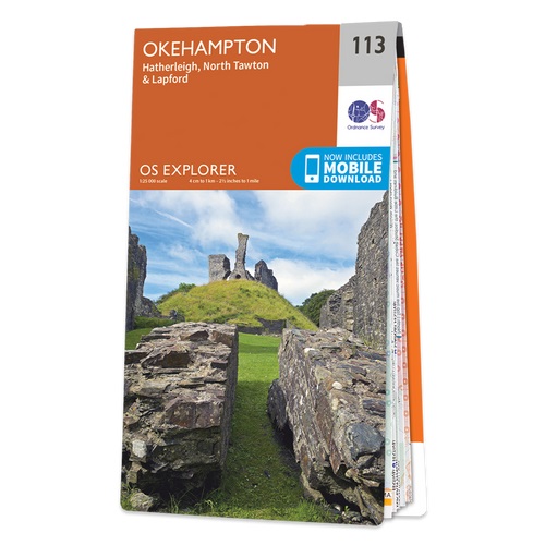
- Okehampton - Hatherleigh, North Tawton & Lapford OS Explorer Map 113 (paper)
- Okehampton, Hatherleigh, North Tawton and Lapford area on a detailed topographic and GPS compatible map No. 113, paper version, from the Ordnance Survey’s 1:25,000 Explorer series.MOBILE DOWNLOADS: this title and all the other OS Explorer maps include a code for downloading after purchase the digital version onto your smartphone or tablet for... Read more
- Also available from:
- The Book Depository, United Kingdom
- De Zwerver, Netherlands

De Zwerver
Netherlands
2015
Netherlands
2015
More books…

Maps

Stanfords
United Kingdom
United Kingdom
- Cornwall East - Bodmin/St Austell to West Devon Cycling Map 81
- The eastern half of Cornwall at 1:100,000 on a handy size, 50x35cm, double-sided contoured map from Croydecycle, printed on waterproof and tear-resistant synthetic paper and showing National Cycle routes and numerous local facilities, including campsites, pubs, etc. Coverage extends from St Austell, Wadebridge and Port Isaac to Plymouth and... Read more
Stanfords
United Kingdom
2015
United Kingdom
2015
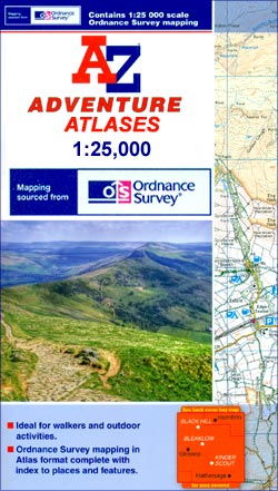
- South West Coast Path 5 - Dorset A-Z Adventure Atlas
- South West Coast Path 5 - Dorset Adventure Atlas at 1:25,000 in a series of handy A5 size Adventure Atlases from Geographers` A-Z Map Company with cartography from the Ordnance Survey’s Explorer series. The guide covers the 138 km / 86 mile section of the SWCP National Trail between Lyme Regis and Poole and includes a route planner indicating... Read more

Stanfords
United Kingdom
United Kingdom
- England Coast Path Adventure Map - Minehead to Brean Down
- The A-Z Adventure Series of maps combines the best of OS and A-Z, creating the perfect companion for walkers, off-road cyclists, horse riders and anyone wishing to explore the great outdoors.This official Minehead to Brean Down Adventure Map covers a 58 mile (93km) section of the England Coast Path, a new National Trail around England`s coast.... Read more

Stanfords
United Kingdom
United Kingdom
- North Devon Cycling Map 82
- The northern half of Devon at 1:100,000 on a handy size, 50x35cm, double-sided contoured map from Croydecycle, printed on waterproof and tear-resistant synthetic paper and showing National Cycle routes and numerous local facilities, including campsites, pubs, etc. Coverage extends along the northern coast from the Somerset border to Clovelly,... Read more

Stanfords
United Kingdom
United Kingdom
- Fort McMurray & Towns of Central and Northern Alberta
- Double-sided map presenting on separate panels indexed street plans of the towns in central and northern Alberta: Fort McMurray, Barrhead, Beaumont, Bonnyville, Cold Lake North & South with Medley, Devon, Edson, Gibbons, Grande Prairie, High Level Hinton, Jasper, Leduc, Morinville, Peace River, Redwater, Slave Lake, St. Paul, Spruce Grove... Read more

Stanfords
United Kingdom
United Kingdom
- South Devon Cycling Map 83
- The southern half of Devon at 1:100,000 on a handy size, 50x35cm, double-sided contoured map from Croydecycle, printed on waterproof and tear-resistant synthetic paper and showing National Cycle routes and numerous local facilities, including campsites, pubs, etc. Coverage extends southwards from Exeter and Okehampton. Contours are at 30m... Read more

Stanfords
United Kingdom
United Kingdom
- Edmonton & Northern Alberta Street Atlas
- Street atlas of Edmonton and northern Alberta, including Beaumont, Bonnyville, Camrose, Cold Lake, Devon, Drayton Valley, Edson, Fort McMurray, Fort Saskatchewan, Grande Prairie, Hinton, Jasper, Lacombe, Leduc, Lloydminster, Morinville, Nisku, Peace River, Ponoka, Red Deer, Rocky Mountain House, St. Albert, St. Paul, Sherwood Park, Slave Lake,... Read more

Stanfords
United Kingdom
United Kingdom
- Exmoor & Taunton Cycling Map 84
- Exmoor and Taunton area of Devon and Somerset at 1:100,000 on a handy size, 50x35cm, double-sided contoured map from Croydecycle, printed on waterproof and tear-resistant synthetic paper and showing National Cycle routes and numerous local facilities, including campsites, pubs, etc. Coverage extends from Combe Martin, Barnstaple and South... Read more

Stanfords
United Kingdom
United Kingdom
- Exmoor A-Z Adventure Atlas
- Exmoor at 1:25,000 in a series of handy A5 size Adventure Atlases from Geographers` A-Z Map Company with cartography from the Ordnance Survey’s Explorer series. Coverage includes the South West Coast path between Minehead and Combe Martin Bay, Two Moors Way, Tarka Train, Dulverton, Brendon Hills, etc.To see other titles in this series please... Read more

Stanfords
United Kingdom
United Kingdom
- 2300 Dorset and Devon Coasts Chart Pack - 2015 edition SUPERCEDED
- The Needles to Start Point including Poole Harbour A pack of 9 charts for the Dorset and Devon Coasts. The pack includes: 2300.1 Isle of Wight to Start Point 1:400,000 2300.2 Western Approaches to the Solent 1:60,000 2300.3 Poole Harbour to Bill of Portland 1:75,000 2300.4 Lyme Bay 1:175,000 2300.5 Poole Harbour 1:20,000 2300.6 River Exe... Read more

Stanfords
United Kingdom
United Kingdom
- Two Moors Way Harvey National Trail XT40
- Two Moors Way, a 150km / 93 mile long-distance trail between Lynmouth on the north coast of Devon and Ivybridge near Plymouth, crossing Exmoor and Dartmoor National Parks, presented at 1:40,000 on a light, waterproof and tear-resistant map from Harvey Map Services. The route is shown on six panels.Maps in the Harvey’s series covering Great... Read more

Stanfords
United Kingdom
United Kingdom
- East Devon - Exeter Cycling Map 85
- East Devon at 1:100,000 on a handy size, 50x35cm, double-sided contoured map from Croydecycle, printed on waterproof and tear-resistant synthetic paper and showing National Cycle routes and numerous local facilities, including campsites, pubs, etc. Coverage extends westwards just beyond Newton Abbot, Bovey Tracy and Crediton, north to Tiverton,... Read more

Stanfords
United Kingdom
United Kingdom
- Tour de Manche Vol. 2: Northern Brittany - Devon/Dorset - Channel Is. Cycle Route (580km)
- Tour de Manche Vol.2: de St-Malo à St-Malo cycling guide covering a 580km long-distance cross-Channel route from St-Malo along the northern coast of Brittany to Roscoff, across the Channel to Plymouth, inland around Dartmoor National Park to Exeter and westwards to Weymouth, and from there back to St-Malo via Guernsey and Jersey.Within France... Read more

Stanfords
United Kingdom
2010
United Kingdom
2010
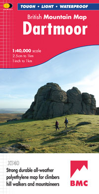
- Dartmoor Harvey British Mountain Map XT40
- Double-sided waterproof mountain map of Dartmoor from Harvey at 1:40,000, with a geological map of the region on the reverse, and advice on navigating the region safely.*MAIN MAP:* Topography is shown through clear altitude shading, spot heights, contours at 15m intervals, and index contours at 75m intervals. A variety of symbols are used to... Read more
- Also available from:
- The Book Depository, United Kingdom
- De Zwerver, Netherlands

The Book Depository
United Kingdom
2010
United Kingdom
2010
- Dartmoor
- Double-sided waterproof mountain map of Dartmoor from Harvey at 1:40,000, with a geological map of the region on the reverse, and advice on navigating the region safely.MAIN MAP: Topography is shown through clear altitude shading, spot heights, contours at 15m intervals, and index contours at 75m intervals. A variety of symbols are used to show... Read more
De Zwerver
Netherlands
2010
Netherlands
2010
- Wandelkaart Dartmoor | Harvey Maps
- Double-sided waterproof mountain map of Dartmoor from Harvey at 1:40,000, with a geological map of the region on the reverse, and advice on navigating the region safely.MAIN MAP: Topography is shown through clear altitude shading, spot heights, contours at 15m intervals, and index contours at 75m intervals. A variety of symbols are used to show... Read more
More maps…