
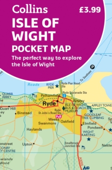
Isle of Wight
Description
The popular tourist destination Isle of Wight is located in the English Channel, not far from the English coast. It's catering for walkers: a coastal circular walk as well as trails through the interior.
Trails in this region
Links
Facts
Reports
Guides and maps
Lodging
Organisations
Tour operators
GPS
Other
Books

Stanfords
United Kingdom
United Kingdom
- New Forest - Southampton, Ringwood, Ferndown, Lymington, Christchurch & Bournemouth OS Explorer Active Map OL22 (waterproof)
- The New Forest on a detailed topographic and GPS compatible map OL22, waterproof version, from the Ordnance Survey’s 1:25,000 Explorer series. Coverage along the coast extends from Southampton with Southampton Water to Bournemouth, and includes Eastleigh, Totton, Lymington with the ferry link to the Isle of Wight, Christchurch, Ringwood, the... Read more

Stanfords
United Kingdom
United Kingdom
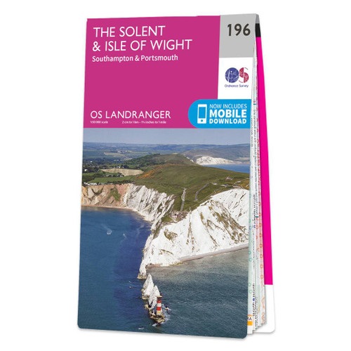
- The Solent, Isle of Wight, Southampton & Portsmouth OS Landranger Active Map 196 (waterproof)
- Isle of Wight with the Southampton - Portsmouth area, including part of the New Forest National Park and a section of the E9 European Long-distance Path, on a waterproof and tear-resistant OS Active version of map No. 196 from the Ordnance Survey’s Landranger series at 1:50,000, with contoured and GPS compatible topographic mapping plus tourist... Read more

The Book Depository
United Kingdom
United Kingdom
- Wir Zwei umrunden die Isle of Wight
- Mit dem Rucksack unterwegs in Südengland Read more

The Book Depository
United Kingdom
United Kingdom
- Atchison's Walks: The Complete Hills of Britain
- ATCHISON's Complete Hills of Britain Series is a comprehensive guidebook series in 10 volumes. Each book divides a region of Britain into 50 separate walking areas, each with a major impressive hill to walk around - or ascend. It illustrates 3 superb walks for each area; a 2hr easy walk, a 3-4 hrs keep fit walk, and a challenging 5-7 hour walk... Read more

Stanfords
United Kingdom
2024
United Kingdom
2024
- The Solent, Isle of Wight, Southampton & Portsmouth OS Landranger Map 196 (paper)
- Isle of Wight with the Southampton - Portsmouth area, including part of the New Forest National Park and a section of the E9 European Long-distance Path, on a paper version of map No. 196 from the Ordnance Survey’s Landranger series at 1:50,000, with contoured and GPS compatible topographic mapping plus tourist information.MOBILE DOWNLOADS: As... Read more
- Also available from:
- The Book Depository, United Kingdom
- De Zwerver, Netherlands


- Also available from:
- De Zwerver, Netherlands


- Also available from:
- De Zwerver, Netherlands

Bol.com
Netherlands
Netherlands
- The Good Pub Guide
- Over 1,000 pubs in London and the South East from the perennially popular Good Pub Guide.This handy portable guide features up-to-date information, including food, drinks, facilities and opening hours, for the best pubs in London and the south east of England, as chosen by the highly respected editors of the annualGood Pub Guide.Spanning... Read more
- Also available from:
- Bol.com, Belgium
Bol.com
Belgium
Belgium
- The Good Pub Guide
- Over 1,000 pubs in London and the South East from the perennially popular Good Pub Guide.This handy portable guide features up-to-date information, including food, drinks, facilities and opening hours, for the best pubs in London and the south east of England, as chosen by the highly respected editors of the annualGood Pub Guide.Spanning... Read more

The Book Depository
United Kingdom
United Kingdom
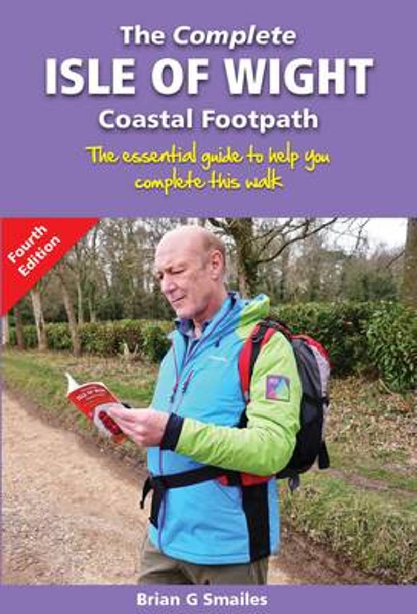
- The Complete Isle of Wight Coastal Footpath
- The Essential Guide to Help You Complete This Walk Read more
- Also available from:
- Bol.com, Netherlands
- Bol.com, Belgium
Bol.com
Netherlands
Netherlands
- The Complete Isle of Wight Coastal Footpath
- An essential guide to help you complete the Isle of Wight coastal footpathTo walk the entire coastline of an island such as the Isle of Wight is a reward in itself - to experience the exhilarating views and coastline of this island, is something different.The coastal footpath route described in this book is divided into 5 sections. This gives... Read more
Bol.com
Belgium
Belgium
- The Complete Isle of Wight Coastal Footpath
- An essential guide to help you complete the Isle of Wight coastal footpathTo walk the entire coastline of an island such as the Isle of Wight is a reward in itself - to experience the exhilarating views and coastline of this island, is something different.The coastal footpath route described in this book is divided into 5 sections. This gives... Read more

- Also available from:
- Bol.com, Netherlands
- Bol.com, Belgium
Bol.com
Netherlands
Netherlands
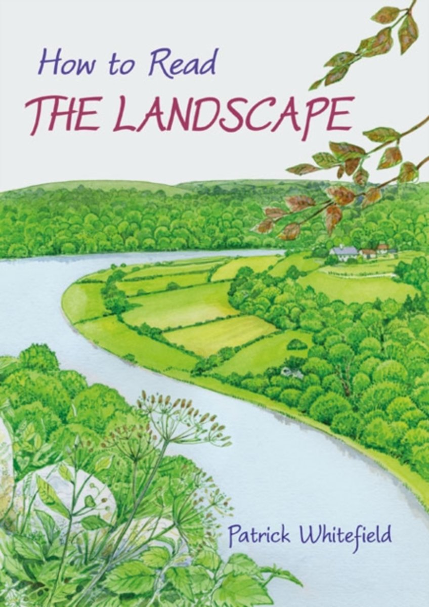
- How to Read the Landscape
- According to an ICM poll, 77 percent of UK adults, or about 38 million people, say they walk for pleasure at least once a month. It is remarkable, therefore, that no one has written about the landscapes they re walking through and enjoying . . . until now.Patrick Whitefield has spent a lifetime living and working in the countryside and twenty... Read more
Bol.com
Belgium
Belgium
- How to Read the Landscape
- According to an ICM poll, 77 percent of UK adults, or about 38 million people, say they walk for pleasure at least once a month. It is remarkable, therefore, that no one has written about the landscapes they re walking through and enjoying . . . until now.Patrick Whitefield has spent a lifetime living and working in the countryside and twenty... Read more

Stanfords
United Kingdom
2014
United Kingdom
2014
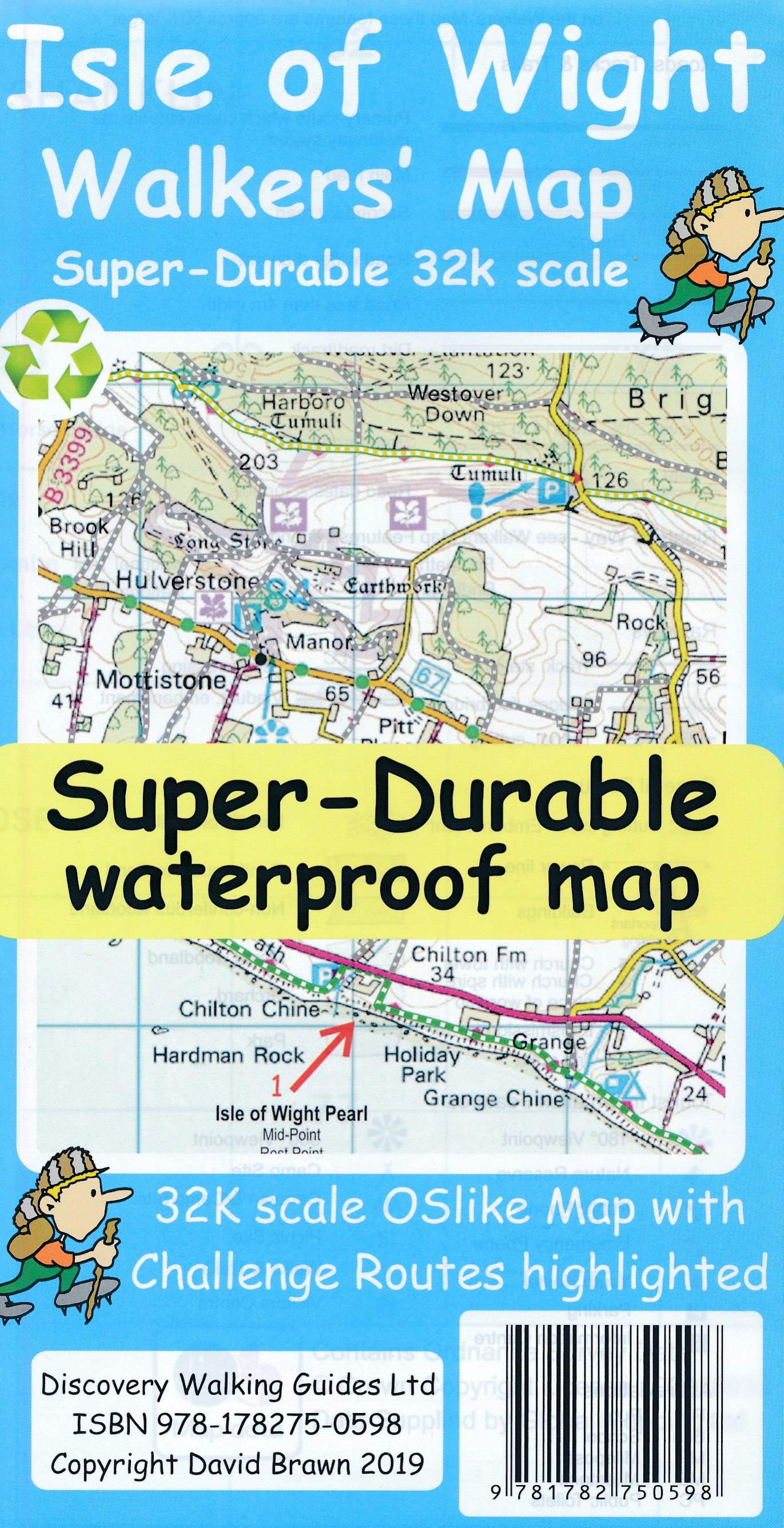
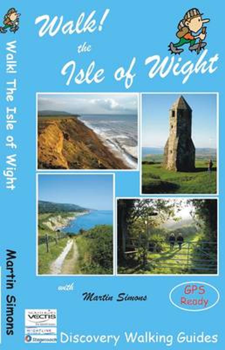
- Walk! The Isle of Wight
- Walk The Isle of Wight is Martin Simons’ Discovery Walking Guide exploring the walking possibilities in one of the best destinations in the UK and home to the largest walking festival of its kind. The guide covers a range of walks including routes on Tennyson Down and the Needles, Newtown Nature Reserve, Shorewell and the Downs, Newport and... Read more
- Also available from:
- Bol.com, Netherlands
- Bol.com, Belgium
Bol.com
Netherlands
2014
Netherlands
2014
- Walk! The Isle of Wight
- Confidently explore the Isle of Wight's amazing variety of beautiful and varied scenery with Martin Simons' 40 fully detailed walking routes suitable for a wide range of ages and fitness levels. Each route's itinerary includes: - walking route summary. - ratings for Effort, Time, Distance, Ascents/Descents, Refreshments and Vertigo risk. -... Read more
Bol.com
Belgium
2014
Belgium
2014
- Walk! The Isle of Wight
- Confidently explore the Isle of Wight's amazing variety of beautiful and varied scenery with Martin Simons' 40 fully detailed walking routes suitable for a wide range of ages and fitness levels. Each route's itinerary includes: - walking route summary. - ratings for Effort, Time, Distance, Ascents/Descents, Refreshments and Vertigo risk. -... Read more
Maps

Stanfords
United Kingdom
United Kingdom
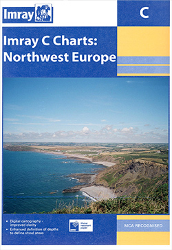
- The Solent and Isle of Wight 1810-1811
- Map No. 196, The Solent and Isle of Wight 1810-1811, in the Cassini Historical Series of old Ordnance Survey mapping of England and Wales at 1:50,000 in a format designed to offer a convenient comparison with the present day coverage from the OS, and most locations in three different editions. Old historical maps have been combined so that the... Read more
Stanfords
United Kingdom
United Kingdom
- C3 Isle of Wight SUPERCEDED
- Plans included:Lymington River (1:17 500)River Hamble (1:20 000)Bembridge Harbour (1:20 000)Continuation of Southampton Water (1:45 000)On this 2018 edition the latest depth surveys have been applied. Completed works on the Capital Dredge Programme are included. The latest 2018 racing buoy positions are shown. There has been general updating... Read more
Stanfords
United Kingdom
United Kingdom
- The Solent and Isle of Wight 1919
- Map No. 196, The Solent and Isle of Wight 1919, in the Cassini Historical Series of old Ordnance Survey mapping of England and Wales at 1:50,000 in a format designed to offer a convenient comparison with the present day coverage from the OS, and most locations in three different editions. Old historical maps have been combined so that the sheet... Read more

Stanfords
United Kingdom
United Kingdom
- C9 Beachy Head to the Isle of Wight
- Plans included: Portsmouth, Langstone & Chichester Harbours (1:55,000) Littlehampton (1:13,500) Shoreham Harbour (1:20,000) Brighton Marina (1:8,500) Newhaven (1:16,500) Sovereign Harbour (1:15,000) On this 2013 edition, the latest known depths have been applied throughout the chart, particularly at Shoreham Harbour, Newhaven and Sovereign... Read more
Stanfords
United Kingdom
United Kingdom
- The Solent and Isle of Wight 1897-1899
- Map No. 196, The Solent and Isle of Wight 1897-1899, in the Cassini Historical Series of old Ordnance Survey mapping of England and Wales at 1:50,000 in a format designed to offer a convenient comparison with the present day coverage from the OS, and most locations in three different editions. Old historical maps have been combined so that the... Read more

Stanfords
United Kingdom
United Kingdom
- C3 Isle of Wight
- Plans included:Lymington River (1:17 500)River Hamble (1:20 000)Bembridge Harbour (1:20 000)Continuation of Southampton Water (1:45 000)On this 2018 edition the latest depth surveys have been applied. Completed works on the Capital Dredge Programme are included. The latest 2018 racing buoy positions are shown. There has been general updating... Read more
Stanfords
United Kingdom
United Kingdom
- The Solent and Isle of Wight 1810-1919 (3-map set)
- Map No. 196, The Solent and Isle of Wight 1810-1919 (3-map set), in the Cassini Historical Series of old Ordnance Survey mapping of England and Wales at 1:50,000 in a format designed to offer a convenient comparison with the present day coverage from the OS, and most locations in three different editions. Old historical maps have been combined... Read more

Stanfords
United Kingdom
United Kingdom
- Hampshire & The Isle of Wight Cycle Tours
- Hampshire and the Isle of Wight is one of 10 titles in the updated Cycle Tours series. The series has now been in continuous print for more than 15 years and with regular route revisions and updating the successful formula has gathered a large following.Each book in the series contains 20 routes all of which are either totally new or have been... Read more

Stanfords
United Kingdom
United Kingdom
- Surrey & West Sussex Cycle Tours
- ”Surrey and West Sussex” is one of 10 titles in the updated ”Cycle Tours” series. The series has now been in continuous print for more than 15 years and with regular route revisions and updating the successful formula has gathered a large following. Each book in the series contains 20 routes all of which are either totally new or have been... Read more

Stanfords
United Kingdom
United Kingdom
- Isle of Wight AA Walker`s Map 16
- Isle of Wight at 1:25,000 in a series of Walker’s Maps published by the AA with the cartography from the Ordnance Survey’s Explorer series. The map is double-sided and coverage includes The Solent and part of the mainland with ferry connections from Portsmouth and Lymington.Maps in the AA Walker’s series are identical to the OS Explorer maps... Read more

Stanfords
United Kingdom
United Kingdom
- 2300 Dorset and Devon Coasts Chart Pack - 2015 edition SUPERCEDED
- The Needles to Start Point including Poole Harbour A pack of 9 charts for the Dorset and Devon Coasts. The pack includes: 2300.1 Isle of Wight to Start Point 1:400,000 2300.2 Western Approaches to the Solent 1:60,000 2300.3 Poole Harbour to Bill of Portland 1:75,000 2300.4 Lyme Bay 1:175,000 2300.5 Poole Harbour 1:20,000 2300.6 River Exe... Read more
De Zwerver
Netherlands
Netherlands
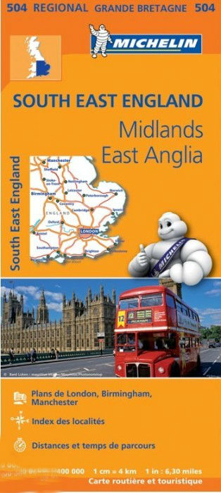
- Wegenkaart - landkaart 504 Southeast England - Zuid oost Engeland - Kent | Michelin
- MICHELIN REGION MIDLANDS EST-ANGLIELondres, Birmingham, Ile de Wight, Canterbury, Manchester , 3 régions sur une seule carte Read more