
Loch Lomond
Description
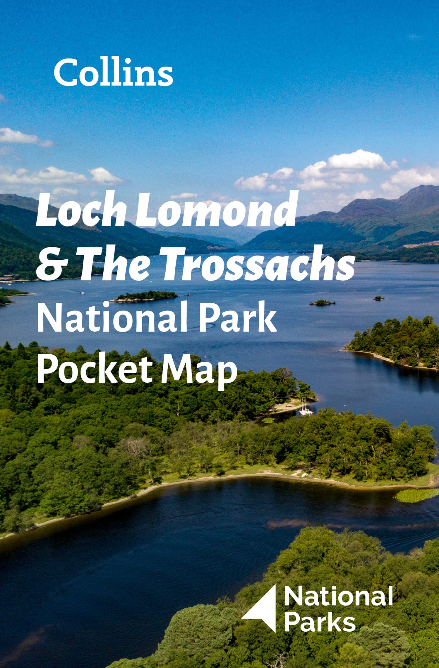
Loch Lomond is a large Scottish lake, not far from Glasgow, and a very popular holiday destination. The area feels more friendly than other parts of the Scottish Highlands, maybe due to the forests on the lake's banks. The surrounding mountains are truly wild and offer a contrast. The popular West Highland Way skirts the lake.
Trails in this region
Links
Facts
Reports
Guides and maps
Lodging
Organisations
Tour operators
GPS
Other
Books

Stanfords
United Kingdom
United Kingdom
- Cambridge, Newmarket & Saffron Walden OS Landranger Active Map 154 (waterproof)
- Parts of Cambridgeshire, Suffolk and Essex with Cambridge, Newmarket and Saffron Walden, including part of the E2 European Long-distance path, on a waterproof and tear-resistant OS Active version of map No. 154 from the Ordnance Survey’s Landranger series at 1:50,000, with contoured and GPS compatible topographic mapping plus tourist... Read more

Stanfords
United Kingdom
United Kingdom
- North York Moors Western OS Explorer Active Map OL26 (waterproof)
- The western part of the North York Moors National Park on a detailed topographic and GPS compatible map OL26, waterproof version, from the Ordnance Survey’s 1:25,000 Explorer series. Coverage extends from Ampleforth in the south northwards to Saltburn-by-the-Sea, and from Ingleby Arncliffe to Danby, Castleton and Hutton-le-Hole, and includes... Read more

Stanfords
United Kingdom
2019
United Kingdom
2019
- West Highland Way: Glasgow to Fort William
- Fully revised 7th edition. The West Highland Way passes through some of the most spectacular scenery in all of Britain. From the outskirts of Glasgow it winds for 96 miles (154.5km) along the wooded banks of Loch Lomond, across the wilderness of Rannoch Moor, over the mountains above Glencoe to a dramatic finish passing Ben Nevis - Britain`s... Read more

Stanfords
United Kingdom
United Kingdom
- Bury St Edmunds, Sudbury & Stowmarket OS Landranger Active Map 155 (waterproof)
- Suffolk around Bury St Edmunds, Sudbury and Stowmarket, including part of the E2 European Long-distance path, on a waterproof and tear-resistant OS Active version of map No. 155 from the Ordnance Survey’s Landranger series at 1:50,000, with contoured and GPS compatible topographic mapping plus tourist information.MOBILE DOWNLOADS: As well as... Read more

Stanfords
United Kingdom
United Kingdom
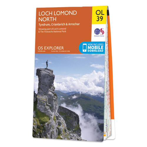
- Loch Lomond North - Tyndrum, Crianlarich & Arrochar OS Explorer Active Map OL39 (waterproof)
- The northern part of Loch Lomond on a detailed topographic and GPS compatible map No. 364, waterproof version, from the Ordnance Survey’s 1:25,000 Explorer series. Coverage includes a section of the Loch Lomond and The Trossachs National Park with parts of the Queen Elizabeth Forest Park and the Argyll Forest Park, 14 Munro peaks including An... Read more

Stanfords
United Kingdom
United Kingdom
- Maidstone, Royal Tunbridge Wells, Sevenoaks & Tonbridge OS Landranger Active Map 188 (waterproof)
- Maidstone, Tunbridge Wells and the High Weald area, including a section of the North Downs Way / E2 European Long-distance Path, on a waterproof and tear-resistant OS Active version of map No. 188 from the Ordnance Survey’s Landranger series at 1:50,000, with contoured and GPS compatible topographic mapping plus tourist information.MOBILE... Read more

Stanfords
United Kingdom
United Kingdom
- Crieff, Comrie & Glen Artney - Strathearn & Auchterarder OS Explorer Active Map OL47 (waterproof)
- Crieff, Comrie and Glen Artney area of the Scottish Highlands on a detailed topographic and GPS compatible map No. OL47, waterproof version, from the Ordnance Survey’s 1:25,000 Explorer series. Coverage includes a section of the Loch Lomond and The Trossachs National Park along the Keltie Water, the River Earn (Cormie to St Fillans) National... Read more

Stanfords
United Kingdom
United Kingdom
- Cheltenham, Cirencester & Stow-on-the-Wold OS Landranger Active Map 163 (waterproof)
- Cheltenham and Cirencester area, including sections of the Thames Path, the Cotswold Way and the E2 European Long-distance Path, on a waterproof and tear-resistant OS Active version of map No. 163 from the Ordnance Survey’s Landranger series at 1:50,000, with contoured and GPS compatible topographic mapping plus tourist information.MOBILE... Read more

Stanfords
United Kingdom
United Kingdom
- Ely, Wisbech & Downham Market OS Landranger Active Map 143 (waterproof)
- Cambridgeshire around Ely, Wisbech and Downham Market, including part of the E2 European Long-distance Path, on a waterproof and tear-resistant OS Active version of map No. 143 from the Ordnance Survey’s Landranger series at 1:50,000, with contoured and GPS compatible topographic mapping plus tourist information.MOBILE DOWNLOADS: As well as the... Read more

Stanfords
United Kingdom
United Kingdom
- Oxford, Chipping Norton & Bicester OS Landranger Active Map 164 (waterproof)
- Oxford area, including sections of the Thames Path and the E2 European Long-distance Path, on a waterproof and tear-resistant OS Active version of map No. 164 from the Ordnance Survey’s Landranger series at 1:50,000, with contoured and GPS compatible topographic mapping plus tourist information.MOBILE DOWNLOADS: As well as the physical edition... Read more

Stanfords
United Kingdom
United Kingdom
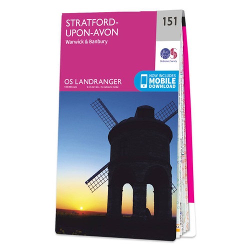
- Stratford-upon-Avon, Warwick & Banbury OS Landranger Active Map 151 (waterproof)
- The area between Stratford-upon-Avon, Warwick and Banbury, including the northern part of the Cotswold Hills and part of the Cotswold Way / E2 European Long-distance Path, on a waterproof and tear-resistant OS Active version of map No. 151 from the Ordnance Survey’s Landranger series at 1:50,000, with contoured and GPS compatible topographic... Read more

Stanfords
United Kingdom
United Kingdom
- Ipswich, The Naze & Clacton-on-Sea OS Landranger Active Map 169 (waterproof)
- Ipswich with Harwich and The Naze area, including part of the E2 European Long-distance Path, on a waterproof and tear-resistant OS Active version of map No. 169 from the Ordnance Survey’s Landranger series at 1:50,000, with contoured and GPS compatible topographic mapping plus tourist information.MOBILE DOWNLOADS: As well as the physical... Read more

Stanfords
United Kingdom
2018
United Kingdom
2018
- Loch Lomond North - Tyndrum, Crianlarich & Arrochar OS Explorer Map OL39 (paper)
- The northern part of Loch Lomond on a detailed topographic and GPS compatible map OL39, paper version, from the Ordnance Survey’s 1:25,000 Explorer series. Coverage includes a section of the Loch Lomond and The Trossachs National Park with parts of the Queen Elizabeth Forest Park and the Argyll Forest Park, 14 Munro peaks including An Caisteal,... Read more
- Also available from:
- The Book Depository, United Kingdom
- De Zwerver, Netherlands

De Zwerver
Netherlands
2018
Netherlands
2018

Stanfords
United Kingdom
2016
United Kingdom
2016
- Stratford-upon-Avon, Warwick & Banbury OS Landranger Map 151 (paper)
- The area between Stratford-upon-Avon, Warwick and Banbury, including the northern part of the Cotswold Hills and part of the Cotswold Way / E2 European Long-distance Path, on a paper version of map No. 151 from the Ordnance Survey’s Landranger series at 1:50,000, with contoured and GPS compatible topographic mapping plus tourist... Read more
- Also available from:
- The Book Depository, United Kingdom
- De Zwerver, Netherlands

De Zwerver
Netherlands
2016
Netherlands
2016

- Also available from:
- De Zwerver, Netherlands
Maps

Stanfords
United Kingdom
United Kingdom
- Luxembourg North
- One of two topographic survey maps of Luxembourg at 1:50,000, with contours at 10-metres intervals and additional relief shading. An overprint highlights long-distance footpaths, including the GR5 (E-2), cycle routes, and various places of interest, including campsites. The map covers an area of approximately 53 x 43 km / 33 x 27 miles. Map... Read more

Stanfords
United Kingdom
United Kingdom
- Luxembourg South
- One of two topographic survey maps of Luxembourg at 1:50,000, with contours at 10-metres intervals and additional relief shading. An overprint highlights long-distance footpaths, including the GR5 (E-2), cycle routes, and various places of interest, including campsites. The map covers an area of approximately 53 x 43 km / 33 x 27 miles. Map... Read more

Stanfords
United Kingdom
United Kingdom
- Loch Lomond & the Trossachs National Park Outdoor Atlas
- Lomond & the Trossachs National Park in an indexed, A5 size, spiral-bound recreational atlas at 1:40,000 from Harvey Map Services, with additional street plans, overview maps showing local peaks or the transport links, lists of Munros and lochs, etc. Topography is shown by contours at 15m intervals, with additional colouring and/or graphics for... Read more

The Book Depository
United Kingdom
United Kingdom
- Ben Lomond and Loch Katrine
- Ben Lomond and Loch Katrine area between the eastern shore of Loch Lomond and the Trossachs at 1:25,000 on a waterproof and tear-resistant map from Harvey Map Services in their Superwalker series.Maps in Harvey Read more

Stanfords
United Kingdom
United Kingdom
- The Great Trossachs Path Harvey National Trail XT40
- The Great Trossachs Path, a 48km / 30 mile long spur off the West Highlight Way linking Inversnaid on Lomond with Callander presented at 1:40,000 on a GPS compatible, light, waterproof and tear-resistant map from Harvey Map Services. The route which runs along the shores of Loch Arklet, Loch Katrine, Loch Achray and Loch Venachar and links in... Read more
- Also available from:
- The Book Depository, United Kingdom
- De Zwerver, Netherlands


De Zwerver
Netherlands
Netherlands
- Wandelkaart The Great Trossachs Path | Harvey Maps
- The Great Trossachs Path, a 48km / 30 mile long spur off the West Highlight Way linking Inversnaid on Lomond with Callander presented at 1:40,000 on a GPS compatible, light, waterproof and tear-resistant map from Harvey Map Services. The route which runs along the shores of Loch Arklet, Loch Katrine, Loch Achray and Loch Venachar and links in... Read more

Stanfords
United Kingdom
United Kingdom
- The West Highland Way - 95 Mile Route Between Milngavie and Fort William
- The West Highland Way waterproof map from Footprint is a map-guide to the 95 mile (153km) route between Milngavie and Fort William. The mapping is based on Ordnance Survey data at a scale of 1:40,000, with compact and concise information for walkers. Read more
- Also available from:
- The Book Depository, United Kingdom
- De Zwerver, Netherlands

The Book Depository
United Kingdom
United Kingdom
- The West Highland Way (Footprint Map)
- A Footprint Map-Guide to the 95 Mile Route Between Milngavie and Fort William Read more

De Zwerver
Netherlands
Netherlands
- Wandelkaart The West Highland Way | Footprint maps
- The West Highland Way waterproof map from Footprint is a map-guide to the 95 mile (153km) route between Milngavie and Fort William. The mapping is based on Ordnance Survey data at a scale of 1:40,000, with compact and concise information for walkers. Read more

Stanfords
United Kingdom
2017
United Kingdom
2017
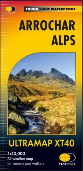
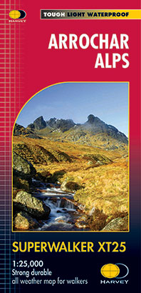
- Arrochar Alps Harvey Superwalker XT25
- The Arrochar Alps along the western shore of Loch Lomond at 1:25,000 on a waterproof and tear-resistant map from Harvey Map Services in their Superwalker series. Coverage includes Loch Long and Loch Goil.Maps in Harvey’s Superwalker series have contours at 15m intervals, with additional graphics for various types of terrain (crags, large... Read more
- Also available from:
- The Book Depository, United Kingdom
- De Zwerver, Netherlands
De Zwerver
Netherlands
2017
Netherlands
2017
- Wandelkaart Arrochar Alps | Harvey Maps
- The Arrochar Alps along the western shore of Loch Lomond at 1:25,000 on a waterproof and tear-resistant map from Harvey Map Services in their Superwalker series. Coverage includes Loch Long and Loch Goil.Maps in Harvey’s Superwalker series have contours at 15m intervals, with additional graphics for various types of terrain (crags, large... Read more

Stanfords
United Kingdom
United Kingdom
- Great Glen Way Harvey National Trail XT40
- Great Glen Way, a 126km/79 miles trail from Fort William along Loch Ness to Inverness, presented at 1:40,000 on a light, waterproof and tear-resistant map from Harvey Map Services. The whole route is covered on four overlapping panels, and includes street plans of Fort William (showing the start/end of the West Highland Way) and Inverness. Map... Read more
- Also available from:
- The Book Depository, United Kingdom
- De Zwerver, Netherlands

The Book Depository
United Kingdom
United Kingdom
- Great Glen Way
- Great Glen Way, a 126km/79 miles trail from Fort William along Loch Ness to Inverness, presented at 1:40,000 on a light, waterproof and tear-resistant map from Harvey Map Services. The whole route is covered on four overlapping panels, and includes street plans of Fort William (showing the start/end of the West Highland Way) and Inverness. Map... Read more

De Zwerver
Netherlands
Netherlands
- Wandelkaart Great Glen Way | Harvey Maps
- Great Glen Way, a 126km/79 miles trail from Fort William along Loch Ness to Inverness, presented at 1:40,000 on a light, waterproof and tear-resistant map from Harvey Map Services. The whole route is covered on four overlapping panels, and includes street plans of Fort William (showing the start/end of the West Highland Way) and Inverness. Map... Read more

Stanfords
United Kingdom
2020
United Kingdom
2020
- West Highland Way - Easy-to-use Folding Map and Essential Information
- The 153-kilometre West Highland Way encompasses the variety of Scotland`s wild places. The route, which begins in Milngavie and finishes in Fort William, passes from Glasgow, Scotland`s friendliest city, through lochs and forests, and across wild moors in the shadows of Munros. Offering panoramic views and clear waymarking, it is no wonder this... Read more
- Also available from:
- The Book Depository, United Kingdom
- De Zwerver, Netherlands

The Book Depository
United Kingdom
2020
United Kingdom
2020
- West Highland Way
- Easy-to-use folding map and essential information, with custom itinerary planning for walkers, trekkers, fastpackers and trail runners Read more

De Zwerver
Netherlands
2020
Netherlands
2020
- Wandelkaart West Highland Way | Vertebrate Publishing
- The 153-kilometre West Highland Way encompasses the variety of Scotland`s wild places. The route, which begins in Milngavie and finishes in Fort William, passes from Glasgow, Scotland`s friendliest city, through lochs and forests, and across wild moors in the shadows of Munros. Offering panoramic views and clear waymarking, it is no wonder this... Read more

Stanfords
United Kingdom
2018
United Kingdom
2018
- East Highland Way Harvey National Trail XT40
- East Highland Way, a 132km / 82 miles trail on a light, waterproof and tear-resistant map at 1:40,000 from Harvey Map Services presenting the route accompanied by extensive additional tourist information. The route links Fort Williams, the northern point of the West Highland Way and the southern point of the Great Glen Way, with Aviemore, the... Read more
- Also available from:
- The Book Depository, United Kingdom
- De Zwerver, Netherlands

The Book Depository
United Kingdom
2018
United Kingdom
2018
- East Highland Way
- East Highland Way, a 132km / 82 miles trail on a light, waterproof and tear-resistant map at 1:40,000 from Harvey Map Services presenting the route accompanied by extensive additional tourist information. The route links Fort Williams, the northern point of the West Highland Way and the southern point of the Great Glen Way, with Aviemore, the... Read more

De Zwerver
Netherlands
2018
Netherlands
2018
- Wandelkaart East Highland Way | Harvey Maps
- East Highland Way, a 132km / 82 miles trail on a light, waterproof and tear-resistant map at 1:40,000 from Harvey Map Services presenting the route accompanied by extensive additional tourist information. The route links Fort Williams, the northern point of the West Highland Way and the southern point of the Great Glen Way, with Aviemore, the... Read more

The Book Depository
United Kingdom
United Kingdom
- La Palma Hiking + Leisure Map 1:30 000
- Uitstekende wandelkaart van La Palma, tweezijdig, met ingetekende routes, hoogtelijnen en andere belangrijke informatie. Ook met fietsroutes, bovendien GPS geschikt! Read more
- Also available from:
- Bol.com, Netherlands
- Bol.com, Belgium
- De Zwerver, Netherlands

Bol.com
Netherlands
Netherlands
- FB WKE2 La Palma
- Dubbelzijdige wandel- en vrijetijdskaart • toeristische tips • stadsplattegronden • fietspaden en mountainbikeroutes • GPS-punten • ski- en langlaufroutes Read more
Bol.com
Belgium
Belgium
- FB WKE2 La Palma
- Dubbelzijdige wandel- en vrijetijdskaart • toeristische tips • stadsplattegronden • fietspaden en mountainbikeroutes • GPS-punten • ski- en langlaufroutes Read more

De Zwerver
Netherlands
Netherlands
- Wandelkaart WKE2 La Palma | Freytag & Berndt
- Uitstekende wandelkaart van La Palma, tweezijdig, met ingetekende routes, hoogtelijnen en andere belangrijke informatie. Ook met fietsroutes, bovendien GPS geschikt! Read more

Ordnance Survey
United Kingdom
United Kingdom
- Harvey Maps Loch Lomond & Trossachs 1000 Piece Jigsaw Puzzle
- Loch Lomond and Trossachs map jigsaw of your favourite hills. The map puzzle is a full colour jigsaw based on the renowned Super walker map, so the addictive walker can examine familiar terrain in detail in the winter evenings when deprived of hill walking. The map muzzle is a fascinating map jigsaw puzzle which will delight walkers and jigsaw... Read more
Stanfords
United Kingdom
2018
United Kingdom
2018
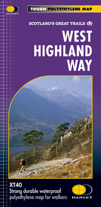
- West Highland Way Harvey National Trail XT40
- The West Highland Way, Scotland’s premier 153km / 96 miles long trail from Milngavie near Glasgow along Loch Lomond to Fort William presented at 1:40,000 on a light, waterproof and tear-resistant map from Harvey Map Services. The whole route is covered by nine overlapping panels, and the map includes small street plan of Milngavie, Tyndrum,... Read more
- Also available from:
- Bol.com, Netherlands
- Bol.com, Belgium
- De Zwerver, Netherlands

Bol.com
Netherlands
2018
Netherlands
2018
- West Highland Way XT40
- The West Highland Way is 96 miles (153 km) long and links Milngavie (Glasgow) to Fort William. It run's from Scotland's largest city to the foot of its highest mountain, Ben Nevis, through the Loch Lomond and Trossachs National Park.Detailed mapping, full legend in English, French and German. National Grid. Read more
Bol.com
Belgium
2018
Belgium
2018
- West Highland Way XT40
- The West Highland Way is 96 miles (153 km) long and links Milngavie (Glasgow) to Fort William. It run's from Scotland's largest city to the foot of its highest mountain, Ben Nevis, through the Loch Lomond and Trossachs National Park.Detailed mapping, full legend in English, French and German. National Grid. Read more

De Zwerver
Netherlands
2018
Netherlands
2018
- Wandelkaart West Highland Way | Harvey Maps
- Wandelkaart van de West Highland Way met uitsnedes van de route. Leap forward in technical excellence. Tough, light and 100% wateproof. Compact and light - the map itself weighs just 60gms - a third of the weight of a laminated map, and much less bulky. And you can fold or refold it time and again, or stuff it in your back pocket and it... Read more

Stanfords
United Kingdom
2014
United Kingdom
2014
- Cape Wrath Trail North - Strathcarron to Cape Wrath Harvey National Trail XT40
- The northern section of the Cape Wrath Trail, from Strathcarron via Ullapool to Cape Wrath - the most north-westerly point in the mainland United Kingdom, presented at 1:40,000 on a light, waterproof and tear-resistant map from Harvey Map Services. The map covers this section of the trail on 12 overlapping panels. The whole Cape Wrath Trail is... Read more
- Also available from:
- The Book Depository, United Kingdom
- Bol.com, Netherlands
- Bol.com, Belgium
- De Zwerver, Netherlands


Bol.com
Netherlands
2014
Netherlands
2014
- Cape Wrath Trail North XT40
- The northern section of the Cape Wrath Trail, from Strathcarron via Ullapool to Cape Wrath - the most north-westerly point in the mainland United Kingdom, presented at 1:40,000 on a light, waterproof and tear-resistant map from Harvey Map Services. The map covers this section of the trail on 12 overlapping panels. The whole Cape Wrath Trail is... Read more
Bol.com
Belgium
2014
Belgium
2014
- Cape Wrath Trail North XT40
- The northern section of the Cape Wrath Trail, from Strathcarron via Ullapool to Cape Wrath - the most north-westerly point in the mainland United Kingdom, presented at 1:40,000 on a light, waterproof and tear-resistant map from Harvey Map Services. The map covers this section of the trail on 12 overlapping panels. The whole Cape Wrath Trail is... Read more

De Zwerver
Netherlands
2014
Netherlands
2014
- Wandelkaart Cape Wrath Trail North | Harvey Maps
- The northern section of the Cape Wrath Trail, from Strathcarron via Ullapool to Cape Wrath - the most north-westerly point in the mainland United Kingdom, presented at 1:40,000 on a light, waterproof and tear-resistant map from Harvey Map Services. The map covers this section of the trail on 12 overlapping panels. The whole Cape Wrath Trail is... Read more
De Zwerver
Netherlands
2022
Netherlands
2022