
Preseli Hills
Description
A range of hills in north Pembrokeshire, Wales. Using the Pembrokeshire Coast Path, you can create a circular walk of three days.
Trails in this region
Links
Facts
Reports
Guides and maps
Lodging
Organisations
Tour operators
GPS
Other
Books


Stanfords
United Kingdom
2018
United Kingdom
2018
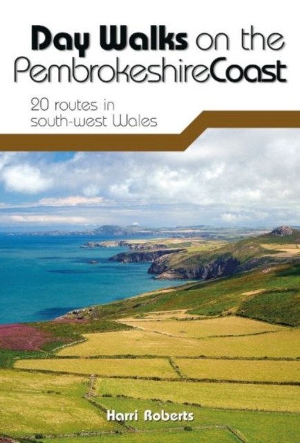
- Day Walks on the Pembrokeshire Coast: 20 routes in south-west Wales
- Day Walks on the Pembrokeshire Coast features 20 classic coastal routes between 6.5 miles and 13 miles (10.4km and 20.8km) in length, suitable for hillwalkers of all abilities. Local author and walker Harri Roberts shares his favourite walks in the national park, including a meander along Bosherston Lily Ponds - a series of interconnected... Read more
- Also available from:
- The Book Depository, United Kingdom
- De Zwerver, Netherlands

The Book Depository
United Kingdom
2018
United Kingdom
2018
- Day Walks on the Pembrokeshire Coast
- 20 routes in south-west Wales Read more
De Zwerver
Netherlands
2018
Netherlands
2018
- Wandelgids Day Walks on the Pembrokeshire Coast | Vertebrate Publishing
- Day Walks on the Pembrokeshire Coast features 20 classic coastal routes between 6.5 miles and 13 miles (10.4km and 20.8km) in length, suitable for hillwalkers of all abilities. Local author and walker Harri Roberts shares his favourite walks in the national park, including a meander along Bosherston Lily Ponds - a series of interconnected... Read more


Stanfords
United Kingdom
2015
United Kingdom
2015
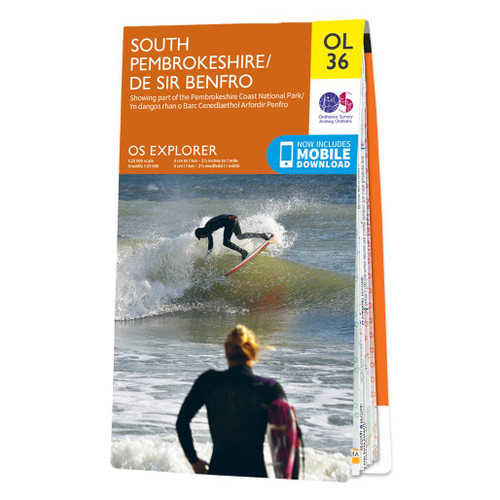
- South Pembrokeshire OS Explorer Map OL36 (paper)
- The southern coast of Pembrokeshire on a detailed topographic and GPS compatible map OL36, paper version, from the Ordnance Survey’s 1:25,000 Explorer series. Coverage includes Pembrokeshire Coast National Park, Haverforwest, Milford haven, Arberth, Tenby, Pembroke, Skomer Island, Caldey Island, the Pembrokeshire Coast Path National Trail which... Read more
- Also available from:
- The Book Depository, United Kingdom
- De Zwerver, Netherlands

De Zwerver
Netherlands
2015
Netherlands
2015

Stanfords
United Kingdom
2018
United Kingdom
2018
- Pembrokeshire Walking (40 walks)
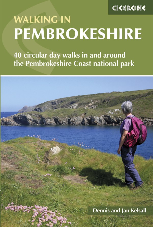
- Guidebook to 40 circular walks in Pembrokeshire in Wales. The routes, which range from 1 to 12 miles, take in the dramatic beauty of the national park and its coast, the Daugleddau and the Preseli Hills, while exploring wooded gorges, prehistoric hillforts and medieval castles.Step-by-step route descriptions are accompanied by 1:50,000 mapping.... Read more
- Also available from:
- The Book Depository, United Kingdom
- De Zwerver, Netherlands

The Book Depository
United Kingdom
2018
United Kingdom
2018
- Walking in Pembrokeshire
- 40 circular walks in and around the Pembrokeshire Coast National Park Read more
De Zwerver
Netherlands
2018
Netherlands
2018
- Wandelgids Walking in Pembrokeshire | Cicerone
- Guidebook to 40 circular walks in Pembrokeshire in Wales. Routes take in the dramatic beauty of the national park and its coast, the Daugleddau and the Preseli Hills, while exploring wooded gorges, prehistoric hillforts and medieval castles. Walks range from 1 to 12 miles and route descriptions are accompanied by 1:50,000 OS map extracts. Read more

Stanfords
United Kingdom
2021
United Kingdom
2021
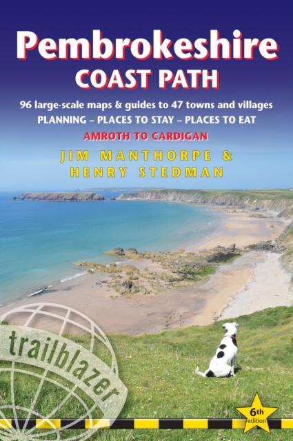
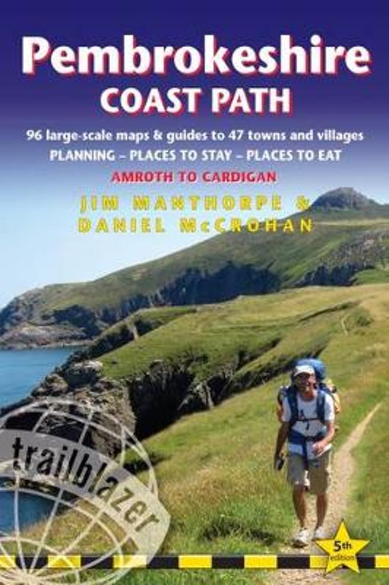
- Pembrokeshire Coast Path, Trailblazer 6
- The Pembrokeshire Coast Path follows a National Trail for 186 miles (299km) around the magnificent coastline of the Pembrokeshire Coast National Park in south-west Wales. Renowned for its unspoilt sandy beaches, secluded coves, tiny fishing villages and off-shore islands rich in bird and marine life, this National Trail provides some of the... Read more
- Also available from:
- The Book Depository, United Kingdom
- De Zwerver, Netherlands

The Book Depository
United Kingdom
2021
United Kingdom
2021
- Pembrokeshire Coast Path (Trailblazer British Walking Guides)
- Practical trekking guide to walking the whole path, Maps, Planning Places to Stay, Places to Eat Read more

The Book Depository
United Kingdom
United Kingdom
- Wales Coast Path 3
- Cardigan to Llanelli including Pembrokeshire Coast Path Read more

Stanfords
United Kingdom
2021
United Kingdom
2021
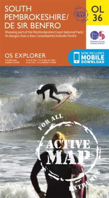
- South Pembrokeshire OS Explorer Active Map OL36 (waterproof)
- The southern coast of Pembrokeshire on a detailed topographic and GPS compatible map OL36, waterproof version, from the Ordnance Survey’s 1:25,000 Explorer series. Coverage includes Pembrokeshire Coast National Park, Haverforwest, Milford haven, Arberth, Tenby, Pembroke, Skomer Island, Caldey Island, the Pembrokeshire Coast Path National Trail... Read more
- Also available from:
- The Book Depository, United Kingdom
- De Zwerver, Netherlands

De Zwerver
Netherlands
2021
Netherlands
2021
- Also available from:
- Bol.com, Belgium
- Also available from:
- Bol.com, Belgium
Bol.com
Netherlands
2010
Netherlands
2010
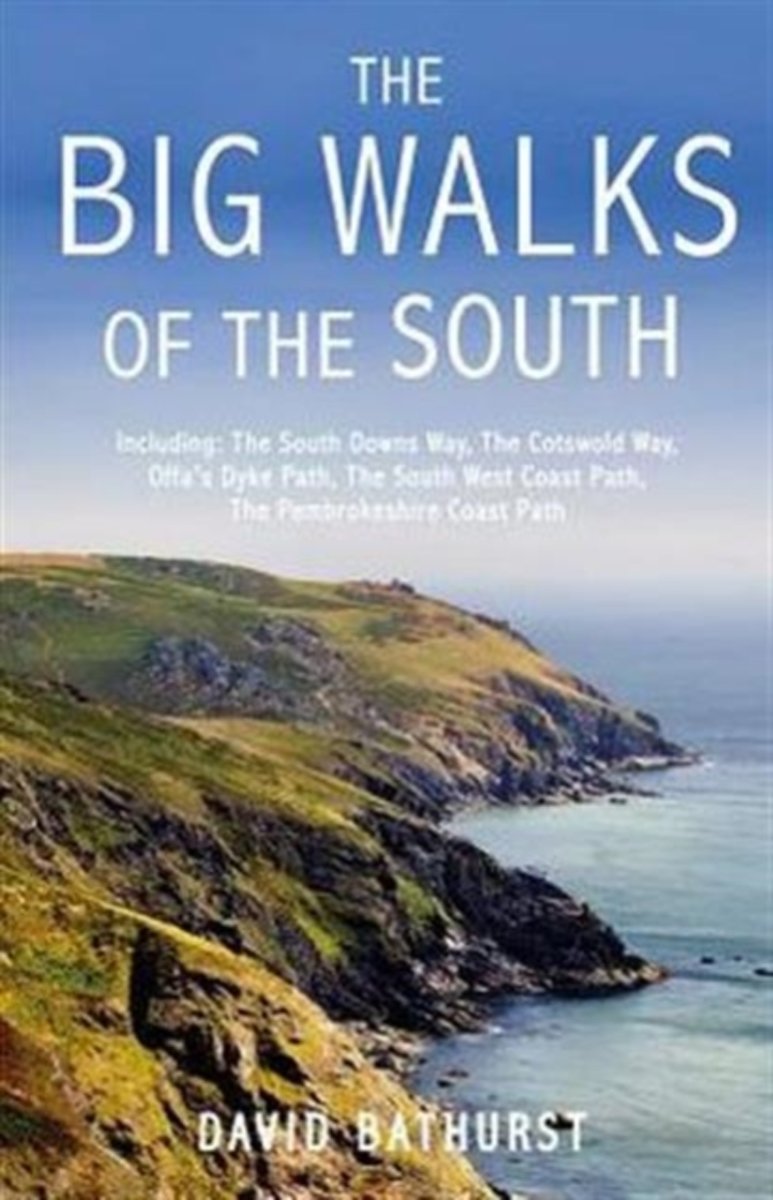
- The Big Walks of the South
- From the South Downs Way to the Pembrokeshire Coast Path, there is no better way to discover the spectacular diversity of southern Britain's landscape than on foot. Whether you enjoy exploring green and gently rolling valleys or tackling rugged cliff-top paths, there are walks here to keep you rambling all year round.An indefatigable walker,... Read more
- Also available from:
- Bol.com, Belgium
Bol.com
Belgium
2010
Belgium
2010
- The Big Walks of the South
- From the South Downs Way to the Pembrokeshire Coast Path, there is no better way to discover the spectacular diversity of southern Britain's landscape than on foot. Whether you enjoy exploring green and gently rolling valleys or tackling rugged cliff-top paths, there are walks here to keep you rambling all year round.An indefatigable walker,... Read more
Bol.com
Netherlands
2017
Netherlands
2017
- Pembrokeshire Coast Path
- Practical guidebook to walking the Pembrokeshire Coast Path. Includes maps, accommodation, where to eat, what to see along the coastal path, public transport information. 102 maps: 96 large-scale walking maps, 6 town plans, 10 stage with trail profiles and 2 overview. Downloadable GPS waypoints. Read more
- Also available from:
- Bol.com, Belgium
Bol.com
Belgium
2017
Belgium
2017
- Pembrokeshire Coast Path
- Practical guidebook to walking the Pembrokeshire Coast Path. Includes maps, accommodation, where to eat, what to see along the coastal path, public transport information. 102 maps: 96 large-scale walking maps, 6 town plans, 10 stage with trail profiles and 2 overview. Downloadable GPS waypoints. Read more

The Book Depository
United Kingdom
2014
United Kingdom
2014
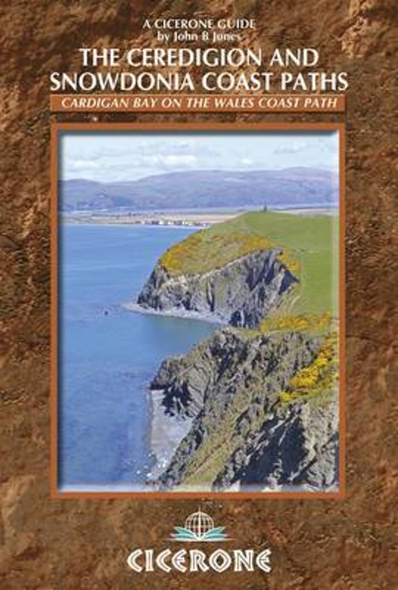
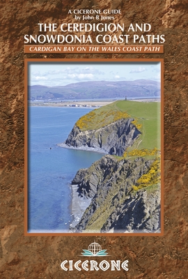
- The Ceredigion and Snowdonia Coast Paths
- The Wales Coast Path from Porthmadog to St Dogmaels Read more
- Also available from:
- Bol.com, Netherlands
- Bol.com, Belgium
- De Zwerver, Netherlands
Bol.com
Netherlands
2014
Netherlands
2014
- The Ceredigion and Snowdonia Coast Paths
- As part of the Wales Coast Path, the Ceredigion Coast Path and Snowdonia Coast Path trace a curve of 233km (145 miles) of coastal and inland walking down Cardigan Bay. This guidebook describes a 16-stage guide to the walk from Porthmadog to St Dogmaels covering the trail between the Llyn Peninsula and the Pembrokeshire Coast Path. The route is... Read more
Bol.com
Belgium
2014
Belgium
2014
- The Ceredigion and Snowdonia Coast Paths
- As part of the Wales Coast Path, the Ceredigion Coast Path and Snowdonia Coast Path trace a curve of 233km (145 miles) of coastal and inland walking down Cardigan Bay. This guidebook describes a 16-stage guide to the walk from Porthmadog to St Dogmaels covering the trail between the Llyn Peninsula and the Pembrokeshire Coast Path. The route is... Read more
De Zwerver
Netherlands
2014
Netherlands
2014
- Wandelgids Wales: The Ceredigion and Snowdonia Coast Paths | Cicerone
- As part of the Wales Coast Path, the Ceredigion Coast Path and Snowdonia Coast Path trace a curve of 233km (145 miles) of coastal and inland walking down Cardigan Bay. This guidebook describes a 16-stage guide to the walk from Porthmadog to St Dogmaels covering the trail between the Lleyn Peninsula and the Pembrokeshire Coast Path. Read more

The Book Depository
United Kingdom
2017
United Kingdom
2017
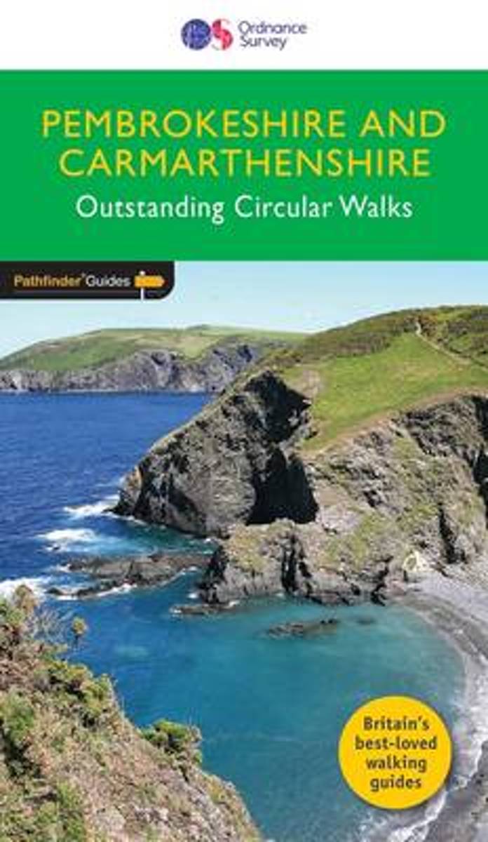
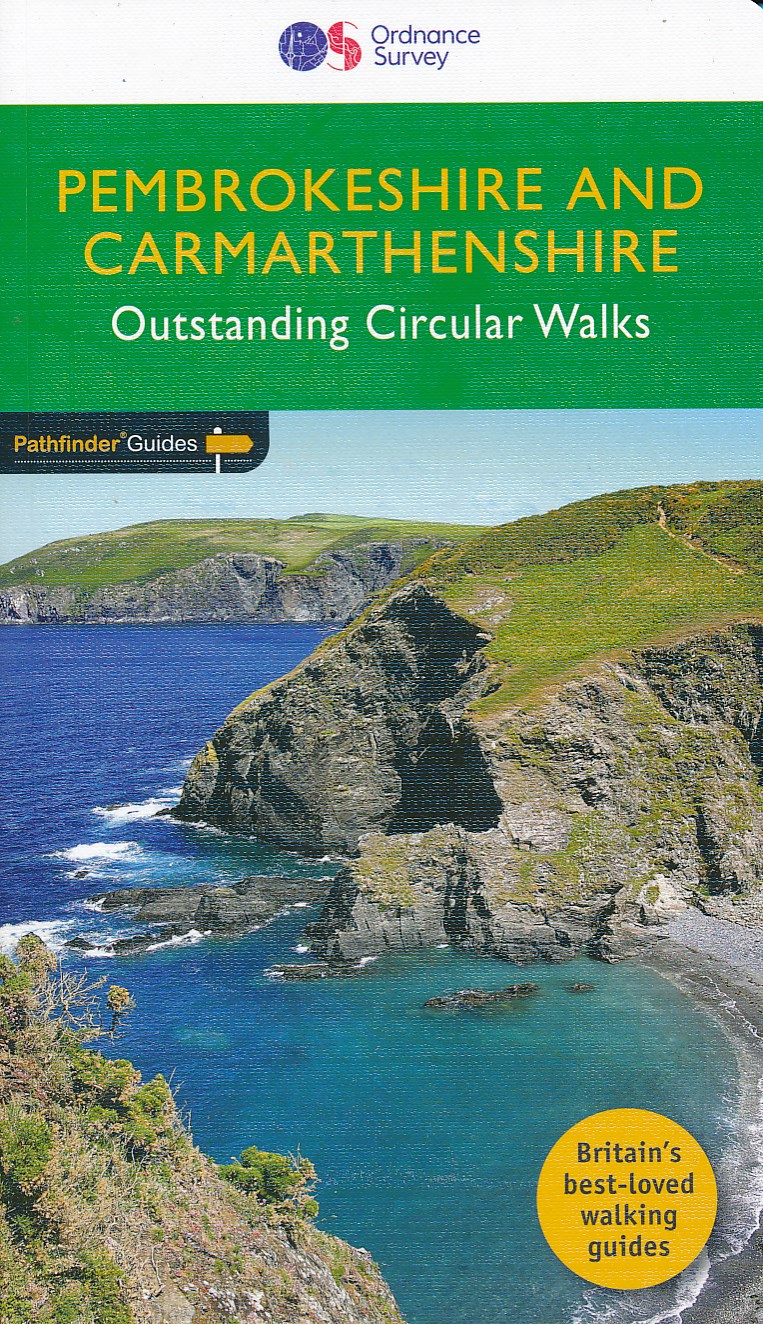
- Pembrokeshire & Carmarthenshire
- Although deep in South Wales, Pembrokeshire and Carmarthenshire have a strong English influence, but their most striking feature, from the point of view of the walker, is that they contain some of the most spectacular coastal scenery and finest stretches of coast path in Britain. Although the walks in this guide inevitably concentrate on the... Read more
- Also available from:
- Bol.com, Netherlands
- Bol.com, Belgium
- De Zwerver, Netherlands
Bol.com
Netherlands
2017
Netherlands
2017
- Pembrokeshire & Carmarthenshire
- Although deep in South Wales, Pembrokeshire and Carmarthenshire have a strong English influence, but their most striking feature, from the point of view of the walker, is that they contain some of the most spectacular coastal scenery and finest stretches of coast path in Britain. Although the walks in this guide inevitably concentrate on the... Read more
Bol.com
Belgium
2017
Belgium
2017
- Pembrokeshire & Carmarthenshire
- Although deep in South Wales, Pembrokeshire and Carmarthenshire have a strong English influence, but their most striking feature, from the point of view of the walker, is that they contain some of the most spectacular coastal scenery and finest stretches of coast path in Britain. Although the walks in this guide inevitably concentrate on the... Read more
De Zwerver
Netherlands
2017
Netherlands
2017
- Wandelgids 34 Pathfinder Guides Pembrokeshire & Carmarthenshire | Ordnance Survey
- Although deep in South Wales, Pembrokeshire and Carmarthenshire have a strong English influence, but their most striking feature, from the point of view of the walker, is that they contain some of the most spectacular coastal scenery and finest stretches of coast path in Britain. Although the walks in this guide inevitably concentrate on the... Read more
Bol.com
Netherlands
Netherlands
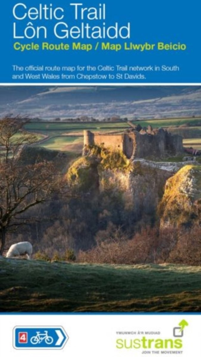
- Celtic Trail Cycle Route Map
- The official route map for the Celtic Trail network on National Route 4 in South and West Wales from Chepstow to St Davids.Follow traffic-free greenways, coastal paths, riverside trails and quiet country lanes as the Celtic Trail takes you through wonderfully scenic West Wales. Whether you are an experienced cyclist, a family with children or... Read more
- Also available from:
- Bol.com, Belgium
Bol.com
Belgium
Belgium
- Celtic Trail Cycle Route Map
- The official route map for the Celtic Trail network on National Route 4 in South and West Wales from Chepstow to St Davids.Follow traffic-free greenways, coastal paths, riverside trails and quiet country lanes as the Celtic Trail takes you through wonderfully scenic West Wales. Whether you are an experienced cyclist, a family with children or... Read more
Maps

Stanfords
United Kingdom
United Kingdom
- North Pembrokeshire OS Explorer Map OL35 (paper)
- The northern coast of Pembrokeshire between Cardigan and St Davids on a detailed topographic and GPS compatible map OL35, paper version, from the Ordnance Survey’s 1:25,000 Explorer series. Coverage includes Pembrokeshire Coast National Park, Goodwick, Fishguard, Llys-y-fran Reservoir, Ramsey Island, the Pembrokeshire Coast Path National Trail... Read more

Stanfords
United Kingdom
United Kingdom
- England Coast Path Adventure Map - Minehead to Brean Down
- The A-Z Adventure Series of maps combines the best of OS and A-Z, creating the perfect companion for walkers, off-road cyclists, horse riders and anyone wishing to explore the great outdoors.This official Minehead to Brean Down Adventure Map covers a 58 mile (93km) section of the England Coast Path, a new National Trail around England`s coast.... Read more
Bol.com
Netherlands
2013
Netherlands
2013
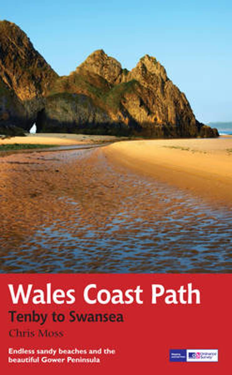
- Wales Coast Path
- 2012 saw the opening of the entire Welsh coastline as an official long-distance footpath. Now, to complement its existing National Trail Guide to the Pembrokeshire Coast Path, which makes up the section of the Path from Fishguard to just beyond Tenby, Aurum publishes a completely new guide to the other most scenic and popular stretch of the... Read more
- Also available from:
- Bol.com, Belgium
- De Zwerver, Netherlands
Bol.com
Belgium
2013
Belgium
2013
- Wales Coast Path
- 2012 saw the opening of the entire Welsh coastline as an official long-distance footpath. Now, to complement its existing National Trail Guide to the Pembrokeshire Coast Path, which makes up the section of the Path from Fishguard to just beyond Tenby, Aurum publishes a completely new guide to the other most scenic and popular stretch of the... Read more
De Zwerver
Netherlands
2013
Netherlands
2013
- Wandelgids Wales Coast Path: Tenby-Swansea | Aurum Press
- 2012 saw the opening of the entire Welsh coastline as an official long-distance footpath. Now, to complement its existing National Trail Guide to the Pembrokeshire Coast Path, which makes up the section of the Path from Fishguard to just beyond Tenby, Aurum publishes a completely new guide to the other most scenic and popular stretch of the... Read more
Stanfords
United Kingdom
2017
United Kingdom
2017
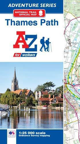
- Thames Path A-Z Adventure Atlas
- The A-Z Adventure series features the accuracy and quality of Ordnance Survey`s Explorer mapping in a convenient book, therefore eliminating the need to fold and re-fold a large sheet map to the desired area. OS Explorer is Ordnance Survey`s most detailed mapping at a scale of 1:25 000 showing public rights of way, open access land, national... Read more
- Also available from:
- Bol.com, Netherlands
- Bol.com, Belgium
Bol.com
Netherlands
2017
Netherlands
2017
- Thames Path Adventure Atlas
- The A-Z Adventure series features the accuracy and quality of Ordnance Survey`s Explorer mapping in a convenient book, therefore eliminating the need to fold and re-fold a large sheet map to the desired area. OS Explorer is Ordnance Survey`s most detailed mapping at a scale of 1:25 000 showing public rights of way, open access land, national... Read more
Bol.com
Belgium
2017
Belgium
2017
- Thames Path Adventure Atlas
- The A-Z Adventure series features the accuracy and quality of Ordnance Survey`s Explorer mapping in a convenient book, therefore eliminating the need to fold and re-fold a large sheet map to the desired area. OS Explorer is Ordnance Survey`s most detailed mapping at a scale of 1:25 000 showing public rights of way, open access land, national... Read more

Stanfords
United Kingdom
United Kingdom
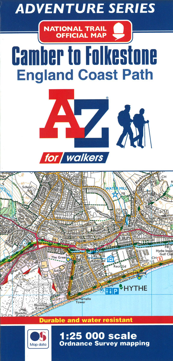
- England Coast Path - Camber to Folkestone Adventure Map
- The A-Z Adventure Series of maps combines the best of OS and A-Z, creating the perfect companion for walkers, off-road cyclists, horse riders and anyone wishing to explore the great outdoors.This official Camber to Folkestone Adventure Map section of the England Coast Path, a new National Trail around England`s coast. More than just a path, it... Read more
- Also available from:
- Bol.com, Netherlands
- Bol.com, Belgium
Bol.com
Netherlands
Netherlands
- England Coast Path Camber to Folkestone Adventure Map
- The A-Z Adventure Series of maps combines the best of OS and A-Z, creating the perfect companion for walkers, off-road cyclists, horse riders and anyone wishing to explore the great outdoors.This official Camber to Folkestone Adventure Map section of the England Coast Path, a new National Trail around England`s coast. More than just a path, it... Read more
Bol.com
Belgium
Belgium
- England Coast Path Camber to Folkestone Adventure Map
- The A-Z Adventure Series of maps combines the best of OS and A-Z, creating the perfect companion for walkers, off-road cyclists, horse riders and anyone wishing to explore the great outdoors.This official Camber to Folkestone Adventure Map section of the England Coast Path, a new National Trail around England`s coast. More than just a path, it... Read more
Bol.com
Netherlands
Netherlands
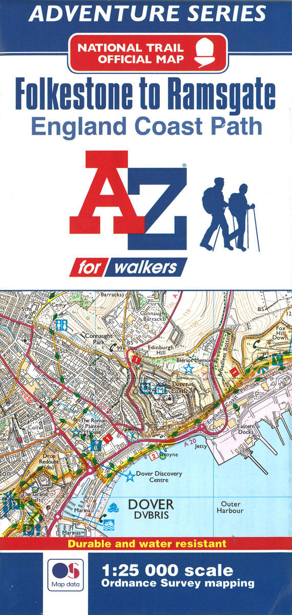
- England Coast Path Folkestone to Ramsgate Adventure Map
- The A-Z Adventure Series of maps combines the best of OS and A-Z, creating the perfect companion for walkers, off-road cyclists, horse riders and anyone wishing to explore the great outdoors.This official Folkestone to Ramsgate Adventure Map section of the England Coast Path, a new National Trail around England`s coast. More than just a path,... Read more
- Also available from:
- Bol.com, Belgium
Bol.com
Belgium
Belgium
- England Coast Path Folkestone to Ramsgate Adventure Map
- The A-Z Adventure Series of maps combines the best of OS and A-Z, creating the perfect companion for walkers, off-road cyclists, horse riders and anyone wishing to explore the great outdoors.This official Folkestone to Ramsgate Adventure Map section of the England Coast Path, a new National Trail around England`s coast. More than just a path,... Read more

Stanfords
United Kingdom
United Kingdom
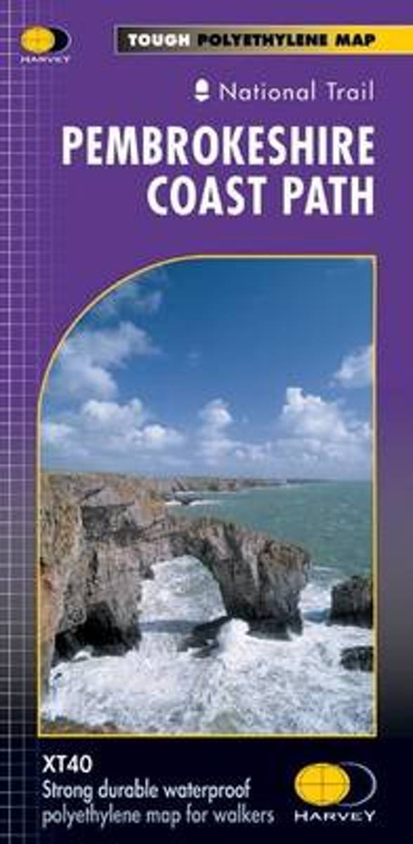
- Pembrokeshire Coast Path Harvey National Trail XT40
- Pembrokeshire Coast Path, a 265km / 165 mile section of the Wales Coast Path, presented at 1:40,000 on a light, waterproof and tear-resistant map from Harvey Map Services. The route is shown on nine panels.Maps in the Harvey’s series covering Great Britain’s national trails and other long-distance footpaths are printed on light, waterproof and... Read more
- Also available from:
- Bol.com, Netherlands
- Bol.com, Belgium
Bol.com
Netherlands
Netherlands
- Pembroke Coast Path XT40
- Pembrokeshire Coast Path, a 265km / 165 mile section of the Wales Coast Path, presented at 1:40,000 on a light, waterproof and tear-resistant map from Harvey Map Services. The route is shown on nine panels.Maps in the Harvey Read more
Bol.com
Belgium
Belgium
- Pembroke Coast Path XT40
- Pembrokeshire Coast Path, a 265km / 165 mile section of the Wales Coast Path, presented at 1:40,000 on a light, waterproof and tear-resistant map from Harvey Map Services. The route is shown on nine panels.Maps in the Harvey Read more