
Sussex
Description
Links
Facts
Reports
Guides and maps
Lodging
Organisations
Tour operators
GPS
Other
Books

Stanfords
United Kingdom
United Kingdom
- Haslemere & Petersfield - Midhurst & Selborne OS Explorer Active Map OL33 (waterproof)
- Haslemere and Petersfield area of Hampshire, Sussex and Surrey on a detailed topographic and GPS compatible map OL33, waterproof version, from the Ordnance Survey’s 1:25,000 Explorer series. Coverage extends from Alton and Witley southwards to Midhurst, and includes parts of the South Downs National Park and the Surrey Downs Area of Outstanding... Read more
- Also available from:
- The Book Depository, United Kingdom


Stanfords
United Kingdom
United Kingdom
- Chichester, South Harting & Selsey OS Explorer Map OL8 (paper)
- Chichester, South Harting and Selsey area of Sussex and Hampshire on a detailed topographic and GPS compatible map OL8, paper version, from the Ordnance Survey’s 1:25,000 Explorer series. Coverage along the coast extends from Pagham westwards across Selsey Bill and Hayling Island to Langstone Harbour, and includes part of the South Downs... Read more
- Also available from:
- The Book Depository, United Kingdom
- De Zwerver, Netherlands

De Zwerver
Netherlands
Netherlands

Stanfords
United Kingdom
United Kingdom
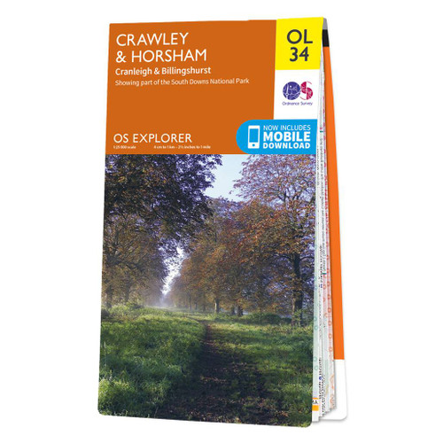
- Crawley & Horsham - Cranleigh & Billingshurst OS Explorer Active Map OL34 (waterproof)
- Crawley and Horsham area of Sussex and Surrey on a detailed topographic and GPS compatible map OL34, waterproof version, from the Ordnance Survey’s 1:25,000 Explorer series. Coverage extends from Cranleigh and Crawley in the north to Hickstead and Bedham, and includes Billinghurst, Nymans, part of the High Weald Area of Outstanding Natural... Read more
- Also available from:
- The Book Depository, United Kingdom


Stanfords
United Kingdom
United Kingdom
- Arundel & Pulborough - Worthing & Bognor Regis OS Explorer Map OL10 (paper)
- Arundel and Pulborough area of Sussex on a detailed topographic and GPS compatible map OL10, paper version, from the Ordnance Survey’s 1:25,000 Explorer series. Coverage along the coast extends from east of Worthing across Littlehampton to west of Bognor Regis and inland to Pulborough, and includes part of the South Downs National Park with a... Read more
- Also available from:
- The Book Depository, United Kingdom
- De Zwerver, Netherlands

De Zwerver
Netherlands
Netherlands

The Book Depository
United Kingdom
United Kingdom
- Walks for All Ages in West Sussex
- 20 Short Walks for All the Family Read more

Stanfords
United Kingdom
2021
United Kingdom
2021
- Eastbourne & Beachy Head - Newhaven, Seaford, Hailsham & Heathfield OS Explorer Map OL25 (paper)
- Eastbourne & Beachy Head area of Sussex on a detailed topographic and GPS compatible map OL25, paper version, from the Ordnance Survey’s 1:25,000 Explorer series. Coverage along the coast extends westwards from Pevensey and the Pevensey Levels to Newhaven, inland to Heathfield and Uckfield, and includes Birling Gap, the Seven Sisters coastline,... Read more
- Also available from:
- The Book Depository, United Kingdom
- De Zwerver, Netherlands


Stanfords
United Kingdom
2021
United Kingdom
2021
- Haslemere & Petersfield - Midhurst & Selborne OS Explorer Map OL33 (paper)
- Haslemere and Petersfield area of Hampshire, Sussex and Surrey on a detailed topographic and GPS compatible map OL33, paper version, from the Ordnance Survey’s 1:25,000 Explorer series. Coverage extends from Alton and Witley southwards to Midhurst, and includes parts of the South Downs National Park and the Surrey Downs Area of Outstanding... Read more
- Also available from:
- The Book Depository, United Kingdom
- De Zwerver, Netherlands

De Zwerver
Netherlands
2021
Netherlands
2021

Stanfords
United Kingdom
2018
United Kingdom
2018
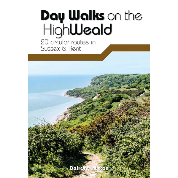
- Day Walks on the High Weald: 20 circular routes in Sussex & Kent
- Day Walks on the High Weald features 20 circular routes between 6.5 and 13.9 miles (10.5km and 22.4km) in length, spread across this Area of Outstanding Natural Beauty in the south-east of England. Local author Deirdre Huston has compiled her favourite walks in the region, which showcase the High Weald`s rich history and varied landscape. Walk... Read more
- Also available from:
- The Book Depository, United Kingdom
- De Zwerver, Netherlands

The Book Depository
United Kingdom
2018
United Kingdom
2018
- Day Walks on the High Weald
- 20 circular routes in Sussex & Kent Read more
De Zwerver
Netherlands
2018
Netherlands
2018
- Wandelgids Day Walks on the High Weald | Vertebrate Publishing
- 20 circular routes in Sussex & Kent Read more

Stanfords
United Kingdom
United Kingdom
- Trekking the South Downs Way: Two-way trekking guide
- The South Downs Way leads you on an unforgettable journey of discovery through the magnificent chalk hills of Sussex and Hampshire. It travels the length of the South Downs National Park across wonderful hills and meadows bedecked with wildflowers, through endless fields of shimmering golden corn and along the edge of the epic white cliffs of... Read more
- Also available from:
- The Book Depository, United Kingdom


Stanfords
United Kingdom
2015
United Kingdom
2015
- Crawley & Horsham - Cranleigh & Billingshurst OS Explorer Map OL34 (paper)
- Crawley and Horsham area of Sussex and Surrey on a detailed topographic and GPS compatible map OL34, paper version, from the Ordnance Survey’s 1:25,000 Explorer series. Coverage extends from Cranleigh and Crawley in the north to Hickstead and Bedham, and includes Billinghurst, Nymans, part of the High Weald Area of Outstanding Natural Beauty,... Read more
- Also available from:
- The Book Depository, United Kingdom
- De Zwerver, Netherlands

De Zwerver
Netherlands
2015
Netherlands
2015


The Book Depository
United Kingdom
United Kingdom
- Walks for All Ages in East Sussex
- 20 Short Walks for All the Family Read more
The Book Depository
United Kingdom
United Kingdom
- East Sussex Dog Friendly Pub Walks
- 20 Countryside Dog Walks & the Best Places to Stop Read more

Stanfords
United Kingdom
United Kingdom
- Chichester, South Harting and Selsey OS Explorer Active Map OL8 (waterproof)
- Chichester, South Harting and Selsey area of Sussex and Hampshire on a detailed topographic and GPS compatible map OL8, waterproof version, from the Ordnance Survey’s 1:25,000 Explorer series. Coverage along the coast extends from Pagham westwards across Selsey Bill and Hayling Island to Langstone Harbour, and includes part of the South Downs... Read more
- Also available from:
- The Book Depository, United Kingdom

Maps

Stanfords
United Kingdom
United Kingdom
- Kent & East Sussex Cycle Tours
- ”Kent and East Sussex” is one of 10 titles in the ”Cycle Tours” series. The series has now been in continuous print for more than 15 years and with regular route revisions and updating the successful formula has gathered a large following.Each book in the series contains 20 routes all of which are either totally new or have been re-ridden and... Read more

Stanfords
United Kingdom
United Kingdom
- Surrey & West Sussex Cycle Tours
- ”Surrey and West Sussex” is one of 10 titles in the updated ”Cycle Tours” series. The series has now been in continuous print for more than 15 years and with regular route revisions and updating the successful formula has gathered a large following. Each book in the series contains 20 routes all of which are either totally new or have been... Read more