Dava Way
Description
- Name Dava Way
Select some tracks
☐Dava Way, 38km
Links
Facts
Reports
Guides and maps
Lodging
Organisations
Tour operators
GPS
Other
Books
- Also available from:
- De Zwerver, Netherlands

De Zwerver
Netherlands
2021
Netherlands
2021
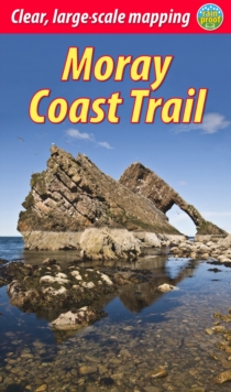
- Wandelgids Moray Coast Trail | Rucksack Readers
- with Dava and Moray Ways Read more

The Book Depository
United Kingdom
United Kingdom
- The Moray Way Companion
- A Comprehensive Guide to The Dava Way, The Moray Coast Trail and the Speyside Way Read more

Stanfords
United Kingdom
2015
United Kingdom
2015
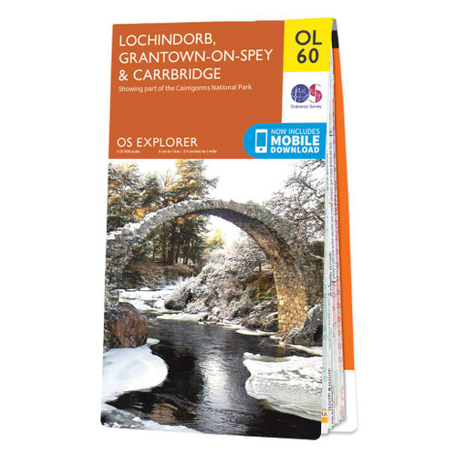
- Lochindorb, Grantown-on-Spey & Carrbridge OS Explorer Map OL60 (paper)
- Lochindorb, Grantown-on-Spey and Carrbridge area of the Scottish Highlands on a detailed topographic and GPS compatible map OL60, paper version, from the Ordnance Survey’s 1:25,000 Explorer series. Coverage includes part of the Cairngorms National Park, Strathdearn, sections of the Speyside Way and the Dava Way, etc.MOBILE DOWNLOADS: this title... Read more
- Also available from:
- The Book Depository, United Kingdom
- De Zwerver, Netherlands
» Click to close

Stanfords
United Kingdom
2021
United Kingdom
2021
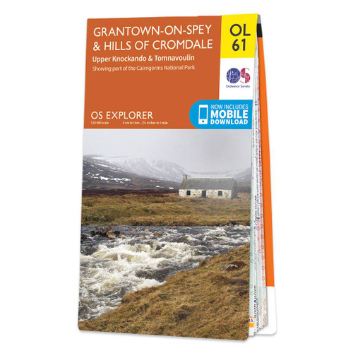
- Grantown-on-Spey & Hills of Cromdale - Upper Knockando & Tomnavoulin OS Explorer Map OL61 (paper)
- Grantown-on-Spey and the Hills of Cromdale area of the Scottish Highlands on a detailed topographic and GPS compatible map OL61, paper version, from the Ordnance Survey’s 1:25,000 Explorer series. Coverage includes part of the Cairngorms National Park, Bridge of Avon, Upper Knockando, Tomnavoulin, sections of the Speyside Way and the Dava Way,... Read more
- Also available from:
- The Book Depository, United Kingdom
- De Zwerver, Netherlands

Stanfords
United Kingdom
United Kingdom
- Lochindorb, Grantown-on-Spey & Carrbridge OS Explorer Active Map OL60 (waterproof)
- Lochindorb, Grantown-on-Spey and Carrbridge area of the Scottish Highlands on a detailed topographic and GPS compatible map OL60, waterproof version, from the Ordnance Survey’s 1:25,000 Explorer series. Coverage includes part of the Cairngorms National Park, Strathdearn, sections of the Speyside Way and the Dava Way, etc.MOBILE DOWNLOADS: this... Read more
- Also available from:
- The Book Depository, United Kingdom

Stanfords
United Kingdom
United Kingdom
- Grantown-on-Spey & Hills of Cromdale - Upper Knockando & Tomnavoulin OS Explorer Active Map OL61 (waterproof)
- Grantown-on-Spey and the Hills of Cromdale area of the Scottish Highlands on a detailed topographic and GPS compatible map OL61, waterproof version, from the Ordnance Survey’s 1:25,000 Explorer series. Coverage includes part of the Cairngorms National Park, Bridge of Avon, Upper Knockando, Tomnavoulin, sections of the Speyside Way and the Dava... Read more
- Also available from:
- The Book Depository, United Kingdom
» Click to close

Stanfords
United Kingdom
2016
United Kingdom
2016
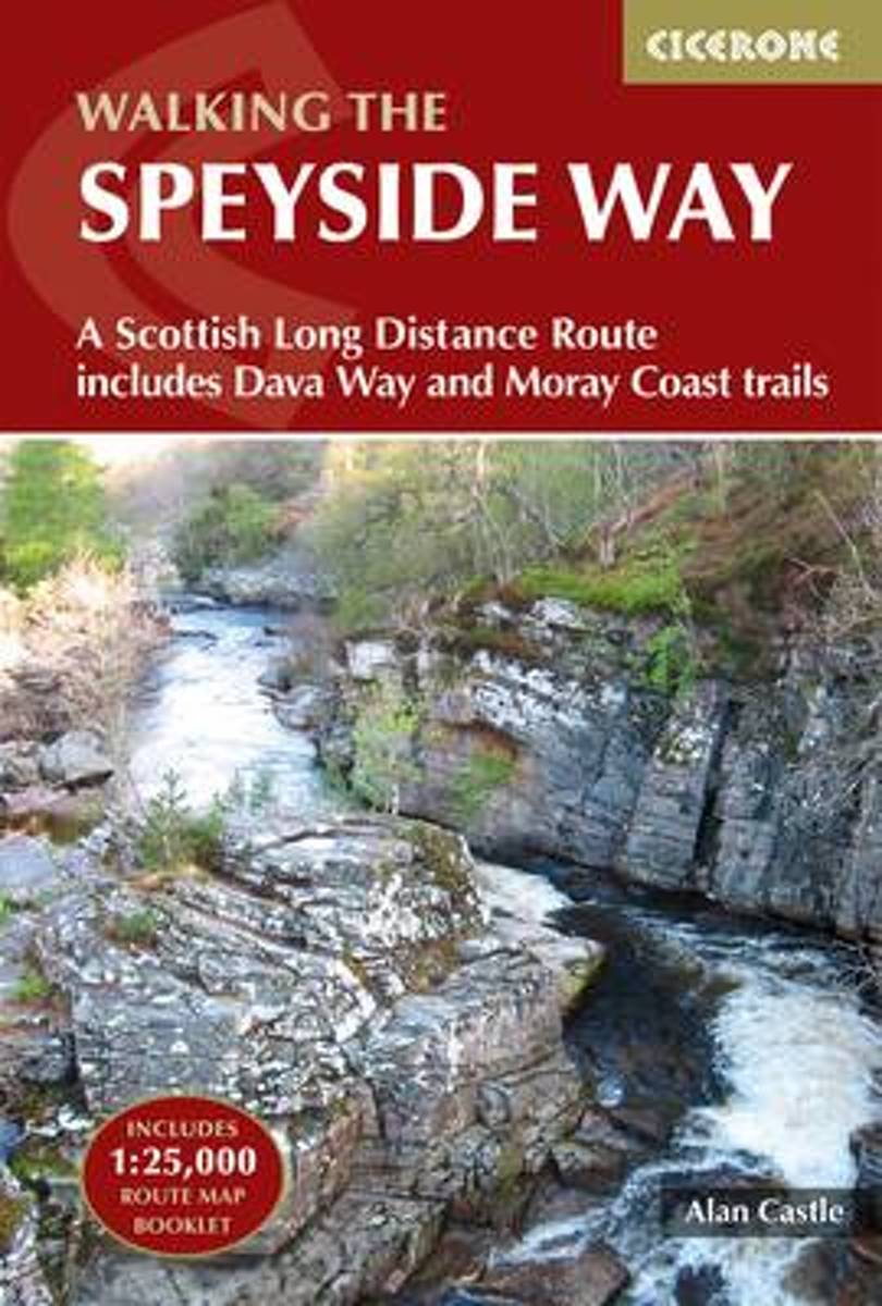
- The Speyside Way: A Scottish Long Distance Route, Includes the Dava Way and Moray Coast Trails
- This guidebook describes the Speyside Way, an official 66 mile (106km) Scottish Long Distance Route which follows the River Spey through northern Scotland from Aviemore to the old port of Buckie on the Moray coast. Featuring easy walking on good paths and along disused railway lines, the route can be comfortably completed in a week and is... Read more
- Also available from:
- Bol.com, Netherlands
- Bol.com, Belgium

Bol.com
Netherlands
2016
Netherlands
2016
- The Speyside Way
- This guidebook describes the Speyside Way, an official 66 mile (106km) Scottish Great Trail route which follows the River Spey through northern Scotland from Aviemore to the old port of Buckie on the Moray coast. Featuring easy walking on good paths and along disused railway lines, the route can be comfortably completed in a week and is... Read more

Bol.com
Belgium
2016
Belgium
2016
- The Speyside Way
- This guidebook describes the Speyside Way, an official 66 mile (106km) Scottish Great Trail route which follows the River Spey through northern Scotland from Aviemore to the old port of Buckie on the Moray coast. Featuring easy walking on good paths and along disused railway lines, the route can be comfortably completed in a week and is... Read more


