
Cowal Way
Description
- Name Cowal Way
- Length of trail 76 km, 47 miles
- Length in days 4 days
- Start of trail Portavadie
- End of trail Ardgartan
- Traildino grading EW, Easy walk, nature trail
Cowal Way, Portavadie to Ardgartan, 75 km, 47 miles
This trail is located on the Cowal Peninsula, Western Scottish highlands.
Select some tracks
☐Loch Lomond and Cowal Way, 91km
Links
Facts
Reports
Guides and maps
Lodging
Organisations
Tour operators
GPS
Other
Books


Stanfords
United Kingdom
2015
United Kingdom
2015
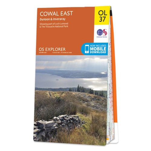
- Cowal East - Dunoon & Inveraray OS Explorer Map OL37 (paper)
- Cowal East area of central Scotland on a detailed topographic and GPS compatible map OL37, paper version, from the Ordnance Survey’s 1:25,000 Explorer series. Coverage includes a section of the Loch Lomond and The Trossachs National Park with parts of the Queen Elizabeth Forest Park and the Argyll Forest Park, Dunoon, Inveraray, Loch Long, Loch... Read more
- Also available from:
- The Book Depository, United Kingdom
- De Zwerver, Netherlands

De Zwerver
Netherlands
2015
Netherlands
2015

Stanfords
United Kingdom
United Kingdom
- Cowal East - Dunoon & Inveraray OS Explorer Active Map OL37 (waterproof)
- Cowal East area of central Scotland on a detailed topographic and GPS compatible map OL37, waterproof version, from the Ordnance Survey’s 1:25,000 Explorer series. Coverage includes a section of the Loch Lomond and The Trossachs National Park with parts of the Queen Elizabeth Forest Park and the Argyll Forest Park, Dunoon, Inveraray, Loch Long,... Read more
- Also available from:
- The Book Depository, United Kingdom

Bol.com
Netherlands
2016
Netherlands
2016
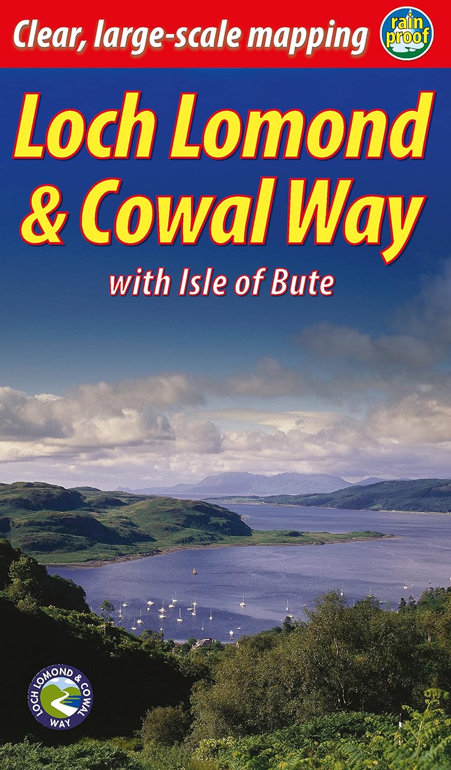
- Cowal Way
- The Cowal Way is a waymarked trail running for 57 miles (92 km) across the rugged Cowal peninsula, an unspoiled area of the Highlands just west of Glasgow. It is best walked from Portavadie on Loch Fyne to finish at Inveruglas on Loch Lomond. The Way has some rugged scenery, the walk is easily broken into manageable sections, and it offers... Read more
- Also available from:
- Bol.com, Belgium
Bol.com
Belgium
2016
Belgium
2016
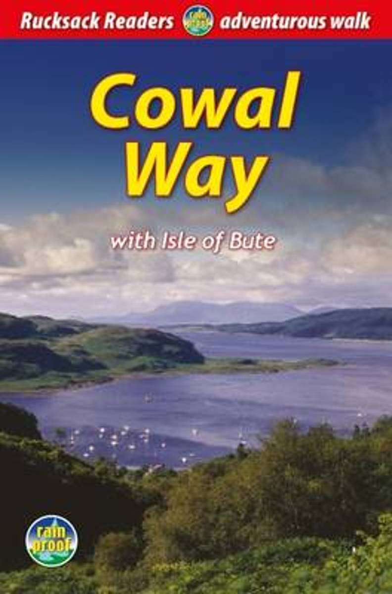
- Cowal Way
- The Cowal Way is a waymarked trail running for 57 miles (92 km) across the rugged Cowal peninsula, an unspoiled area of the Highlands just west of Glasgow. It is best walked from Portavadie on Loch Fyne to finish at Inveruglas on Loch Lomond. The Way has some rugged scenery, the walk is easily broken into manageable sections, and it offers... Read more