Great Glen Way
Description
- Name Great Glen Way
- Length of trail 114 km, 71 miles
- Length in days 6 days
- Traildino grading EW, Easy walk, nature trail
71 miles, 114 km, 6 days
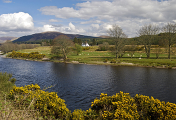
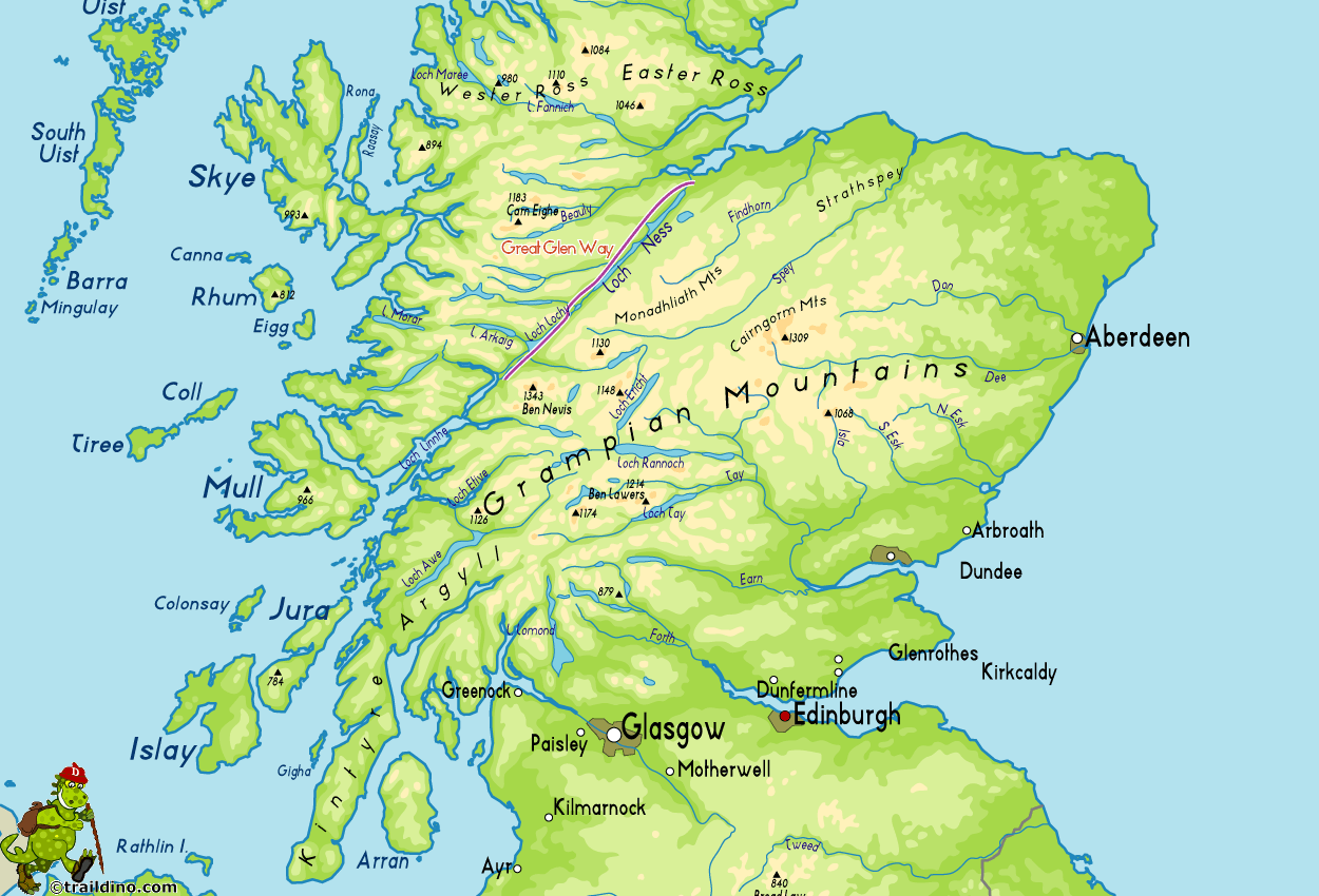
Loch Ness and its historic surroundings attract many people. This very popular and easy walk holds the promise of seeing some terrifying prehistoric monster .. Traildino? You might see Ben Nevis. You'll climb some hills and walk flat on towpaths. If you are in despair, buy a map and free yourself from the masses by venturing into the empty hills. Weather permitting.
Map
Links
Facts
Reports
Guides and maps
Lodging
Organisations
Tour operators
GPS
Other
Books

Stanfords
United Kingdom
2021
United Kingdom
2021
- Great Glen Way (Trailblazer British Walking Guide): 38 Large-Scale Maps & Guides to 18 Towns and Villages - Planning, Places to Stay, Places to Eat - Fort William to Inverness
- All-in-one, practical guide to walking the Great Glen Way long-distance footpath. The trail begins where the West Highland Way ends - at Fort William - and follows the Great Glen faultline to finish at Inverness after 79 miles (127km). The trail passes Loch Lochy, Loch Oich and Loch Ness and also follows the towpath of the Caledonian Canal.... Read more
- Also available from:
- The Book Depository, United Kingdom
- De Zwerver, Netherlands

The Book Depository
United Kingdom
2021
United Kingdom
2021
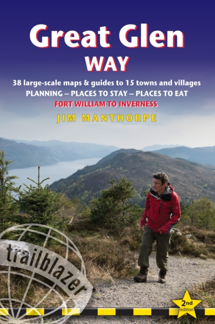
- Great Glen Way (Trailblazer British Walking Guides)
- 38 Large-Scale Maps & Guides to 18 Towns and Villages - Planning, Places to Stay, Places to Eat - Fort William to Inverness Read more
De Zwerver
Netherlands
2021
Netherlands
2021
- Wandelgids Great Glen Way | Trailblazer Guides
- All-in-one, practical guide to walking the Great Glen Way long-distance footpath. The trail begins where the West Highland Way ends - at Fort William - and follows the Great Glen faultline to finish at Inverness after 79 miles (127km). The trail passes Loch Lochy, Loch Oich and Loch Ness and also follows the towpath of the Caledonian Canal.... Read more
- Also available from:
- De Zwerver, Netherlands

Stanfords
United Kingdom
2016
United Kingdom
2016
- Great Glen Way Cicerone Map Booklet
- The Great Glen Way between Fort William and Inverness along Loch Lochy and Loch Lomond on mapping at 1:25,000 from the Ordnance Survey’s Explorer series in a pocket-size booklet from Cicerone Press. The 124km / 79-mile trail is presented with a route profile, plus summaries for each section showing GPS coordinates for the start and finish,... Read more
- Also available from:
- The Book Depository, United Kingdom

The Book Depository
United Kingdom
2016
United Kingdom
2016
- The Great Glen Way Map Booklet
- 1:25,000 OS Route Mapping Read more

Stanfords
United Kingdom
2017
United Kingdom
2017
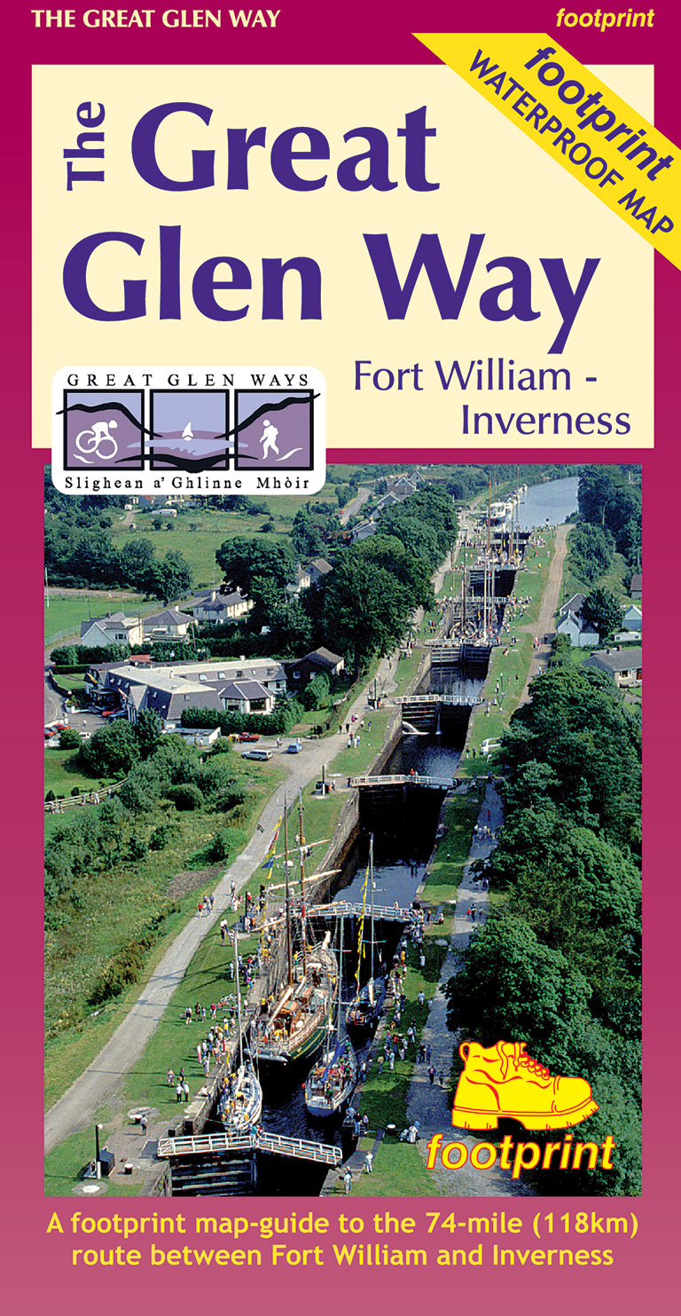
- The Great Glen Way Map-Guide
- A Footprint map-guide to the 95 mile (153km) route between Milngavie & Fort William. A 1:40,000 scale map based on OS data, printed on waterproof paper with compact and concise information for walkers. Read more
- Also available from:
- The Book Depository, United Kingdom
- De Zwerver, Netherlands
De Zwerver
Netherlands
2017
Netherlands
2017
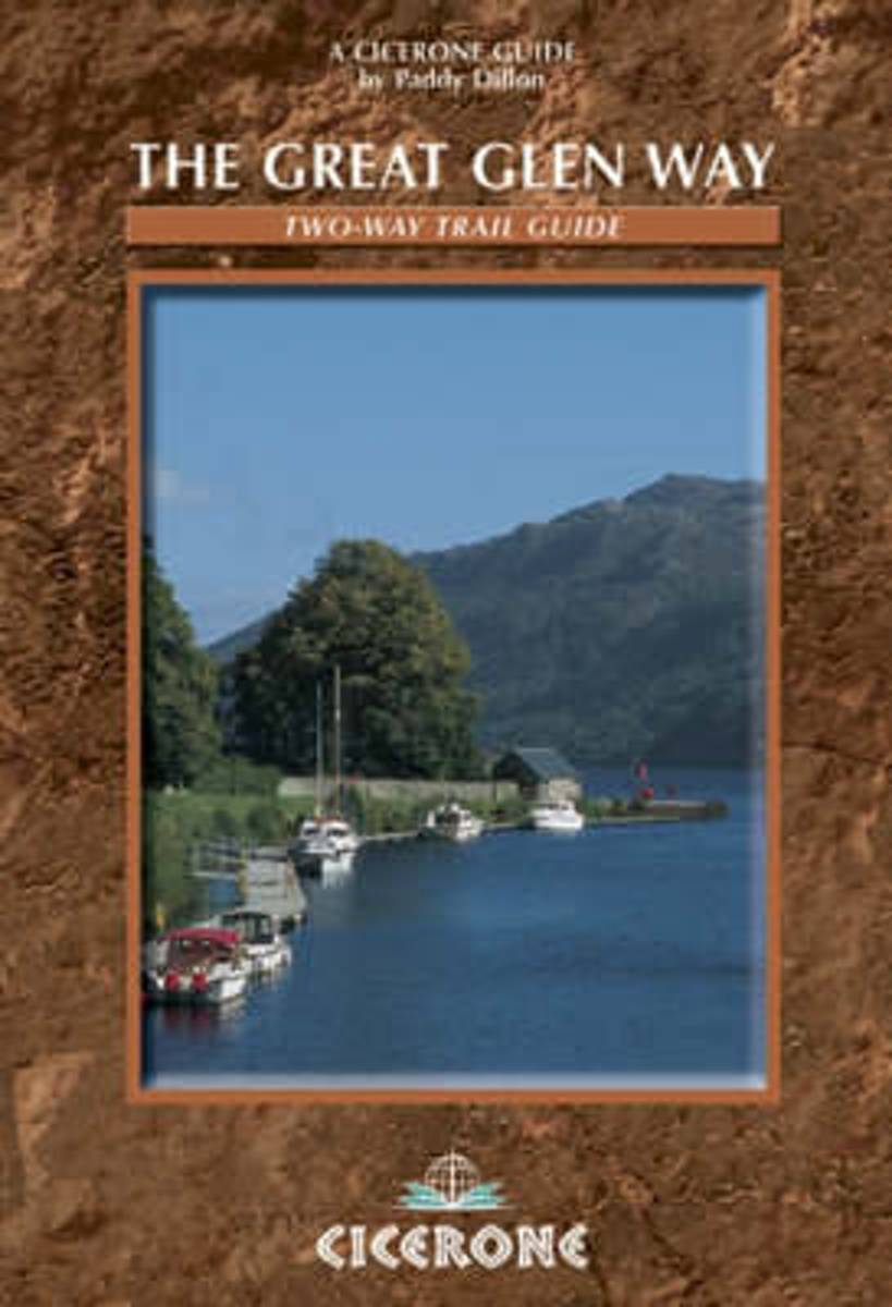
- Wandelkaart The Great Glen Way | Footprint maps
- Waterproof Map-Guide Read more
Bol.com
Netherlands
2014
Netherlands
2014
- The Great Glen Way
- Guidebook to walking the Great Glen Way, a 117km (73 mile) National Trail that runs along the Great Glen between Fort William and Inverness. The route is described in either direction, and most walkers will aim to complete the route in five or six days. The Great Glen Way stretches alongside the Caledonian Canal, passing several lochs,... Read more
- Also available from:
- Bol.com, Belgium

Bol.com
Belgium
2014
Belgium
2014
- The Great Glen Way
- Guidebook to walking the Great Glen Way, a 117km (73 mile) National Trail that runs along the Great Glen between Fort William and Inverness. The route is described in either direction, and most walkers will aim to complete the route in five or six days. The Great Glen Way stretches alongside the Caledonian Canal, passing several lochs,... Read more
Bol.com
Netherlands
2010
Netherlands
2010
- The Big Walks of the North
- From the Great Glen Way to the Coast to Coast Path, there is no better way to discover the spectacular diversity of northern Britain's landscape than on foot. Whether you enjoy exploring green and gently rolling dales or tackling rugged mountain paths, there are walks here to keep you rambling all year round.An indefatigable walker, David... Read more
- Also available from:
- Bol.com, Belgium

Bol.com
Belgium
2010
Belgium
2010
- The Big Walks of the North
- From the Great Glen Way to the Coast to Coast Path, there is no better way to discover the spectacular diversity of northern Britain's landscape than on foot. Whether you enjoy exploring green and gently rolling dales or tackling rugged mountain paths, there are walks here to keep you rambling all year round.An indefatigable walker, David... Read more

The Book Depository
United Kingdom
2016
United Kingdom
2016
- The Great Glen Way
- Fort William to Inverness Two-way trail guide Read more
- Also available from:
- Bol.com, Netherlands
- Bol.com, Belgium
- De Zwerver, Netherlands
Bol.com
Netherlands
2016
Netherlands
2016
- The Great Glen Way
- Guidebook to walking the Great Glen Way, one of Scotland's Great Trails that runs along the Great Glen between Fort William and Inverness. The guidebook - which includes both a guide to the route and a separate OS map booklet - describes the route in both directions. Ideal as an introduction to long-distance walking, the 79-mile Great Glen Way... Read more

Bol.com
Belgium
2016
Belgium
2016
- The Great Glen Way
- Guidebook to walking the Great Glen Way, one of Scotland's Great Trails that runs along the Great Glen between Fort William and Inverness. The guidebook - which includes both a guide to the route and a separate OS map booklet - describes the route in both directions. Ideal as an introduction to long-distance walking, the 79-mile Great Glen Way... Read more
De Zwerver
Netherlands
2016
Netherlands
2016
- Wandelgids The Great Glen Way | Cicerone
- Guidebook to walking the Great Glen Way, a 79-mile National Trail along the Caledonia Canal from Fort William to Inverness. Easily walked within a week in all seasons, the Great Glen Way is an ideal introduction to long-distance walking in Scotland. The route is described in both directions, and a separate OS 1:25K mapping booklet is included. Read more
Bol.com
Netherlands
Netherlands
- Reise Know-How Wanderführer Die schottischen Highlands
- Inhalt Dieser Wanderführer erschließt auf ausgewählten Routen die Naturschönheiten der schottischen Highlands mitsamt der Insel Skye. Die schottischen Highlands gehören zu den attraktivsten Wandergebieten Europas: Sanfte Buchten und grüne Hügel an der Westküste bei Oban; großartige Bergpanoramen am Ben Nevis (1344 m), dem höchsten Berg... Read more
- Also available from:
- Bol.com, Belgium

Bol.com
Belgium
Belgium
- Reise Know-How Wanderführer Die schottischen Highlands
- Inhalt Dieser Wanderführer erschließt auf ausgewählten Routen die Naturschönheiten der schottischen Highlands mitsamt der Insel Skye. Die schottischen Highlands gehören zu den attraktivsten Wandergebieten Europas: Sanfte Buchten und grüne Hügel an der Westküste bei Oban; großartige Bergpanoramen am Ben Nevis (1344 m), dem höchsten Berg... Read more
Bol.com
Netherlands
Netherlands
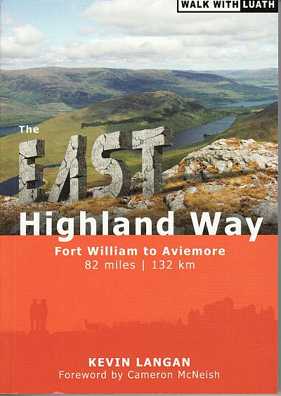
- The East Highland Way
- The East Highland Way is a detailed and descriptive guide to the route developed by Kevin Langan in 2007. Beginning in Fort William and culminating in Aviemore, the trail forms a new link route between the northern end of the West Highland Way and the southern end of the Speyside Way. In addition, the route joins with the Great Glen Way at its... Read more
- Also available from:
- Bol.com, Belgium
- De Zwerver, Netherlands

Bol.com
Belgium
Belgium
- The East Highland Way
- The East Highland Way is a detailed and descriptive guide to the route developed by Kevin Langan in 2007. Beginning in Fort William and culminating in Aviemore, the trail forms a new link route between the northern end of the West Highland Way and the southern end of the Speyside Way. In addition, the route joins with the Great Glen Way at its... Read more
De Zwerver
Netherlands
Netherlands
- Wandelgids The East Highland Way | Luath Press
- The East Highland Way is a detailed and descriptive guide to the route developed by Kevin Langan in 2007. Beginning in Fort William and culminating in Aviemore, the trail forms a new link route between the northern end of the West Highland Way and the southern end of the Speyside Way. In addition, the route joins with the Great Glen Way at its... Read more
Maps

Stanfords
United Kingdom
United Kingdom
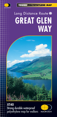
- Great Glen Way Harvey National Trail XT40
- Great Glen Way, a 126km/79 miles trail from Fort William along Loch Ness to Inverness, presented at 1:40,000 on a light, waterproof and tear-resistant map from Harvey Map Services. The whole route is covered on four overlapping panels, and includes street plans of Fort William (showing the start/end of the West Highland Way) and Inverness. Map... Read more
- Also available from:
- The Book Depository, United Kingdom
- De Zwerver, Netherlands

The Book Depository
United Kingdom
United Kingdom
- Great Glen Way
- Great Glen Way, a 126km/79 miles trail from Fort William along Loch Ness to Inverness, presented at 1:40,000 on a light, waterproof and tear-resistant map from Harvey Map Services. The whole route is covered on four overlapping panels, and includes street plans of Fort William (showing the start/end of the West Highland Way) and Inverness. Map... Read more
De Zwerver
Netherlands
Netherlands
- Wandelkaart Great Glen Way | Harvey Maps
- Great Glen Way, a 126km/79 miles trail from Fort William along Loch Ness to Inverness, presented at 1:40,000 on a light, waterproof and tear-resistant map from Harvey Map Services. The whole route is covered on four overlapping panels, and includes street plans of Fort William (showing the start/end of the West Highland Way) and Inverness. Map... Read more

Stanfords
United Kingdom
2013
United Kingdom
2013
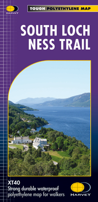
- South Loch Ness Trail Harvey National Trail XT40
- The South Loch Ness Trail, a 45km / 28 mile long hiking route from Loch Tarff near Fort Augustus on the southern tip of Loch Ness to Torbreck on the outskirts of Inverness at 1:40,000 on GPS compatible, light, waterproof and tear-resistant map from Harvey Map Services. The map also highlights the course of the Trail of the 7 Lochs, an 80km / 50... Read more
- Also available from:
- The Book Depository, United Kingdom
- De Zwerver, Netherlands

The Book Depository
United Kingdom
2013
United Kingdom
2013
- South Loch Ness Trail
- The South Loch Ness Trail, a 45km / 28 mile long hiking route from Loch Tarff near Fort Augustus on the southern tip of Loch Ness to Torbreck on the outskirts of Inverness at 1:40,000 on GPS compatible, light, waterproof and tear-resistant map from Harvey Map Services. The map also highlights the course of the Trail of the 7 Lochs, an 80km / 50... Read more
De Zwerver
Netherlands
2013
Netherlands
2013
- Wandelkaart South Loch Ness Trail | Harvey Maps
- The South Loch Ness Trail, a 45km / 28 mile long hiking route from Loch Tarff near Fort Augustus on the southern tip of Loch Ness to Torbreck on the outskirts of Inverness at 1:40,000 on GPS compatible, light, waterproof and tear-resistant map from Harvey Map Services. The map also highlights the course of the Trail of the 7 Lochs, an 80km / 50... Read more

Stanfords
United Kingdom
2018
United Kingdom
2018
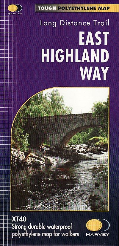
- East Highland Way Harvey National Trail XT40
- East Highland Way, a 132km / 82 miles trail on a light, waterproof and tear-resistant map at 1:40,000 from Harvey Map Services presenting the route accompanied by extensive additional tourist information. The route links Fort Williams, the northern point of the West Highland Way and the southern point of the Great Glen Way, with Aviemore, the... Read more
- Also available from:
- The Book Depository, United Kingdom
- De Zwerver, Netherlands

The Book Depository
United Kingdom
2018
United Kingdom
2018
- East Highland Way
- East Highland Way, a 132km / 82 miles trail on a light, waterproof and tear-resistant map at 1:40,000 from Harvey Map Services presenting the route accompanied by extensive additional tourist information. The route links Fort Williams, the northern point of the West Highland Way and the southern point of the Great Glen Way, with Aviemore, the... Read more
De Zwerver
Netherlands
2018
Netherlands
2018
- Wandelkaart East Highland Way | Harvey Maps
- East Highland Way, a 132km / 82 miles trail on a light, waterproof and tear-resistant map at 1:40,000 from Harvey Map Services presenting the route accompanied by extensive additional tourist information. The route links Fort Williams, the northern point of the West Highland Way and the southern point of the Great Glen Way, with Aviemore, the... Read more

Stanfords
United Kingdom
2014
United Kingdom
2014
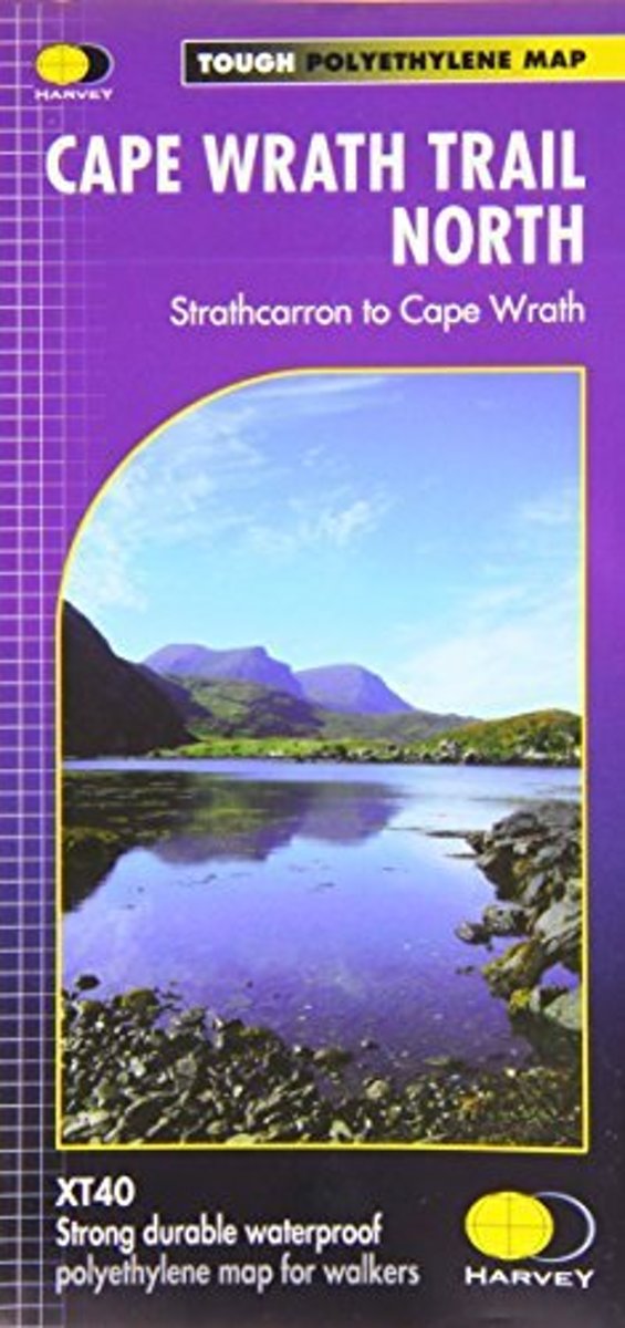
- Cape Wrath Trail North - Strathcarron to Cape Wrath Harvey National Trail XT40
- The northern section of the Cape Wrath Trail, from Strathcarron via Ullapool to Cape Wrath - the most north-westerly point in the mainland United Kingdom, presented at 1:40,000 on a light, waterproof and tear-resistant map from Harvey Map Services. The map covers this section of the trail on 12 overlapping panels. The whole Cape Wrath Trail is... Read more
- Also available from:
- The Book Depository, United Kingdom
- Bol.com, Netherlands
- Bol.com, Belgium
- De Zwerver, Netherlands
Bol.com
Netherlands
2014
Netherlands
2014
- Cape Wrath Trail North XT40
- The northern section of the Cape Wrath Trail, from Strathcarron via Ullapool to Cape Wrath - the most north-westerly point in the mainland United Kingdom, presented at 1:40,000 on a light, waterproof and tear-resistant map from Harvey Map Services. The map covers this section of the trail on 12 overlapping panels. The whole Cape Wrath Trail is... Read more

Bol.com
Belgium
2014
Belgium
2014
- Cape Wrath Trail North XT40
- The northern section of the Cape Wrath Trail, from Strathcarron via Ullapool to Cape Wrath - the most north-westerly point in the mainland United Kingdom, presented at 1:40,000 on a light, waterproof and tear-resistant map from Harvey Map Services. The map covers this section of the trail on 12 overlapping panels. The whole Cape Wrath Trail is... Read more
De Zwerver
Netherlands
2014
Netherlands
2014
- Wandelkaart Cape Wrath Trail North | Harvey Maps
- The northern section of the Cape Wrath Trail, from Strathcarron via Ullapool to Cape Wrath - the most north-westerly point in the mainland United Kingdom, presented at 1:40,000 on a light, waterproof and tear-resistant map from Harvey Map Services. The map covers this section of the trail on 12 overlapping panels. The whole Cape Wrath Trail is... Read more

Stanfords
United Kingdom
2014
United Kingdom
2014
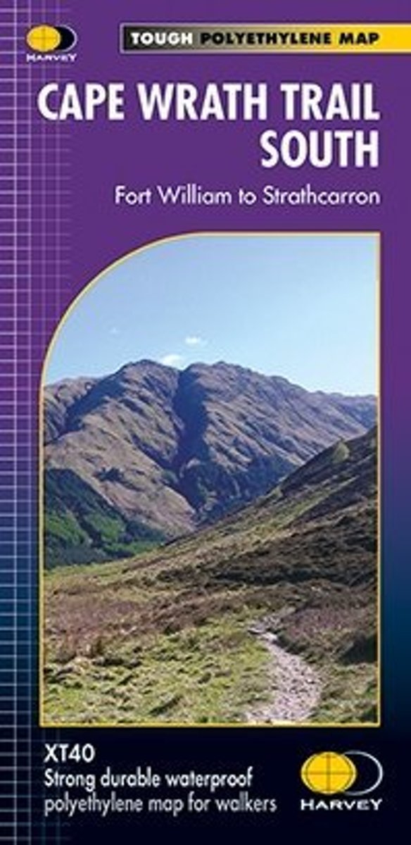
- Cape Wrath Trail South - Fort William to Strathcarron Harvey National Trail XT40
- The southern section of the Cape Wrath Trail, from Fort William to Strathcarron presented at 1:40,000 on a light, waterproof and tear-resistant map from Harvey Map Services. The map covers this section of the trail on eight panels, showing both the western variant via Inverie and Shiel Bridge, and inland route along Loch Lochy and Invegarry.... Read more
- Also available from:
- The Book Depository, United Kingdom
- Bol.com, Netherlands
- Bol.com, Belgium
- De Zwerver, Netherlands
Bol.com
Netherlands
2014
Netherlands
2014
- Cape Wrath Trail South XT40
- Cape Wrath Trail is a challenging route from Fort William to Cape Wrath. It is around 200 miles long and passes through some of Scotland's wildest and most spectacular scenery. The trail has evolved from use and is not an officially recognised National Trail. There is no single definitive route. There are various ways of tackling the traverse... Read more

Bol.com
Belgium
2014
Belgium
2014
- Cape Wrath Trail South XT40
- Cape Wrath Trail is a challenging route from Fort William to Cape Wrath. It is around 200 miles long and passes through some of Scotland's wildest and most spectacular scenery. The trail has evolved from use and is not an officially recognised National Trail. There is no single definitive route. There are various ways of tackling the traverse... Read more
De Zwerver
Netherlands
2014
Netherlands
2014
- Wandelkaart Cape Wrath Trail South | Harvey Maps
- The southern section of the Cape Wrath Trail, from Fort William to Strathcarron presented at 1:40,000 on a light, waterproof and tear-resistant map from Harvey Map Services. The map covers this section of the trail on eight panels, showing both the western variant via Inverie and Shiel Bridge, and inland route along Loch Lochy and Invegarry.... Read more
Bol.com
Netherlands
2014
Netherlands
2014
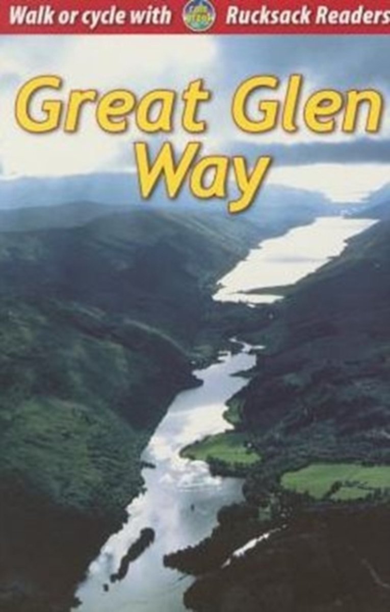
- Great Glen Way
- This guidebook (fully updated 2014) contains all you need to plan and enjoy a holiday walking or cycling along Scotland's historic Great Glen (77 miles/125 km). The Way runs between Fort William and Inverness, beside Scotland's highest mountain, along the historic Caledonian Canal and past beautiful lochs, including Loch Ness with its famous... Read more
- Also available from:
- Bol.com, Belgium

Bol.com
Belgium
2014
Belgium
2014
- Great Glen Way
- This guidebook (fully updated 2014) contains all you need to plan and enjoy a holiday walking or cycling along Scotland's historic Great Glen (77 miles/125 km). The Way runs between Fort William and Inverness, beside Scotland's highest mountain, along the historic Caledonian Canal and past beautiful lochs, including Loch Ness with its famous... Read more


