Northumberland Coast Path
Description
- Name Northumberland Coast Path
- Length of trail 103 km, 64 miles
- Length in days 55 days
- Start of trail Cresswell
- End of trail Berwick-upon-Tweed
- Traildino grading EW, Easy walk, nature trail
Cresswell - Berwick-upon-Tweed, 64 miles, 103 km, 5 days
This coastal route is part of the North Sea Trail.
Select some tracks
☐Northumberland Coast Path, 105km
Links
Facts
Reports
Guides and maps
Lodging
Organisations
Tour operators
GPS
Other
Books
- Also available from:
- Bol.com, Netherlands
- Bol.com, Belgium

Bol.com
Netherlands
2016
Netherlands
2016
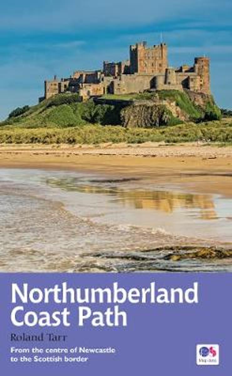
- Northumberland Coast Path
- The Northumberland coastline stretches from the outskirts of Newcastle up to the Scottish border at Berwick-upon-Tweed - a popular holiday destination for its wild and sweeping landscape of endless beaches of pale sand, succession of spectacular castles like Bamburgh and Dunstanburgh, congenial resorts like Alnmouth, and unique offshore... Read more

Bol.com
Belgium
2016
Belgium
2016
- Northumberland Coast Path
- The Northumberland coastline stretches from the outskirts of Newcastle up to the Scottish border at Berwick-upon-Tweed - a popular holiday destination for its wild and sweeping landscape of endless beaches of pale sand, succession of spectacular castles like Bamburgh and Dunstanburgh, congenial resorts like Alnmouth, and unique offshore... Read more

The Book Depository
United Kingdom
2016
United Kingdom
2016
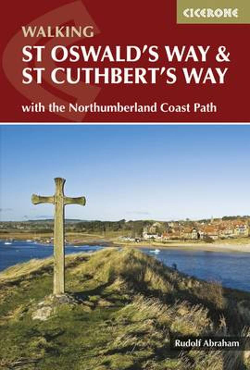
- St Oswald's Way and St Cuthbert's Way
- With the Northumberland Coast Path Read more
- Also available from:
- Bol.com, Netherlands
- Bol.com, Belgium

Bol.com
Netherlands
2016
Netherlands
2016
- St Oswald's Way and St Cuthbert's Way
- This guide describes two long-distance trails through the unspoilt scenery of Northumberland and the Borders. St Oswald's Way begins at Heavenfield and its 97 miles take in rolling farmland and the Simonside Hills before reaching the vast sandy beaches of the coast. The 62 mile St Cuthbert's Way begins at Melrose and crosses the rugged crags... Read more

Bol.com
Belgium
2016
Belgium
2016
- St Oswald's Way and St Cuthbert's Way
- This guide describes two long-distance trails through the unspoilt scenery of Northumberland and the Borders. St Oswald's Way begins at Heavenfield and its 97 miles take in rolling farmland and the Simonside Hills before reaching the vast sandy beaches of the coast. The 62 mile St Cuthbert's Way begins at Melrose and crosses the rugged crags... Read more
Maps

Stanfords
United Kingdom
United Kingdom
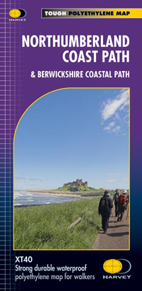
- Northumberland Coast Path & Berwickshire Coastal Path Harvey National Trail XT40
- Northumberland Coast Path and its continuation northwards into Scotland, the Berwickshire Coastal Path, a combined a 148km / 92 mile route from Cresswell to Berwick-upon-Tweed and further along the North Sea coast to Cockburnspath, presented at 1:40,000 on a GPS compatible, light, waterproof and tear-resistant map from Harvey Map Services. The... Read more
- Also available from:
- The Book Depository, United Kingdom
- Bol.com, Netherlands
- Bol.com, Belgium

Bol.com
Netherlands
Netherlands
- Northumberland Coast Path
- Northumberland Coast Path and its continuation northwards into Scotland, the Berwickshire Coastal Path, a combined a 148km / 92 mile route from Cresswell to Berwick-upon-Tweed and further along the North Sea coast to Cockburnspath, presented at 1:40,000 on a GPS compatible, light, waterproof and tear-resistant map from Harvey Map Services. The... Read more

Bol.com
Belgium
Belgium
- Northumberland Coast Path
- Northumberland Coast Path and its continuation northwards into Scotland, the Berwickshire Coastal Path, a combined a 148km / 92 mile route from Cresswell to Berwick-upon-Tweed and further along the North Sea coast to Cockburnspath, presented at 1:40,000 on a GPS compatible, light, waterproof and tear-resistant map from Harvey Map Services. The... Read more


