
Berner Oberland
Description
Map

Trails in this region
Links
Facts
Reports
Guides and maps
Lodging
Organisations
Tour operators
GPS
Other
Books

The Book Depository
United Kingdom
United Kingdom
- Best Hiking in Switzerland in the Valais, Bernese Alps, the Engadine and Davos
- Over 100 Hikes in the Spectacular Swiss Alps Read more

The Book Depository
United Kingdom
2018
United Kingdom
2018
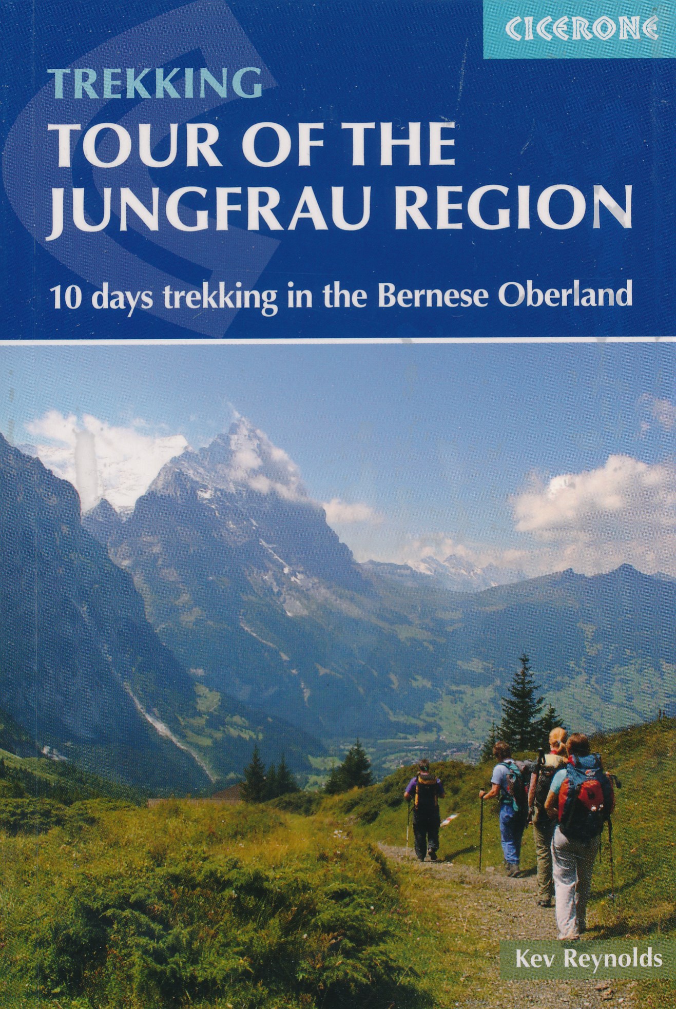
- Tour of the Jungfrau Region
- 10 days trekking in the Bernese Oberland Read more
- Also available from:
- De Zwerver, Netherlands
De Zwerver
Netherlands
2018
Netherlands
2018
- Wandelgids Tour of the Jungfrau Region - Berner Oberland | Cicerone
- The Tour of the Jungfrau Region is described as a clockwise circuit of 111km beginning at Schynige Platte and ending at Wilderswil. It is broken into 10 stages (with alternatives offered), through the Bernese Oberland under the Mönch, Eiger and Jungfrau. With spectacular mountain views, glaciers, lakes and ridges, it is a classic walk. Read more
The Book Depository
United Kingdom
United Kingdom
- Bernese Alps Western Touring Route
- Route Guide to the Long Distance Alpine Walk Read more

The Book Depository
United Kingdom
2023
United Kingdom
2023
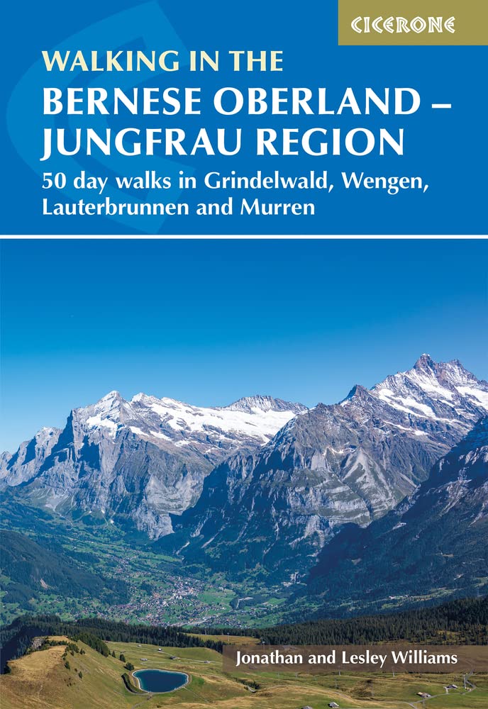
- Walking in the Bernese Oberland - Jungfrau region
- 50 day walks in Grindelwald, Wengen, Lauterbrunnen and Murren Read more
- Also available from:
- De Zwerver, Netherlands
De Zwerver
Netherlands
2023
Netherlands
2023
- Wandelgids Walking in the Bernese Oberland | Cicerone
- 50 day walks in Grindelwald, Wengen, Lauterbrunnen and Murren Read more

- Also available from:
- De Zwerver, Netherlands

Bol.com
Netherlands
2015
Netherlands
2015
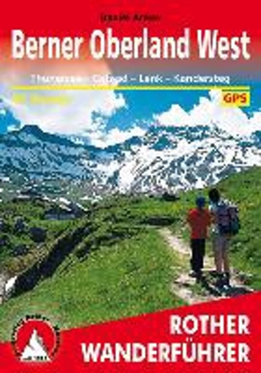
- Berner Oberland West
- Das westliche Berner Oberland mit seinen bekannten Fremdenverkehrs- und Erholungsorten wie Thun, Gstaad, Lenk, Kandersteg oder Adelboden ist seit jeher eine der beliebtesten Wander- und Bergregionen der Schweiz. Zu den eindrucksvollen vergletscherten Gipfeln der Bl mlisalp- oder Wildstrubelgruppe ziehen liebliche T ler, die allesamt... Read more
- Also available from:
- Bol.com, Belgium
Bol.com
Belgium
2015
Belgium
2015
- Berner Oberland West
- Das westliche Berner Oberland mit seinen bekannten Fremdenverkehrs- und Erholungsorten wie Thun, Gstaad, Lenk, Kandersteg oder Adelboden ist seit jeher eine der beliebtesten Wander- und Bergregionen der Schweiz. Zu den eindrucksvollen vergletscherten Gipfeln der Bl mlisalp- oder Wildstrubelgruppe ziehen liebliche T ler, die allesamt... Read more

Bol.com
Netherlands
Netherlands
- Hiking in Switzerland
- This is the official guidebook to the Swiss section of the Via Alpina (National Route 1), published by the Swiss Hiking Federation. The Via Alpina is a network of five long-distance hiking routes which cross eight Alpine countries from Trieste to Monaco - over 5,000 kilometres of hiking trails in total. On Swiss soil, National Route 1 Via... Read more
- Also available from:
- Bol.com, Belgium
Bol.com
Belgium
Belgium
- Hiking in Switzerland
- This is the official guidebook to the Swiss section of the Via Alpina (National Route 1), published by the Swiss Hiking Federation. The Via Alpina is a network of five long-distance hiking routes which cross eight Alpine countries from Trieste to Monaco - over 5,000 kilometres of hiking trails in total. On Swiss soil, National Route 1 Via... Read more

Bol.com
Netherlands
Netherlands
- Wanderland Schweiz 02. Trans Swiss Trail
- Das Wanderland Schweiz besteht aus 6 nationalen Routen und 51 mehrtägigenHighlights. Die Routen basieren auf dem bestehenden Wanderwegnetz und integrierenteilweise bereits bestehende Angebote wie beispielsweise Via Alpina, Jura Höhenweg,Via Jacobi oder Rheintaler Höhenweg.Alle 9 Führer sind mit Farbfotos, Karten und Höhenprofilen farbig reich... Read more
- Also available from:
- Bol.com, Belgium
Bol.com
Belgium
Belgium
- Wanderland Schweiz 02. Trans Swiss Trail
- Das Wanderland Schweiz besteht aus 6 nationalen Routen und 51 mehrtägigenHighlights. Die Routen basieren auf dem bestehenden Wanderwegnetz und integrierenteilweise bereits bestehende Angebote wie beispielsweise Via Alpina, Jura Höhenweg,Via Jacobi oder Rheintaler Höhenweg.Alle 9 Führer sind mit Farbfotos, Karten und Höhenprofilen farbig reich... Read more

Bol.com
Netherlands
Netherlands
- Over the Top & Back Again
- Book of the Year Bronze Award 2010 (travel essays category), ForeWord Magazine After hiking some of the world's great trails, Brandon Wilson was excited to hear about the Via Alpina, paths running across eight countries on the backbone of the Alps. Besides promising immersion into Alpine life and wilderness, it was the ultimate adventure. It... Read more
- Also available from:
- Bol.com, Belgium
Bol.com
Belgium
Belgium
- Over the Top & Back Again
- Book of the Year Bronze Award 2010 (travel essays category), ForeWord Magazine After hiking some of the world's great trails, Brandon Wilson was excited to hear about the Via Alpina, paths running across eight countries on the backbone of the Alps. Besides promising immersion into Alpine life and wilderness, it was the ultimate adventure. It... Read more
Bol.com
Netherlands
Netherlands
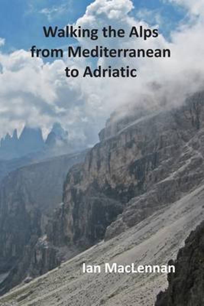
- Walking the Alps from Mediterranean to Adriatic
- This 82-day walk through the Alps starts at Menton on the Mediterranean coast and follows the French-Italian boarder hills to Lake Geneva. The route then continues through the Swiss Alps crossing the Bernese Oberland and the Bernina Alps before entering the Südtyrol. Here the journey traverses the Ortler range and the Dolomites to their... Read more
- Also available from:
- Bol.com, Belgium
Bol.com
Belgium
Belgium
- Walking the Alps from Mediterranean to Adriatic
- This 82-day walk through the Alps starts at Menton on the Mediterranean coast and follows the French-Italian boarder hills to Lake Geneva. The route then continues through the Swiss Alps crossing the Bernese Oberland and the Bernina Alps before entering the Südtyrol. Here the journey traverses the Ortler range and the Dolomites to their... Read more
De Zwerver
Netherlands
2022
Netherlands
2022
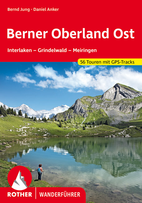
- Wandelgids Berner Oberland · Ost | Rother Bergverlag
- Uitstekende wandelgids met een groot aantal dagtochten in dal en hooggebergte. Met praktische informatie en beperkt kaartmateriaal! Wandelingen in verschillende zwaarte weergegeven in rood/blauw/zwart. Das Berner Oberland wird gerne als »Spielplatz Europas« bezeichnet. Hier – besonders im östlichen Teil mit seinen bekannten Fremdenverkehrsorten... Read more

Bol.com
Netherlands
2014
Netherlands
2014
- Walking in the Bavarian Alps
- Guidebook describing a both valley and mountain walks and treks in the Bavarian Alps. 85 walks are covered, including graded mountain routes, gentler valley walks, hut-to-hut routes and two multi-day tours, arranged by region with practical information on transport, accommodation and the like. Since the last edition of this guide many of the... Read more
- Also available from:
- Bol.com, Belgium
Bol.com
Belgium
2014
Belgium
2014
- Walking in the Bavarian Alps
- Guidebook describing a both valley and mountain walks and treks in the Bavarian Alps. 85 walks are covered, including graded mountain routes, gentler valley walks, hut-to-hut routes and two multi-day tours, arranged by region with practical information on transport, accommodation and the like. Since the last edition of this guide many of the... Read more

Bol.com
Netherlands
Netherlands
- Over the Top & Back Again
- Book of the Year Bronze Award 2010 (travel essays category), ForeWord Magazine After hiking some of the world's great trails, Brandon Wilson was excited to hear about the Via Alpina, paths running across eight countries on the backbone of the Alps. Besides promising immersion into Alpine life and wilderness, it was the ultimate adventure. It... Read more
- Also available from:
- Bol.com, Belgium
Bol.com
Belgium
Belgium
- Over the Top & Back Again
- Book of the Year Bronze Award 2010 (travel essays category), ForeWord Magazine After hiking some of the world's great trails, Brandon Wilson was excited to hear about the Via Alpina, paths running across eight countries on the backbone of the Alps. Besides promising immersion into Alpine life and wilderness, it was the ultimate adventure. It... Read more

Bol.com
Netherlands
2019
Netherlands
2019
- WF5966 Julische Alpen mit Karte Kompass
- De Kompass wandelgids + kaart geeft een overzicht van alle wandelroutes in het gebied met nauwkeurige routeaanwijzingen en hoogteaanduidingen, De extra grote kaart, schaal 1:35 000, is ideaal om van te voren uw route uit te stippelen en om onderweg te gebruiken; naast de bekende bestemmingen, worden ook de minder bekende vermeld; openbaar... Read more
- Also available from:
- Bol.com, Belgium
Bol.com
Belgium
2019
Belgium
2019
- WF5966 Julische Alpen mit Karte Kompass
- De Kompass wandelgids + kaart geeft een overzicht van alle wandelroutes in het gebied met nauwkeurige routeaanwijzingen en hoogteaanduidingen, De extra grote kaart, schaal 1:35 000, is ideaal om van te voren uw route uit te stippelen en om onderweg te gebruiken; naast de bekende bestemmingen, worden ook de minder bekende vermeld; openbaar... Read more
Maps

Stanfords
United Kingdom
United Kingdom
- Adelboden - Lenk
- Adelboden - Lenk area of the western Bernese Oberland, from Gstaad to Frutigen and Leukerbad at 1:50,000 in a series from Hallwag covering Switzerland’s popular hiking regions on light, waterproof and tear-resistant maps highlighting long-distance paths: the nine national routes plus special regional routes, as well as other local hiking... Read more
Stanfords
United Kingdom
United Kingdom
- Montreux
- Montreux - Col du Pillon area at 1:50,000 in a series from Hallwag covering Switzerland’s popular hiking regions on light, waterproof and tear-resistant maps highlighting long-distance paths: the nine national routes plus special regional routes, as well as other local hiking trails.Cartography is similar to that used both in Hallwag’s hiking... Read more

Stanfords
United Kingdom
United Kingdom
- Gstaad - Adelboden - Lenk Hallwag Mountain Bike Map
- Western Bernese Oberland Mountain Bike Map, covering the Gstaad - Adelboden - Lenk area, at 1:50,000 in a series of waterproof and tear-resistant, contoured mountain biking maps from Hallwag, each highlighting several circuits and providing route profiles, guidance on the difficulty and overall experience, etc. Each map in this series is... Read more

Stanfords
United Kingdom
United Kingdom
- Lake Maggiore - Lake Orta - Lake Varese K+F Outdoor Map 8
- Lake Maggiore - Lake Orta - Lake Varese area at 1:50,000 in a series of waterproof and tear-resistant, GPS compatible and contoured recreational maps from Kümmerly + Frey with both local and long-distance hiking and cycling trails, ski routes, sites for other outdoor pursuits, accommodation, bus stops, etc. An inset provides a small road map of... Read more

Stanfords
United Kingdom
United Kingdom
- Styrian Winelands - Southwest Styria F&B WK411
- Styrian Winelands area south-eastern Austria presented at 1:50,000 in a series of contoured and GPS compatible outdoor leisure map from Freytag & Berndt with hiking and cycling routes, mountain huts, campsites and youth hostels, local bus stops, plus other tourist information. To see the list of currently available titles in this series please... Read more
Stanfords
United Kingdom
United Kingdom
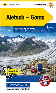
- Goms - Aletsch
- Goms - Aletsch area of the Bernese Oberland at 1:50,000 in a series from Hallwag covering Switzerland’s popular hiking regions on light, waterproof and tear-resistant maps highlighting long-distance paths: the nine national routes plus special regional routes, as well as other local hiking trails.Cartography is similar to that used both in... Read more

Stanfords
United Kingdom
United Kingdom
- Lake Como K+F Outdoor Map 9
- Lake Como area at 1:50,000 on a double-sided, waterproof and tear-resistant, GPS compatible and contoured recreational maps from Kümmerly + Frey with both local and long-distance hiking and cycling trails, ski routes, sites for other outdoor pursuits, accommodation, bus stops, etc. Coverage includes the northern part of Lake Lugano and extends... Read more

Stanfords
United Kingdom
United Kingdom
- Saanenland: Gstaad - Lenk - Adelboden
- 33 specially selected hiking trails in the western part of the Bernese Oberland, around Gstaad, Lenk and Adelboden, presented at 1:50,000 on a waterproof and tear-resistant, contoured and GPS compatible map from the Hallwag/Kümmerly + Frey group, with route profiles, grading for the severity of the terrain and the degree of fitness required,... Read more

Stanfords
United Kingdom
United Kingdom
- Heidiland - UNESCO Tectonic Arena Sardona 50K K+F Hiking Map No. 33
- Heidiland, including the Swiss Tectonic Arena Sardona – a UNESCO World Heritage Site, at 1:50,000 in Kümmerly + Frey’s hiking series of Switzerland printed on light, waterproof and tear-resistant plastic paper. Coverage includes Walensee, Flumserberg, Pizol, Weisstannental, Sarganserland and Taminatal. Hiking trails highlighted on the map... Read more
Stanfords
United Kingdom
United Kingdom
- Interlaken - Grindelwald 50K Hallwag Mountainbike Map No.23
- Interlaken - Grindelwald area of the Bernese Oberland on a mountain bike map at 1:50,000 in a series of waterproof and tear-resistant, contoured mountain biking maps from Hallwag, each highlighting several circuits and providing route profiles, guidance on the difficulty and overall experience, etc. Each map in this series is printed on sturdy,... Read more

Stanfords
United Kingdom
United Kingdom
- Thuner See - Central Switzerland Swisstopo 101
- The Alps of central Switzerland on a Swiss topographic survey map at 1:100,000. Coverage extends south from Luzern to Grindelwald and the Alps of the Bernese Oberland and the Gotthard Pass.Maps in the Swiss topographic survey at 1:100,000 from Swisstopo are highly regarded for their superb use of graphic relief and hill shading, presenting an... Read more

Stanfords
United Kingdom
United Kingdom
- Val Brembana - Valsassina - Le Grigne: Lecco - Bergamo 50K IGC Map No. 22
- Val Brembana - Valsassina - Le Grigne area including Lecco and Bergamo in a series contoured hiking maps at 1:50,000 with local trails, long-distance footpaths, mountain accommodation, etc. from the Turin based Istituto Geografico Centrale.Maps in this series have contours at 50m intervals, enhanced by shading and graphic relief. An overprint... Read more

Stanfords
United Kingdom
United Kingdom
- Cinque Terre - Golfo del Tigullio: La Spezia - Sestri Levante - Rapallo - Genoa 50K IGC Map No. 23
- Cinque Terre - Golfo del Tigullio area of the Italian Riviera from genoa to la Spezia including Sestri Levante and Rapallo in a series contoured hiking maps at 1:50,000 with local trails, long-distance footpaths, mountain accommodation, etc. from the Turin based Istituto Geografico Centrale.Maps in this series have contours at 50m intervals,... Read more

Stanfords
United Kingdom
United Kingdom
- Val Venosta / Vinschgau K+F Outdoor Map 1
- Val Venosta / Vinschgau area in the Dolomites at 1:50,000 in a series of waterproof and tear-resistant, GPS compatible and contoured recreational maps from Kümmerly + Frey with both local and long-distance hiking and cycling trails, ski routes, sites for other outdoor pursuits, accommodation, bus stops, etc. Coverage includes the Ortles/Ortler... Read more
Stanfords
United Kingdom
United Kingdom
- Haslital: Grindelwald - Engelberg 50K Hallwag Outdoor Map No. 5
- Haslital area, from Grindelwald to Engelberg, at 1:50,000 in a series from Hallwag covering Switzerland’s popular hiking regions on light, waterproof and tear-resistant maps highlighting long-distance paths: the nine national routes plus special regional routes, as well as other local hiking trails.Cartography is similar to that used both in... Read more