Saskatchewan
Description
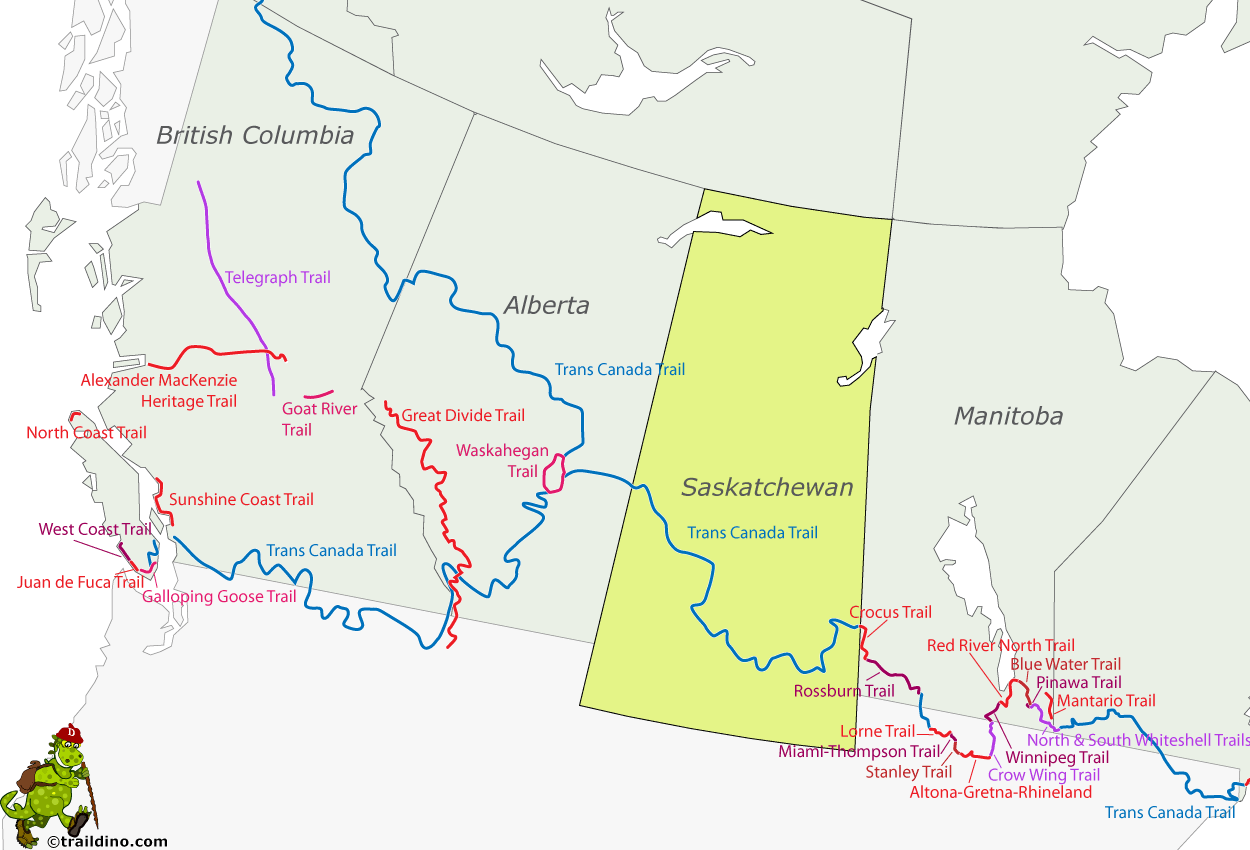
Map
Trails in this state
Links
Facts
Reports
Guides and maps
Lodging
Organisations
Tour operators
GPS
Other
Books

The Book Depository
United Kingdom
United Kingdom
- The Best of The Great Trail -- Volume 1
- Newfoundland to Southern Ontario on the Trans Canada Trail Read more

The Book Depository
United Kingdom
United Kingdom
- The Best of The Great Trail
- British Columbia to Northern Ontario on the Trans Canada Trail Read more
Bol.com
Netherlands
Netherlands
- Badlands
- Foreword by Ross King, New York Times bestselling author and winner of the Governor General's Award. There can be few places in the world where the visual impact of the landscape is as hauntingly captivating as the Badlands of the Northern Great Plains. Encompassing Alberta, Saskatchewan, North Dakota and Montana, these amazing regions... Read more
- Also available from:
- Bol.com, Belgium

Bol.com
Belgium
Belgium
- Badlands
- Foreword by Ross King, New York Times bestselling author and winner of the Governor General's Award. There can be few places in the world where the visual impact of the landscape is as hauntingly captivating as the Badlands of the Northern Great Plains. Encompassing Alberta, Saskatchewan, North Dakota and Montana, these amazing regions... Read more
Bol.com
Netherlands
Netherlands
- Following the Frontier
- Roger Pocock was an Englishman whose tales of wanderlust and equestrian adventure were nineteenth century travel classics. Following the Frontier is considered his best work describing as it does his early adventures in North America. Although the autobiographical account reads like fiction, it is in fact only the first half of his remarkable... Read more
- Also available from:
- Bol.com, Belgium

Bol.com
Belgium
Belgium
- Following the Frontier
- Roger Pocock was an Englishman whose tales of wanderlust and equestrian adventure were nineteenth century travel classics. Following the Frontier is considered his best work describing as it does his early adventures in North America. Although the autobiographical account reads like fiction, it is in fact only the first half of his remarkable... Read more
Bol.com
Netherlands
Netherlands
- Saskatchewan Backroad Mapbook
- A guide to outdoor recreation and historical sites in Saskatchewan, with colour maps that include backroads, trails, parks, campsites, and the locations of outdoor recreational opportunities. The book also includes information on outdoor activities including hiking, hunting, camping, canoeing, cycling, horseback riding, wildlife viewing,... Read more
- Also available from:
- Bol.com, Belgium

Bol.com
Belgium
Belgium
- Saskatchewan Backroad Mapbook
- A guide to outdoor recreation and historical sites in Saskatchewan, with colour maps that include backroads, trails, parks, campsites, and the locations of outdoor recreational opportunities. The book also includes information on outdoor activities including hiking, hunting, camping, canoeing, cycling, horseback riding, wildlife viewing,... Read more

Bol.com
Netherlands
Netherlands
- Camps And Cruises Of An Ornithologist
- CAMPS AND CRUISES OF AN ORNITHOLOGIST BY FRANK M. CHAPMAN CURATOR OF ORNITHOLOGY, AMERICAN MUSEUM OF NATURAL HISTORY FELLOW OF THE AMERICAN ORNITHOLOGISTS UNION AUTHOR OF HANDBOOK OF BIRDS OF EASTERN NORTH AMERICA BIRD-LIFE BIRD STUDIES WITH A CAMERA, ETC. WITH 250 PHOTOGRAPHS FROM NATURE BY THE AUTHOR, 1908, - PREFACE with the assistance of... Read more
- Also available from:
- Bol.com, Belgium

Bol.com
Belgium
Belgium
- Camps And Cruises Of An Ornithologist
- CAMPS AND CRUISES OF AN ORNITHOLOGIST BY FRANK M. CHAPMAN CURATOR OF ORNITHOLOGY, AMERICAN MUSEUM OF NATURAL HISTORY FELLOW OF THE AMERICAN ORNITHOLOGISTS UNION AUTHOR OF HANDBOOK OF BIRDS OF EASTERN NORTH AMERICA BIRD-LIFE BIRD STUDIES WITH A CAMERA, ETC. WITH 250 PHOTOGRAPHS FROM NATURE BY THE AUTHOR, 1908, - PREFACE with the assistance of... Read more
Bol.com
Netherlands
Netherlands
- Trans Canada Trail
- A spectacular journey through the heart of British Columbia. The Trans Canada Trail in southern British Columbia runs from Vancouver Island to the Rockies, weaving more than 1,000 miles through seven mountain ranges. In northern British Columbia, the trail follows the Alaska Highway for 650 miles, from Watson Lake, Yukon, to the British... Read more
- Also available from:
- Bol.com, Belgium

Bol.com
Belgium
Belgium
- Trans Canada Trail
- A spectacular journey through the heart of British Columbia. The Trans Canada Trail in southern British Columbia runs from Vancouver Island to the Rockies, weaving more than 1,000 miles through seven mountain ranges. In northern British Columbia, the trail follows the Alaska Highway for 650 miles, from Watson Lake, Yukon, to the British... Read more
Bol.com
Netherlands
Netherlands
- Camps And Cruises Of An Ornithologist
- CAMPS AND CRUISES OF AN ORNITHOLOGIST BY FRANK M. CHAPMAN CURATOR OF ORNITHOLOGY, AMERICAN MUSEUM OF NATURAL HISTORY FELLOW OF THE AMERICAN ORNITHOLOGISTS UNION AUTHOR OF HANDBOOK OF BIRDS OF EASTERN NORTH AMERICA BIRD-LIFE BIRD STUDIES WITH A CAMERA, ETC. WITH 250 PHOTOGRAPHS FROM NATURE BY THE AUTHOR, 1908, - PREFACE with the assistance of... Read more
- Also available from:
- Bol.com, Belgium

Bol.com
Belgium
Belgium
- Camps And Cruises Of An Ornithologist
- CAMPS AND CRUISES OF AN ORNITHOLOGIST BY FRANK M. CHAPMAN CURATOR OF ORNITHOLOGY, AMERICAN MUSEUM OF NATURAL HISTORY FELLOW OF THE AMERICAN ORNITHOLOGISTS UNION AUTHOR OF HANDBOOK OF BIRDS OF EASTERN NORTH AMERICA BIRD-LIFE BIRD STUDIES WITH A CAMERA, ETC. WITH 250 PHOTOGRAPHS FROM NATURE BY THE AUTHOR, 1908, - PREFACE with the assistance of... Read more

The Book Depository
United Kingdom
United Kingdom
- Trans Canada Trail Northwest Territories
- Official Guide of the Trans Canada Trail Read more
- Also available from:
- Bol.com, Netherlands
- Bol.com, Belgium
Bol.com
Netherlands
Netherlands
- Trans Canada Trail Northwest Territories
- Much more than a guidebook, this natural and cultural feast takes you down the wildest, longest stretch of the Trans Canada Trail, from Alberta's far north to the Arctic Ocean. It provides all the nuts and bolts you'll need for your journey- whether on land or in an armchair- including detailed route maps, major landmarks, access points,... Read more

Bol.com
Belgium
Belgium
- Trans Canada Trail Northwest Territories
- Much more than a guidebook, this natural and cultural feast takes you down the wildest, longest stretch of the Trans Canada Trail, from Alberta's far north to the Arctic Ocean. It provides all the nuts and bolts you'll need for your journey- whether on land or in an armchair- including detailed route maps, major landmarks, access points,... Read more
- Also available from:
- Bol.com, Netherlands
- Bol.com, Belgium
Bol.com
Netherlands
Netherlands
- Trails of Prince Edward Island
- This new guide features more than 50 trails for hiking and cycling on Prince Edward Island, Canada's own emerald isle, included in the book are new trails in Prince Edward Island National Park and the just-completed Confederation Trail, the final (or initial, depending on which way you're facing ) leg of the Trans-Canada Trail. Michael Haynes... Read more

Bol.com
Belgium
Belgium
- Trails of Prince Edward Island
- This new guide features more than 50 trails for hiking and cycling on Prince Edward Island, Canada's own emerald isle, included in the book are new trails in Prince Edward Island National Park and the just-completed Confederation Trail, the final (or initial, depending on which way you're facing ) leg of the Trans-Canada Trail. Michael Haynes... Read more

Stanfords
United Kingdom
United Kingdom
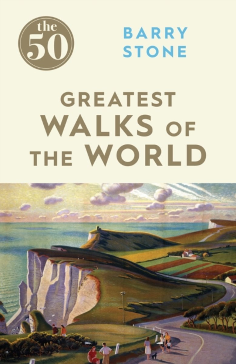
- The 50 Greatest Walks of the World
- Barry Stone, author of 1001 Walks You Must Experience Before You Die, delves into some of the lesser-known aspects of the world`s most famous - and not-quite-famous-yet - trails. The perfect accompaniment to practical guidebooks, Stone relates how slings and carabiners kept him from falling headlong off the Sydney Harbour Bridge, and reports on... Read more
- Also available from:
- Bol.com, Netherlands
- Bol.com, Belgium
Bol.com
Netherlands
Netherlands
- The 50 Greatest Walks of the World
- Barry Stone, author of 1,001 Walks You Must Experience Before You Die, delves into some of the lesser-known aspects of the world's most famous and not-quite-famous-yet trails.The perfect accompaniment to practical guidebooks, Stone relates how slings and carabiners kept him from falling headlong off the Sydney Harbour Bridge, and reports on the... Read more

Bol.com
Belgium
Belgium
- The 50 Greatest Walks of the World
- Barry Stone, author of 1,001 Walks You Must Experience Before You Die, delves into some of the lesser-known aspects of the world's most famous and not-quite-famous-yet trails.The perfect accompaniment to practical guidebooks, Stone relates how slings and carabiners kept him from falling headlong off the Sydney Harbour Bridge, and reports on the... Read more

Bol.com
Netherlands
Netherlands
- Darwin Wiggett Photographs Canada
- In his words, as in his photographs, Darwin Wiggett shares a profound view of the landscape. From the ethereal water of Rushing River, scrambling over layers of Canadian Shield, to a wintery wall of trees in British Columbia's Manning Provincial Park, this book is a unique combination of colour, light and meaning.</p>Darwin transports his... Read more
- Also available from:
- Bol.com, Belgium

Bol.com
Belgium
Belgium
- Darwin Wiggett Photographs Canada
- In his words, as in his photographs, Darwin Wiggett shares a profound view of the landscape. From the ethereal water of Rushing River, scrambling over layers of Canadian Shield, to a wintery wall of trees in British Columbia's Manning Provincial Park, this book is a unique combination of colour, light and meaning.</p>Darwin transports his... Read more
Bol.com
Netherlands
Netherlands
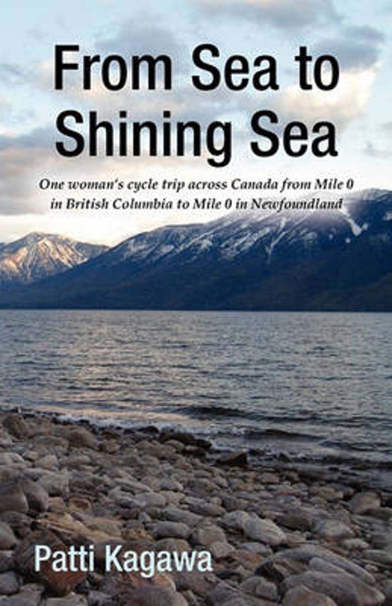
- From Sea to Shining Sea
- This book is one woman's story of her trip cycling across Canada, sharing the ease, joy and trials of her adventure, traveling mainly off the Trans Canada Highway; up and over the mountain passes of British Columbia, against 50 km per hour winds in Saskatchewan, enjoying hospitality of friends and strangers across the country and the joy of... Read more
- Also available from:
- Bol.com, Belgium

Bol.com
Belgium
Belgium
- From Sea to Shining Sea
- This book is one woman's story of her trip cycling across Canada, sharing the ease, joy and trials of her adventure, traveling mainly off the Trans Canada Highway; up and over the mountain passes of British Columbia, against 50 km per hour winds in Saskatchewan, enjoying hospitality of friends and strangers across the country and the joy of... Read more
Bol.com
Netherlands
Netherlands
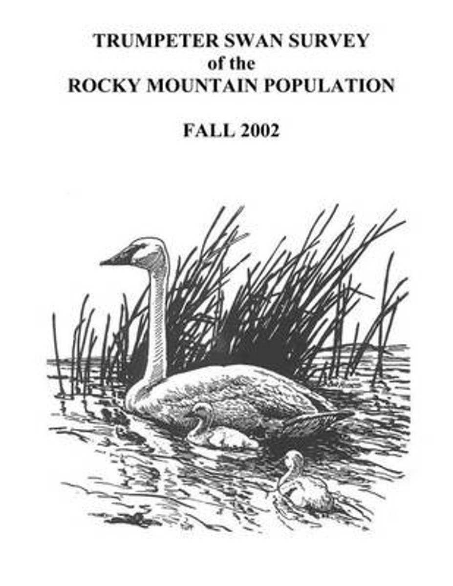
- Trumpeter Swan Survey of the Rocky Mountain Population
- The Rocky Mountain Population (RMP) of trumpeter swans (Cygnus buccinator) consists of birds that nest primarily from western Canada southward to Nevada and Wyoming. The population is comprised of several flocks that nest in different portions of the overall range. The RMP/Canadian Flocks consist of birds that summer primarily in southeastern... Read more
- Also available from:
- Bol.com, Belgium

Bol.com
Belgium
Belgium
- Trumpeter Swan Survey of the Rocky Mountain Population
- The Rocky Mountain Population (RMP) of trumpeter swans (Cygnus buccinator) consists of birds that nest primarily from western Canada southward to Nevada and Wyoming. The population is comprised of several flocks that nest in different portions of the overall range. The RMP/Canadian Flocks consist of birds that summer primarily in southeastern... Read more
Bol.com
Netherlands
Netherlands
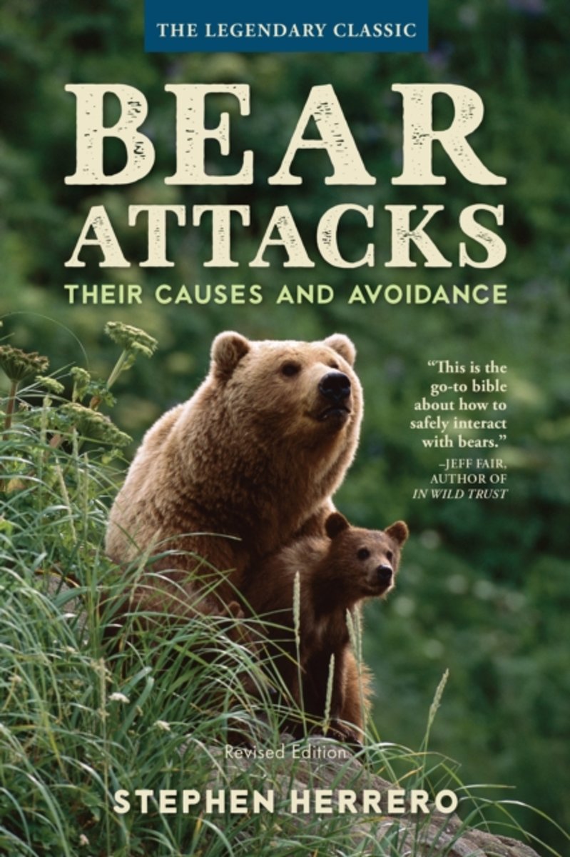
- Bear Attacks
- Alan Precup disappeared while backpacking in the Alaskan wilderness. Days later, searchers found his campsite. In the bushes about 150 feet away, they found Precup's bare skeleton, one intact hand, and both feet, still booted. In his camera were the exposed frames of the bear that killed him. Chris Dunkley and three friends were hiking in Banff... Read more
- Also available from:
- Bol.com, Belgium

Bol.com
Belgium
Belgium
- Bear Attacks
- Alan Precup disappeared while backpacking in the Alaskan wilderness. Days later, searchers found his campsite. In the bushes about 150 feet away, they found Precup's bare skeleton, one intact hand, and both feet, still booted. In his camera were the exposed frames of the bear that killed him. Chris Dunkley and three friends were hiking in Banff... Read more
Maps

Stanfords
United Kingdom
United Kingdom
- Edmonton & Northern Alberta Street Atlas
- Street atlas of Edmonton and northern Alberta, including Beaumont, Bonnyville, Camrose, Cold Lake, Devon, Drayton Valley, Edson, Fort McMurray, Fort Saskatchewan, Grande Prairie, Hinton, Jasper, Lacombe, Leduc, Lloydminster, Morinville, Nisku, Peace River, Ponoka, Red Deer, Rocky Mountain House, St. Albert, St. Paul, Sherwood Park, Slave Lake,... Read more

Stanfords
United Kingdom
United Kingdom
- Alberta & Saskatchewan
- Alberta, including the Banff and Jasper National Parks, and Saskatchewan on an indexed road map presenting both provinces at 1:1,850,000, each accompanied by several street maps of their main cities, including detailed plans of downtown Calgary, Edmonton, Regina and Saskatoon.On one side is a road map of Alberta with coverage extending within... Read more

Stanfords
United Kingdom
United Kingdom
- Regina, Moose Jaw, Swift Current & Towns of Southern Saskatchewan
- Double-sided map presenting on one side an indexed street plan of Regina at 1:25,000, accompanied by a road map of southern Saskatchewan at 1:1,500,000 with coverage extending from US border north to Saskatoon. On the reverse Esteban, Kindersley, Mellville, Moose Jaw, Swift Current, Weyburn and Yorktown are shown on separate panels, all at... Read more

Stanfords
United Kingdom
United Kingdom
- Grasslands National Park: East Block, Saskatchewan
- Grasslands National Park: East Block in Saskatchewan at 1:50,000 in a series of GPS compatible recreational maps at various scales from Go Trekkers highlighting recreational possibilities including trekking and/or snowshoe trails, canoeing and kayaking routes, campgrounds, warden stations, etc.Cartography of each title varies according to the... Read more

Stanfords
United Kingdom
United Kingdom
- Manitoba & Saskatchewan MapArt Road Atlas
- Manitoba and Saskatchewan in an A4 paperback road atlas from Canadian Cartographics Corporation covering the two provinces at 1:1,200,000, with more detailed mapping of 24 city areas, plus 19 street plans including Winnipeg, Regina and Saskatoon.Road mapping at 1:1,200,000 covers all but the northernmost parts of the two provinces. Road... Read more

Stanfords
United Kingdom
United Kingdom
- Saskatoon SK
- Double-sided, indexed street plan of Saskatoon at 1:25,000, with additional panels providing at the same scale indexed street plans of other towns in central and northern Saskatchewan: Battleford and Northern Battleford, Humboldt, Kindersley, La Ronge, Lloydminster, Martensville, Meadow Lake, Melfort, Nipawin, Prince Albert, Tisdale and Warman.... Read more

Stanfords
United Kingdom
United Kingdom
- Grasslands National Park; West Block Saskatchewan
- Grasslands National Park: West Block in Saskatchewan at 1:50,000 in a series of GPS compatible recreational maps at various scales from Go Trekkers highlighting recreational possibilities including trekking and/or snowshoe trails, canoeing and kayaking routes, campgrounds, warden stations, etc.Cartography of each title varies according to the... Read more

Stanfords
United Kingdom
United Kingdom
- Manitoba & Saskatchewan
- Manitoba and Saskatchewan on an indexed road map at 1:1,850,000 with on the reverse 21 panels with street maps of the two provinces’ main towns, including large street plans at 1:25,000 of downtown Regina, Saskatoon and Winnipeg.The two provinces are presented together at 1:1,850,000 on one side of the map. Road network indicates paved, gravel,... Read more

Stanfords
United Kingdom
United Kingdom
- Saskatchewan MapArt
- Saskatchewan on an indexed road map at 1:1,250,000 with on the reverse street maps of the province’s 10 main towns, including detailed plans of downtown Regina, Saskatoon and Prince Albert, plus a distance table.On one side is a road map of Saskatchewan at 1:1,250,000. Road network indicates paved, gravel and seasonal roads, with distance... Read more

Stanfords
United Kingdom
United Kingdom
- Prince Albert NP, Saskatchewan
- Prince Albert National Park in Saskatchewan at 1:100,000 in a series of GPS compatible recreational maps at various scales from Go Trekkers highlighting recreational possibilities including trekking and/or snowshoe trails, canoeing and kayaking routes, campgrounds, warden stations, etc.Cartography of each title varies according to the terrain... Read more

Stanfords
United Kingdom
United Kingdom
- Saskatchewan FastTrack
- Saskatchewan on an indexed road map at 1:1,250,000 with on the reverse street maps of the province’s 10 main towns, including detailed plans of downtown Regina, Saskatoon and Prince Albert, plus a distance table.On one side is a road map of Saskatchewan at 1:1,250,000. Road network indicates paved, gravel and seasonal roads, with distance... Read more

Stanfords
United Kingdom
United Kingdom
- Alberta Pocket Road Atlas
- Pocket road atlas of Alberta presenting the whole province at 1:1,325,000, with numerous enlargement showing in more detail most visited areas, including Banff, Jasper, Canmore, Calgary, Edmonton, etc. The index includes a listing of the province’s national and provincial parks.Road network indicates loose surface and unimproved roads, showing... Read more

Stanfords
United Kingdom
United Kingdom
- Edmonton AB
- Street plan of Edmonton including coverage of Fort Saskatchewan, Leduc, Sherwood Park and St. Albert. Street plans from the MapArt / Canadian Cartographics Corporation / JDM Géo publishing group are usually produced at scales around 1:25,000 to 1:35,000 with smaller towns often shown at more detailed scales. All plans have street indexes. Plans... Read more

Stanfords
United Kingdom
United Kingdom
- Manning Park - Skagit River ITMB
- Manning Park - Skagit River at 1:50,000 in a series of topographic survey maps of selected areas of British Columbia and the Canadian Rockies from ITMB with cartography from Canada’s national survey organization. Most sheets are printed on light, waterproof and tear- resistant plastic paper.Whilst the Canadian Department of Natural Resources... Read more
De Zwerver
Netherlands
Netherlands
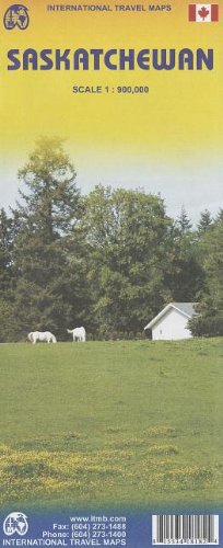
- Wegenkaart - landkaart Saskatchewan | ITMB
- Saskatchewan Travel Reference Map 1 : 900 000 ab 10.49 EURO 1st Edition Read more


