Confederation Trail
Description
- Name Confederation Trail
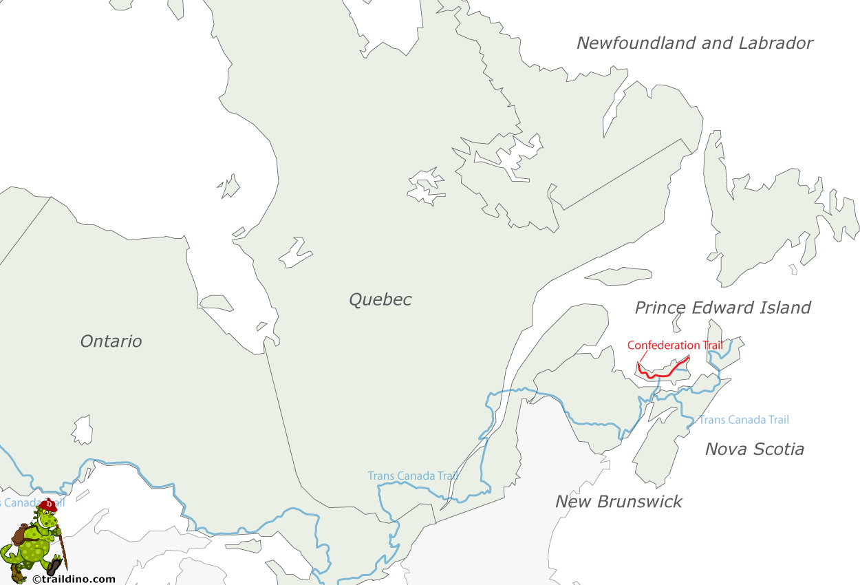
- Length of trail 470 km, 292 miles
- Length in days 24 days
- Start of trail Tignish
- End of trail Elmira
- Traildino grading EW, Easy walk, nature trail
Tignish – Elmira, 273 km, Secondary trails 197 km, total 470 km
The Confederation Trail is a recreational railtrail system. The railway system on Prince Edward Island has been abandoned as late as 1989, immediately followed by a succesful lobby to turn it into a trail for walkers and cyclists.
Today, the trail is almost complete, except a few pieces that have been leased to private landowners. The trail is very popular, especially with cyclists, because the surface is good, and there is little change in height. The main trail - Tignish to Elmira – counts 273 km. Beside that there is some 200 km of branch trails.
The trail passes through the varied agricultural landscape and woods of Prince Edward Island, and offers spectacular autumn coloring as a bonus.
Map
Links
Facts
Reports
Guides and maps
Lodging
Organisations
Tour operators
GPS
Other
Books
- Also available from:
- Bol.com, Netherlands
- Bol.com, Belgium

Netherlands
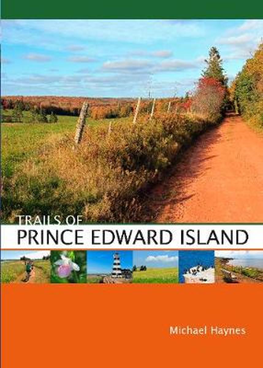
- Trails of Prince Edward Island
- This new guide features more than 50 trails for hiking and cycling on Prince Edward Island, Canada's own emerald isle, included in the book are new trails in Prince Edward Island National Park and the just-completed Confederation Trail, the final (or initial, depending on which way you're facing ) leg of the Trans-Canada Trail. Michael Haynes... Read more

Belgium
- Trails of Prince Edward Island
- This new guide features more than 50 trails for hiking and cycling on Prince Edward Island, Canada's own emerald isle, included in the book are new trails in Prince Edward Island National Park and the just-completed Confederation Trail, the final (or initial, depending on which way you're facing ) leg of the Trans-Canada Trail. Michael Haynes... Read more
Maps

United Kingdom
- Prince Edward Island
- Prince Edward Island on an indexed road map at 1:200,000, plus indexed street maps at 1:25,000 of its main towns: Charlottetown with Stratford and Cornwall, Alberton, Georgetown, Kensington, Montague, Souris, and Summerside; also contact details for information on ferry services.The main panel presents the island indicating loose surface and... Read more


