
Berchtesgadener Alpen
Description

The Berchtesgaden Alps is one of the highest areas in Germany. Around the pitturesque Königsee rise the bare jagged mountains, as pimples out of the green woods and meadows. Watzmann is the highest mountain here (2.713 m), just a little lower than the Zugspitze, but 100% German.
This part of the Northern Limestone Alps intrudes into Austrian territory, more or less like a bag. The area is not far from Salzburg. The Berchtesgadener Alps continue on the Austrian side of the border, and the highest summit here is the Hochkönig, 2.941 m.
One of the attractions is the Steinernes Meer, the stony sea, a barren plateau with rocks, rocks, rocks.
Yes, walking is excellent here. Not only because of the many (more than 40) huts. But also because of the variety of trails, from easy to very challenging. The geological origin of the mountains is karst, and this means lots of hard rock and ... klettersteige, if you like them. Bonus is the relative calmness on the Austrian side, since the masses are draw to the areas with the big names, further south.
Map


Trails in this region
Links
Facts
Reports
Guides and maps
Lodging
Organisations
Tour operators
GPS
Other
Books

United Kingdom
2018
- Walking in the Bavarian Alps
- 70 mountain walks and treks in southern Germany Read more
- Also available from:
- De Zwerver, Netherlands

Netherlands
2018
- Wandelgids Beieren - Walking in the Bavarian Alps | Cicerone
- Guidebook to mountain walks and treks in the Bavarian Alps, on the border of Germany and Austria, between Lake Constance and Berchtesgaden. Accessible from Munich, Salzburg and Innsbruck, these 70 routes range from half-day walks to 3-day hut-to-hut treks. Highlights include the Königssee and Breitach, Partnach and Höllental gorges. Read more
Netherlands
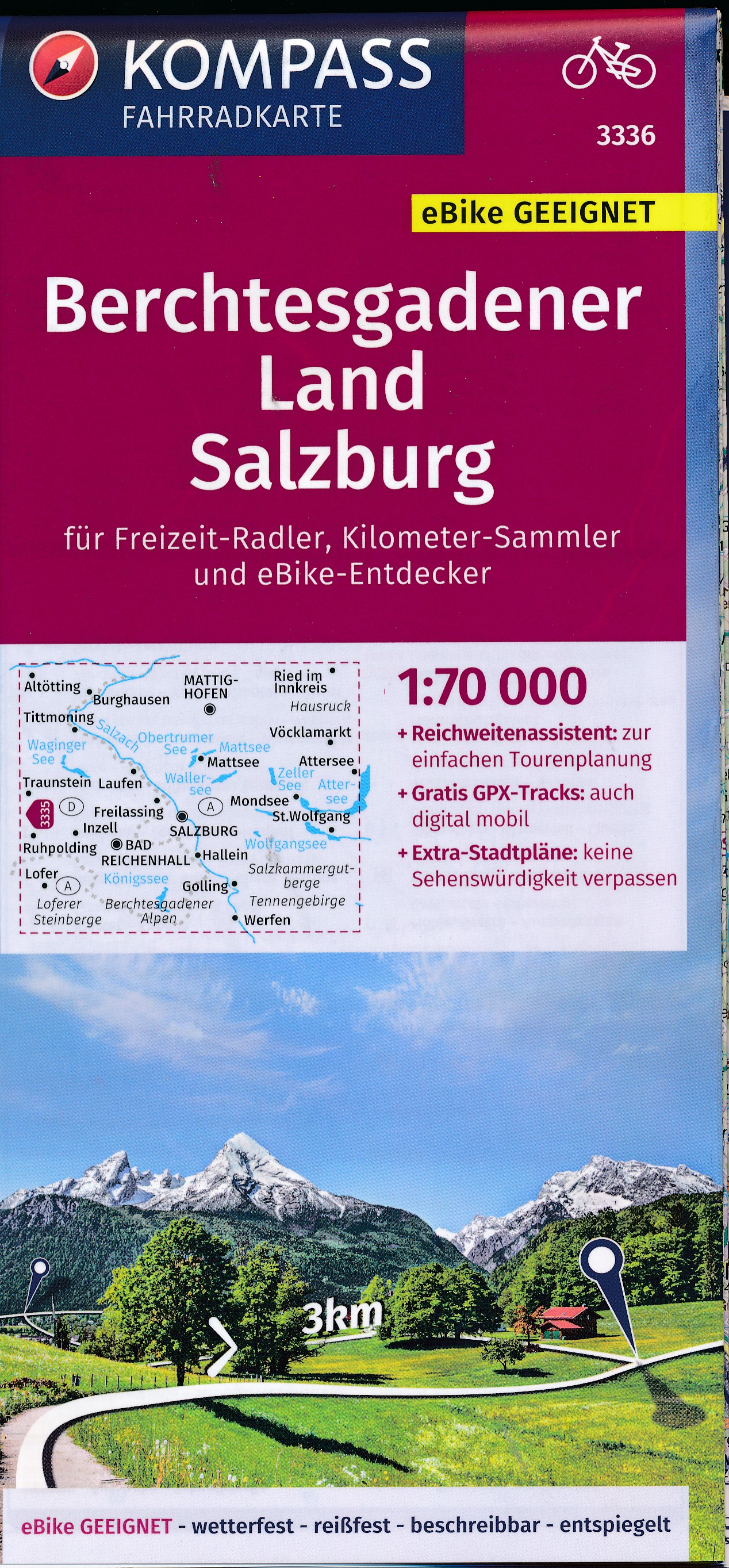
- Fietskaart 3336 Berchtesgadener Land - Salzburg | Kompass
- Die Fahrradkarte die alles kann, das bedeutet:- übersichtliche Kartografie, detailgenaue Infos zu Wegbeschaffenheit und Verkehrsbelastung- handliches Format – passend für den Radkartenhalter- Reichweitenassistenten: Reicht der E-Bike-Akku? Easy Touren-Planung mit dem KOMPASS-Reichweitenassistenten.- Steigungspfeile: Bergauf oder bergab? Die... Read more
Netherlands
2016
- Wandelgids Berchtesgadener und Chiemgauer Wanderberge 50 Touren zwischen Inn und Salzach | Rother Bergverlag
- De ‘Rother Wanderbücher’ behandelen telkens de 50 mooiste wandelingen, die variëren van eenvoudige kindvriendelijke wandelingen tot routes die aanzienlijk meer ervaring vereisen. Uitvoerige routebeschrijvingen, een aantrekkelijke lay-out met vele kleurenfoto’s, niets aan duidelijkheid te wensen gelaten hoogteprofielen, kaartjes met de... Read more
Netherlands
2020
- Wandelgids Wilde Wege Bayerische Alpen | Rother Bergverlag
- 50 Touren zwischen Ammergau und Berchtesgaden. Mit GPS-Daten Rother Wanderbuch. 1., Auflage. Read more
Netherlands
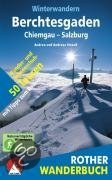
- Winterwandern Berchtesgaden - Chiemgau - Salzburg
- Verschneite Landschaft genießen, frische Winterluft schnuppern, in einer gemütlichen Alm einkehren, mit dem Schlitten ins Tal sausen, auch in der kalten Jahreszeit draußen in den Bergen sein - Winterwandern liegt nicht nur im Trend, es macht einfach Spaß!Die kompetenten Gebietskenner Andrea und Andreas Strauß stellen in diesem Rother Wanderbuch... Read more
- Also available from:
- Bol.com, Belgium
Belgium
- Winterwandern Berchtesgaden - Chiemgau - Salzburg
- Verschneite Landschaft genießen, frische Winterluft schnuppern, in einer gemütlichen Alm einkehren, mit dem Schlitten ins Tal sausen, auch in der kalten Jahreszeit draußen in den Bergen sein - Winterwandern liegt nicht nur im Trend, es macht einfach Spaß!Die kompetenten Gebietskenner Andrea und Andreas Strauß stellen in diesem Rother Wanderbuch... Read more

Netherlands
- Un Jubilado En Los Alpes
- Se aproximaba el verano y era necesario decidirse. Entre unos pocos proyectos previstos hasta esos dias, que habian ido surgiendo en mi imaginacion durante el invierno, se fueron concretando a mitad de la primavera la posibilidad de caminar por el Himalaya, en Cachemira, recorrer algunos valles del Caucaso al norte de Georgia o atravesar los... Read more
- Also available from:
- Bol.com, Belgium
Belgium
- Un Jubilado En Los Alpes
- Se aproximaba el verano y era necesario decidirse. Entre unos pocos proyectos previstos hasta esos dias, que habian ido surgiendo en mi imaginacion durante el invierno, se fueron concretando a mitad de la primavera la posibilidad de caminar por el Himalaya, en Cachemira, recorrer algunos valles del Caucaso al norte de Georgia o atravesar los... Read more
Netherlands
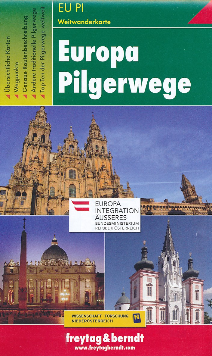
- Wandelkaart - Pelgrimsroute (kaart) Overzichtskaart Europese Pelgrimspaden - Europa Pilgerwege | Freytag & Berndt
- De grote overzichtskaart van alle Pelgrimswegen in Europa. In één oogopslag krijg je een geweldig goed overzicht van zo ongeveer alle mogelijkheden om op bedevaart te gaan. In het begeleidende boekje worden ze stuk voor stuk in het (zeer) kort beschreven. Als je een overzicht wenst of droomt van een lange bedevaart is dit je kaart! Read more
Netherlands
2022
Netherlands
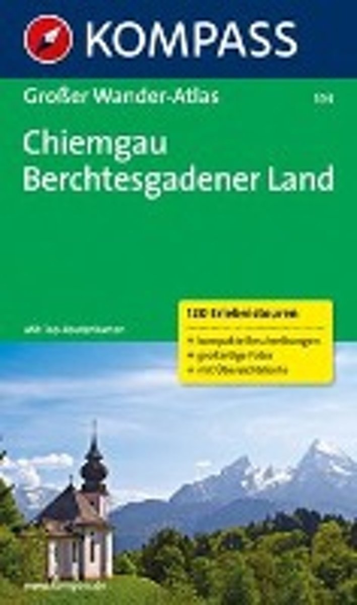
- Kompass WA594 Chiemgau, Berchtesgadenerland
- Die KOMPASS Wander-Atlanten überzeugen durch: ausgewogene Tourenwahl für jede Kondition, mindestens 100 Tourenvorschläge,In deze Duitstalige Kompass wandelatlas vindt u de 120 mooiste wandelingen in het gebied • Routes voor zowel getrainde als ongetrainde wandelaars • gedetailleerde kaarten • duidelijke routebeschrijvingen met fraaie foto's •... Read more
- Also available from:
- Bol.com, Belgium
Belgium
- Kompass WA594 Chiemgau, Berchtesgadenerland
- Die KOMPASS Wander-Atlanten überzeugen durch: ausgewogene Tourenwahl für jede Kondition, mindestens 100 Tourenvorschläge,In deze Duitstalige Kompass wandelatlas vindt u de 120 mooiste wandelingen in het gebied • Routes voor zowel getrainde als ongetrainde wandelaars • gedetailleerde kaarten • duidelijke routebeschrijvingen met fraaie foto's •... Read more

Netherlands
- Hiking in Switzerland
- This is the official guidebook to the Swiss section of the Via Alpina (National Route 1), published by the Swiss Hiking Federation. The Via Alpina is a network of five long-distance hiking routes which cross eight Alpine countries from Trieste to Monaco - over 5,000 kilometres of hiking trails in total. On Swiss soil, National Route 1 Via... Read more
- Also available from:
- Bol.com, Belgium
Belgium
- Hiking in Switzerland
- This is the official guidebook to the Swiss section of the Via Alpina (National Route 1), published by the Swiss Hiking Federation. The Via Alpina is a network of five long-distance hiking routes which cross eight Alpine countries from Trieste to Monaco - over 5,000 kilometres of hiking trails in total. On Swiss soil, National Route 1 Via... Read more

United Kingdom
2017
- The Swiss Alpine Pass Route - via Alpina Route 1: Trekking East to West Across Switzerland
- This guidebook presents the stunning Alpine Pass Route, now fully waymarked as Via Alpina 1. The 360km trail traverses Switzerland from east to west, from Sargans near the Liechtenstein border to Montreux on Lac Leman (Lake Geneva). Crossing sixteen Alpine passes, it showcases some of the country`s most breathtaking mountain landscapes,... Read more
- Also available from:
- Bol.com, Netherlands
- Bol.com, Belgium

Netherlands
2017
- The Swiss alpine pass route - Via Alpina route 1
- This guidebook presents the stunning Alpine Pass Route, now fully waymarked as Via Alpina 1. The 360km trail traverses Switzerland from east to west, from Sargans near the Liechtenstein border to Montreux on Lac Léman (Lake Geneva). Crossing sixteen Alpine passes, it showcases some of the country's most breathtaking mountain landscapes,... Read more
Belgium
2017
- The Swiss alpine pass route - Via Alpina route 1
- This guidebook presents the stunning Alpine Pass Route, now fully waymarked as Via Alpina 1. The 360km trail traverses Switzerland from east to west, from Sargans near the Liechtenstein border to Montreux on Lac Léman (Lake Geneva). Crossing sixteen Alpine passes, it showcases some of the country's most breathtaking mountain landscapes,... Read more
Netherlands
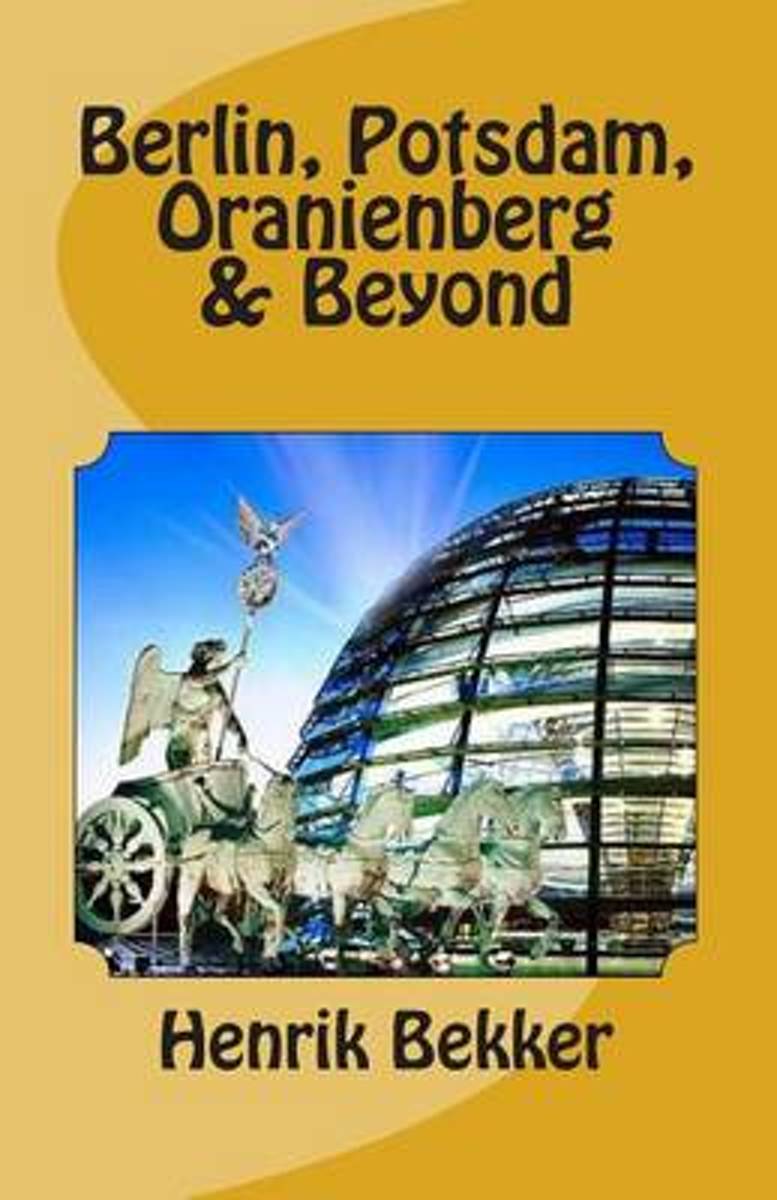
- Berlin, Potsdam, Oranienberg & Beyond
- We travel to grow -- our Adventure Guides show you how. Experience the places you visit more directly, freshly, intensely than you would otherwise -- sometimes best done on foot, in a canoe, or through cultural adventures like art courses, cooking classes, learning the language, meeting the people, joining in the festivals and celebrations.... Read more
- Also available from:
- Bol.com, Belgium
Belgium
- Berlin, Potsdam, Oranienberg & Beyond
- We travel to grow -- our Adventure Guides show you how. Experience the places you visit more directly, freshly, intensely than you would otherwise -- sometimes best done on foot, in a canoe, or through cultural adventures like art courses, cooking classes, learning the language, meeting the people, joining in the festivals and celebrations.... Read more


Netherlands
2023
Maps

United Kingdom
- E4 Arquipelago de Cabo Verde
- Plans included:Porto Novo (Ilha de Santo Antão) (1:10 000)Mindelo (Porto Grande) (Ilha de São Vicente) (1:20 000)Ilha de Santa Luzia (1:not known)Porto de Tarrafal (Ilha de São Nicolau) (1:8500)Porto da Preguiça (Ilha de São Nicolau) (1:8500)Baía da Palmeira (Ilha do Sal) (1:15 000)Porto de Sal-Rei (Ilha da Boavista) (1:30 000)Porto da Praia... Read more

United Kingdom
- Berchtesgadener Land - Königssee - NP Berchtesgaden Kompass 794
- Berchtesgadener Land – Köningssee area of the German Alps on a detailed, GPS compatible map at 1:50,000 from Kompass with local and long-distance footpaths, cycling routes, accommodation, etc, printed on durable, waterproof and tear-resistant synthetic paper. KOMPASS HIKING & RECREATIONAL MAPS:This title is part of an extensive series covering... Read more

United Kingdom
- Styrian Winelands - Southwest Styria F&B WK411
- Styrian Winelands area south-eastern Austria presented at 1:50,000 in a series of contoured and GPS compatible outdoor leisure map from Freytag & Berndt with hiking and cycling routes, mountain huts, campsites and youth hostels, local bus stops, plus other tourist information. To see the list of currently available titles in this series please... Read more

United Kingdom
- Lake Como K+F Outdoor Map 9
- Lake Como area at 1:50,000 on a double-sided, waterproof and tear-resistant, GPS compatible and contoured recreational maps from Kümmerly + Frey with both local and long-distance hiking and cycling trails, ski routes, sites for other outdoor pursuits, accommodation, bus stops, etc. Coverage includes the northern part of Lake Lugano and extends... Read more

United Kingdom
- Zell am See - Kaprun - Saalbach F&B WK382
- Zell-am-See - Kaprun - Saalbach area of the Austrian Alps presented at 1:50,000 in a series of contoured and GPS compatible outdoor leisure map from Freytag & Berndt with hiking and cycling routes, mountain huts, campsites and youth hostels, local bus stops, plus other tourist information. To see the list of currently available titles in this... Read more

United Kingdom
- Heidiland - UNESCO Tectonic Arena Sardona 50K K+F Hiking Map No. 33
- Heidiland, including the Swiss Tectonic Arena Sardona – a UNESCO World Heritage Site, at 1:50,000 in Kümmerly + Frey’s hiking series of Switzerland printed on light, waterproof and tear-resistant plastic paper. Coverage includes Walensee, Flumserberg, Pizol, Weisstannental, Sarganserland and Taminatal. Hiking trails highlighted on the map... Read more

United Kingdom
- Adelboden - Lenk
- Adelboden - Lenk area of the western Bernese Oberland, from Gstaad to Frutigen and Leukerbad at 1:50,000 in a series from Hallwag covering Switzerland’s popular hiking regions on light, waterproof and tear-resistant maps highlighting long-distance paths: the nine national routes plus special regional routes, as well as other local hiking... Read more

United Kingdom
- Lake Constance - Königssee Cycle Route Bikeline Map-Guide
- Lake Constance - Königssee Cycle Route, a 400-km long cycle trail along the whole length of the German Alps from Lindau to Berchtesgaden, presented by the Verlag Esterbauer in a guide with maps at 1:50,000 showing the route and its variants. Extensive information is conveyed by symbols, indicating road surface, campsites and other... Read more

United Kingdom
- Val Brembana - Valsassina - Le Grigne: Lecco - Bergamo 50K IGC Map No. 22
- Val Brembana - Valsassina - Le Grigne area including Lecco and Bergamo in a series contoured hiking maps at 1:50,000 with local trails, long-distance footpaths, mountain accommodation, etc. from the Turin based Istituto Geografico Centrale.Maps in this series have contours at 50m intervals, enhanced by shading and graphic relief. An overprint... Read more

United Kingdom
- Ebermannstadt E10
- Ebermannstadt in a series of GPS compatible recreational editions of the Bavarian topographic survey at 1:25,000, with waymarked hiking trails and cycling routes, campsites and youth hostels, etc. Coverage includes Gößweinstein, Waischenfeld, Wiesenttal, Pottenstein, Pretzfeld, Heiligenstadt i.OFr.Contours used in this map vary between 5 to 20m... Read more
United Kingdom
- Goms - Aletsch
- Goms - Aletsch area of the Bernese Oberland at 1:50,000 in a series from Hallwag covering Switzerland’s popular hiking regions on light, waterproof and tear-resistant maps highlighting long-distance paths: the nine national routes plus special regional routes, as well as other local hiking trails.Cartography is similar to that used both in... Read more
United Kingdom
- Haslital: Grindelwald - Engelberg 50K Hallwag Outdoor Map No. 5
- Haslital area, from Grindelwald to Engelberg, at 1:50,000 in a series from Hallwag covering Switzerland’s popular hiking regions on light, waterproof and tear-resistant maps highlighting long-distance paths: the nine national routes plus special regional routes, as well as other local hiking trails.Cartography is similar to that used both in... Read more
United Kingdom
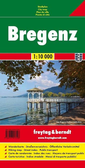
- Bregenz F&B
- Indexed street plan of Bregenz extending north along the Bodensee coast to Lochau and Unter Hochsteg. Detail includes pedestrianised areas, railways, bus routes and cycle paths. Notable buildings are highlighted in red, and symbols indicate post offices, hostels, campsites and car parks.On the reverse is a 1:50,000 contoured map of the... Read more

United Kingdom
- Hungarian National Long-distance Blue Trail (E4): Visegrad to Irott-ko
- Hiking guide to the north-western section of Hungary’s National Blue Trail which forms part of the E4 European long-distance footpath. The guide covers the route from the historic town of Visegrád on the Danube, across the Buda Hills on the outskirts of Budapest and the Bakony Hills along the north-eastern shore of Lake Balaton, to Írott-ko in... Read more

United Kingdom
- Cinque Terre - Golfo del Tigullio: La Spezia - Sestri Levante - Rapallo - Genoa 50K IGC Map No. 23
- Cinque Terre - Golfo del Tigullio area of the Italian Riviera from genoa to la Spezia including Sestri Levante and Rapallo in a series contoured hiking maps at 1:50,000 with local trails, long-distance footpaths, mountain accommodation, etc. from the Turin based Istituto Geografico Centrale.Maps in this series have contours at 50m intervals,... Read more