
Kerry
Description

The southeast of Ireland offers mountains, lakes, a rugged coastline, and is therefore the most popular tourist destination. It’s popular name is Kerry, but the beauty is shared by both county Kerry and country Cork. The region is like a hand with fingers spread, penetrating deep into the Atlantic: Dingle peninsula, Kerry peninsula, Beara Peninsula, Sheeps Head … Apart from a handful very good long distance trails - among them the Kerry Way and the Dingle Way - there are plenty good hillwalking and coast walking opportunities.
Trails in this region
Links
Facts
Reports
Guides and maps
Lodging
Organisations
Tour operators
GPS
Other
Books

Stanfords
United Kingdom
United Kingdom
- Travels in Wicklow,West Kerry and Connemara
- J.M. Synge was a tireless traveller who, while celebrating the beauties of the Irish landscape, never flinched from describing the harsh, unromantic reality of rural life. Jack B. Yeats`s evocative drawings were intended to accompany these accounts of Synge`s travels, and they are now published together again for the first time in 100... Read more

Stanfords
United Kingdom
United Kingdom
- DK Eyewitness Travel Guide Ireland
- DK Eyewitness travel guides: award-winning guidebooksDiscover Ireland with this essential travel guide to this great island, designed to help you create your own unique trip and to transport you there before you`ve even packed your case - step back in time at Newgrange and other ancient sites across the country, explore the legendary Giant`s... Read more

Stanfords
United Kingdom
2020
United Kingdom
2020
- Insight Guides Explore Ireland (Travel Guide with Free eBook)
- Insight Guides Explore IrelandTravel made easy. Ask local experts. Focused travel guide featuring the very best routes and itineraries, now with free eBook.Discover the best of Ireland with this unique travel guide, packed full of insider information and stunning images. From making sure you don`t miss out on must-see, top attractions like... Read more

Stanfords
United Kingdom
2021
United Kingdom
2021
- DK Eyewitness Road Trips Ireland
- With its unspoiled coastline, dramatic ruins and picturesque villages, Ireland is the perfect destination for a leisurely road trip. It`s yours to explore with Road Trips Ireland, which contains 24 amazing drives across the country, from the majestic Ring of Kerry to the extraordinary Giant`s Causeway.Packed with insider tips and information,... Read more

Stanfords
United Kingdom
United Kingdom
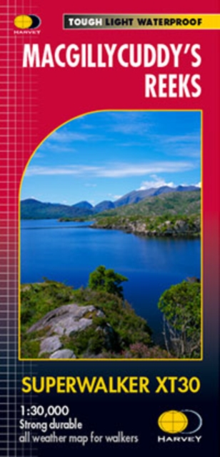
- MacGillycuddy`s Reeks Harvey Superwalker XT30
- Includes the whole of the Killarney National Park.Detailed map for hillwalkers of MacGillycuddy`s Reeks at 1:30,000 scale.Summit enlargement of Carrauntoohil at 1:15,000.Shows tracks, paths and cliffs in detail. As used by Mountain Rescue Ireland.PLEASE NOTE: this title is also available as a pocket-size Ultramap with its scale reduced to... Read more

Stanfords
United Kingdom
United Kingdom
- Epic Hikes of Europe
- Lace up your hiking boots for the next in Lonely Planet`s highly successful Epic series, this time exploring 50 of Europe`s most rewarding and beautiful hikes. From the sun-kissed regions of Southern Europe, including Italy, Greece, Portugal and Spain, to North Europe`s history-rich heartlands (including France, Germany, Belgium, Britain,... Read more
- Also available from:
- The Book Depository, United Kingdom


Stanfords
United Kingdom
2015
United Kingdom
2015
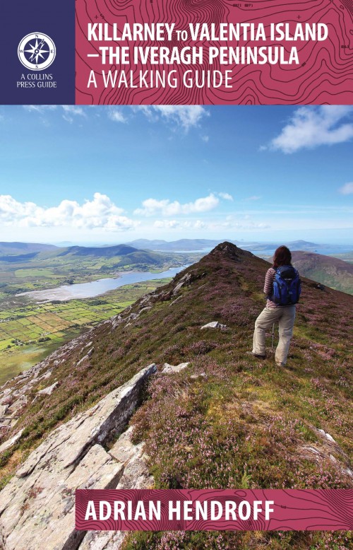
- Killarney to Valentia Island: The Iveragh Peninsula: A Walking Guide
- The Iveragh Peninsula, the largest in southwest Ireland, stretches from Killarney to Bolus Head and attracts thousands of visitors annually. The Ring of Kerry coastal road winds along its fringes and sandstone peaks soar high above. It is a landscape of raw and stunning beauty from the lakes that fill the corries to the spectacular cliff... Read more
- Also available from:
- The Book Depository, United Kingdom
- De Zwerver, Netherlands

The Book Depository
United Kingdom
2015
United Kingdom
2015
- Killarney to Valentia Island
- The Iveragh Peninsula, the largest in southwest Ireland, stretches from Killarney to Bolus Head and attracts thousands of visitors annually. The Ring of Kerry coastal road winds along its fringes and sandstone peaks soar high above. It is a landscape of raw and stunning beauty from the lakes that fill the corries to the spectacular cliff... Read more
De Zwerver
Netherlands
2015
Netherlands
2015
- Wandelgids Killarney to Valentia Island - The Iveragh Peninsula | The Collins Press
- The Iveragh Peninsula, the largest in southwest Ireland, stretches from Killarney to Bolus Head and attracts thousands of visitors annually. The Ring of Kerry coastal road winds along its fringes and sandstone peaks soar high above. It is a landscape of raw and stunning beauty from the lakes that fill the corries to the spectacular cliff... Read more

- Also available from:
- De Zwerver, Netherlands

Stanfords
United Kingdom
United Kingdom
- Moon Ireland (Third Edition): Castles, Cliffs, and Lively Local Spots
- From its stirring legends to its stunning landscapes, Ireland is a living, breathing fairy-tale. Ignite your imagination with Moon Ireland. Inside you`ll find:*Flexible itineraries from a two-week ”Best of Ireland” adventure or a weekend in Dublin to 3-day tours of southern, northern, and coastal Ireland that can be combined into a longer... Read more
- Also available from:
- The Book Depository, United Kingdom

The Book Depository
United Kingdom
United Kingdom
- Moon Ireland (Third Edition)
- Castles, Cliffs, and Lively Local Spots Read more

- Also available from:
- De Zwerver, Netherlands

- Also available from:
- De Zwerver, Netherlands

The Book Depository
United Kingdom
United Kingdom
- Ireland's County High Points
- Whether you are a leisurely rambler or a serious hill walker, there's a good chance you've visited or plan to visit at least one of Ireland's County High Points. While this special set of Irish hills and mountains continues to attract more visitors each year, they've never had a walking guidebook exclusively devoted to them. Ireland's County... Read more
Bol.com
Netherlands
Netherlands
- Cycling Munster
- With routes spanning the province, here is everything you need to explore the highways and byways of Munster - on two wheels. This popular guide has now been updated to include the Waterford Greenway, which officially opened in spring 2017. The route, set against the glorious backdrop of the Comeragh Mountains, runs for 46km along an old... Read more
- Also available from:
- Bol.com, Belgium
Bol.com
Belgium
Belgium
- Cycling Munster
- With routes spanning the province, here is everything you need to explore the highways and byways of Munster - on two wheels. This popular guide has now been updated to include the Waterford Greenway, which officially opened in spring 2017. The route, set against the glorious backdrop of the Comeragh Mountains, runs for 46km along an old... Read more
Bol.com
Netherlands
Netherlands
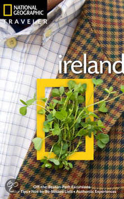
- National Geographic Traveler Ireland
- Author Christopher Somerville is the perfect guide to this picturesque country. He begins with Dublin, Ireland's cosmopolitan capital city, where reminders of the country's stirring history and rich culture adorn nearly every street corner. From there we head south, with highlights including County Kildare, capital of Irish horse racing; the... Read more
- Also available from:
- Bol.com, Belgium
Bol.com
Belgium
Belgium
- National Geographic Traveler Ireland
- Author Christopher Somerville is the perfect guide to this picturesque country. He begins with Dublin, Ireland's cosmopolitan capital city, where reminders of the country's stirring history and rich culture adorn nearly every street corner. From there we head south, with highlights including County Kildare, capital of Irish horse racing; the... Read more
Bol.com
Netherlands
2015
Netherlands
2015
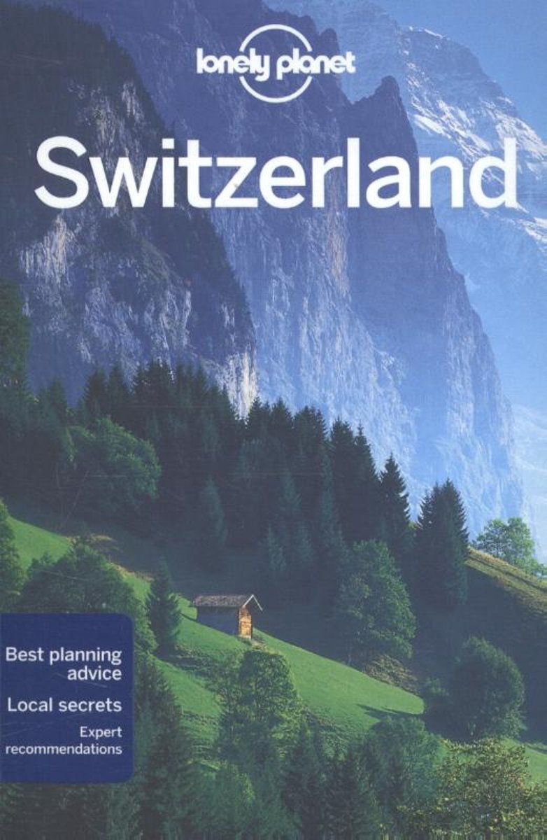
- Lonely Planet Switzerland
- Lonely Planet: The world's leading travel guide publisher Lonely Planet Switzerland is your passport to the most relevant, up-to-date advice on what to see and skip, and what hidden discoveries await you. Ski through fresh powder in the Swiss Alps, listen to cowbells while enjoying a picnic in a mountain meadow, or feast on fondue in Gruyeres;... Read more
- Also available from:
- Bol.com, Belgium
Bol.com
Belgium
2015
Belgium
2015
- Lonely Planet Switzerland
- Lonely Planet: The world's leading travel guide publisher Lonely Planet Switzerland is your passport to the most relevant, up-to-date advice on what to see and skip, and what hidden discoveries await you. Ski through fresh powder in the Swiss Alps, listen to cowbells while enjoying a picnic in a mountain meadow, or feast on fondue in Gruyeres;... Read more
Maps

Stanfords
United Kingdom
United Kingdom
- Transrhodopi - Long distance hiking and biking trail From Trigrad to Ivaylovgrad
- Western Rhodope Mountains at 1:100,000 on a contoured GPS compatible map from Domino extending from just west of the Pirin National Park to Asenovgrad in the north-east. The map is double-sided with a good overlap between the sides. Topography is shown by contours at 50m intervals with relief shading and spot heights, plus colouring for... Read more

Stanfords
United Kingdom
United Kingdom
- Kerry - Cork - Limerick OSI Discovery 72
- Map No. 72, Kerry North-East - Cork North-West - Limerick South-West in the Discovery series from the OSI, the Ordnance Survey of Ireland, which presents the country on detailed topographic maps at 1:50,000, with additional overprint highlighting campsites and caravan parks, youth hostels, etc. Current 4th edition of this map was published in... Read more

Stanfords
United Kingdom
United Kingdom
- Clare - Galway OSI Discovery 51
- Map No. 51, Clare North - Aran Islands in the Discovery series from the OSI, the Ordnance Survey of Ireland, which presents the country on detailed topographic maps at 1:50,000, with additional overprint highlighting campsites and caravan parks, youth hostels, etc. Current 5th edition of this map was published in 2015.Maps in the Discovery... Read more

Stanfords
United Kingdom
United Kingdom
- Kerry (Dingle) OSI Discovery 70
- Map No. 70, Kerry: Dingle Peninsula in the Discovery series from the OSI, the Ordnance Survey of Ireland, which presents the country on detailed topographic maps at 1:50,000, with additional overprint highlighting campsites and caravan parks, youth hostels, etc. Current 5th edition of this map was published in summer 2015.Maps in the Discovery... Read more
Stanfords
United Kingdom
United Kingdom
- Clare OSI Discovery 57
- Map No. 57, Clare Central-West in the Discovery series from the OSI, the Ordnance Survey of Ireland, which presents the country on detailed topographic maps at 1:50,000, with additional overprint highlighting campsites and caravan parks, youth hostels, etc. Current 4th edition of this map was published in January 2013.Maps in the Discovery... Read more

Stanfords
United Kingdom
United Kingdom
- Kerry OSI Discovery 78
- Map No. 78, Kerry Central in the Discovery series from the OSI, the Ordnance Survey of Ireland, which presents the country on detailed topographic maps at 1:50,000, with additional overprint highlighting campsites and caravan parks, youth hostels, etc. Current 5th edition of this map was published in spring 2015.Maps in the Discovery series... Read more
Stanfords
United Kingdom
United Kingdom
- Clare - Limerick - Tipperary OSI Discovery 65
- Map No. 65, Limerick North-East in the Discovery series from the OSI, the Ordnance Survey of Ireland, which presents the country on detailed topographic maps at 1:50,000, with additional overprint highlighting campsites and caravan parks, youth hostels, etc. Current 4th edition of this title was published in January 2013.Maps in the Discovery... Read more

Stanfords
United Kingdom
United Kingdom
- Kerry OSI Discovery 78 WATERPROOF
- Map No. 78, Kerry Central - waterprooof and tear-resistant version - in the Discovery series from the OSI, the Ordnance Survey of Ireland, which presents the country on detailed topographic maps at 1:50,000, with additional overprint highlighting campsites and caravan parks, youth hostels, etc. Current 5th edition of this map was published in... Read more
Stanfords
United Kingdom
United Kingdom
- Cork Central OSI Discovery 80
- Map No. 80, Cork Central in the Discovery series from the OSI, the Ordnance Survey of Ireland, which presents the country on detailed topographic maps at 1:50,000, with additional overprint highlighting campsites and caravan parks, youth hostels, etc. Current 4th edition of this map was published in January 2013.Maps in the Discovery series... Read more
Stanfords
United Kingdom
United Kingdom
- Kerry OSI Discovery 83
- Map No. 83, Kerry South-West in the Discovery series from the OSI, the Ordnance Survey of Ireland, which presents the country on detailed topographic maps at 1:50,000, with additional overprint highlighting campsites and caravan parks, youth hostels, etc. Current 4th edition of this map was published in July 2010.Maps in the Discovery series... Read more
Stanfords
United Kingdom
United Kingdom
- Cork S OSI Discovery 87
- Map No. 87, Cork South-Central in the Discovery series from the OSI, the Ordnance Survey of Ireland, which presents the country on detailed topographic maps at 1:50,000, with additional overprint highlighting campsites and caravan parks, youth hostels, etc. Current 4th edition of this map was published in February 2013.Maps in the Discovery... Read more

Stanfords
United Kingdom
United Kingdom
- MacGillycuddy`s Reeks and Killarney National Park OSI Adventure Map
- Macgillycuddy`s Reeks and the Killarney National Park on a double-sided, GPS compatible map at 1:25,000 from the Ordnance Survey Ireland with cartography of the country’s topographic survey, plus the central part of the Reeks at 1:12,500. Coverage extends from Killarney westwards to Lough Caragh. Where appropriate place names are given in both... Read more

Stanfords
United Kingdom
United Kingdom
- Cork SW OSI Discovery 88
- Map No. 88, Cork South-West in the Discovery series from the OSI, the Ordnance Survey of Ireland, which presents the country on detailed topographic maps at 1:50,000, with additional overprint highlighting campsites and caravan parks, youth hostels, etc. Current 4th edition of this map was published in July 2010.Maps in the Discovery series... Read more

Stanfords
United Kingdom
United Kingdom
- Pirin Mountains Domino
- Pirin Mountains at 1:50,000 on a large, double-sided, contoured map with GPS waypoints for shelters and chalets, peaks, etc. and highlighting hiking routes. Topography is shown by contours at 40m intervals with additional relief shading and graphics and colouring for sandstone stacks, single rocks over 5m high, marshlands and different types of... Read more
- Also available from:
- De Zwerver, Netherlands

De Zwerver
Netherlands
Netherlands
- Wandelkaart 6 Pirin gebergte | Domino
- Pirin Mountains at 1:50,000 on a large, double-sided, contoured map with GPS waypoints for shelters and chalets, peaks, etc. and highlighting hiking routes. Topography is shown by contours at 40m intervals with additional relief shading and graphics and colouring for sandstone stacks, single rocks over 5m high, marshlands and different types of... Read more
De Zwerver
Netherlands
Netherlands
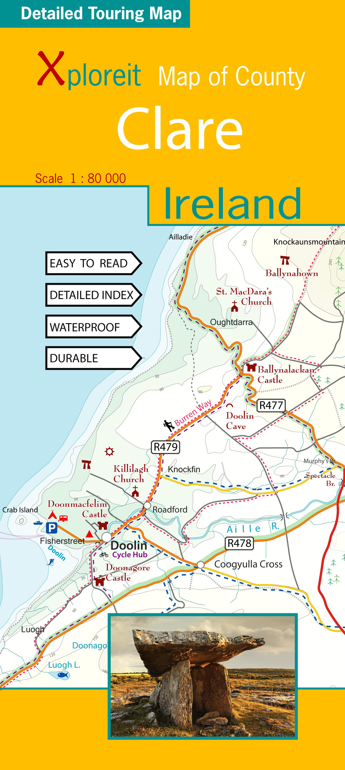
- Wegenkaart - landkaart - Fietskaart Clare (Ierland) | Xploreit Maps
- Xploreit Map of County Clare, Ireland ab 14.99 EURO 2 Rev ed Read more