
Cork
Description

County Cork is one of the largests Counties in Ireland. It borders on county Kerry and the Atlantic, and the hills and peninsulas in the south west are great for walking.
Trails in this state
Links
Facts
Reports
Guides and maps
Lodging
Organisations
Tour operators
GPS
Other
Books

Stanfords
United Kingdom
2021
United Kingdom
2021
- DK Eyewitness Road Trips Ireland
- With its unspoiled coastline, dramatic ruins and picturesque villages, Ireland is the perfect destination for a leisurely road trip. It`s yours to explore with Road Trips Ireland, which contains 24 amazing drives across the country, from the majestic Ring of Kerry to the extraordinary Giant`s Causeway.Packed with insider tips and information,... Read more

Stanfords
United Kingdom
2020
United Kingdom
2020
- Insight Guides Explore Ireland (Travel Guide with Free eBook)
- Insight Guides Explore IrelandTravel made easy. Ask local experts. Focused travel guide featuring the very best routes and itineraries, now with free eBook.Discover the best of Ireland with this unique travel guide, packed full of insider information and stunning images. From making sure you don`t miss out on must-see, top attractions like... Read more

Stanfords
United Kingdom
United Kingdom
- The Wild Atlantic Way Route Atlas - Ireland West
- The Wild Atlantic Way is a 25,000 kilometre coastal route along Ireland’s Atlantic coast that stretches between the southerly point of Kinsale, County Cork up to Derry. This route is favoured by many in its entirety or broken down into more manageable, day trip sections. This Xploreit handy sized spiral bound route atlas contains 30 easy-to-use... Read more

Stanfords
United Kingdom
United Kingdom
- DK Eyewitness Travel Guide Ireland
- DK Eyewitness travel guides: award-winning guidebooksDiscover Ireland with this essential travel guide to this great island, designed to help you create your own unique trip and to transport you there before you`ve even packed your case - step back in time at Newgrange and other ancient sites across the country, explore the legendary Giant`s... Read more

Stanfords
United Kingdom
United Kingdom
- DK Eyewitness Ireland
- Small but spectacular, the Emerald Isle dazzles from coast to coast.Whether you`re seeking the surreal beauty of the Giant`s Causeway, the historic halls of Trinity College or the perfect pub to enjoy a pint of Guinness, your DK Eyewitness travel guide makes sure you experience all that Ireland has to offer.Small but spectacular, the Emerald... Read more

Stanfords
United Kingdom
United Kingdom
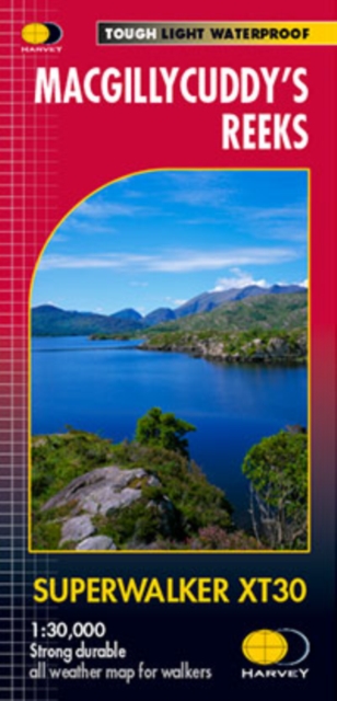
- MacGillycuddy`s Reeks Harvey Superwalker XT30
- Includes the whole of the Killarney National Park.Detailed map for hillwalkers of MacGillycuddy`s Reeks at 1:30,000 scale.Summit enlargement of Carrauntoohil at 1:15,000.Shows tracks, paths and cliffs in detail. As used by Mountain Rescue Ireland.PLEASE NOTE: this title is also available as a pocket-size Ultramap with its scale reduced to... Read more

- Also available from:
- De Zwerver, Netherlands

Stanfords
United Kingdom
United Kingdom
- Moon Ireland (Third Edition): Castles, Cliffs, and Lively Local Spots
- From its stirring legends to its stunning landscapes, Ireland is a living, breathing fairy-tale. Ignite your imagination with Moon Ireland. Inside you`ll find:*Flexible itineraries from a two-week ”Best of Ireland” adventure or a weekend in Dublin to 3-day tours of southern, northern, and coastal Ireland that can be combined into a longer... Read more
- Also available from:
- The Book Depository, United Kingdom

The Book Depository
United Kingdom
United Kingdom
- Moon Ireland (Third Edition)
- Castles, Cliffs, and Lively Local Spots Read more
Bol.com
Netherlands
Netherlands
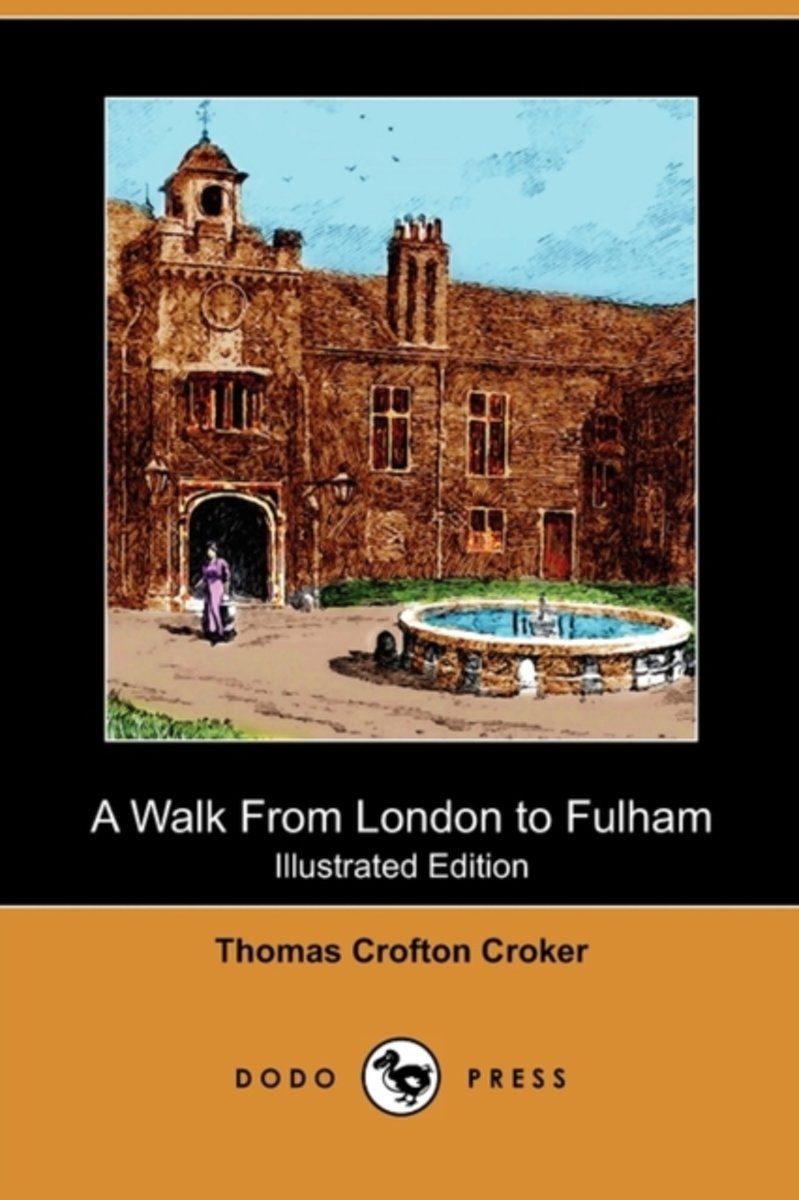
- A Walk from London to Fulham (Illustrated Edition) (Dodo Press)
- Thomas Crofton Croker (1798-1854), was an Irish antiquary, born at Cork. For some years, he held a position in the Admiralty, where his distant relative, John Wilson Croker, was his superior. Croker devoted himself largely to the collection of ancient Irish poetry and Irish folklore. He assisted in founding the Percy Society and the Camden... Read more
- Also available from:
- Bol.com, Belgium
Bol.com
Belgium
Belgium
- A Walk from London to Fulham (Illustrated Edition) (Dodo Press)
- Thomas Crofton Croker (1798-1854), was an Irish antiquary, born at Cork. For some years, he held a position in the Admiralty, where his distant relative, John Wilson Croker, was his superior. Croker devoted himself largely to the collection of ancient Irish poetry and Irish folklore. He assisted in founding the Percy Society and the Camden... Read more
Bol.com
Netherlands
2004
Netherlands
2004
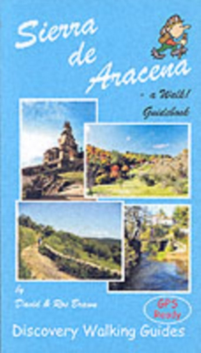
- Sierra de Aracena - a Walk! Guidebook
- A hundred kilometres northwest of Seville lies a region of truly unspoilt rural Spain. Once a province of Portugal the Sierra de Aracena encapsulates almost everything that we look for as the idyllic walking destination; rural beauty in flora and fauna, breathtaking landscapes, unspoilt towns and villages linked by old donkey trails. All it... Read more
- Also available from:
- Bol.com, Belgium
- De Zwerver, Netherlands
Bol.com
Belgium
2004
Belgium
2004
- Sierra de Aracena - a Walk! Guidebook
- A hundred kilometres northwest of Seville lies a region of truly unspoilt rural Spain. Once a province of Portugal the Sierra de Aracena encapsulates almost everything that we look for as the idyllic walking destination; rural beauty in flora and fauna, breathtaking landscapes, unspoilt towns and villages linked by old donkey trails. All it... Read more
De Zwerver
Netherlands
2004
Netherlands
2004
- Wandelgids Walk! Sierra de Aracena | Discovery Walking Guides
- Walk Sierra de Aracena is David and Ros Brawn’s Discovery Walking Guide that explores the best walking routes in this popular area of Andalucia. The guide covers a range of walks including routes in areas such as Fuentehridos, Alajar, the Castano del Robledo Circuit and Ribeira de Jabugo. The routes range from strolls through rural countryside,... Read more
Bol.com
Netherlands
Netherlands
- Ireland
- This comprehensive guide covers all the regions of Ireland--from the raw, rocky coastline of County Cork and the vibrant city of Belfast to the wild mountain scenery of Connacht and the windswept Arran islands. The guide captures the contrasts at the heart of modern Ireland--a place that offers a lively cultural scene and all the luxuries the... Read more
- Also available from:
- Bol.com, Belgium
Bol.com
Belgium
Belgium
- Ireland
- This comprehensive guide covers all the regions of Ireland--from the raw, rocky coastline of County Cork and the vibrant city of Belfast to the wild mountain scenery of Connacht and the windswept Arran islands. The guide captures the contrasts at the heart of modern Ireland--a place that offers a lively cultural scene and all the luxuries the... Read more
De Zwerver
Netherlands
2020
Netherlands
2020
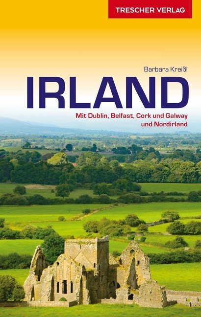
- Reisgids Reiseführer Irland - Ierland | Trescher Verlag
- Reiseführer Irland ab 18.95 EURO Mit Dublin, Belfast, Cork, Galway und Nordirland Trescher-Reihe Reisen. 1. Auflage Read more
Bol.com
Netherlands
Netherlands
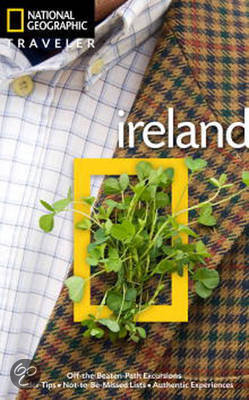
- National Geographic Traveler Ireland
- Author Christopher Somerville is the perfect guide to this picturesque country. He begins with Dublin, Ireland's cosmopolitan capital city, where reminders of the country's stirring history and rich culture adorn nearly every street corner. From there we head south, with highlights including County Kildare, capital of Irish horse racing; the... Read more
- Also available from:
- Bol.com, Belgium
Bol.com
Belgium
Belgium
- National Geographic Traveler Ireland
- Author Christopher Somerville is the perfect guide to this picturesque country. He begins with Dublin, Ireland's cosmopolitan capital city, where reminders of the country's stirring history and rich culture adorn nearly every street corner. From there we head south, with highlights including County Kildare, capital of Irish horse racing; the... Read more
De Zwerver
Netherlands
Netherlands
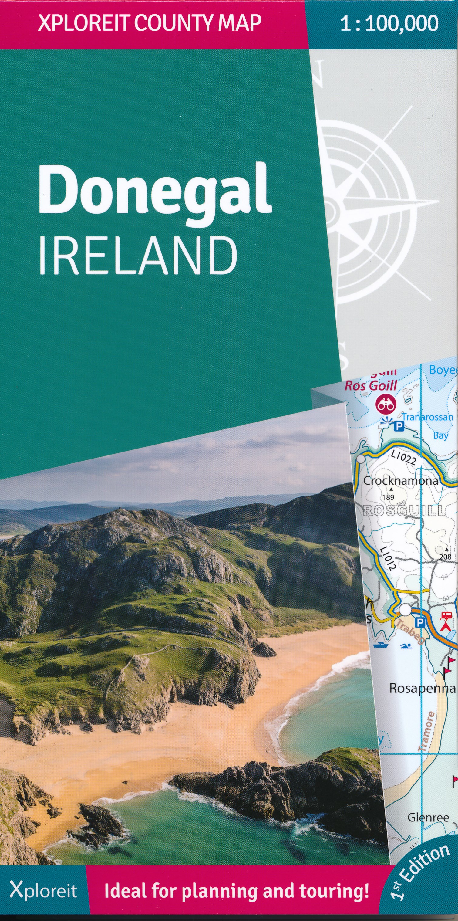
- Wegenkaart - landkaart - Fietskaart Donegal | Xploreit Maps
- Xploreit Maps is an Irish publisher of maps and atlases. The Xploreit County Series covers the western coastal counties in a set of double-sided maps ranging from County Cork in the southwest to County Donegal in the northwest. This map of County Donegal highlights local and long distance walking trails, cycle routes and scenic drives. The road... Read more
Bol.com
Netherlands
2011
Netherlands
2011
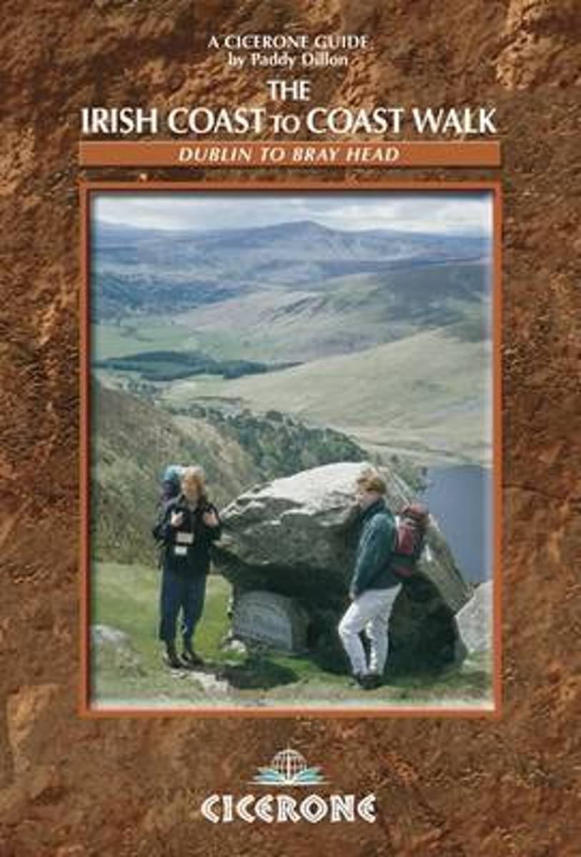
- The Irish Coast To Coast Walk
- The Coast to Coast route through Ireland, from Dublin to the Atlantic coast, passes through glorious mountain and river country, and offers an opportunity to discover the heart of the Emerald Isle. The walk links several waymarked routes - the Wicklow Way, South Leinster Way, East Munster Way, Blackwater Way and the Kerry Way. Whether you... Read more
- Also available from:
- Bol.com, Belgium
Bol.com
Belgium
2011
Belgium
2011
- The Irish Coast To Coast Walk
- The Coast to Coast route through Ireland, from Dublin to the Atlantic coast, passes through glorious mountain and river country, and offers an opportunity to discover the heart of the Emerald Isle. The walk links several waymarked routes - the Wicklow Way, South Leinster Way, East Munster Way, Blackwater Way and the Kerry Way. Whether you... Read more
Maps

Stanfords
United Kingdom
United Kingdom
- Kerry (Dingle) OSI Discovery 70
- Map No. 70, Kerry: Dingle Peninsula in the Discovery series from the OSI, the Ordnance Survey of Ireland, which presents the country on detailed topographic maps at 1:50,000, with additional overprint highlighting campsites and caravan parks, youth hostels, etc. Current 5th edition of this map was published in summer 2015.Maps in the Discovery... Read more

Stanfords
United Kingdom
United Kingdom
- Kerry OSI Discovery 78
- Map No. 78, Kerry Central in the Discovery series from the OSI, the Ordnance Survey of Ireland, which presents the country on detailed topographic maps at 1:50,000, with additional overprint highlighting campsites and caravan parks, youth hostels, etc. Current 5th edition of this map was published in spring 2015.Maps in the Discovery series... Read more

Stanfords
United Kingdom
United Kingdom
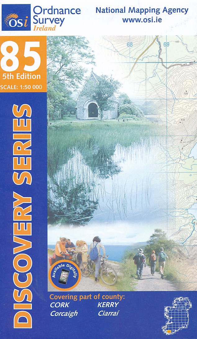
- Kerry OSI Discovery 83
- Map No. 83, Kerry South-West in the Discovery series from the OSI, the Ordnance Survey of Ireland, which presents the country on detailed topographic maps at 1:50,000, with additional overprint highlighting campsites and caravan parks, youth hostels, etc. Current 4th edition of this map was published in July 2010.Maps in the Discovery series... Read more
Stanfords
United Kingdom
United Kingdom
- Kerry - Cork - Limerick OSI Discovery 72
- Map No. 72, Kerry North-East - Cork North-West - Limerick South-West in the Discovery series from the OSI, the Ordnance Survey of Ireland, which presents the country on detailed topographic maps at 1:50,000, with additional overprint highlighting campsites and caravan parks, youth hostels, etc. Current 4th edition of this map was published in... Read more

Stanfords
United Kingdom
United Kingdom
- Transrhodopi - Long distance hiking and biking trail From Trigrad to Ivaylovgrad
- Western Rhodope Mountains at 1:100,000 on a contoured GPS compatible map from Domino extending from just west of the Pirin National Park to Asenovgrad in the north-east. The map is double-sided with a good overlap between the sides. Topography is shown by contours at 50m intervals with relief shading and spot heights, plus colouring for... Read more
Stanfords
United Kingdom
United Kingdom
- Cork Central OSI Discovery 80
- Map No. 80, Cork Central in the Discovery series from the OSI, the Ordnance Survey of Ireland, which presents the country on detailed topographic maps at 1:50,000, with additional overprint highlighting campsites and caravan parks, youth hostels, etc. Current 4th edition of this map was published in January 2013.Maps in the Discovery series... Read more

Stanfords
United Kingdom
United Kingdom
- Clare - Galway OSI Discovery 51
- Map No. 51, Clare North - Aran Islands in the Discovery series from the OSI, the Ordnance Survey of Ireland, which presents the country on detailed topographic maps at 1:50,000, with additional overprint highlighting campsites and caravan parks, youth hostels, etc. Current 5th edition of this map was published in 2015.Maps in the Discovery... Read more
Stanfords
United Kingdom
United Kingdom
- Cork S OSI Discovery 87
- Map No. 87, Cork South-Central in the Discovery series from the OSI, the Ordnance Survey of Ireland, which presents the country on detailed topographic maps at 1:50,000, with additional overprint highlighting campsites and caravan parks, youth hostels, etc. Current 4th edition of this map was published in February 2013.Maps in the Discovery... Read more
Stanfords
United Kingdom
United Kingdom
- Clare OSI Discovery 57
- Map No. 57, Clare Central-West in the Discovery series from the OSI, the Ordnance Survey of Ireland, which presents the country on detailed topographic maps at 1:50,000, with additional overprint highlighting campsites and caravan parks, youth hostels, etc. Current 4th edition of this map was published in January 2013.Maps in the Discovery... Read more

Stanfords
United Kingdom
United Kingdom
- Cork SW OSI Discovery 88
- Map No. 88, Cork South-West in the Discovery series from the OSI, the Ordnance Survey of Ireland, which presents the country on detailed topographic maps at 1:50,000, with additional overprint highlighting campsites and caravan parks, youth hostels, etc. Current 4th edition of this map was published in July 2010.Maps in the Discovery series... Read more
Stanfords
United Kingdom
United Kingdom
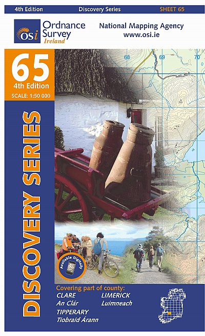
- Clare - Limerick - Tipperary OSI Discovery 65
- Map No. 65, Limerick North-East in the Discovery series from the OSI, the Ordnance Survey of Ireland, which presents the country on detailed topographic maps at 1:50,000, with additional overprint highlighting campsites and caravan parks, youth hostels, etc. Current 4th edition of this title was published in January 2013.Maps in the Discovery... Read more
Ordnance Survey
United Kingdom
United Kingdom
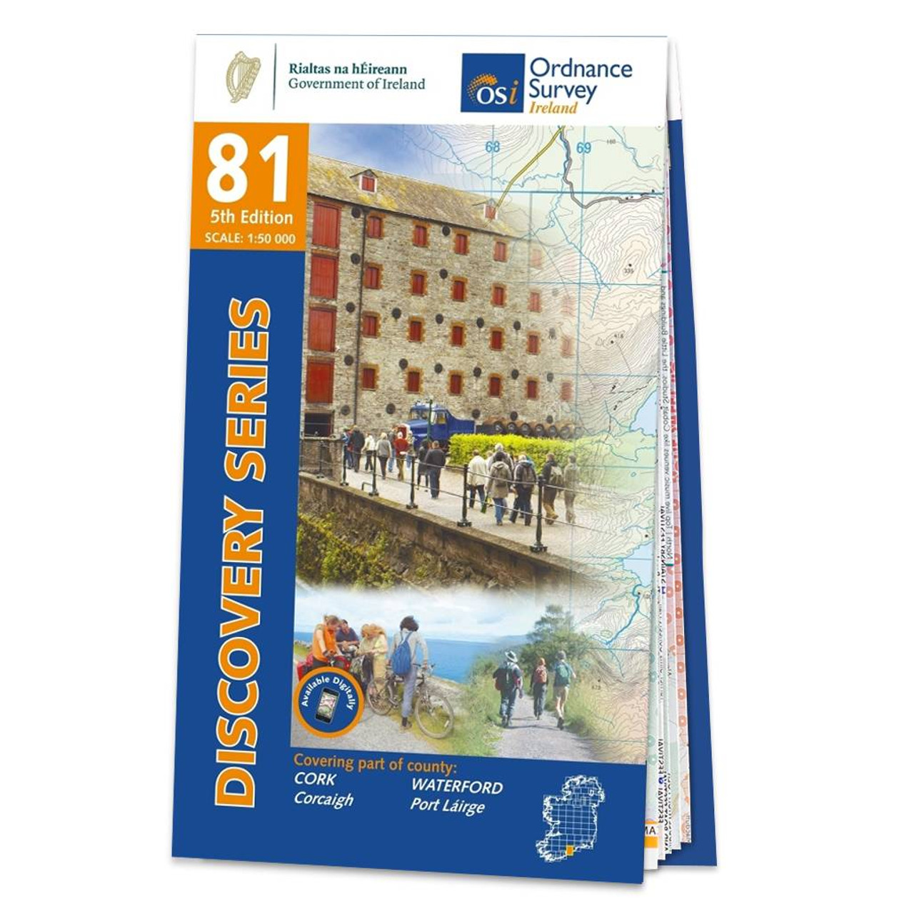
- Ordnance Survey Ireland Map of County Cork and Waterford: OSI Discovery 81
- OSI Discovery Sheet No. 81 covers part of County Cork and Waterford at a 1:50 000 scale and is designed for all sorts of leisure activities including walking, cycling and tourism. Features shown on the Discovery series include walking trails, cycle routes, forest parks and nature reserves. There is also tourist information such as... Read more

Stanfords
United Kingdom
United Kingdom
- Pirin Mountains Domino
- Pirin Mountains at 1:50,000 on a large, double-sided, contoured map with GPS waypoints for shelters and chalets, peaks, etc. and highlighting hiking routes. Topography is shown by contours at 40m intervals with additional relief shading and graphics and colouring for sandstone stacks, single rocks over 5m high, marshlands and different types of... Read more
- Also available from:
- De Zwerver, Netherlands

De Zwerver
Netherlands
Netherlands
- Wandelkaart 6 Pirin gebergte | Domino
- Pirin Mountains at 1:50,000 on a large, double-sided, contoured map with GPS waypoints for shelters and chalets, peaks, etc. and highlighting hiking routes. Topography is shown by contours at 40m intervals with additional relief shading and graphics and colouring for sandstone stacks, single rocks over 5m high, marshlands and different types of... Read more