Donegal
Description
Trails in this state
Links
Facts
Reports
Guides and maps
Lodging
Organisations
Tour operators
GPS
Other
Books

Stanfords
United Kingdom
United Kingdom
- The Wild Atlantic Way Route Atlas - Ireland West
- The Wild Atlantic Way is a 25,000 kilometre coastal route along Ireland’s Atlantic coast that stretches between the southerly point of Kinsale, County Cork up to Derry. This route is favoured by many in its entirety or broken down into more manageable, day trip sections. This Xploreit handy sized spiral bound route atlas contains 30 easy-to-use... Read more

Stanfords
United Kingdom
United Kingdom
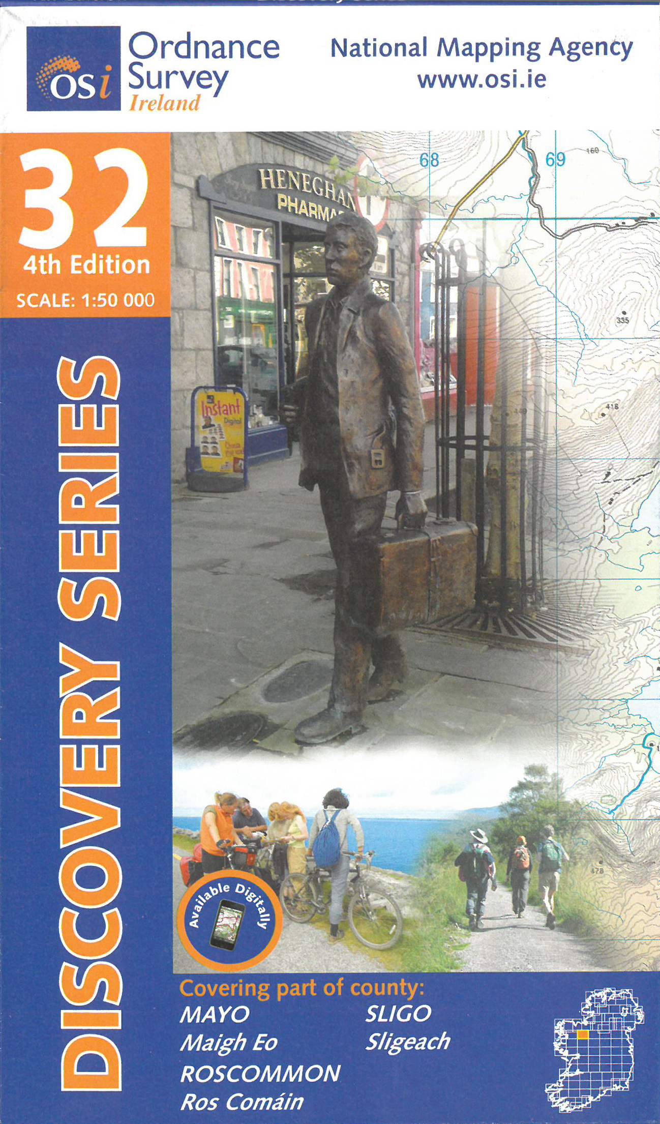
- Mayo - Roscommon - Sligo OSI Discovery 32
- Map No. 32, Mayo North-East - Sligo South - Roscommon North-West, in the Discovery series from the OSI, the Ordnance Survey of Ireland, which presents the country on detailed topographic maps at 1:50,000, with additional overprint highlighting campsites and caravan parks, youth hostels, etc. Current 3rd edition of this title was published in... Read more
- Also available from:
- The Book Depository, United Kingdom
- De Zwerver, Netherlands
» Click to close
Bol.com
Netherlands
Netherlands
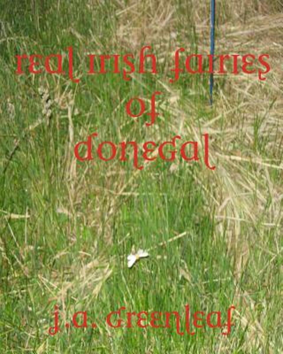
- Real Irish Fairies of Donegal
- June 21, 2003--the Vernal Equinox--author J.A. Greenleaf and his Kerry Blue Terrier, Murphy, are alone in his cottage located at the very top of Ireland, at Malin Head. Near midnight, on a very dark night, he decides to go outdoors and walk Murphy. To his great surprise and amazement, there are about thirty winged creatures, about the size of... Read more
- Also available from:
- Bol.com, Belgium

Bol.com
Belgium
Belgium
- Real Irish Fairies of Donegal
- June 21, 2003--the Vernal Equinox--author J.A. Greenleaf and his Kerry Blue Terrier, Murphy, are alone in his cottage located at the very top of Ireland, at Malin Head. Near midnight, on a very dark night, he decides to go outdoors and walk Murphy. To his great surprise and amazement, there are about thirty winged creatures, about the size of... Read more

Bol.com
Netherlands
2018
Netherlands
2018
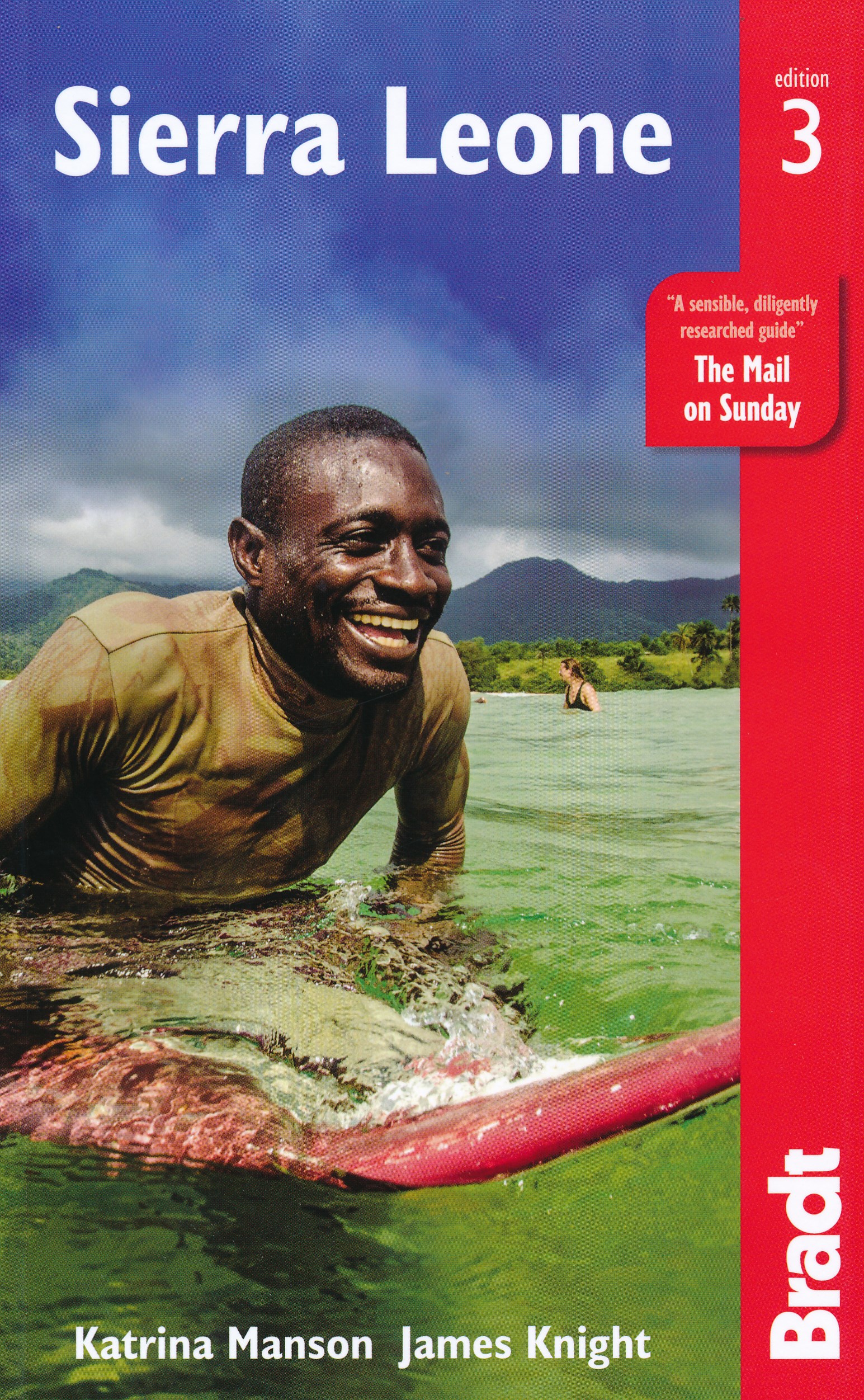
- Sierra Leone
- This new, thoroughly updated third edition of Bradt's Sierra Leone remains the only English-language guide dedicated to this unique West African destination, one of only three countries where the uber-elusive pygmy hippo can be found and where coastal mountains and sheltered beaches are the stuff of daydreams and postcards. With Bradt's Sierra... Read more
- Also available from:
- Bol.com, Belgium
- De Zwerver, Netherlands

Bol.com
Belgium
2018
Belgium
2018
- Sierra Leone
- This new, thoroughly updated third edition of Bradt's Sierra Leone remains the only English-language guide dedicated to this unique West African destination, one of only three countries where the uber-elusive pygmy hippo can be found and where coastal mountains and sheltered beaches are the stuff of daydreams and postcards. With Bradt's Sierra... Read more
De Zwerver
Netherlands
2018
Netherlands
2018
- Reisgids Sierra Leone | Bradt Travel Guides
- Voor vele landen net zo goed, zo niet beter dan de Planet. Beduidend soberder uitgevoerd, maar ook met veel informatie voor backpackers en met veel kaartmateriaal. Een aanrader! This new, thoroughly updated third edition of Bradt's Sierra Leone remains the only English-language guide dedicated to this unique West African destination, one of... Read more

Bol.com
Netherlands
Netherlands
- Living in Ireland
- The Irish way of life-- its music, food, beer, and literature-- has become a familiar export around the world in recent years.But as this delightful book shows nothing can replace the experience of real Irish landscapes discovered. The stunning scenery, elegant town houses, and variety of country manors all contribute to an Irish identity which... Read more
- Also available from:
- Bol.com, Belgium

Bol.com
Belgium
Belgium
- Living in Ireland
- The Irish way of life-- its music, food, beer, and literature-- has become a familiar export around the world in recent years.But as this delightful book shows nothing can replace the experience of real Irish landscapes discovered. The stunning scenery, elegant town houses, and variety of country manors all contribute to an Irish identity which... Read more
Bol.com
Netherlands
Netherlands
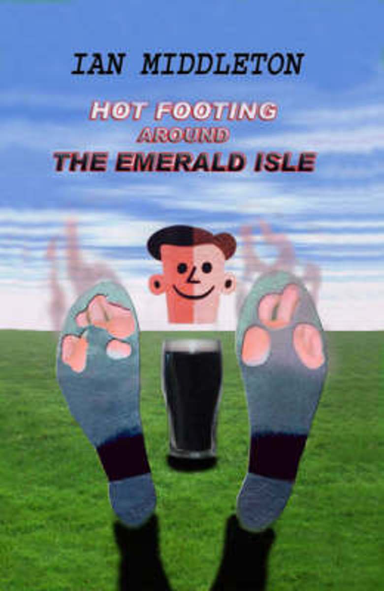
- Hot Footing Around the Emerald Isle
- Ian was more than a little apprehensive when his turn came to kiss the Blarney Stone. Not only had they just met, but it seemed this stone wasn't at all fussy as to who it allowed to kiss it. Kissing the Blarney Stone is Ireland's third most popular tourist attraction, so as well as the moral implications there were the hygienic implications... Read more
- Also available from:
- Bol.com, Belgium

Bol.com
Belgium
Belgium
- Hot Footing Around the Emerald Isle
- Ian was more than a little apprehensive when his turn came to kiss the Blarney Stone. Not only had they just met, but it seemed this stone wasn't at all fussy as to who it allowed to kiss it. Kissing the Blarney Stone is Ireland's third most popular tourist attraction, so as well as the moral implications there were the hygienic implications... Read more

De Zwerver
Netherlands
Netherlands
- Wegenkaart - landkaart - Fietskaart Donegal | Xploreit Maps
- Xploreit Maps is an Irish publisher of maps and atlases. The Xploreit County Series covers the western coastal counties in a set of double-sided maps ranging from County Cork in the southwest to County Donegal in the northwest. This map of County Donegal highlights local and long distance walking trails, cycle routes and scenic drives. The road... Read more
Bol.com
Netherlands
Netherlands
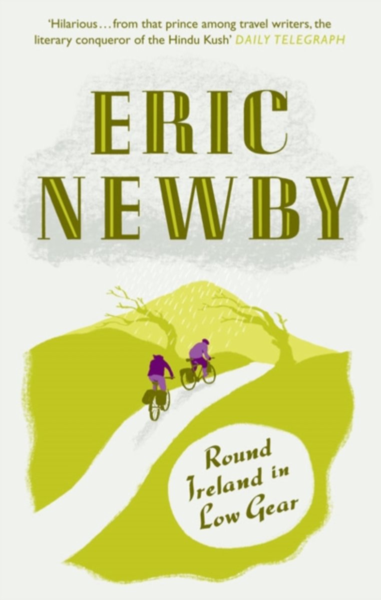
- Round Ireland in Low Gear
- 'You've had some pretty crazy ideas in your life, Newby, but this is the craziest.' Grandmother Wanda Newby was exasperated after continuous rain, snow, and gales that knocked from her bike. Twice. To avoid other tourists, Eric Newby had decided that the depths of winter would be the very best time to explore Ireland by mountain bike. More... Read more
- Also available from:
- Bol.com, Belgium

Bol.com
Belgium
Belgium
- Round Ireland in Low Gear
- 'You've had some pretty crazy ideas in your life, Newby, but this is the craziest.' Grandmother Wanda Newby was exasperated after continuous rain, snow, and gales that knocked from her bike. Twice. To avoid other tourists, Eric Newby had decided that the depths of winter would be the very best time to explore Ireland by mountain bike. More... Read more
Bol.com
Netherlands
Netherlands
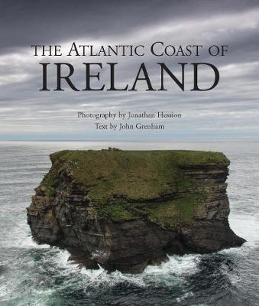
- The Atlantic Coast of Ireland
- Visiting the entire length of Ireland' s wild Atlantic coast, from the sublime scale of seascape and mountain-scape in Donegal through the barren limestone of West Clare to the lush, quasitropical mountains of the south-west, The Atlantic Coast of Ireland records the landscape in beautiful detail and recounts the stories that echo through... Read more
- Also available from:
- Bol.com, Belgium

Bol.com
Belgium
Belgium
- The Atlantic Coast of Ireland
- Visiting the entire length of Ireland' s wild Atlantic coast, from the sublime scale of seascape and mountain-scape in Donegal through the barren limestone of West Clare to the lush, quasitropical mountains of the south-west, The Atlantic Coast of Ireland records the landscape in beautiful detail and recounts the stories that echo through... Read more
Bol.com
Netherlands
2013
Netherlands
2013
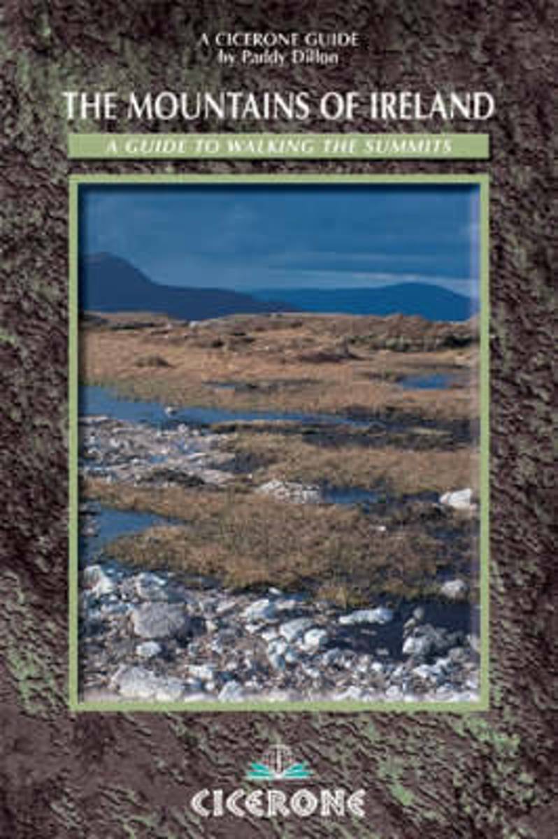
- The Mountains of Ireland
- A comprehensive guide, now the classic guide, to Ireland's 200 summits of 2000ft or more and to the 12 peaks exceeding 3000ft. The mountains are described clockwise from Wicklow to the Mournes, and offer a choice of 70 walking routes. The guide divides the peaks into 5 groups, and at the start of each is described 'Paddy's Way' - the way the... Read more
- Also available from:
- Bol.com, Belgium

Bol.com
Belgium
2013
Belgium
2013
- The Mountains of Ireland
- A comprehensive guide, now the classic guide, to Ireland's 200 summits of 2000ft or more and to the 12 peaks exceeding 3000ft. The mountains are described clockwise from Wicklow to the Mournes, and offer a choice of 70 walking routes. The guide divides the peaks into 5 groups, and at the start of each is described 'Paddy's Way' - the way the... Read more
- Also available from:
- Bol.com, Netherlands
- Bol.com, Belgium
- De Zwerver, Netherlands
Bol.com
Netherlands
2012
Netherlands
2012
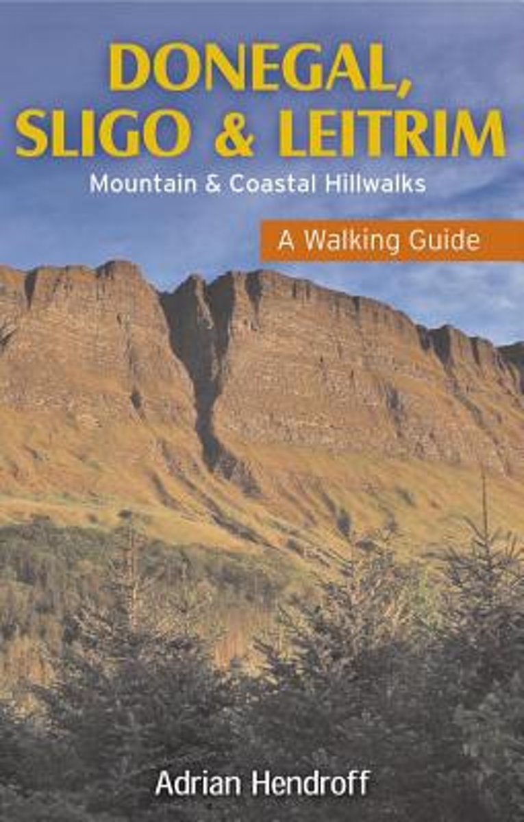
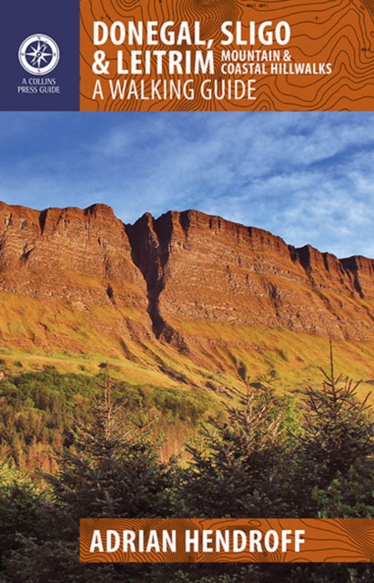
- Donegal, Sligo & Leitrim
- The northwest of Ireland provides a diversity of walks, from the wild, untamed landscape of Donegal to the gentler hills and green valleys of Sligo and Leitrim. This guidebook describes 27 walks of various grades, accompanied by quality photographs and specially drawn maps. Walk descriptions also include material on the rich natural history,... Read more

Bol.com
Belgium
2012
Belgium
2012
- Donegal, Sligo & Leitrim
- The northwest of Ireland provides a diversity of walks, from the wild, untamed landscape of Donegal to the gentler hills and green valleys of Sligo and Leitrim. This guidebook describes 27 walks of various grades, accompanied by quality photographs and specially drawn maps. Walk descriptions also include material on the rich natural history,... Read more
De Zwerver
Netherlands
2012
Netherlands
2012
- Wandelgids Donegal, Sligo & Leitrim | The Collins Press
- The northwest of Ireland provides a diversity of walks, from the wild, untamed landscape of Donegal, with its mountains, sea-cliffs and glens, to the gentler hills, green valleys and picturesque escarpments of Sligo and Leitrim. This guidebook describes 30 walks of various grades in this fascinating part of Ireland that has inspired poets, and... Read more
Bol.com
Netherlands
Netherlands
- World Golf Games
- Tory Blake, member of the golf hall of fame and son of the legendary golfer Kelly Blake, has retired and is living a quiet life on his farm with his family. Suddenly, his world is turned upside down when he agrees to captain the World Golf Games. He finds that he must prove to the world again, that his decisions regarding the games are in the... Read more
- Also available from:
- Bol.com, Belgium
Bol.com
Belgium
Belgium
- World Golf Games
- Tory Blake, member of the golf hall of fame and son of the legendary golfer Kelly Blake, has retired and is living a quiet life on his farm with his family. Suddenly, his world is turned upside down when he agrees to captain the World Golf Games. He finds that he must prove to the world again, that his decisions regarding the games are in the... Read more
Bol.com
Netherlands
Netherlands
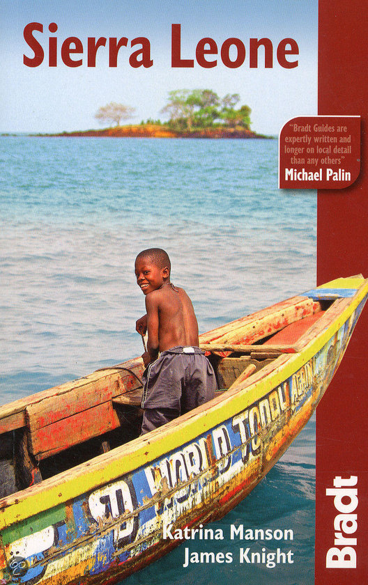
- The Bradt Travel Guide Sierra Leone
- This is the only guide, in any language, devoted solely to Sierra Leone. Armed conflict ended here in 2002; while still poor, the country is safe and offers tremendous opportunities for English-speaking travellers. This guide gives details and maps of its miles of palm-fringed beaches that are among the best in West Africa. It covers deep-sea... Read more
- Also available from:
- Bol.com, Belgium

Bol.com
Belgium
Belgium
- The Bradt Travel Guide Sierra Leone
- This is the only guide, in any language, devoted solely to Sierra Leone. Armed conflict ended here in 2002; while still poor, the country is safe and offers tremendous opportunities for English-speaking travellers. This guide gives details and maps of its miles of palm-fringed beaches that are among the best in West Africa. It covers deep-sea... Read more
Bol.com
Netherlands
Netherlands
- Sardinia Island Travel Guide
- Sardinia Island Travel Guide. Italy Vacation. Sardinia was love at first sight for me. No matter how often I return, I find new coastal trails to explore and mountains to climb, hidden bays to kayak to and little known agriturism tucked away in the silent hinterland. The island is deceptive it looks small on paper, but unravel it and it is... Read more
- Also available from:
- Bol.com, Belgium
Bol.com
Belgium
Belgium
- Sardinia Island Travel Guide
- Sardinia Island Travel Guide. Italy Vacation. Sardinia was love at first sight for me. No matter how often I return, I find new coastal trails to explore and mountains to climb, hidden bays to kayak to and little known agriturism tucked away in the silent hinterland. The island is deceptive it looks small on paper, but unravel it and it is... Read more
Maps

Stanfords
United Kingdom
United Kingdom
- Mayo SW - Galway NW OSI Discover 37
- Map No. 37, Mayo South-West - Galway North-West, in the Discovery series from the OSI, the Ordnance Survey of Ireland, which presents the country on detailed topographic maps at 1:50,000, with additional overprint highlighting campsites and caravan parks, youth hostels, etc. Current 5th edition of this title was published in summer 2015.Maps in... Read more

Stanfords
United Kingdom
United Kingdom
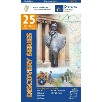
- Sligo - Leitrim - Roscommon OSI Discovery 25
- Map No. 25, Sligo Central in the Discovery series from the OSI, the Ordnance Survey of Ireland, which presents the country on detailed topographic maps at 1:50,000, with additional overprint highlighting campsites and caravan parks, youth hostels, etc. Current 4th edition of this title was published in September 2012.Maps in the Discovery... Read more
- Also available from:
- De Zwerver, Netherlands
De Zwerver
Netherlands
Netherlands
- Topografische kaart - Wandelkaart 25 Discovery Sligo, Leitrim, Roscommon | Ordnance Survey Ireland
- Map No. 25, Sligo Central in the Discovery series from the OSI, the Ordnance Survey of Ireland, which presents the country on detailed topographic maps at 1:50,000, with additional overprint highlighting campsites and caravan parks, youth hostels, etc. Current 4th edition of this title was published in September 2012.Maps in the Discovery... Read more

Stanfords
United Kingdom
United Kingdom
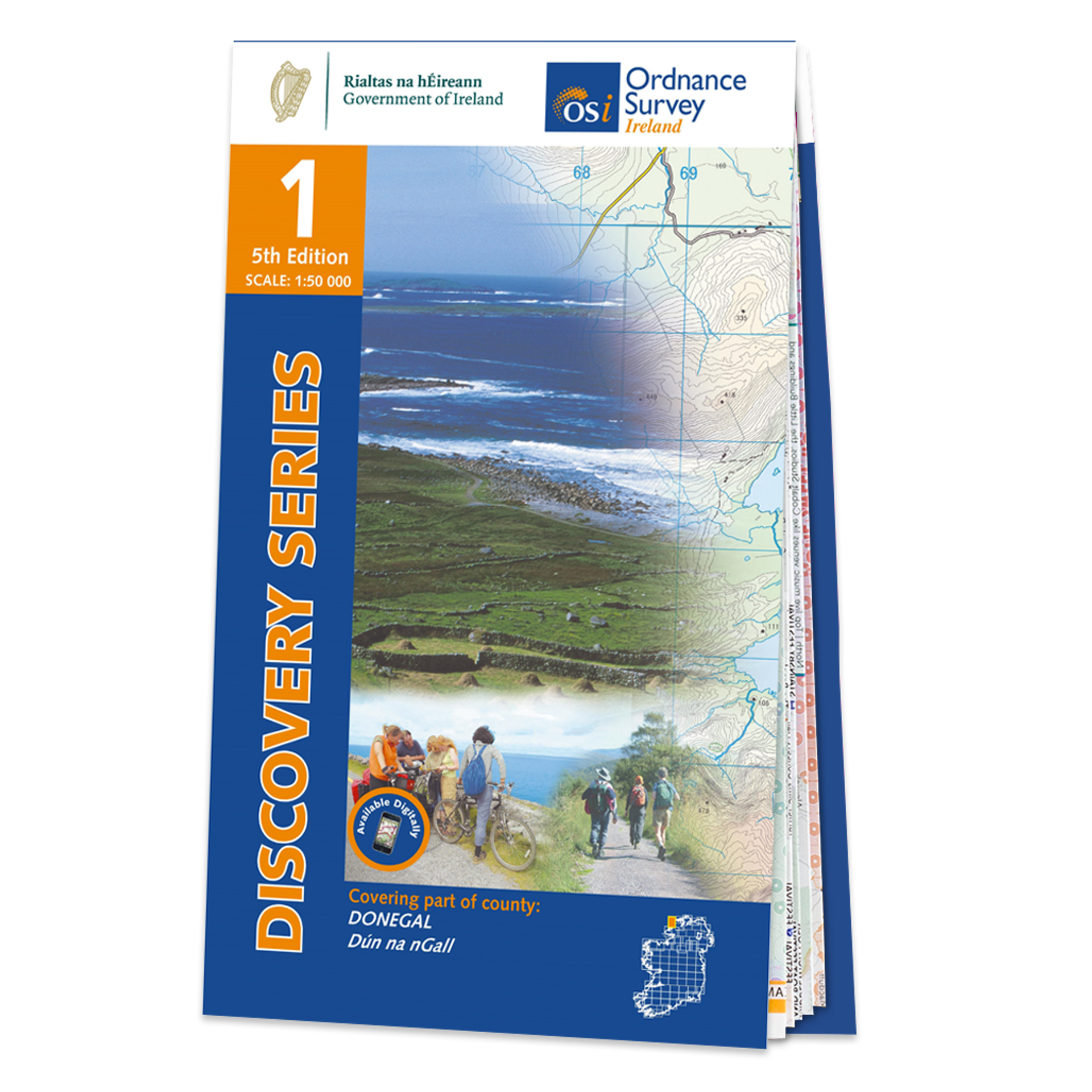
- Donegal - Tyrone OSI Discovery 6
- Map No. 6, Donegal Central in the Discovery series from the OSI, the Ordnance Survey of Ireland, which presents the country on detailed topographic maps at 1:50,000, with additional overprint highlighting campsites and caravan parks, youth hostels, etc. Current 4th edition of this title was publiched in September 2012.Maps in the Discovery... Read more

Stanfords
United Kingdom
United Kingdom
- Mayo and Sligo Xploreit Counties Map
- Counties Mayo and Sligo at 1:100,000 in a series of double-sided, GPS-compatible maps from Xploreit Maps, with contours, altitude colouring, hiking trails and cycling routes, and printed on light, waterproof and tear-resistant plastic paper. Insets show street plans of own centres of Sligo and Westport annotated with places of... Read more
- Also available from:
- De Zwerver, Netherlands

De Zwerver
Netherlands
Netherlands
- Wegenkaart - landkaart - Fietskaart Mayo en Sligo (Ierland) | Xploreit Maps
- Counties Mayo and Sligo at 1:100,000 in a series of double-sided, GPS-compatible maps from Xploreit Maps, with contours, altitude colouring, hiking trails and cycling routes, and printed on light, waterproof and tear-resistant plastic paper. Insets show street plans of own centres of Sligo and Westport annotated with places of... Read more

Stanfords
United Kingdom
United Kingdom
- Makalu Region Great Himalay Trail Map
- Makalu Region, map no. 102, at 1:100,000 on a waterproof and tear-resistant trekking map from the Himalayan MapHouse in their series covering the whole of northern Nepal. The map highlights main trekking routes from Tumlingtar northwards: the Makalu Base Camp Trek and the route to Kimathangka, a local route east of the town, plus the relevant... Read more

Stanfords
United Kingdom
United Kingdom
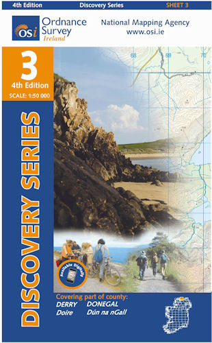
- Donegal NE OSI Discovery 3
- Map No. 3, Donegal North-East in the Discovery series from the OSI, the Ordnance Survey of Ireland, which presents the country on detailed topographic maps at 1:50,000, with additional overprint highlighting campsites and caravan parks, youth hostels, etc. Current 4th edition of this title was published in September 2012.Maps in the Discovery... Read more
- Also available from:
- De Zwerver, Netherlands
De Zwerver
Netherlands
Netherlands
- Topografische kaart - Wandelkaart 3 Discovery Donegal (NE), Derry | Ordnance Survey Ireland
- Map No. 3, Donegal North-East in the Discovery series from the OSI, the Ordnance Survey of Ireland, which presents the country on detailed topographic maps at 1:50,000, with additional overprint highlighting campsites and caravan parks, youth hostels, etc. Current 4th edition of this title was published in September 2012.Maps in the Discovery... Read more

Stanfords
United Kingdom
United Kingdom
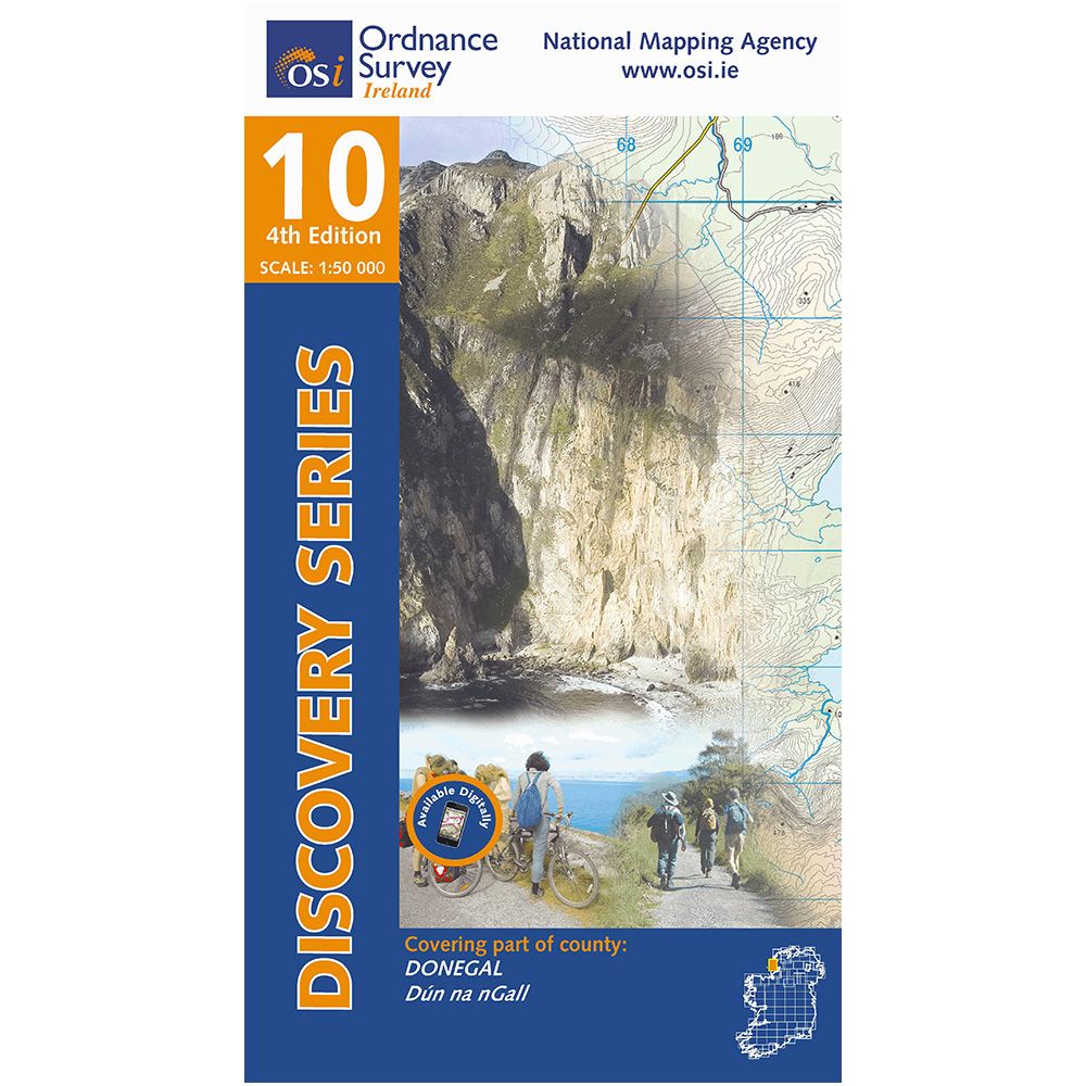
- Donegal SW OSI Discovery 10
- Map No. 10, Donegal South-West in the Discovery series from the OSI, the Ordnance Survey of Ireland, which presents the country on detailed topographic maps at 1:50,000, with additional overprint highlighting campsites and caravan parks, youth hostels, etc.Maps in the Discovery series have contours at 10m intervals, with plenty of spot heights... Read more
- Also available from:
- De Zwerver, Netherlands
De Zwerver
Netherlands
Netherlands
- Topografische kaart - Wandelkaart 10 Discovery Donegal (SW) | Ordnance Survey Ireland
- Map No. 10, Donegal South-West in the Discovery series from the OSI, the Ordnance Survey of Ireland, which presents the country on detailed topographic maps at 1:50,000, with additional overprint highlighting campsites and caravan parks, youth hostels, etc. Current 4th edition of this title was published in January 2012.Maps in the Discovery... Read more

Stanfords
United Kingdom
United Kingdom
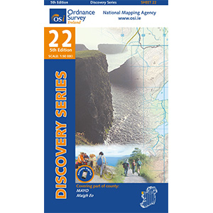
- Mayo NW OSI Discovery 22
- Map No. 22, Mayo North-East in the Discovery series from the OSI, the Ordnance Survey of Ireland, which presents the country on detailed topographic maps at 1:50,000, with additional overprint highlighting campsites and caravan parks, youth hostels, etc. Current 4th edition of this title was published in December 2010.Maps in the Discovery... Read more
- Also available from:
- De Zwerver, Netherlands
De Zwerver
Netherlands
Netherlands
- Topografische kaart - Wandelkaart 22 Discovery Mayo | Ordnance Survey Ireland
- Zeer gedetailleerde topografische kaart met een aantal toegevoegde toeristische symbolen voor bijv. Bezienswaardigheden en campings. Met hoogtelijnen, mooi kleurgebruik en ingetekende lange-afstands-wandelroutes. Read more

Stanfords
United Kingdom
United Kingdom
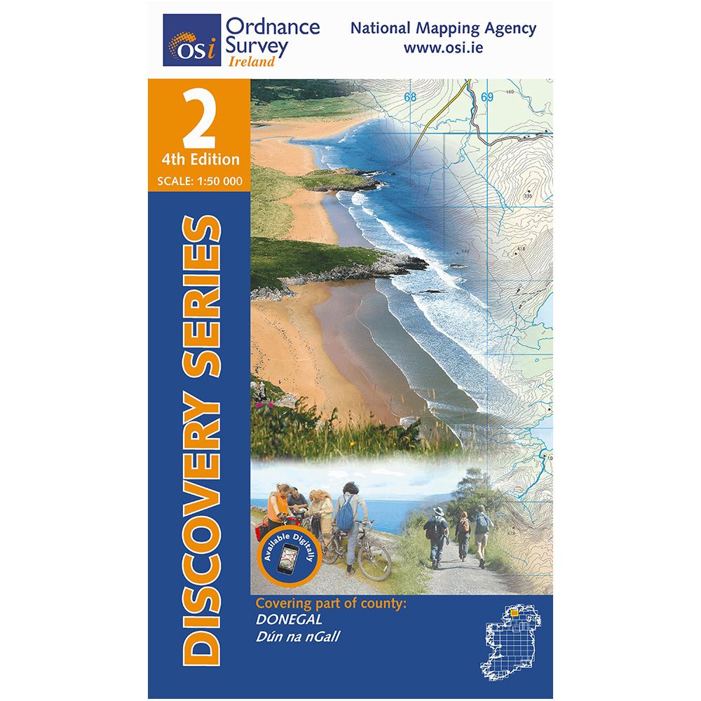
- Donegal N OSI Discovery 2
- Map No. 2, Donegal North-Central in the Discovery series from the OSI, the Ordnance Survey of Ireland, which presents the country on detailed topographic maps at 1:50,000, with additional overprint highlighting campsites and caravan parks, youth hostels, etc. Current 4th edition of this title was published in March 2012.Maps in the Discovery... Read more
- Also available from:
- De Zwerver, Netherlands
De Zwerver
Netherlands
Netherlands
- Topografische kaart - Wandelkaart 2 Discovery Donegal (N Centr) | Ordnance Survey Ireland
- Map No. 2, Donegal North-Central in the Discovery series from the OSI, the Ordnance Survey of Ireland, which presents the country on detailed topographic maps at 1:50,000, with additional overprint highlighting campsites and caravan parks, youth hostels, etc. Current 4th edition of this title was published in March 2012.Maps in the Discovery... Read more

Stanfords
United Kingdom
United Kingdom
- Mayo OSI Discovery 23
- Map No. 23, Mayo North-Central in the Discovery series from the OSI, the Ordnance Survey of Ireland, which presents the country on detailed topographic maps at 1:50,000, with additional overprint highlighting campsites and caravan parks, youth hostels, etc. Current 4th edition of this title was published in February 2011.Maps in the Discovery... Read more

Stanfords
United Kingdom
United Kingdom
- Mayo West-Central OSI Discovery 30
- Map No. 30, Mayo West-Central in the Discovery series from the OSI, the Ordnance Survey of Ireland, which presents the country on detailed topographic maps at 1:50,000, with additional overprint highlighting campsites and caravan parks, youth hostels, etc. Current 4th edition of this title was published in February 2011.Maps in the Discovery... Read more

Stanfords
United Kingdom
United Kingdom
- Mayo Central OSI Discovery 31
- Map No. 31, Mayo Central in the Discovery series from the OSI, the Ordnance Survey of Ireland, which presents the country on detailed topographic maps at 1:50,000, with additional overprint highlighting campsites and caravan parks, youth hostels, etc. Current 5th edition of this title was published in 2015.Maps in the Discovery series have... Read more
More maps…


