E10
Description
- Name E10 (E10)
- Length of trail 2,880 km, 1,790 miles
- Length in days 145 days
- Start of trail Nuorgam (Fin)
- End of trail Tarifa (Es)
- Traildino grading EW, Easy walk, nature trail

E10: Nuorgam (Fin) - Tarifa (Es), 2880 km
Lapland - Baltic Sea – Šumava – Alps
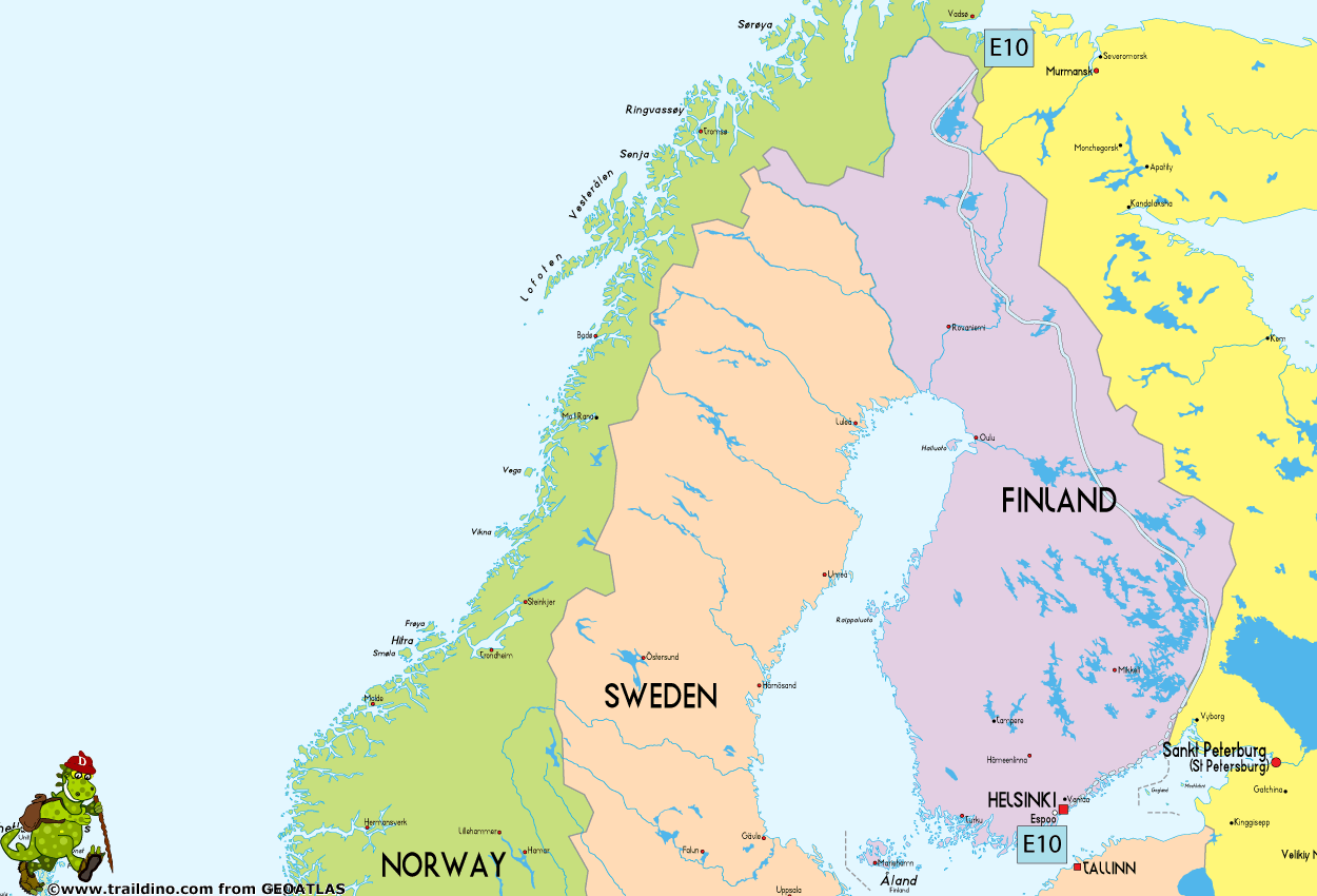
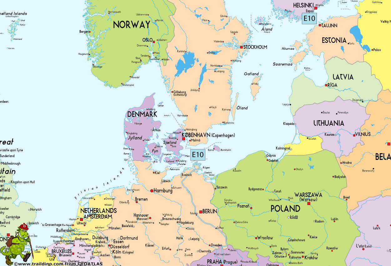
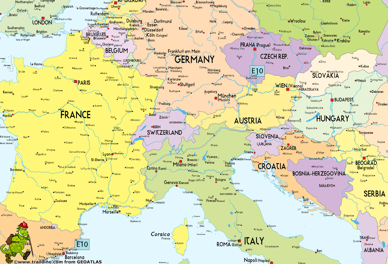
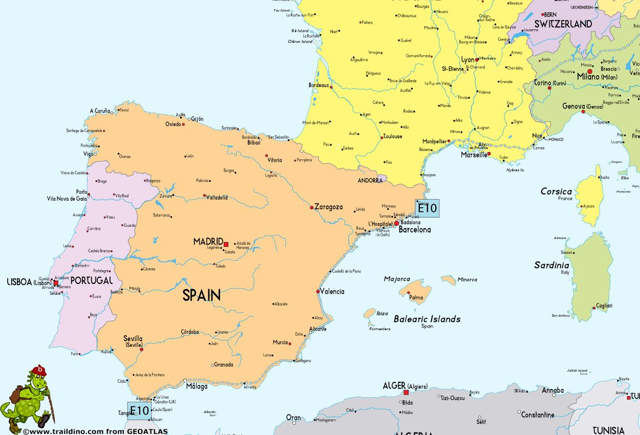
Adding up to 2880 km (marked part only), this trail heads south from the northern border of Finland with Norway, crossing over by ferry to Rostock, and continuing across Germany, the Czech Republic, Austria, Italy and southern France into Spain to end in its southern tip, Tarifa. However, a continuous trail in fact only runs to Bozen in Italy at the moment. The French section is incomplete. But then again the Spanish section is partly in order.
Finland
Important Note: Suomen Latu ry from Finland is not a member of the ERA anymore. The information below is outdated information, just in case you are interested anyway. The proposed E10 trail through Finland is probably incomplete and unmarked.
- Trail is described in literature, but not marked (except some parts in the north and in the south)
- South Karelia: from Uukuniemi to Lappeenranta, 190 km marked
- Boat from Helsinki or Hanko to Rügen in Germany
Germany
- Starting on island of Rügen
- Local trails, marked, small parts missing
Czech Republic
- Local trails, well marked
Austria
- Connecting trail from Germany
- Rupertiweg - 10, Weitwanderweg 10 (WWW 10)
Italy
- From the Austrian border till Bolzano on mountain trails, marked
- From Bolzano to the French border: missing
France
- Missing
Spain
Map
Links
Facts
Reports
Guides and maps
Lodging
Organisations
Tour operators
GPS
Other
Maps

United Kingdom
- Ebermannstadt E10
- Ebermannstadt in a series of GPS compatible recreational editions of the Bavarian topographic survey at 1:25,000, with waymarked hiking trails and cycling routes, campsites and youth hostels, etc. Coverage includes Gößweinstein, Waischenfeld, Wiesenttal, Pottenstein, Pretzfeld, Heiligenstadt i.OFr.Contours used in this map vary between 5 to 20m... Read more


