Nord-Süd Wanderweg - 5
Description
- Name Nord-Süd Wanderweg - 5 (WWW05)
- Length of trail 520 km, 323 miles
- Length in days 30 days
- Start of trail Nebelstein
- End of trail Eibiswald
- Traildino grading SW, Strenuous walk, mountain trail
- Hut tour grading T2, Mountain walk


05
Nord-Süd-Weg, Weitwanderweg 5, Nebelstein – Eibiswald, 520 km
The Austrian "Weitwanderwege" or long distance trail combine easy walking terrain with more difficult Alpine terrain. Similarly this trail, www5.
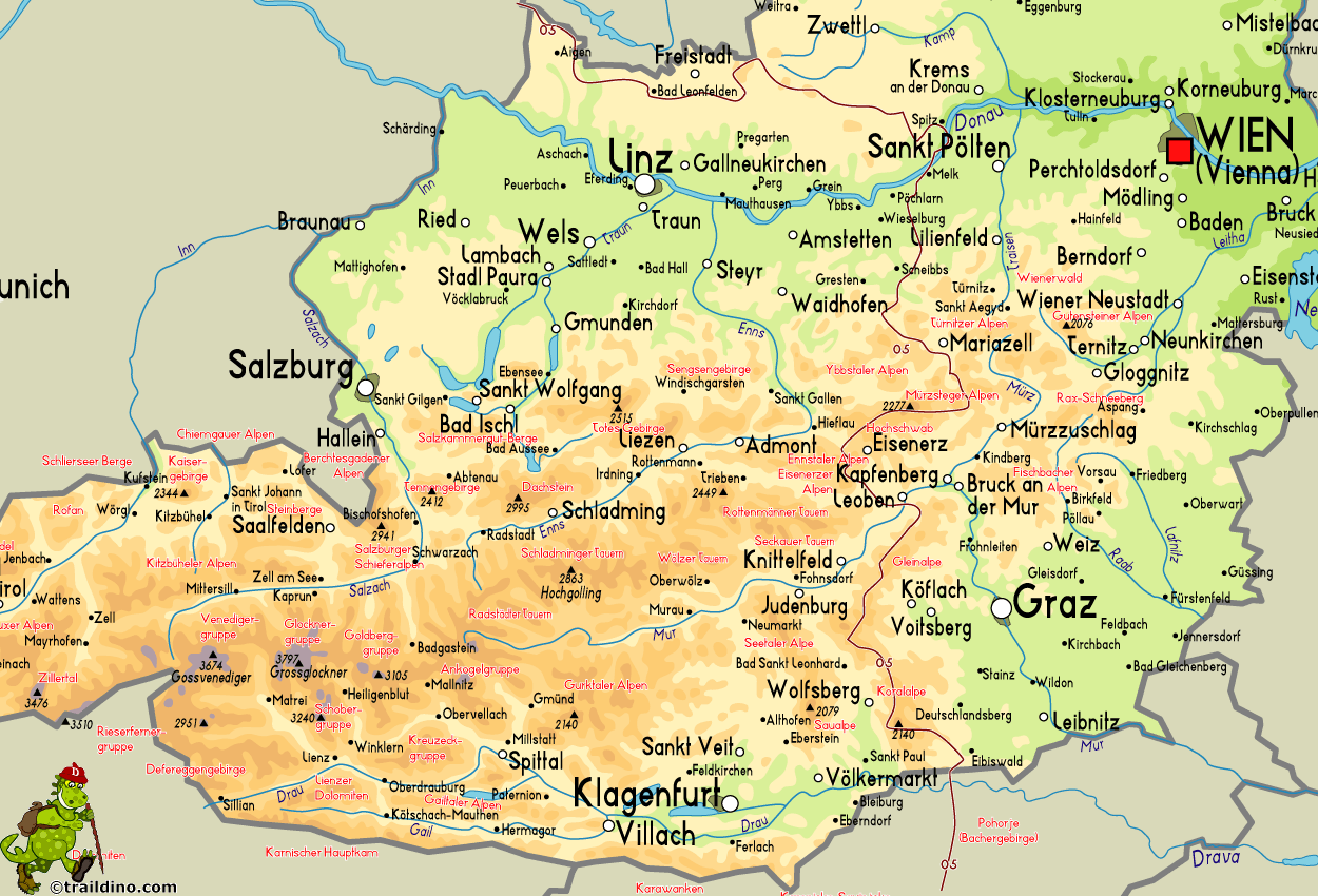
The Nord-Süd-Way, or long distance trail No.5, crosses the country from top to bottom. The first stages go through the beautiful wooded parts of the Waldviertel. After crossing the Danube River, the walk is harder. We now cross the Alps, the beloved Hochschwab Ennstaler Alps. This part requires an Alpine mindset: sturdy climbing and descending, and not always a comfortable track. Further south the trail is easier again, crossing the vast and rolling Gleinalpe and Koralpe. In the south the path ends in the Pohorje mountains, Slovenia.


