Rupertiweg - 10
Description
- Name Rupertiweg - 10 (WWW10)
- Length of trail 563 km, 350 miles
- Length in days 35 days
- Start of trail Bärenstein
- End of trail Naßfeld
- Traildino grading SW, Strenuous walk, mountain trail
- Hut tour grading T2, Mountain walk
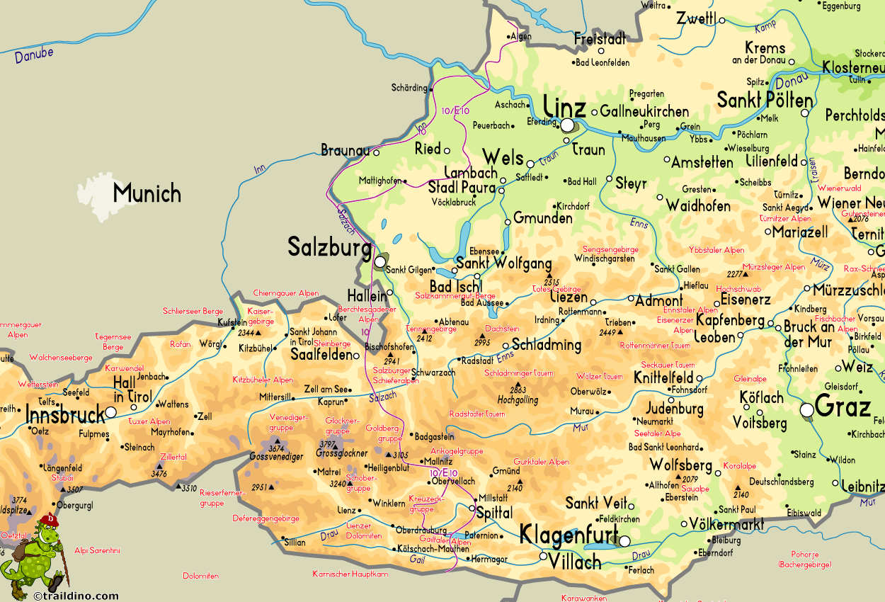
Rupertiweg, Weitwanderweg 10, Bärenstein (1077 m) – Naßfeld, 563 km
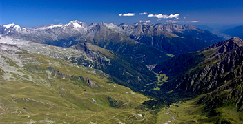
The Rupertiweg is named after St. Rupert. This Austrian long distance trail roughly runs north-south and crosses the Alps on one of its highest points. The trail starts at the Czech border, the mountain Bärenstein. Along low-lying farmland, the path follows the rivers Inn and Salzach to Salzburg. There is also a variant that is more inland. From Salzburg onwards the Alpine part of the hike begins, starting with the Berchtesgadener Alps. Now we walk in Germany for a few days. There are more alpine highlights on the menu: Hohe Tauern, Goldberg Group, Kreuzeck Group and Gailtaler Alps. The path finally hits the Südalpenweg in the Karnischer Alps, where we are almost in Italy.
A varied path, this one. In the Alps it will be a rather difficult and challenging walk in some places. But then there are alternatives.


