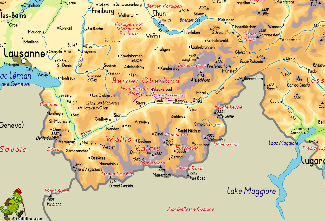
Walliser Sonnenweg
Description
- Name Walliser Sonnenweg
- Length of trail 78 km, 48 miles
- Length in days 4 days
- Start of trail Crans-Montana
- End of trail Brig
- Traildino grading MW, Moderate walk, backpacking trail
- Hut tour grading T1, Walk
78 km. Crans-Montana to Brig.
Select some tracks
☐Walliser Sonnenweg, 40km
Map
Links
Facts
Reports
Guides and maps
Lodging
Organisations
Tour operators
GPS
Other
Maps

Stanfords
United Kingdom
United Kingdom
- Adelboden - Lenk
- Adelboden - Lenk area of the western Bernese Oberland, from Gstaad to Frutigen and Leukerbad at 1:50,000 in a series from Hallwag covering Switzerland’s popular hiking regions on light, waterproof and tear-resistant maps highlighting long-distance paths: the nine national routes plus special regional routes, as well as other local hiking... Read more


