GR131 El Bastón
Description
- Name GR131 El Bastón (GR131)
- Length of trail 66 km, 41 miles
- Length in days 3 days
- Start of trail Puerto de Tazacorte
- End of trail Faro de Fuencaliente
- Traildino grading SW, Strenuous walk, mountain trail
- Hut tour grading T2, Mountain walk


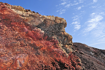 GR131 Ruta de los Volcanes, El Bastón, Ruta de la Crestería de los Volcanes, Puerto de Tazacorte - Faro de Fuencaliente, 66km, 3 (long) days
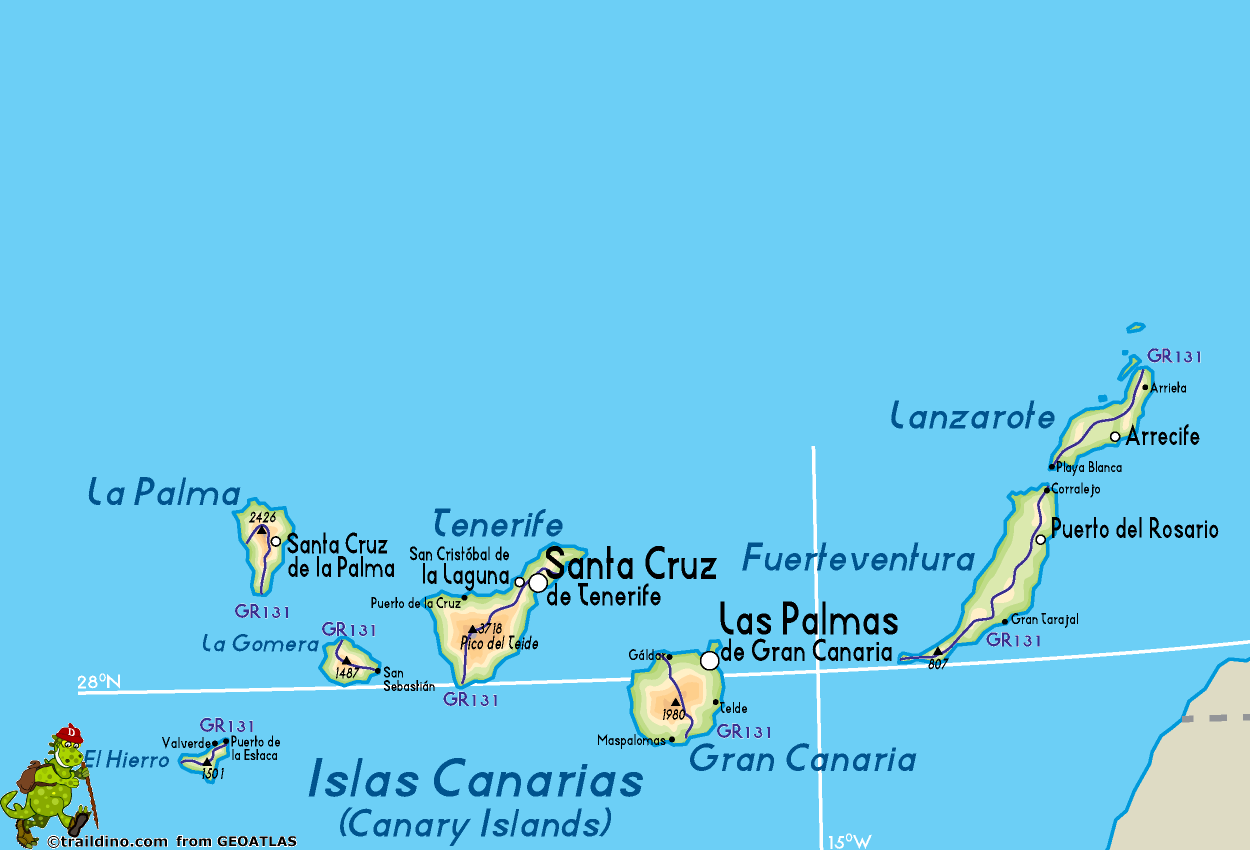
La Palma counts two GR trails, of which the GR131 is the most spectacular one. Whereas the GR130 encircles the island, the GR131 turns inland to climb the crest of Caldera de Taburiente, the wild and eroded caldera in the middle of the island.Once on an altitude of 2000-plus meter, the trail follows the ridge, turns south, and after many ups and downs descends to sea level.
The first day is a steady 11 hour climb to Roque de los Muchachos, 2.425 m high. You will only find water at the start, at the restaurant Del Time (1,5 hours from the start) and at the visitors centre at Roque de los Muchachos. The second day is another 11 hours walk, following the ridge of the main Caldera. You will find water at the unguarded refuges of Punta de los Roques and Refugio del Pilar, end point of this day. The third day will take you up to almost 2.000 meters and then down to the lighthouse at the coast. Water can be found in the village of Fuencaliente / Los Canarios and at the lighthouse.
The height up to 2.500 meters necessitates some precautions: carry enough water and warm clothes. Apart from restaurant Del Time and the village of Fuencaliente, you cannot buy food anywhere. You will need a tent to camp near Roque de los Muchachos; the observatory here does not lodge tourists. Three days for this walk is a very ambitious scheme anyway. Summer is best, with least risk of fog. In winter the weather is most changeable with hard winds and lots of rain and even snow.
This challenging walk is part of the European long distance path E7.
Check the complete list of Canary Islands.
Map
Links
Facts
Reports
Guides and maps
Lodging
Organisations
Tour operators
GPS
Other
Books

United Kingdom
2018
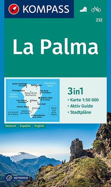
- La Palma Kompass 232
- La Palma at 1:50,000 on a waterproof and tear-resistant, contoured and GPS compatible map from Kompass, with extensive tourist overprint, plus street plans of Santa Cruz de la Palma and Los Llanos de Aridane.Topography is vividly presented by contours at 100m intervals, enhanced by relief shading plus spot heights. An overprint highlights local... Read more
- Also available from:
- De Zwerver, Netherlands
Netherlands
2018
- Wandelkaart 232 La Palma | Kompass
- Die 3in1Wanderkarte ist jetzt noch übersichtlicher und besser lesbar. Die Wanderkarte ist mit zusätzlichen Stadtplänen ausgestattet. Der Aktiv Guide informiert Sie rund um das Thema Outdoor. Das bildet die perfekte Grundlage für die Planung einer Wandertour. Die präzise Kartografie zeigt alle begehbaren Wanderwege inklusive Klassifizierung.... Read more

United Kingdom
2019
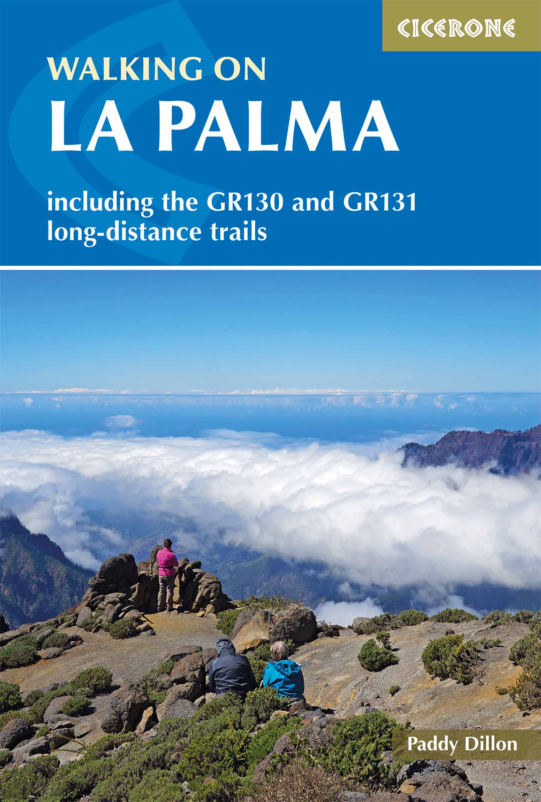
- Walking on La Palma
- Including the GR130 and GR131 long-distance trails Read more
- Also available from:
- De Zwerver, Netherlands
Netherlands
2019
- Wandelgids Walking on La Palma | Cicerone
- Guidebook to 45 walks and scrambles on La Palma in the Canary Islands, ranging from 7 to 31km. Some walks combine to complete the GR130 long-distance trail (eight days) and GR131 trail (three days). Areas explored include Santa Cruz and Buenavista. Contains a Spanish-English glossary. Read more
- Also available from:
- De Zwerver, Netherlands

United Kingdom
2019
- Trekking in the Canary Islands: The GR131 island-hopping route
- This guidebook provides a comprehensive and detailed description of the GR131, an island-hopping trail across the seven Canary Islands. The 560km (348 mile) route begins on Lanzarote and finishes on El Hierro and is presented in 32 daily stages. The route is well waymarked but some navigational skills are required, and the remote and occasional... Read more
- Also available from:
- The Book Depository, United Kingdom
- De Zwerver, Netherlands

United Kingdom
2019
- Trekking in the Canary Islands
- The GR131 island-hopping route Read more

Netherlands
2019
- Wandelgids Trekking in the Canary Islands: The GR131 Island Hopping Route | Cicerone
- Guidebook to the GR131, an island-hopping trail that runs coast to coast across each of the 7 Canary Islands, a sub-tropical Spanish archipelago. Described over 32 stages, the route begins on Lanzarote, finishes on El Hierro, measures 560km (348 miles) and would take an average trekker about 1 month to complete. Read more

United Kingdom
2020
- Walking on Gran Canaria
- 45 day walks including five days on the GR131 coast-to-coast route Read more
- Also available from:
- De Zwerver, Netherlands

Netherlands
2020
- Wandelgids Walking on Gran Canaria | Cicerone
- Guidebook describing 45 day walks on Gran Canaria, generally averaging 10 to 12km each. A long-distance coast-to-coast route on the GR131 is included, and shorter walks can be linked to form longer itineraries. One of the larger Canary Islands, Gran Canaria is a popular destination but offers many peaceful, rural areas perfect for walking. Read more

United Kingdom
2020
- Walking on La Gomera and El Hierro
- 45 day walks and treks for all abilities Read more
- Also available from:
- De Zwerver, Netherlands

United Kingdom
2023
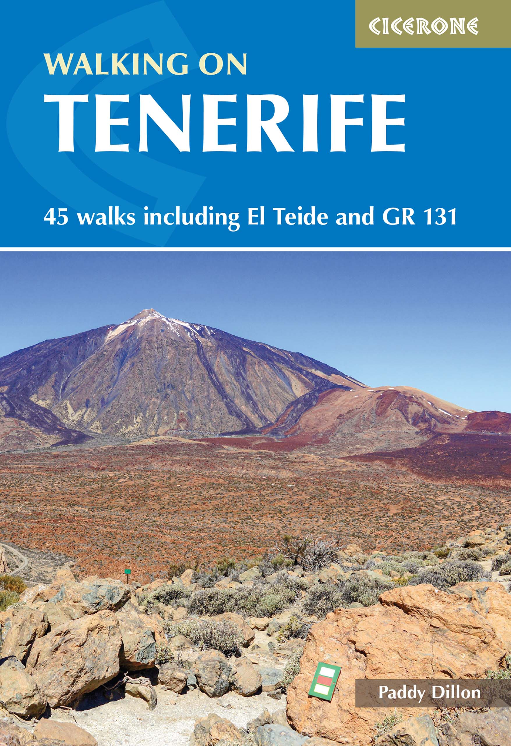
- Walking on Tenerife
- 45 walks including El Teide and GR 131 Read more
- Also available from:
- De Zwerver, Netherlands
Netherlands
2023
- Wandelgids Walking on Tenerife | Cicerone
- 45 walks including El Teide and GR 131 Read more
Netherlands
2013
- Walking on Gran Canaria
- This guide, the fourth in a series of five to the Canary Islands, offers 45 walks including a five-day coast-to-coast route on the long-distance GR 131 - an island-hopping trail that stretches across all seven of the Canaries. All routes Read more
- Also available from:
- Bol.com, Belgium

Belgium
2013
- Walking on Gran Canaria
- This guide, the fourth in a series of five to the Canary Islands, offers 45 walks including a five-day coast-to-coast route on the long-distance GR 131 - an island-hopping trail that stretches across all seven of the Canaries. All routes Read more

United Kingdom
2014
- Walking on Lanzarote and Fuerteventura
- Including sections of the GR131 long-distance trail Read more
- Also available from:
- Bol.com, Netherlands
- Bol.com, Belgium
- De Zwerver, Netherlands
Netherlands
2014
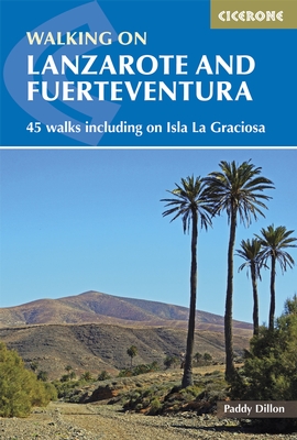
- Walking on Lanzarote and Fuerteventura
- This book describes 21 walks on Lanzarote, 2 on Isla La Graciosa (off Lanzarote's northern coast) and 22 on Fuerteventura, including 14 walks on the GR 131 trail, which crosses both islands including Isla de Lobos at the tip of Fuerteventura. These traditional routes span a range of arid, agricultural and natural areas. Walks feature hill and... Read more

Belgium
2014
- Walking on Lanzarote and Fuerteventura
- This book describes 21 walks on Lanzarote, 2 on Isla La Graciosa (off Lanzarote's northern coast) and 22 on Fuerteventura, including 14 walks on the GR 131 trail, which crosses both islands including Isla de Lobos at the tip of Fuerteventura. These traditional routes span a range of arid, agricultural and natural areas. Walks feature hill and... Read more
Netherlands
2014
- Wandelgids Walking on Lanzarote and Fuerteventura | Cicerone
- One of Paddy Dillon's five-volume series to the Canaries, this book offers 45 walks on Lanzarote and Fuerteventura, including 14 walks on the long-distance GR 131 trail, which crosses both islands. Lanzarote has a fascinating volcanic national park; Fuerteventura has famous golden beaches. Both islands are crossed by new trails. Read more
Netherlands
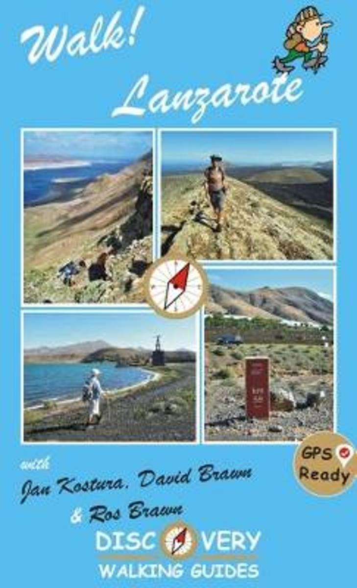
- Walk Lanzarote
- Lanzarote's most popular walking guide book just got even better. Walk! Lanzarote 4th edition builds on the reputation of our earlier editions with more walks and comprehensive updating so that it caters for the needs of the increasing number of people who would like to combine some walking with a holiday on the Fire island. Walk Lanzarote... Read more
- Also available from:
- Bol.com, Belgium

Belgium
- Walk Lanzarote
- Lanzarote's most popular walking guide book just got even better. Walk! Lanzarote 4th edition builds on the reputation of our earlier editions with more walks and comprehensive updating so that it caters for the needs of the increasing number of people who would like to combine some walking with a holiday on the Fire island. Walk Lanzarote... Read more
Netherlands
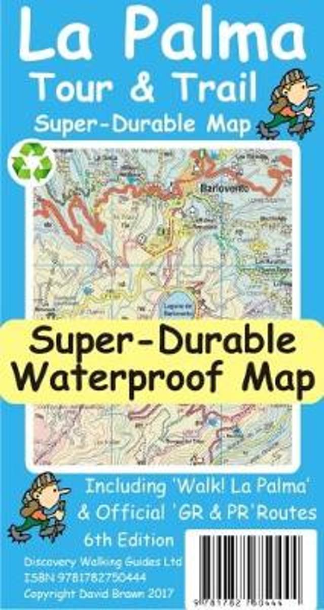
- La Palma Tour & Trail Super-Durable Map
- La Palma Tour & Trail Super-Durable Map 4th edition isbn 9781904946922. New 2013 4th Edition of our La Palma Tour & Trail Super-Durable Map is now available. Our large 1:40,000 scale, combined with splitting the island into a North (Landscape view) and South (Portrait view) with a generous overlap, produces double sided map whose total size is... Read more
- Also available from:
- Bol.com, Belgium

Belgium
- La Palma Tour & Trail Super-Durable Map
- La Palma Tour & Trail Super-Durable Map 4th edition isbn 9781904946922. New 2013 4th Edition of our La Palma Tour & Trail Super-Durable Map is now available. Our large 1:40,000 scale, combined with splitting the island into a North (Landscape view) and South (Portrait view) with a generous overlap, produces double sided map whose total size is... Read more

United Kingdom
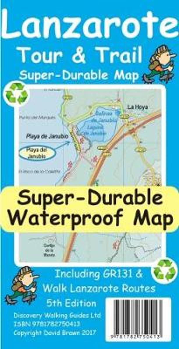
- Lanzarote Tour & Trail Super-Durable Map
- Lanzarote Tour & Trail Super-Durable Map 5th edition covers this big island at a scale of 1:40,000 resulting in the most detailed and toughest map of Lanzarote that you can buy. Large 960mm by 700mm double sided map sheet with generous overlap, to reduce turning the map in use, folds to 235mm by 120mm pocket size using our special `concertina... Read more
- Also available from:
- Bol.com, Netherlands
- Bol.com, Belgium
Netherlands
- Lanzarote Tour & Trail Super-Durable Map
- This map is being replaced by a new 4th edition published on 9 May 2016 ISBN 9781782750277. Lanzarote Tour & Trail Map 3rd edition Super-Durable version covers this big island at a scale of 1:40,000 resulting in the most detailed and toughest map of Lanzarote that you can buy. All the country walking routes from our new 3rd edition of Walk!... Read more

Belgium
- Lanzarote Tour & Trail Super-Durable Map
- This map is being replaced by a new 4th edition published on 9 May 2016 ISBN 9781782750277. Lanzarote Tour & Trail Map 3rd edition Super-Durable version covers this big island at a scale of 1:40,000 resulting in the most detailed and toughest map of Lanzarote that you can buy. All the country walking routes from our new 3rd edition of Walk!... Read more
Netherlands
2013
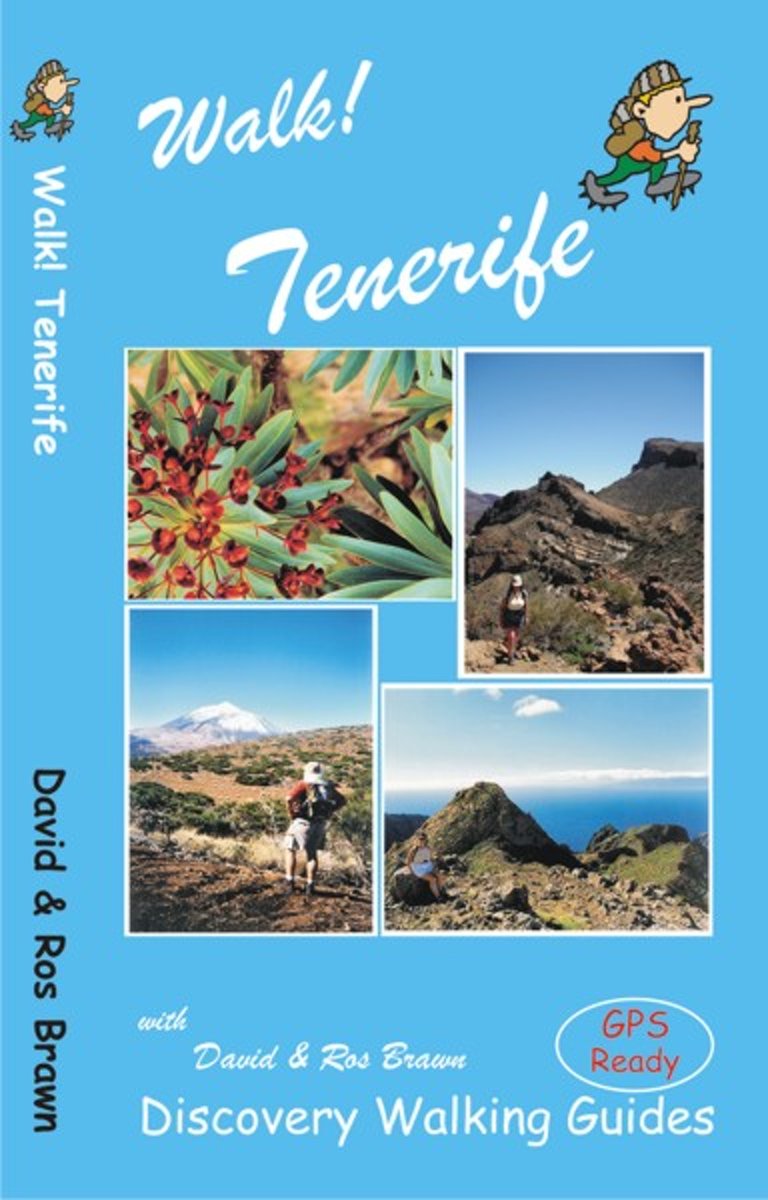
- Walk! Tenerife
- A new edition of Walk! Tenerife is due to be published in September 2017 with completely revised and new walking routes. Comprehensive walking guide book to Tenerife's best walking. 46 fully detailed walking routes with 1:25,000 scale maps and GPS Waypoints. A real 'Rolls Royce' of a walking guide to the authors' home island. Contents:- The... Read more
- Also available from:
- Bol.com, Belgium

Belgium
2013
- Walk! Tenerife
- A new edition of Walk! Tenerife is due to be published in September 2017 with completely revised and new walking routes. Comprehensive walking guide book to Tenerife's best walking. 46 fully detailed walking routes with 1:25,000 scale maps and GPS Waypoints. A real 'Rolls Royce' of a walking guide to the authors' home island. Contents:- The... Read more
Netherlands
2010
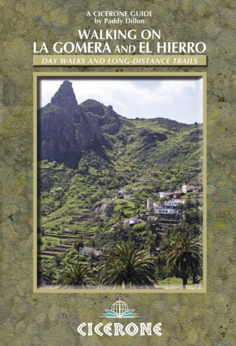
- Walking on La Gomera and El Hierro
- Walking guide to La Gomera and El Hierro, in the Canaries, with day walks and long-distance trails including Camino de La Virgen, GR132 around La Gomera and part of GR131 across the Canary Islands. Routes in Garajonay National Park and from San Sebastien and Valverde. Rugged mountain treks, coastal walks and easier expeditions. Read more
- Also available from:
- Bol.com, Belgium

Belgium
2010
- Walking on La Gomera and El Hierro
- Walking guide to La Gomera and El Hierro, in the Canaries, with day walks and long-distance trails including Camino de La Virgen, GR132 around La Gomera and part of GR131 across the Canary Islands. Routes in Garajonay National Park and from San Sebastien and Valverde. Rugged mountain treks, coastal walks and easier expeditions. Read more
Maps

United Kingdom
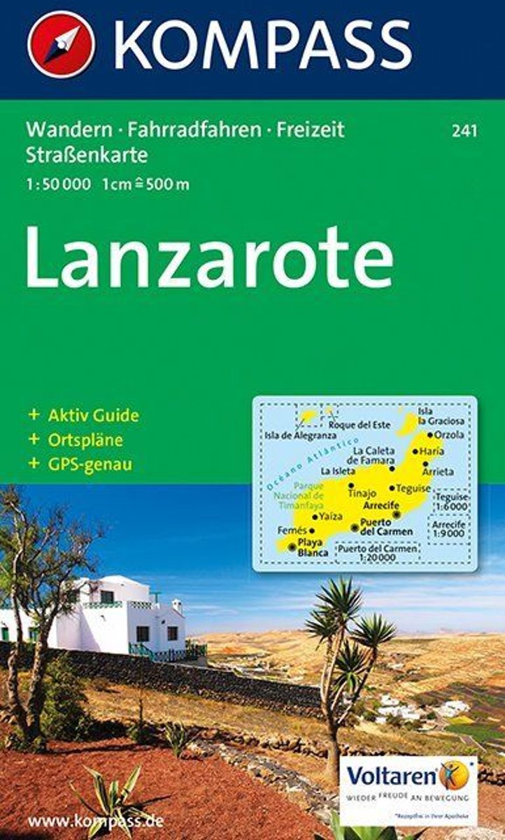
- Lanzarote Kompass 241
- Lanzarote at 1:50,000 on a contoured and GPS compatible map from Kompass, with extensive tourist overprint, plus street plans of Arrecife, Puerto del Carmen and Teguise. Coverage includes the nearby islands of Graciosa, Montaña Clara and Alwegranza.Topography is vividly presented by contours at 50m intervals, enhanced by relief shading plus... Read more
Netherlands
- Lanzarote WK241
- Toeristische kaart voor wandelen, fietsen en vrije tijd met activiteitengids en stadsplattegronden • goed leesbare schaal van 1:50 000 • te gebruiken met GPS • met praktische informatie over de regio • wandel- en fietspaden • aanbevolen routes • kastelen • uitzichtpunten • stranden en baaien • toeristische informatie • veel topografische... Read more
- Also available from:
- Bol.com, Belgium

Belgium
- Lanzarote WK241
- Toeristische kaart voor wandelen, fietsen en vrije tijd met activiteitengids en stadsplattegronden • goed leesbare schaal van 1:50 000 • te gebruiken met GPS • met praktische informatie over de regio • wandel- en fietspaden • aanbevolen routes • kastelen • uitzichtpunten • stranden en baaien • toeristische informatie • veel topografische... Read more
Netherlands
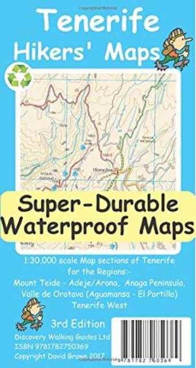
- Tenerife Hikers Maps
- Our latest hiking research on Tenerife has resulted in new editions of Walk! Tenerife and Tenerife Hikers' Super-Durable Maps being published in 2017. Thanks to Jan Kostura's 2016 research we have several new hiking adventures described in detail in Walk! Tenerife. Jan's gps records of his research for new routes and updating of current routes... Read more
- Also available from:
- Bol.com, Belgium

Belgium
- Tenerife Hikers Maps
- Our latest hiking research on Tenerife has resulted in new editions of Walk! Tenerife and Tenerife Hikers' Super-Durable Maps being published in 2017. Thanks to Jan Kostura's 2016 research we have several new hiking adventures described in detail in Walk! Tenerife. Jan's gps records of his research for new routes and updating of current routes... Read more
Netherlands
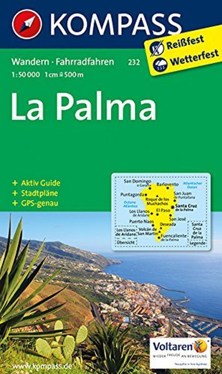
- Kompass WK232 La Palma
- Toeristische kaart voor wandelen, fietsen en vrije tijd met activiteitengids en stadsplattegronden • goed leesbare schaal van 1:50 000 • te gebruiken met GPS • met praktische informatie over de regio • wandel- en fietspaden • aanbevolen routes • kastelen • uitzichtpunten • stranden en baaien • toeristische informatie • veel topografische... Read more
- Also available from:
- Bol.com, Belgium

Belgium
- Kompass WK232 La Palma
- Toeristische kaart voor wandelen, fietsen en vrije tijd met activiteitengids en stadsplattegronden • goed leesbare schaal van 1:50 000 • te gebruiken met GPS • met praktische informatie over de regio • wandel- en fietspaden • aanbevolen routes • kastelen • uitzichtpunten • stranden en baaien • toeristische informatie • veel topografische... Read more


